The best walks and hikes around Böhnhusen
4.5
(8595)
28,627
hikers
753
hikes
Hiking around Böhnhusen offers diverse landscapes, including extensive forest paths and hilly terrain. The region is characterized by its proximity to the Eider River valley (Eidertal), which features well-developed paths and natural attractions. Hikers can also explore the unique Kirchenmoor area and routes that pass by lakes and ponds, such as the Viehteich. This varied terrain provides a dynamic hiking experience.
Best hiking trails around Böhnhusen
- The most popular hiking route is Stud Farm Near the Baltic Sea – Lake…
Last updated: October 22, 2026
4.6
(183)
552
hikers
15.2km
03:57
90m
90m
Moderate hike. Good fitness required. Easily walkable paths.
4.6
(51)
153
hikers
Easy hike. Easily walkable paths.

4.9
(15)
33
hikers
Moderate hike. Good fitness required. Easily walkable paths.
4.8
(17)
49
hikers
Easy hike. Easily walkable paths.
4.0
(10)
59
hikers
3.27km
00:50
10m
10m
Easy hike. Easily walkable paths.
Get access to more routes and recommendations from other explorers.
Already have an account?
Our route recommendations are based on thousands of hikes, rides, and runs completed by other people on komoot.
Start today with a free account
Your next adventure awaits.
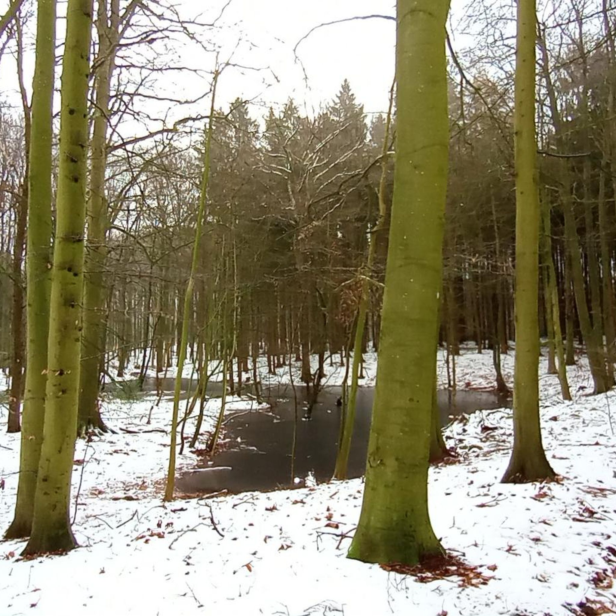
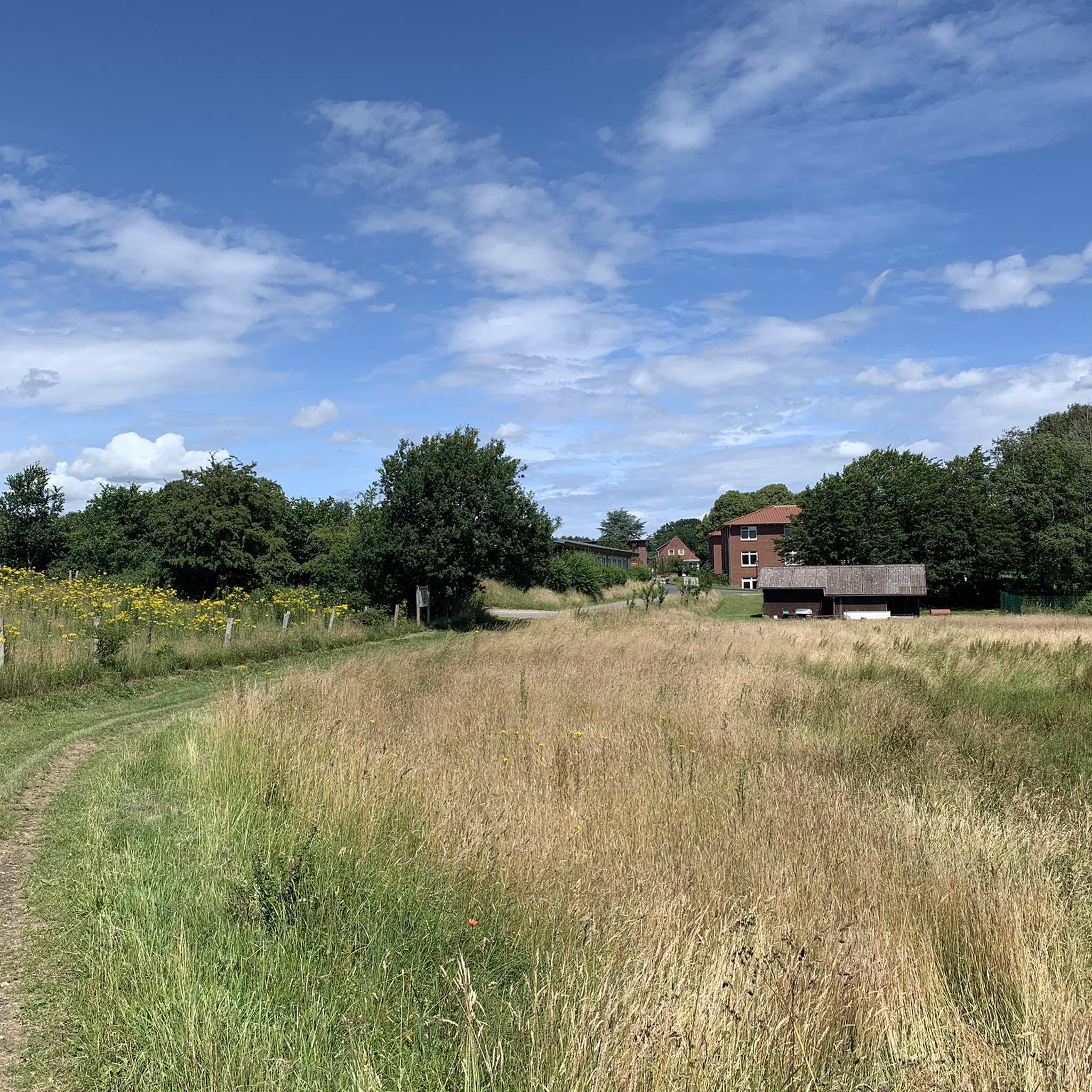
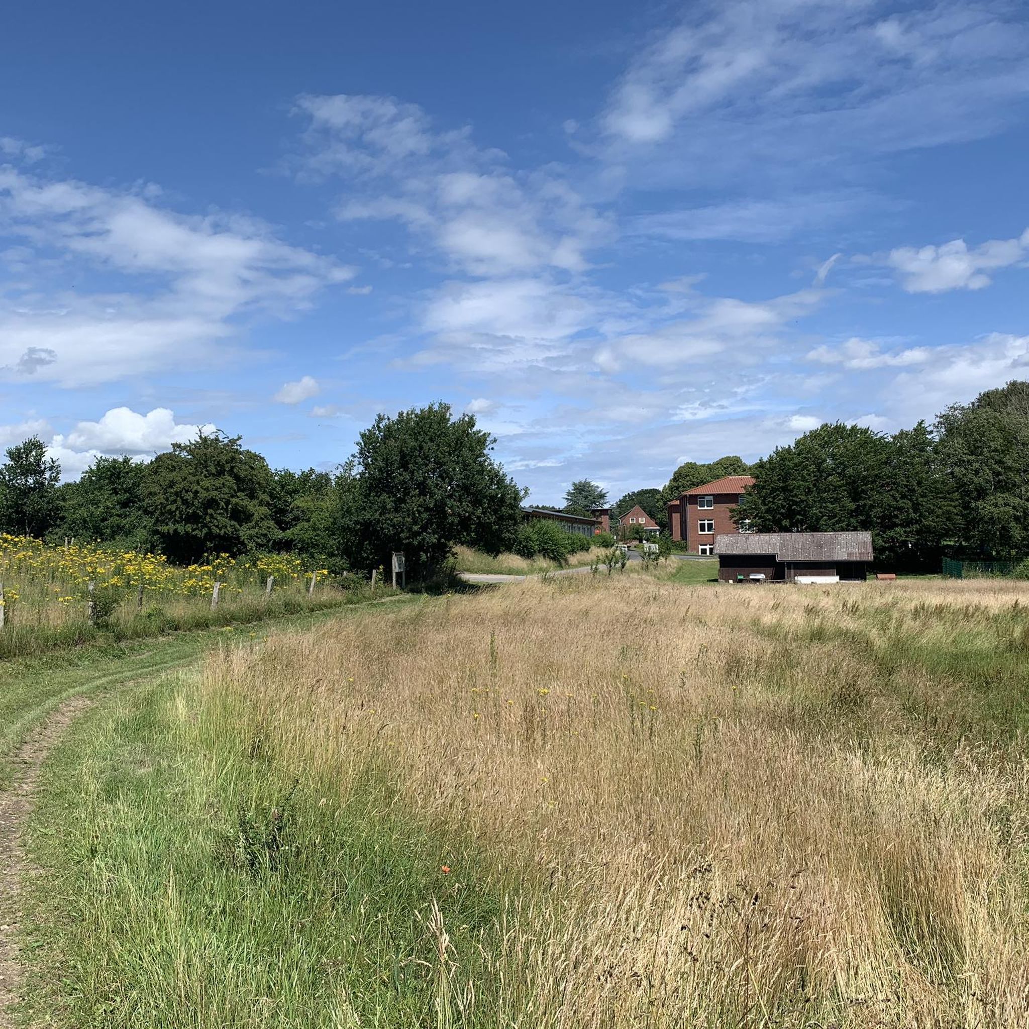

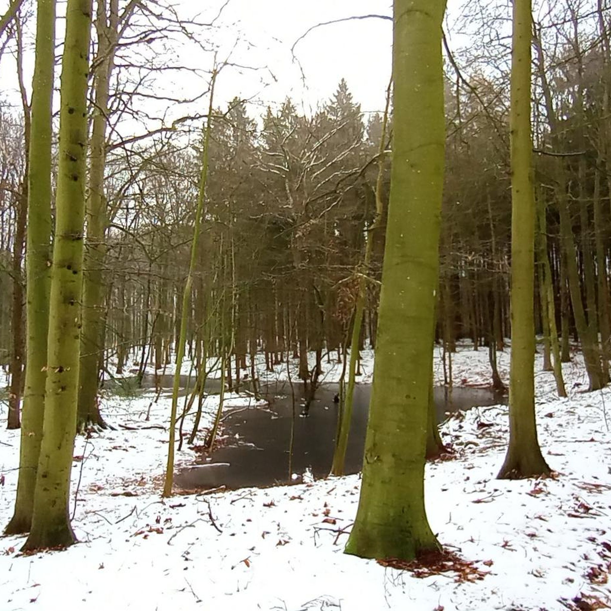
Tips from the Community

My dear wife hiked this trail, "Eider Valley with Blue Bridge," with me on July 20, 1925. The blue bridge is the first iron structure in this area.
0
0
My dear wife and I passed through here on our hike "Eider Valley with Blue Bridge." We enjoyed the forest and the landscape. We missed this granite.
0
0
I passed by here on my hike "Parking lot🅿️ in the Sören Forest - Forest parking lot 🅿️ Blumenthal Loop from Blumenthal." It was a lovely short hiking holiday.
0
0

It has now completely grown over.
1
1

Definitely avoid it in June, as there are more mosquitoes in the ponds than we've ever seen in Sweden!
0
0

Evangelical church building from 1695. A crypt was added to the brick building in 1734. OBLIQUE: The bell tower stands next to the church.
2
0
The two-tiered water flow under this bridge shows how much the water level has been lowered over the past two centuries.
3
0

St. Catherine's Church (Sankt-Katharinen-Kirche) in Kirchbarkau is a historical Lutheran church built in the 12th century. She is named after Saint Catherine of Alexandria, who is revered as one of the fourteen holy helpers and the patroness of philosophers and scientists. was built in the 12th century and has since been an important religious center in the region. She is named after Saint Catherine of Alexandria, who is revered as one of the fourteen holy helpers and the patroness of philosophers and scientists.
2
0
Frequently Asked Questions
How many hiking trails are available around Böhnhusen?
Böhnhusen offers a wide selection of hiking opportunities, with over 680 trails recorded on komoot. This includes more than 440 easy routes, 220 moderate paths, and 15 more challenging options, ensuring there's a suitable trail for every preference.
What kind of landscapes can I expect when hiking near Böhnhusen?
The region around Böhnhusen features diverse landscapes, including extensive forest paths and enchanting hilly terrain. You can explore the unique Kirchenmoor area, walk along the scenic Eider River valley (Eidertal), and discover routes that pass by serene lakes and ponds like the Viehteich. This variety provides a dynamic hiking experience.
Are there easy hiking trails suitable for beginners in Böhnhusen?
Yes, Böhnhusen has over 440 easy hiking routes, perfect for beginners or those looking for a relaxed walk. An example is the Forest Ponds – Forest Parking Area loop from Schönhorst, which is an easy 3.5 km (2.2 miles) trail.
Are there any circular hiking routes in Böhnhusen?
Many trails in Böhnhusen are designed as circular routes, allowing you to start and end at the same point. For instance, the Stud Farm Near the Baltic Sea – View of Bothkamper Lake loop from Schönhorst is a moderate 9.6 km (6 miles) loop offering views of Bothkamper Lake.
Can I find trails that pass by lakes or water features?
Absolutely. The region around Böhnhusen is dotted with lakes and ponds. The "See-Waldweg Runde" (lake-forest path loop) from Böhnhusen, for example, passes by the Viehteich, where shelters are available. You can also find trails near the Westensee and the Ahrensee.
Are there any natural landmarks or points of interest to explore?
Yes, Böhnhusen is close to several natural landmarks. You can explore the unique Boardwalk in the Dosenmoor Nature Reserve, or visit the Renatured Section of the Eider River. The Eidertal itself offers features like the "Green Bridge Over the Eider" and the "Hof Siek Naturlehrpfad" (nature trail).
What do other hikers say about the trails in Böhnhusen?
The hiking trails in Böhnhusen are highly regarded by the komoot community, boasting an average rating of 4.6 stars from over 7,300 reviews. Hikers often praise the varied terrain, from tranquil forest paths to scenic river valleys, and the well-maintained nature of the routes.
Are the hiking trails in Böhnhusen suitable for families with children?
Many of the easy and moderate trails in Böhnhusen are well-suited for families. The varied terrain, including forest paths and areas near lakes, provides engaging environments for children to explore. Routes with lower elevation gain and shorter distances are ideal for family outings.
Are dogs allowed on the hiking trails around Böhnhusen?
Generally, dogs are welcome on hiking trails in the Böhnhusen region. It's always recommended to keep dogs on a leash, especially in nature reserves or areas with wildlife, to ensure their safety and respect for the local environment. Always check local signage for specific regulations.
What is the best season for hiking in Böhnhusen?
Böhnhusen offers pleasant hiking experiences throughout much of the year. Spring brings blooming nature, while summer provides lush green forests. Autumn is particularly scenic with vibrant foliage. Even in winter, the forest paths can be beautiful, though conditions may require appropriate gear.
Are there any longer or more challenging hikes available?
While Böhnhusen is known for its accessible trails, there are options for more challenging hikes. For example, the Stud Farm Near the Baltic Sea – Lake Forest Path loop from Böhnhusen is a difficult 22.3 km (13.9 miles) trail that takes nearly 6 hours to complete, traversing varied forest and lake landscapes.
What kind of elevation changes can I expect on Böhnhusen's hiking paths?
The terrain around Böhnhusen features enchanting hilly landscapes, so you can expect some gentle elevation changes. While not mountainous, routes often include gradual ascents and descents, adding variety to your hike. For instance, a longer route like the Stud Farm Near the Baltic Sea – Lake Forest Path loop has an elevation gain of about 125 meters (410 feet).
Most popular routes around Böhnhusen
Most popular attractions around Böhnhusen

Get inspired with the komoot mobile app


Explore more
Browse the best Hikes in other regions.
