The best road cycling routes around Soustelle
4.4
(159)
5,667
riders
238
rides
Road cycling routes around Soustelle are characterized by the commune's position on a ridge separating the Gardon and Galeizon valleys, offering varied inclines and descents. Situated at an elevation of 520 meters within the Cévennes region, the terrain provides diverse landscapes suitable for road cycling. The area features a network of departmental roads that connect historical sites and natural features, making it appealing for cyclists seeking both physical challenge and scenic exploration.
Best road cycling routes around Soustelle
- The most…
Last updated: June 30, 2026
4.7
(18)
466
riders
69.0km
03:27
890m
890m
Moderate road ride. Good fitness required. Some segments of this route may be unpaved and difficult to ride.
4.5
(2)
60
riders
52.6km
02:50
980m
980m
Hard road ride. Very good fitness required. Mostly well-paved surfaces and easy to ride.

Sign up for free
4.5
(2)
18
riders
56.8km
03:35
1,240m
1,240m
Hard road ride. Very good fitness required. Mostly well-paved surfaces and easy to ride.
18
riders
73.5km
03:59
1,370m
1,370m
Hard road ride. Very good fitness required. Mostly well-paved surfaces and easy to ride.
5.0
(1)
16
riders
46.5km
02:36
1,010m
1,010m
Hard road ride. Very good fitness required. Mostly well-paved surfaces and easy to ride.
Get access to more routes and recommendations from other explorers.
Sign up for free
Already have an account?
Our route recommendations are based on thousands of hikes, rides, and runs completed by other people on komoot.
Start today with a free account
Your next adventure awaits.
Login or Signup

Tips from the Community

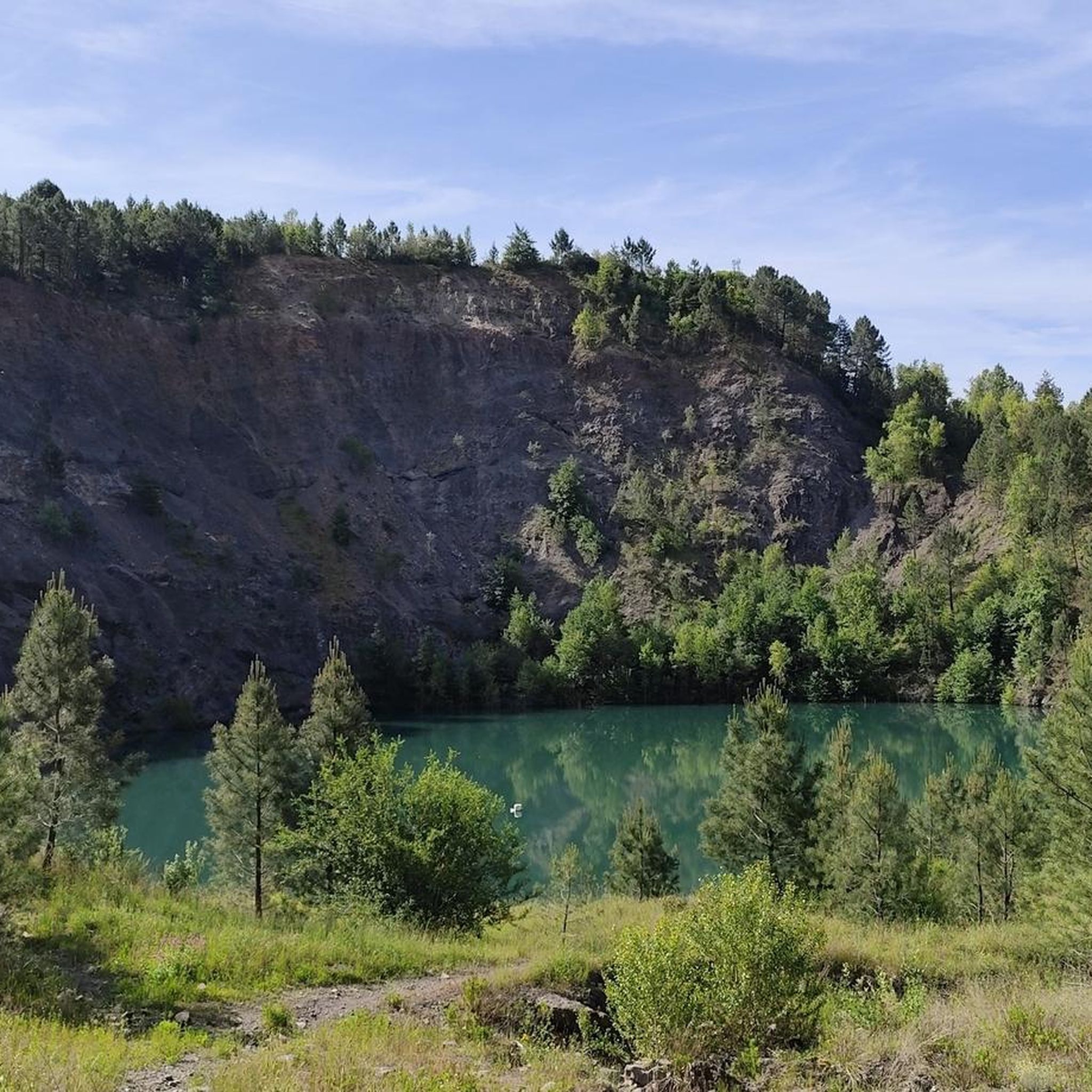
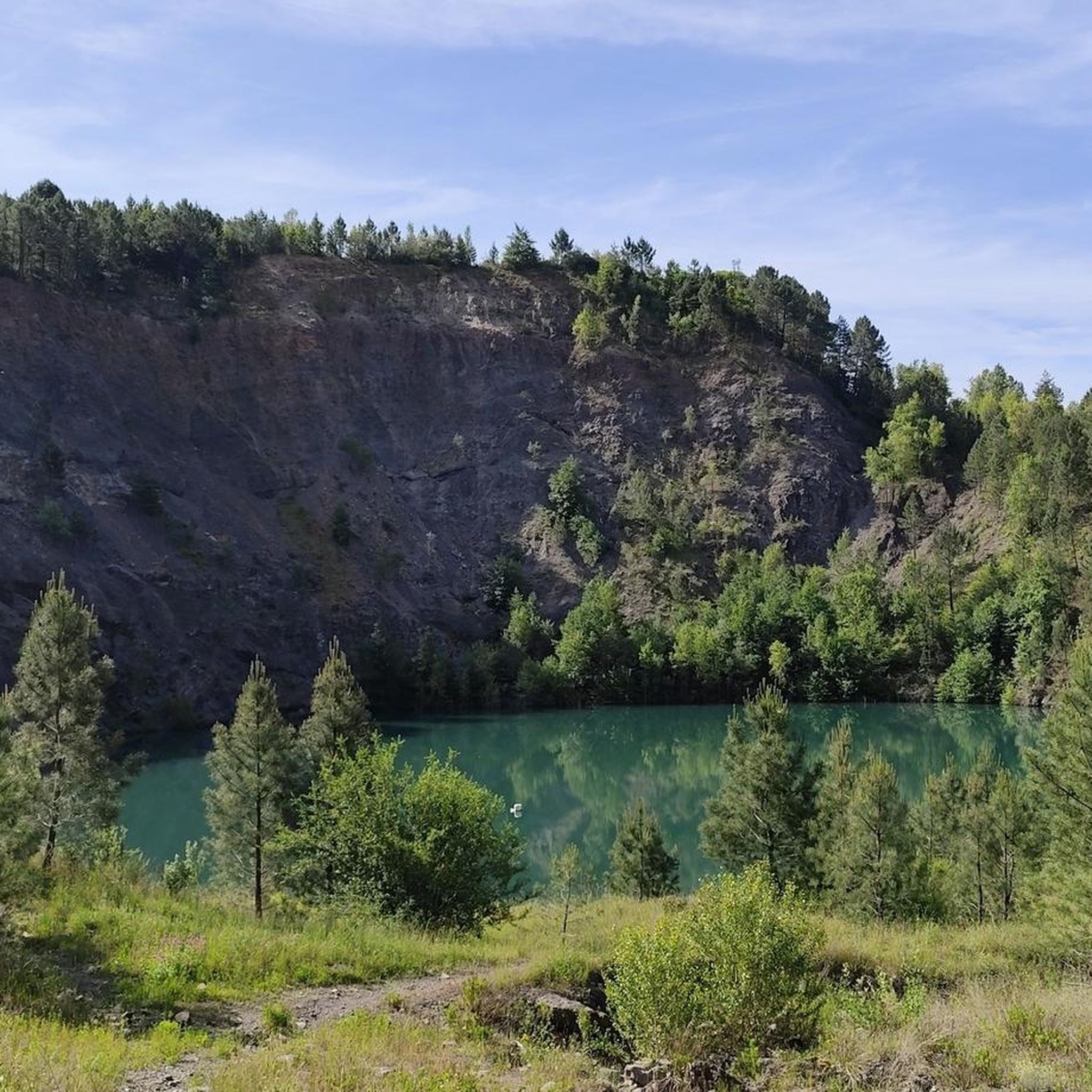
This metal bridge spans the Galeizon river, known for the quality of its waters, suitable for swimming.
0
0

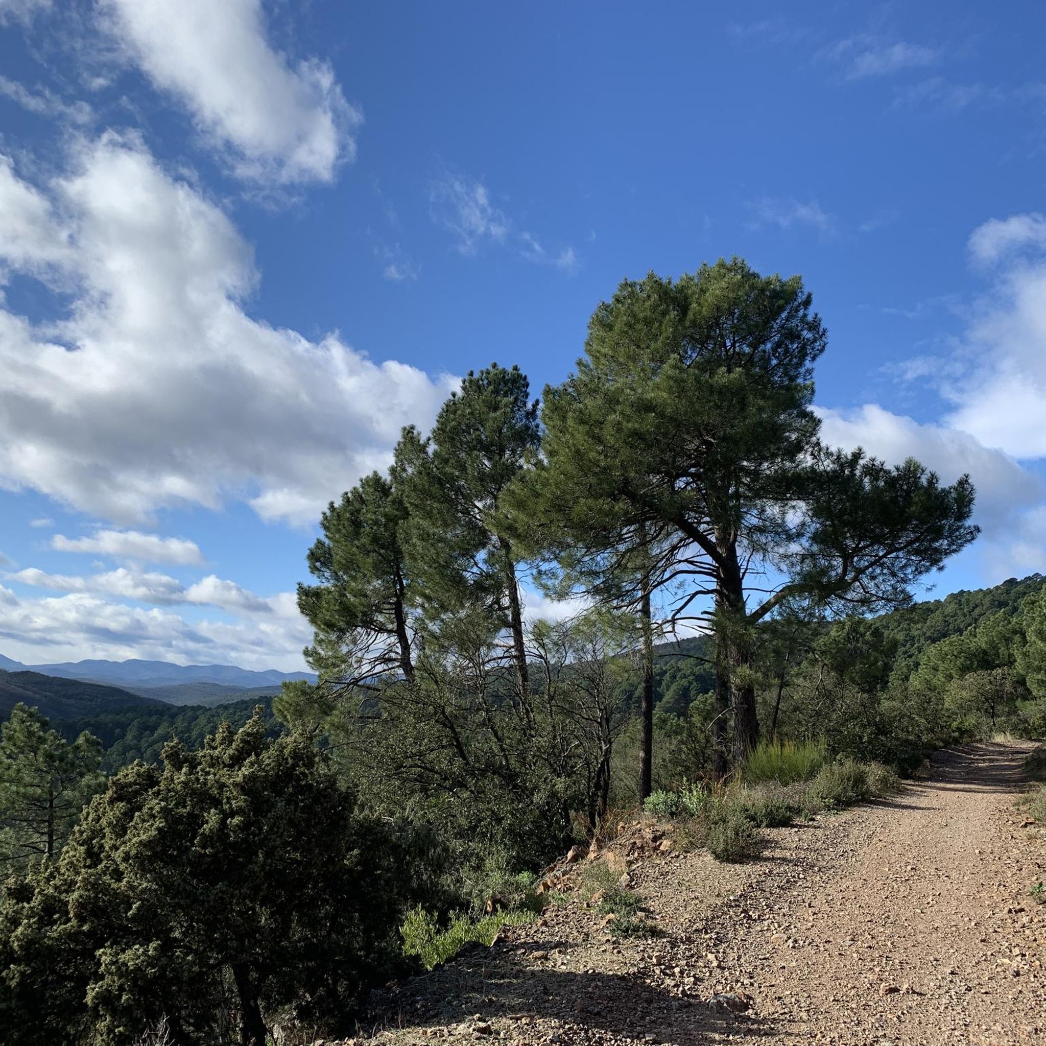
Nice 2.5 km climb from Le Martinet. At the top, the pass is the confluence of several forest tracks that allow you to explore the surrounding mountains, one of which, the Chemin de Trélis, allows you to reach Rochessadoule.
0
0

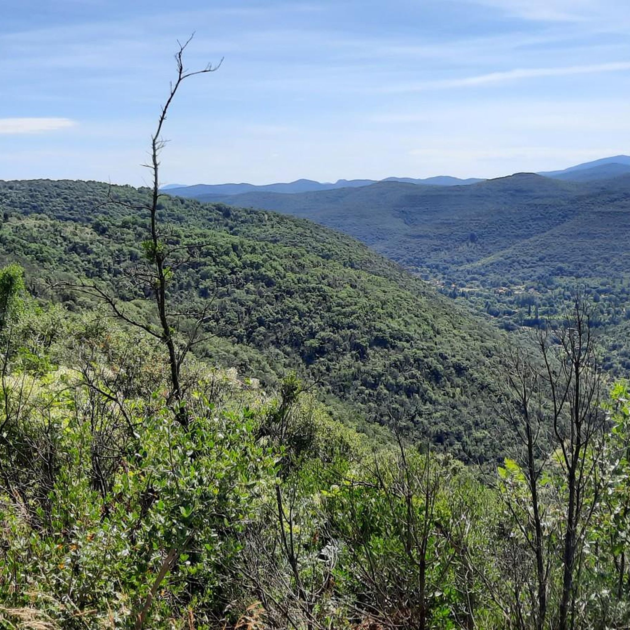
magnificent view. Moderate difficulty. Beware of high heat.
0
0
not as easy as it seems 🦵
0
0

View over the Luech to the noteworthy railway viaduct.
0
0
There isn't much to see from that spot.
0
0
small road, partly beautiful views
2
0

A dreamlike mountain road - so beautiful and so quiet
0
0
Frequently Asked Questions
What kind of terrain can I expect on road cycling routes around Soustelle?
Road cycling around Soustelle is defined by its ridge-top location, separating the Gardon and Galeizon valleys. This means you can expect a diverse landscape with varied inclines and descents, characteristic of the Cévennes region. The area offers a mix of challenging climbs and scenic descents on well-maintained departmental roads.
How many road cycling routes are available in the Soustelle area?
There are over 230 road cycling routes available around Soustelle, catering to various skill levels. This includes 11 easy routes, 134 moderate routes, and 91 difficult routes, ensuring options for every cyclist.
What do other road cyclists enjoy most about the routes in Soustelle?
The road cycling routes in Soustelle are highly rated by the komoot community, with an average score of 4.5 stars from over 150 reviews. Cyclists often praise the varied terrain, the challenging climbs, and the scenic exploration opportunities that combine physical activity with cultural discovery.
Are there any challenging road cycling routes for experienced cyclists?
Yes, Soustelle offers numerous challenging routes. For instance, the Portes Castle – Portes Castle loop from Grand-Combe-la-Pise is a difficult 52.4 km path with significant elevation changes. Another demanding option is the Col d'Uglas – Descent of Col d'Uglas loop from Cendras, covering 56.9 km with over 1200 meters of ascent.
What historical landmarks can I see along the road cycling routes in Soustelle?
The region is rich in history. You can cycle past sites like the 12th-century Château de Soustelle, the historic Château du Périès, or the Château d'Olympie, which dates back to 1308. The area also features ancient prehistoric monuments, including dolmens and tumuli, offering a glimpse into the region's past. For more details, you can explore attractions like the Château de Soustelle.
Are there any natural attractions or scenic viewpoints accessible by road bike?
Absolutely. Many routes offer stunning natural beauty. You can encounter features like the Abarines Bridge, the dramatic Chaos de l'Amous gorge, and various viewpoints offering panoramic vistas of the Cévennes Mountains. The Col d'Uglas is also a notable natural feature often included in routes.
What is the best time of year for road cycling in Soustelle?
Given its location in the Cévennes, the spring and autumn months generally offer the most pleasant conditions for road cycling in Soustelle, with milder temperatures and beautiful scenery. Summer can be warm, but higher elevations might provide some relief. Always check local weather forecasts before heading out.
Are there any long-distance road cycling routes in the Soustelle area?
Yes, for those seeking longer rides, routes like the Abarines Bridge – Col de Saint-Pierre loop from Grand-Combe-la-Pise cover approximately 108 km and feature over 2100 meters of elevation gain, providing a significant challenge and extensive exploration of the region.
Can I find family-friendly road cycling routes in Soustelle?
While many routes in Soustelle feature varied inclines due to the region's topography, there are easier options available. With 11 routes classified as 'easy', families or less experienced cyclists can find suitable paths. It's recommended to check the route profiles for elevation and distance to ensure they match your family's capabilities.
Where can I park my car when starting a road cycling route in Soustelle?
While specific parking areas for cyclists in Soustelle are not detailed, many routes start from nearby towns like Grand-Combe-la-Pise or Saint-Paul-la-Coste. These towns typically offer public parking facilities suitable for starting your cycling adventure. It's advisable to check local parking regulations upon arrival.
Are there any circular road cycling routes available?
Yes, many of the road cycling routes around Soustelle are designed as loops, allowing you to start and finish at the same point. Examples include the popular Descent of Col d'Uglas – Col d'Uglas loop from Grand-Combe-la-Pise and the Alès loop from Saint-Paul-la-Coste, providing convenient options for exploration.
Most popular attractions around Soustelle

Get inspired with the komoot mobile app


Explore more
Browse the best Road cycling routes in other regions.
