The best running trails around Robiac-Rochessadoule
4.7
(38)
944
runners
111
runs
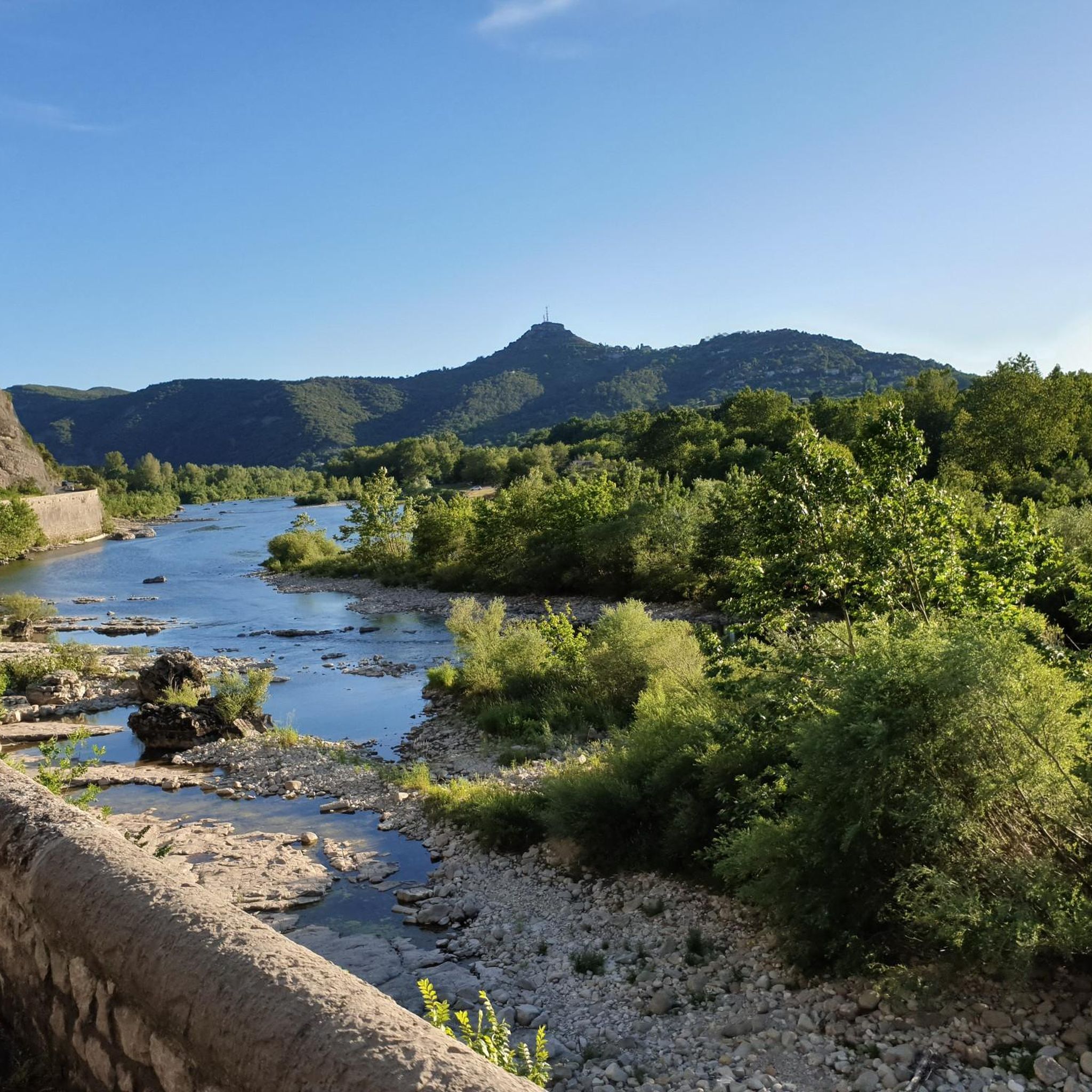
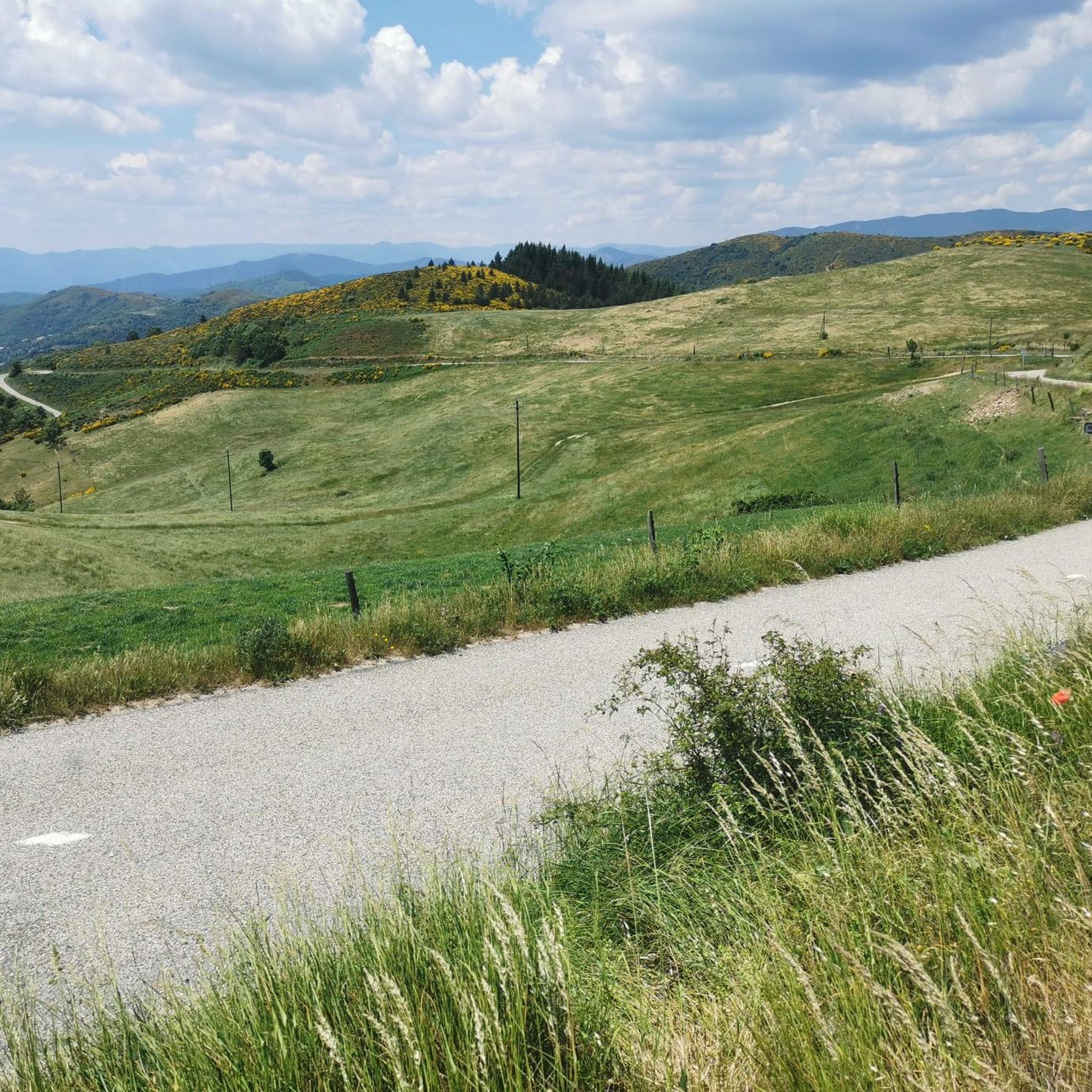
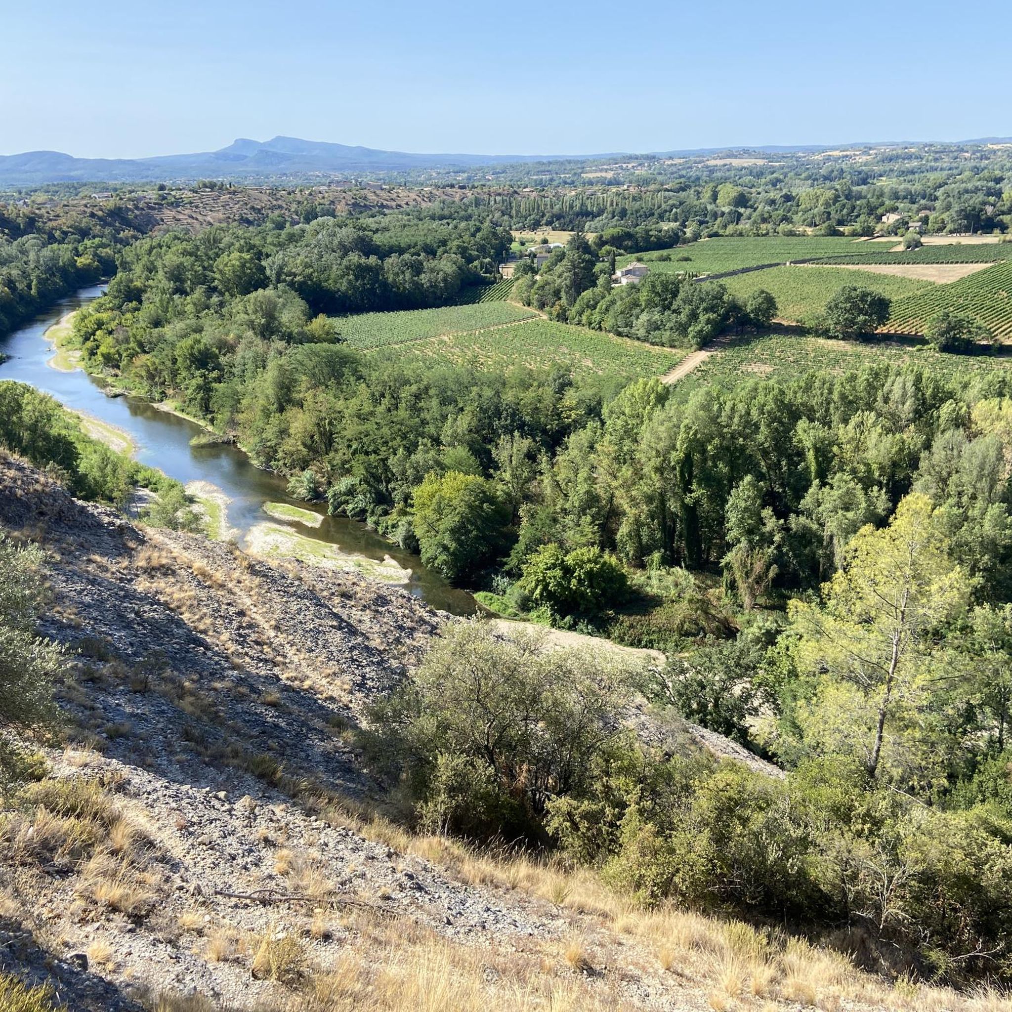
Jogging around Robiac-Rochessadoule offers diverse landscapes at the eastern edge of the Cévennes, with altitudes ranging from 147m to 628m. The region features both riverine and mountainous terrain, including the Cèze river and Rieusset stream. Dedicated greenways, such as the Via Ardèche and the Gadilhe tunnel, provide smooth, car-free surfaces for running. Historical landmarks like the Viaduc du Doulovy and Portes Castle are integrated into many routes, offering scenic views.
Best jogging routes around Robiac-Rochessadoule
- The most popular jogging route…
Last updated: July 2, 2026
7
runners
9.67km
01:14
290m
290m
Moderate run. Good fitness required. Mostly accessible paths. Some sure footedness required.
5.0
(1)
29
runners
Moderate run. Good fitness required. Mostly paved surfaces. Suitable for all skill levels.

Sign up for free
20
runners
10.0km
01:04
80m
80m
Moderate run. Good fitness required. Mostly paved surfaces. Suitable for all skill levels.
15
runners
6.35km
00:40
70m
70m
Moderate run. Good fitness required. Mostly paved surfaces. Suitable for all skill levels.
9
runners
7.92km
00:51
110m
110m
Moderate run. Good fitness required. Mostly paved surfaces. Suitable for all skill levels.
Get access to more routes and recommendations from other explorers.
Sign up for free
Already have an account?
Our route recommendations are based on thousands of hikes, rides, and runs completed by other people on komoot.
Start today with a free account
Your next adventure awaits.
Login or Signup

Tips from the Community

The Via Ardeche railway cycle path is a nice idea in itself, but unfortunately, the perfect surface (asphalt) is only present in the tunnel sections. The rest is rough concrete, gravel, and even worse. It's pleasantly cool in the tunnel.
1
0
The Via Ardeche railway cycle path is a nice idea in itself, but unfortunately, the perfect surface (asphalt) is only present in the tunnel sections. The rest is rough concrete, gravel, and even worse.
0
1
The Via Ardeche railway cycle path is a nice idea in itself, but unfortunately, the perfect surface (asphalt) is only present in the tunnel sections. The rest is rough concrete, gravel, and even worse.
0
0
It would be very rocky and shallow. Not deep enough for swimming.
0
0
The Via Ardeche railway cycle path is a nice idea in itself, but unfortunately, the perfect surface (asphalt) is only present in the tunnel sections. The rest is rough concrete, gravel, and even worse.
0
0

This beautiful greenway provides access to the mountain biking spots in the surrounding forest without having to take the Alès road.
0
0

It's even illuminated. Nevertheless, additional light doesn't hurt.
0
1

With an area of almost 10,000m2, the Château de Montalet is one of the largest castles in the Cévennes. It is the subject of a restoration campaign by volunteers and a medieval festival is organized there every year.
1
0
Frequently Asked Questions
How many running routes are available in Robiac-Rochessadoule?
There are nearly 100 dedicated running routes around Robiac-Rochessadoule, offering a wide variety of terrain and distances for all skill levels. The komoot community has explored these trails nearly 1000 times.
What types of terrain can I expect on jogging trails in Robiac-Rochessadoule?
Jogging routes in Robiac-Rochessadoule feature diverse landscapes, from riverine paths along the Cèze and Rieusset streams to mountainous sections within the Cévennes. You'll find smooth, car-free greenways like the Gadilhe tunnel and the Via Ardèche, as well as more rugged, uneven, and stony paths, especially in areas like Banne or leading to Portes Castle.
Are there any easy or beginner-friendly jogging routes in the area?
Yes, Robiac-Rochessadoule offers 5 easy jogging routes, perfect for beginners or those looking for a relaxed run. The dedicated greenways, such as the Gadilhe tunnel – Greenway from Vogüé to Gagnères loop from Gagnières, provide paved and illuminated surfaces ideal for a smooth experience.
Can I find challenging trail running options around Robiac-Rochessadoule?
Absolutely. For those seeking a more intense workout, there are 12 difficult running routes. Some trails feature significant inclines, such as routes leading to Portes Castle, which start with a challenging climb. Other routes, like those around Banne, can be rugged with uneven and stony paths, including sections in riverbeds.
What historical landmarks or points of interest can I see while running?
Many running routes incorporate historical landmarks. You can jog past the impressive Viaduc du Doulovy, a 19th-century viaduct, or explore the area around Montalet Castle. The Portes Castle – Chateau de Portes loop from Portes offers panoramic views from its strategic position.
Are there any circular running routes in Robiac-Rochessadoule?
Yes, many routes are designed as loops, allowing you to start and finish in the same location. Examples include the Gadilhe tunnel – Greenway from Vogüé to Gagnères loop from Gagnières and the Doulovy Viaduct – Viaduc du Doulovy loop from Gagnières, providing convenient options for your run.
What do other runners enjoy most about the trails in Robiac-Rochessadoule?
The running routes in Robiac-Rochessadoule are highly rated by the komoot community, with an average score of 4.7 stars from over 37 reviews. Runners often praise the diverse landscapes, the well-maintained greenways, and the integration of historical sites that offer scenic views and cultural interest.
Are there any routes that follow riverbanks or offer water views?
Yes, the region is characterized by its riverine terrain. The lower part of Robiac is nestled against the Redaresse mountain by the Cèze river, and Rochessadoule is situated along the Rieusset stream. Many routes will offer views of these waterways, providing a refreshing element to your run.
Can I combine my run with exploring natural features like gorges or mountains?
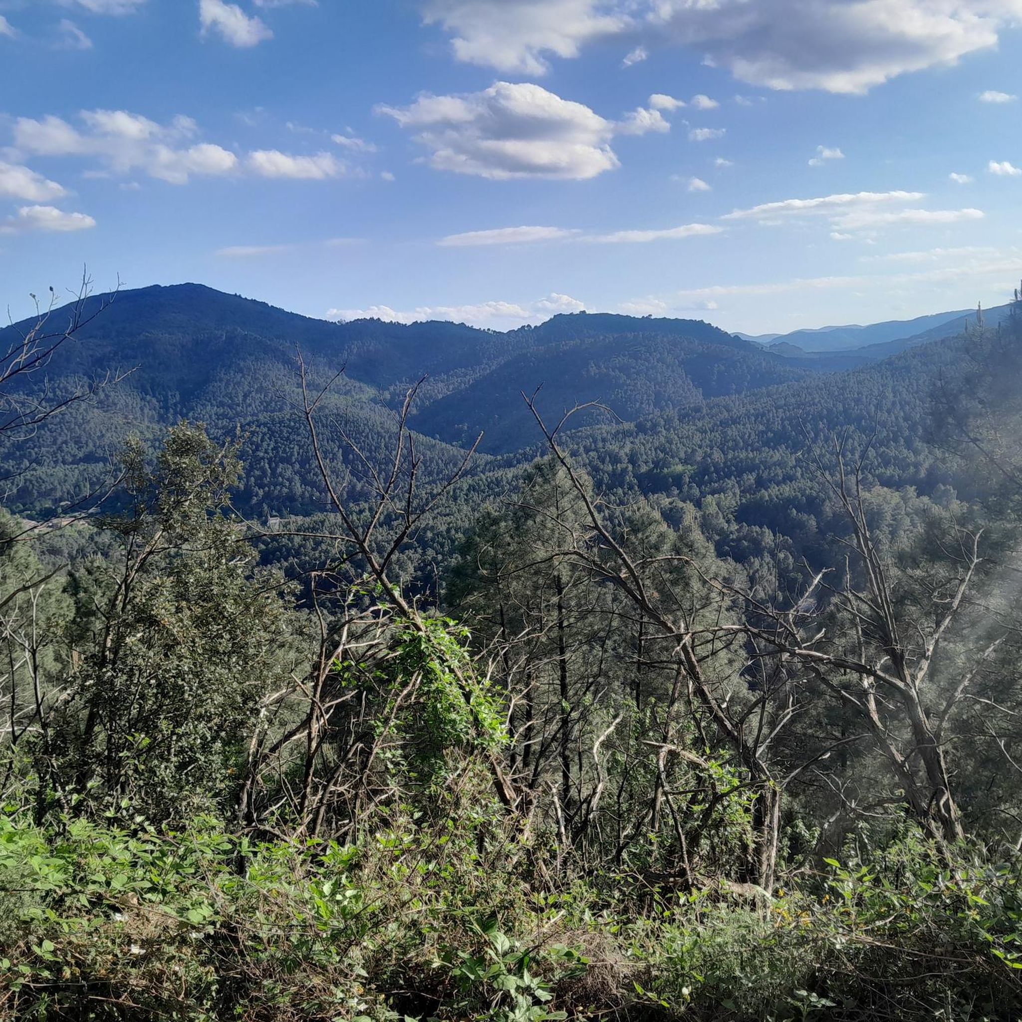
Absolutely. Robiac-Rochessadoule is part of the Cévennes, a region known for its remarkable natural heritage, including river gorges and diverse mountain views. Routes often traverse these varied landscapes, allowing you to experience the natural beauty of the area while running.
Are there any paved, car-free routes suitable for running?
Yes, the area boasts excellent dedicated greenways. The Gadilhe tunnel is part of the larger Via Ardèche, a 24-kilometer route that was formerly a railway line and is now fully asphalted. This provides a smooth, car-free, and often illuminated surface, perfect for a comfortable run.
What is the typical elevation gain on running routes in Robiac-Rochessadoule?
The region's altitudes range from 147m to 628m, meaning routes can vary significantly in elevation gain. While some greenways are relatively flat, many trails, especially those in the mountainous Cévennes sections, offer good workouts with significant inclines and descents, providing options for different fitness levels.
Most popular routes around Robiac-Rochessadoule
Most popular attractions around Robiac-Rochessadoule

Get inspired with the komoot mobile app


Explore more
Browse the best Running Trails & Routes in other regions.
