The best walks and hikes around Calmels-Et-Le-Viala
4.3
(113)
484
hikers
40
hikes
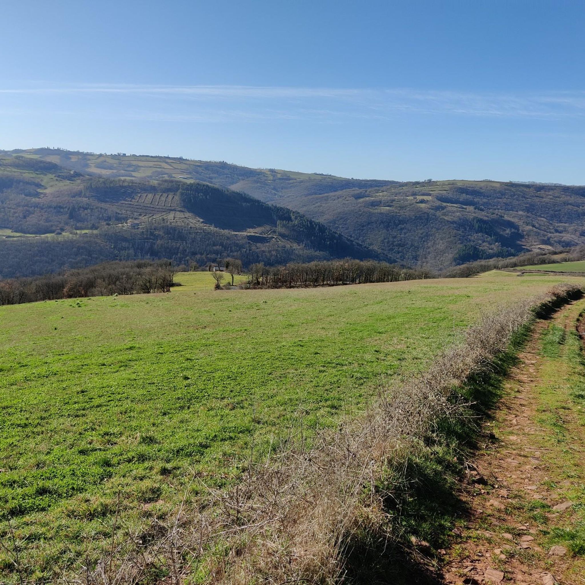
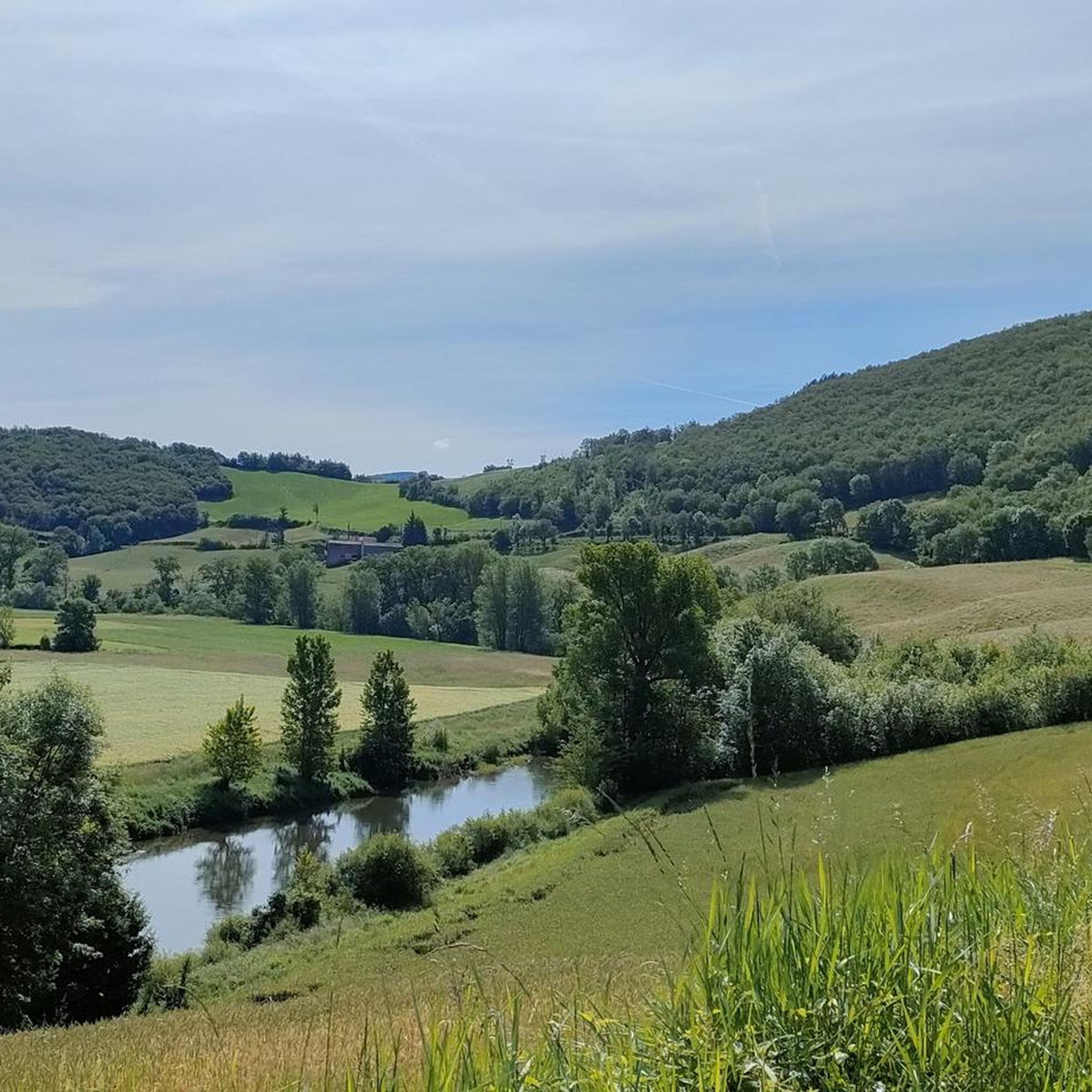
Hiking around Calmels-Et-Le-Viala offers exploration through diverse landscapes within the Parc Naturel Régional des Grands Causses. The region features a distinctive "Rougier" landscape with reddish soil, alongside wooded hills and fertile valleys. The Dourdou River traverses the area, contributing to its scenic beauty. Elevations range between approximately 270 and 570 meters, providing varied terrain for outdoor activities.
Best hiking trails around Calmels-Et-Le-Viala
- The most popular hiking route is Circuit of the Tombs via Saint-Apolit, a 4.4 miles (7.1 km)…
Last updated: July 8, 2026
3.0
(1)
10
hikers
7.07km
02:11
260m
260m
Moderate hike. Good fitness required. Easily-accessible paths. Suitable for all skill levels.
5.0
(4)
10
hikers
15.3km
04:25
380m
380m
Moderate hike. Good fitness required. Easily-accessible paths. Suitable for all skill levels.

Sign up for free
4.0
(8)
20
hikers
17.4km
05:06
470m
470m
Hard hike. Very good fitness required. Easily-accessible paths. Suitable for all skill levels.
5.0
(4)
9
hikers
20.5km
06:03
590m
590m
Hard hike. Very good fitness required. Easily-accessible paths. Suitable for all skill levels.
4.5
(2)
9
hikers
12.2km
03:28
270m
270m
Moderate hike. Good fitness required. Easily-accessible paths. Suitable for all skill levels.
Get access to more routes and recommendations from other explorers.
Sign up for free
Already have an account?
Our route recommendations are based on thousands of hikes, rides, and runs completed by other people on komoot.
Start today with a free account
Your next adventure awaits.
Login or Signup


Tips from the Community

Former fortified residence of the bishops of Vabres, the castle of Saint-Izaire bears witness to the religious and political role that the village played for several centuries. Its towers and ramparts tell of a time when bishops were also lords capable of defending their lands.
0
0
The church of Saint-Izaire recalls the religious importance of the village over the centuries. The current building, consecrated in 1891, replaced the old medieval church which was integrated into the village fortifications. Today, along with the neighboring episcopal castle, it bears witness to the major role that Saint-Izaire played in the religious history of Rouergue.
0
0
A favorite from this bike ride: Brousse-le-Château. A perfectly preserved medieval village, nestled on the banks of the Tarn. Between heritage, tranquility, and beautiful panoramas, it's the kind of place that reminds us why we love to travel by bike.
0
0

A magnificent village, medieval style, it's definitely worth the detour, a very nice discovery, I'll go back!
0
0

Pretty little perched village which is part of the association Les Plus Beaux Villages de France. Since 1960 the castle and the houses of the village have been restored.
0
0

Magnificent village classified among "The Most Beautiful Villages of France". The site, at the confluence of the Tarn and the Alrance, has been occupied since the Neolithic (presence of a statue-menhir) and the geology of the place has often led to the creation of a fortified village with a castle dating from the IXth century.
0
0
Group of tombs dating from the High Middle Ages (5th and 6th centuries) located to the west of the plateau overlooking Vabres l'Abbaye (village itself important since 863 and the foundation of a Benedictine monastery).
0
0
Frequently Asked Questions
What kind of landscapes can I expect to see while hiking in Calmels-Et-Le-Viala?
Calmels-Et-Le-Viala is characterized by its unique "Rougier" landscape, featuring distinctive reddish soil that is particularly striking at sunset. You'll also encounter wooded hills, fertile valleys, and the scenic Dourdou River, a tributary of the Tarn, which adds to the area's natural beauty.
Are there any easy or family-friendly hiking options in the area?
Yes, the region offers a variety of trails suitable for different fitness levels. For a gentle and historically rich walk, consider the 7.6 km route known as "Sur les chemins des femmes de la terre" (On the paths of the women of the land), which highlights the role of peasant women in shaping the local landscape. Overall, there are 9 easy routes available.
What are some of the more challenging hikes available for experienced hikers?
For those seeking a more significant trek, the area provides several challenging options. One such route is the Bridge over the Tarn – Church of Saint-Izaire loop from Saint-Izaire, a moderate 15.3 km path. Another challenging option is the Church of Saint-Izaire loop from Broquiès, which spans 20.4 km with significant elevation changes. In total, there are 5 difficult routes to explore.
Are there any circular hiking routes in Calmels-Et-Le-Viala?
Yes, many of the trails in Calmels-Et-Le-Viala are circular, allowing you to start and end at the same point. A popular moderate circular route is the Circuit of the Tombs via Saint-Apolit, which is 7.1 km long and takes about 2 hours 10 minutes to complete. Another well-liked loop is the Chapel of Les Costes-Gozon loop from Espace du Sabel, covering 12.2 km.
What historical or cultural points of interest can I discover while hiking?
The region is rich in history. You can find traces of Neolithic inhabitants, including statues-menhirs, and evidence of ancient Gallo-Roman copper mines. Discreet heritage sites like the 12th-century Chapel of Calmels and the Château de Calmels, with its Gothic and Renaissance features, can also be discovered along various routes.
What do other hikers say about the trails in Calmels-Et-Le-Viala?
The hiking routes in Calmels-Et-Le-Viala are highly rated by the komoot community, with an average score of 4.3 stars from over 100 reviews. Hikers often praise the varied terrain, the picturesque "Rougier" landscape, and the opportunities to explore both natural beauty and historical sites.
Are there any notable landmarks or attractions near the hiking trails?
Yes, there are several interesting landmarks nearby. You could visit Brousse-le-Château, a historic village with a medieval castle, or the Verdalle Bridge. The area also features the Roc Saint-Jean lookout, offering panoramic views.
What is the best time of year to go hiking in Calmels-Et-Le-Viala?
Given its Mediterranean climate, Calmels-Et-Le-Viala is generally pleasant for hiking for much of the year. Spring and autumn offer mild temperatures and beautiful scenery, especially when the "Rougier" landscape's red hues are most vibrant. Summer can be warm, so early morning or late afternoon hikes are recommended during that season.
How many hiking trails are there in Calmels-Et-Le-Viala?
There are over 35 hiking routes available around Calmels-Et-Le-Viala, offering a wide range of options for different skill levels and preferences. These include 9 easy routes, 23 moderate routes, and 5 difficult routes.
Can I combine hiking with other outdoor activities in the region?
Absolutely! Beyond hiking, the area is well-suited for other outdoor pursuits. You can enjoy cycling, mountain biking, and running, with a dedicated "voie verte" (greenway) available. The broader Aveyron department also offers opportunities for activities such as fishing, horse riding, caving, and climbing.
What kind of elevation changes can I expect on the trails?
The altitude in Calmels-Et-Le-Viala ranges between approximately 270 and 570 meters. This means you can expect varied terrain with moderate elevation gains and descents on many trails. For example, the Brousse-le-Château loop from Broquiès involves over 460 meters of ascent and descent.
Most popular routes around Calmels-Et-Le-Viala
Most popular attractions around Calmels-Et-Le-Viala

Get inspired with the komoot mobile app


Explore more
Browse the best Hikes in other regions.
