The best mountain hikes around Saint-Jean-D'Arvey
4.2
(18)
132
hikers
18
hikes
Mountaineering around Saint-Jean-D'Arvey offers diverse terrain within the Massif des Bauges Regional Natural Park, a UNESCO Global Geopark. The region is characterized by imposing features such as the cliffs of Peney and Nivolet, extensive forest areas, and the Doria Waterfalls. River valleys like those of the Leysse and Doria provide access points to higher elevations, contributing to a varied topography suitable for mountaineering.
Best mountaineering routes around Saint-Jean-D'Arvey
- The most popular mountaineering route is Mount Kamuniak – Nivolet Cross loop…
Last updated: May 20, 2026
4.0
(2)
20
hikers
6.25km
01:50
170m
170m
Easy mountaineering route. Great for any fitness level. Easily-accessible paths. Suitable for all skill levels.
5.0
(5)
15
hikers
3.79km
01:56
290m
290m
Hard mountaineering route. Great for any fitness level. Sure-footedness, sturdy shoes and alpine experience required.

Sign up for free
17
hikers
Hard mountaineering route. Good fitness required. Sure-footedness, sturdy shoes and alpine experience required.
5.0
(1)
5
hikers
9.32km
02:51
290m
290m
Hard mountaineering route. Good fitness required. Sure-footedness, sturdy shoes and alpine experience required.
4.8
(4)
7
hikers
8.30km
02:28
250m
250m
Moderate mountaineering route. Good fitness required. Easily-accessible paths. Suitable for all skill levels.
Get access to more routes and recommendations from other explorers.
Sign up for free
Already have an account?
Our route recommendations are based on thousands of hikes, rides, and runs completed by other people on komoot.
Start today with a free account
Your next adventure awaits.
Login or Signup

Tips from the Community

Avoid taking this path, it is dangerous, very steep and slippery with pebbles.
0
0

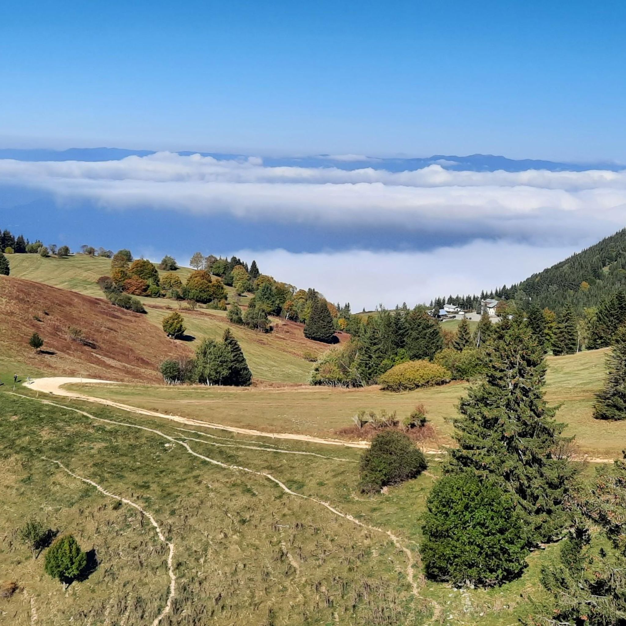
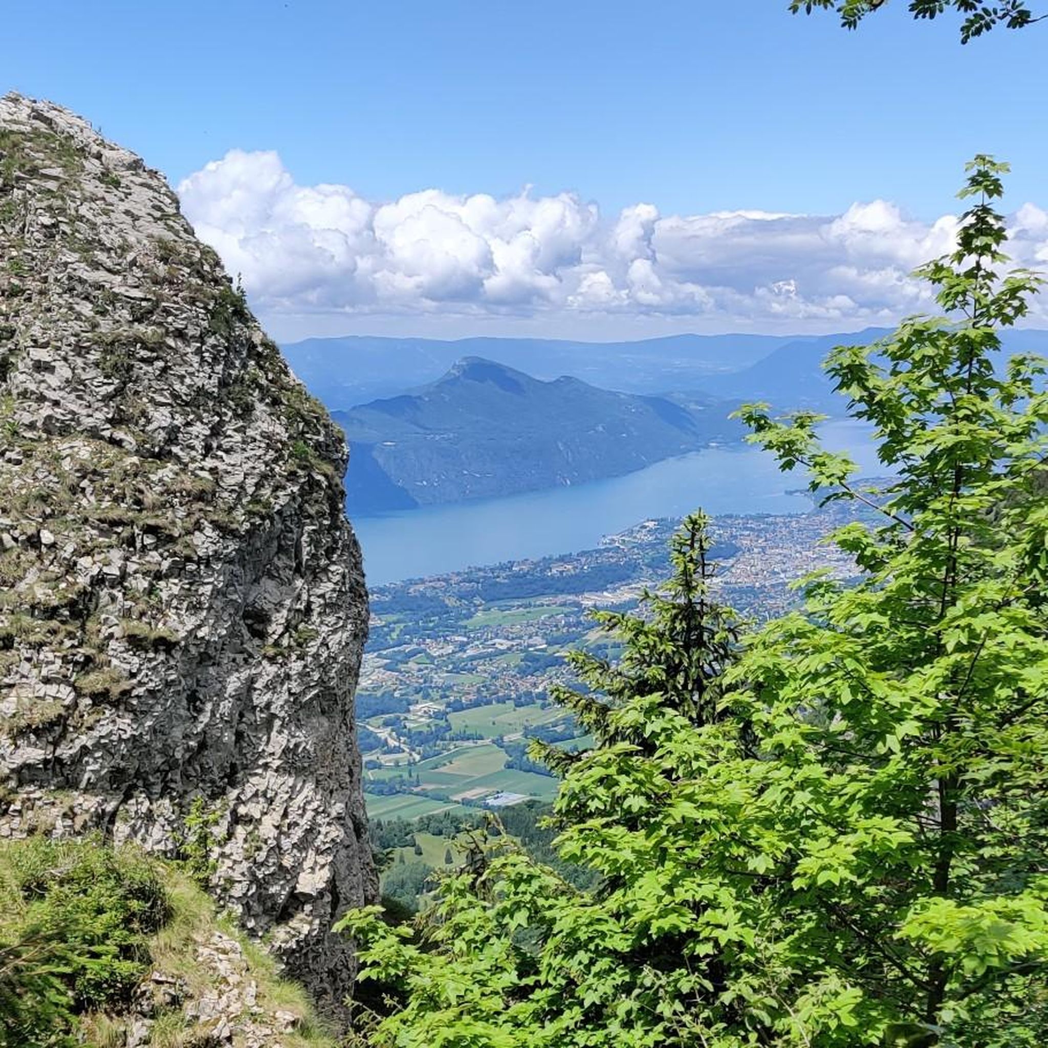
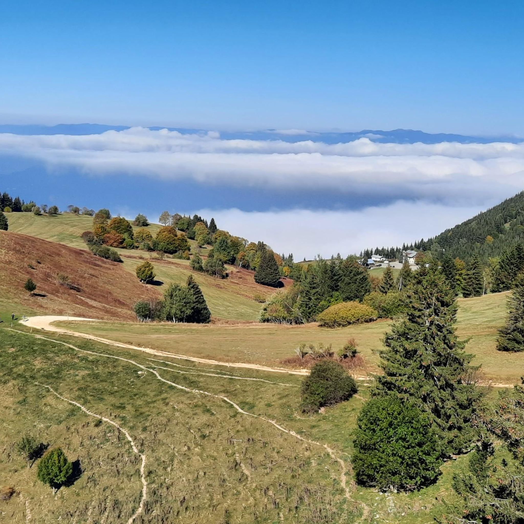
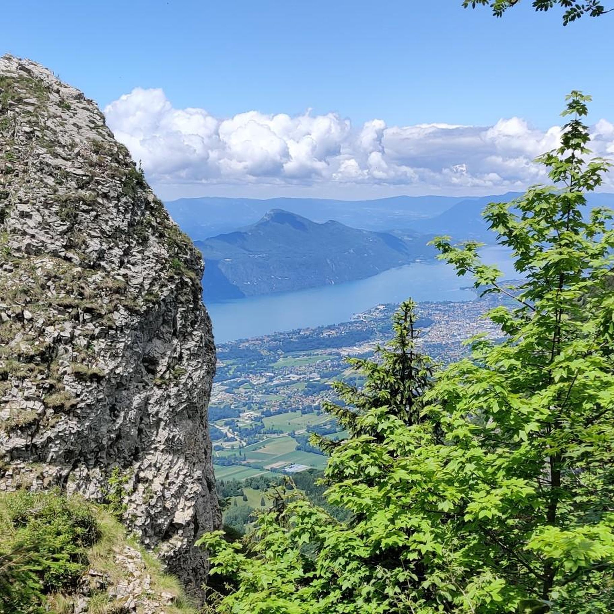
Magnificent view of Chambéry and Lake Bourget A lovely picnic area
0
0

Don't forget that even if it's in the mid-mountains, you need to be equipped for the weather, good shoes, and good physical condition.
0
0

The via ferrata of the Carret cave is rated extremely difficult (ED), it is worth the detour for its views, its apparatus and its overhangs. But beware, beginners should refrain!
0
0

Be careful, this is a very steep passage, it is almost like climbing for some sections. If the ground is wet, it is very slippery and dangerous.
0
0


The ascent is worth it: fantastic panorama and also an opportunity for a short rest with the opportunity to sit in a sociable group with the Lunerus😊 (it is somewhat reminiscent of "Number 5").
0
1
The beautiful and varied hiking trail to the summit cross alone is a pleasure, and once you reach the summit, you have a breathtaking panorama in all directions (Alps, Lac du Bourget, Chamberry, Aix-les-Bains, mountains and valleys). Highly recommended 😀👍!
0
1
Frequently Asked Questions
How many mountaineering routes are available around Saint-Jean-D'Arvey?
There are 19 diverse mountaineering routes around Saint-Jean-D'Arvey, catering to various skill levels within the Massif des Bauges Regional Natural Park. These include easy ascents, moderate trails, and challenging via ferrata routes.
What do other mountaineers say about the routes in Saint-Jean-D'Arvey?
The routes in Saint-Jean-D'Arvey are highly rated by the komoot community, with an average score of 4.2 stars from over 18 reviews. More than 140 mountaineers have used komoot to explore the varied terrain, often praising the dramatic landscapes and diverse challenges.
Are there any easy mountaineering routes suitable for beginners?
Yes, there is one easy mountaineering route available. A great option for beginners is the Mount Kamuniak – Nivolet Cross loop from Chambéry, which is 6.3 km long and offers scenic views towards the Nivolet Cross.
Can I find challenging routes for experienced mountaineers?
Absolutely. There are 12 difficult mountaineering routes in the area. For a significant challenge, consider the Via ferrata ptchi – Croix du Nivolet loop from Grande Cascade de la Doria, a demanding 9.9 km route with over 1000 meters of elevation gain.
Are there routes that feature waterfalls?
Yes, the Doria Waterfalls are a significant natural attraction. You can explore routes that lead through this picturesque area, such as the Via ferrata La Grotte à Carret – Via ferrata ptchi loop from Grande Cascade de la Doria, which takes you near the Grande Cascade de la Doria.
What natural landmarks can I see while mountaineering in the area?
The region is rich in natural beauty. You can encounter the imposing cliffs of Peney and Nivolet, extensive forest areas, and the Doria Waterfalls. Nearby, you can also explore stunning mountain passes like Marocaz Pass or enjoy views of Lake Bourget.
Are there any circular mountaineering routes?
Yes, many routes are designed as loops, allowing you to start and end at the same point. An example is the Mount Kamuniak – Nivolet Cross loop from Chambéry, which offers a complete circuit.
Can I bring my dog on the mountaineering trails?
While many trails in the Massif des Bauges Regional Natural Park are dog-friendly, it's always best to check specific regulations for each route or protected area, especially regarding leash requirements. Some areas may have restrictions to protect wildlife.
Are there family-friendly mountaineering options?
For families looking for a less strenuous experience, the region offers diverse terrain. The easy routes, like the Mount Kamuniak – Nivolet Cross loop, are generally suitable, but always consider the fitness level and experience of all family members.
Where can I find parking for mountaineering routes?
Many mountaineering routes start from villages or designated trailheads, such as those beginning from Chambéry or Les Déserts. Parking is typically available in these starting locations, though it's advisable to check local signage for specific parking regulations and availability.
What is the best season for mountaineering in Saint-Jean-D'Arvey?
The best season for mountaineering in Saint-Jean-D'Arvey generally spans from late spring to early autumn (May to October), when the weather is more stable and trails are clear of snow. Summer offers sunny exposure and longer daylight hours, while spring and autumn provide cooler temperatures and vibrant foliage.
Are there options for longer, multi-day mountaineering trips?
Yes, for those seeking multi-day expeditions, the GR96 (Grande Randonnée) trail runs through the Massif des Bauges, offering varied and demanding trekking routes. The 'GR de pays tour des Bauges' also traverses the commune, providing further options for extended adventures.
What kind of terrain can I expect on these routes?
Mountaineering around Saint-Jean-D'Arvey offers highly varied terrain. You can expect challenging cliffs, dramatic waterfalls, dense woodlands, and river valleys, all within the stunning Massif des Bauges Regional Natural Park. The routes range from gentle forest paths to rugged, exposed ascents.
Most popular routes around Saint-Jean-D'Arvey
Most popular attractions around Saint-Jean-D'Arvey

Get inspired with the komoot mobile app


Explore more
Browse the best Mountain Hikes & Routes in other regions.
