The best walks and hikes around Tignieu-Jameyzieu
4.6
(519)
2,909
hikers
254
hikes
Hiking around Tignieu-Jameyzieu offers access to varied landscapes within the Isère department of France. The area features significant wetlands like the Marais de la Léchère, alongside routes that follow the Bourbre river and pass by lakes such as Lac de Fréminville. Trails traverse a mix of woods and open fields, providing diverse environments for outdoor exploration.
Best hiking trails around Tignieu-Jameyzieu
- The most popular hiking route is Bridge over the Bourbre loop from Tignieu-Jameyzieu, a 5.9 miles (9.5 km)…
Last updated: July 9, 2026
4.0
(1)
11
hikers
9.50km
02:25
20m
20m
Moderate hike. Good fitness required. Easily-accessible paths. Suitable for all skill levels.
4.5
(2)
6
hikers
7.83km
02:05
80m
80m
Moderate hike. Good fitness required. Easily-accessible paths. Suitable for all skill levels.

Sign up for free
4.0
(1)
6
hikers
Moderate hike. Good fitness required. Easily-accessible paths. Suitable for all skill levels.
3
hikers
7.36km
01:56
60m
60m
Easy hike. Great for any fitness level. Easily-accessible paths. Suitable for all skill levels.
6
hikers
Moderate hike. Good fitness required. Easily-accessible paths. Suitable for all skill levels.
Get access to more routes and recommendations from other explorers.
Sign up for free
Already have an account?
Our route recommendations are based on thousands of hikes, rides, and runs completed by other people on komoot.
Start today with a free account
Your next adventure awaits.
Login or Signup
Tips from the Community

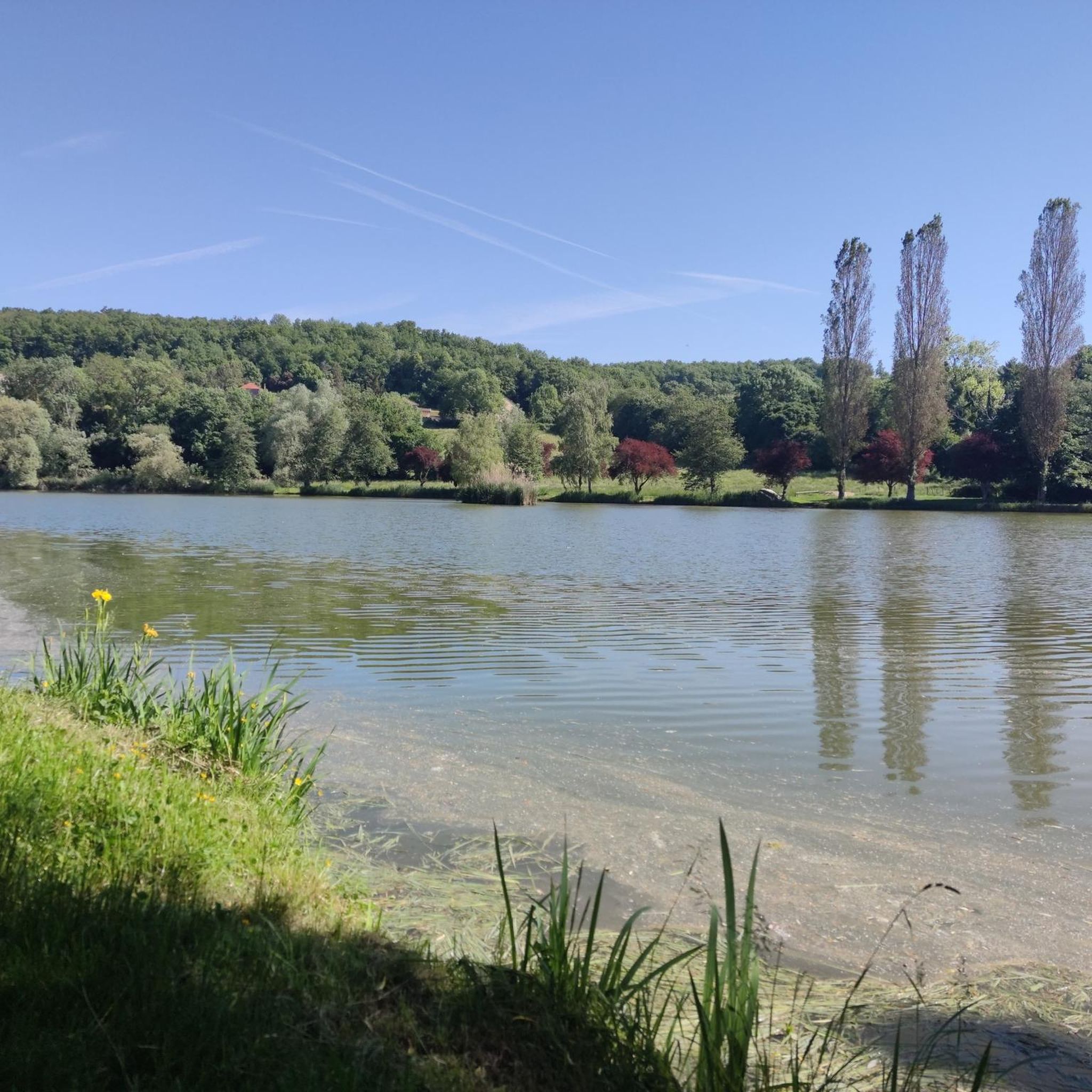
With its 4.5 hectares of surface area, this enchanting lake is surrounded by breathtaking green landscapes. Renowned for its peaceful atmosphere and rich biodiversity, it is the ideal place to escape the hustle and bustle of daily life and reconnect with nature.
0
0

Discover here a pretty little pond with a beautiful diversity of dragonflies.
0
0

The water level this year has been sufficient, which makes the lake more pleasant to look at 😉
0
0
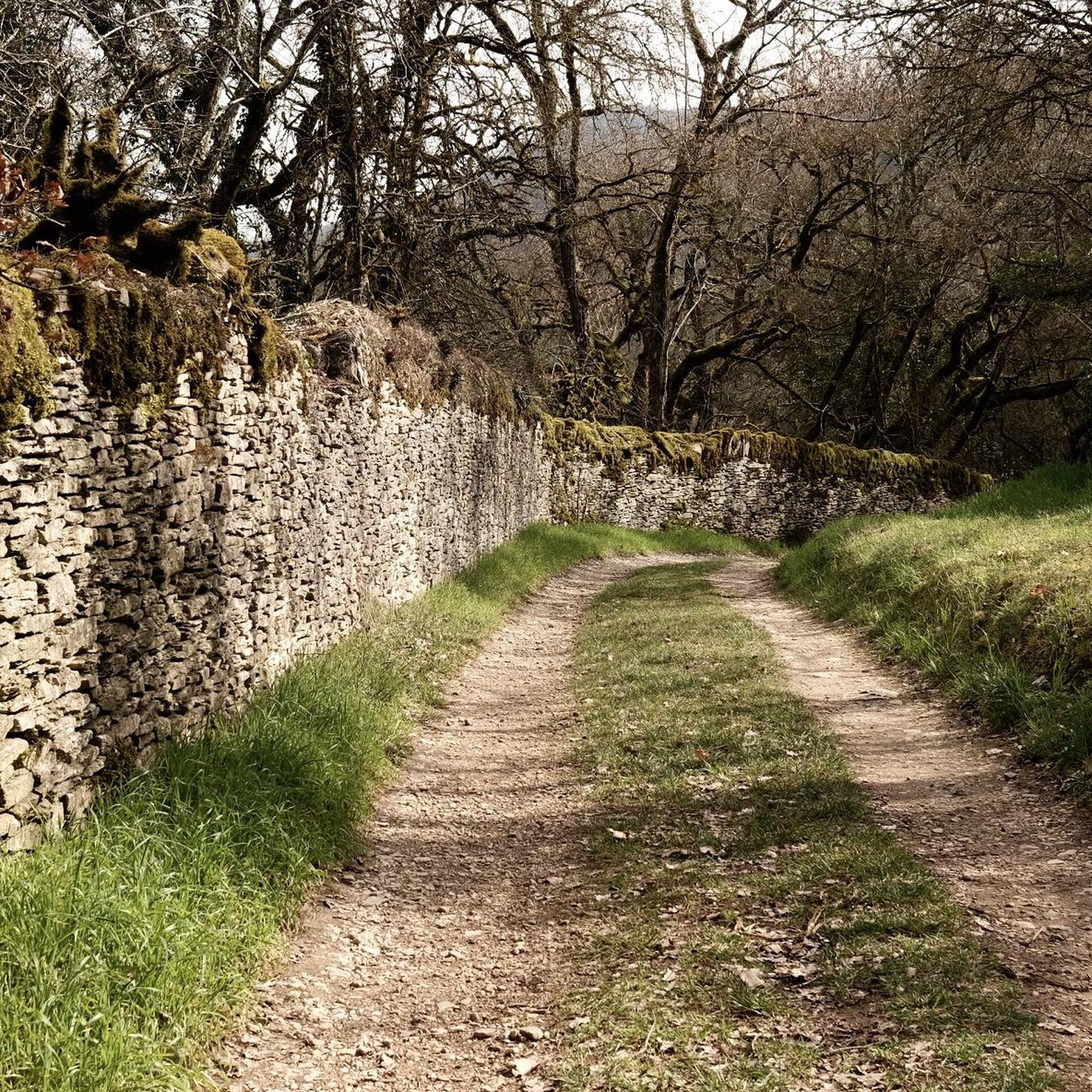
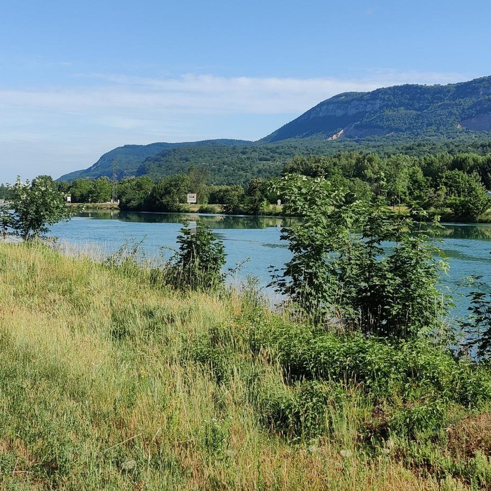
Nice walk as soon as you cross the first small bridge. The path towards Jameyzieu is pleasant and was passable (because it is well maintained). After crossing the departmental road (crossing the bridge) the path is a little less good but it is still possible to continue the walk to the next small bridge. Return on the other bank to Jameyzieu. But, there, you have to return on the same bank as on the way there. Apparently, the municipality or municipalities in charge of maintaining the path on the opposite bank do not take care of it. I had to turn around to take the same bank as on the way there. Too bad, but a nice walk when it's hot 😉
0
0

Although first mentioned in 1540, the Cingle fortified house was undoubtedly built in the second half of the 14th century by the Pèlerin family. Originally composed of a main tower and a wing back to the west, it perhaps originally included a curtain wall. During the 15th century, the south wing was extended towards the west, a main building comprising a lower room and an upper room was attached to the north of the main tower, while a turret occupied on the first floor by an oratory and on the second by a dovecote is built to the east, projecting. A wing including the kitchen on the ground floor is also built at right angles to the north of the courtyard. The farm itself retains some architectural elements dating from the 16th century. Source: Ministry of Culture
1
0


Listed as historical monuments: https://www.pop.culture.gouv.fr/notice/merimee/PA00117311
1
0

A monument "Monument aux Morts" in Wegessrand.
2
0
Frequently Asked Questions
How many hiking trails are available around Tignieu-Jameyzieu?
There are over 230 hiking routes around Tignieu-Jameyzieu, offering a wide variety of options for different skill levels and preferences. This includes easy strolls, moderate excursions, and a few more challenging paths.
Are there easy hiking options suitable for families or beginners?
Yes, Tignieu-Jameyzieu offers many easy routes perfect for families and beginners. For example, the Bridge over the Bourbre loop from Mianges is an easy 7.4 km trail. The region also features gentle walks like the 'Autour de l'Étang de Moras', which is an easy stroll with panoramic views of the Alps on clear days.
Can I bring my dog on the hiking trails in Tignieu-Jameyzieu?
Generally, dogs are welcome on many hiking trails around Tignieu-Jameyzieu. However, it's always recommended to keep them on a leash, especially in sensitive natural areas like the Marais de la Léchère, and to check for any specific local regulations or signage along your chosen route.
What kind of natural landscapes can I expect to see while hiking here?
The hiking trails around Tignieu-Jameyzieu traverse diverse landscapes. You'll find significant wetlands, such as the Marais de la Léchère, river valleys along the Bourbre, and tranquil lake circuits like those around Lac de Fréminville and Lac de Moras. Routes often wind through a mix of woods and open fields, providing varied scenery.
Are there any circular hiking routes in the area?
Yes, many of the trails around Tignieu-Jameyzieu are circular, allowing you to start and end at the same point. A popular option is the Lac de Fréminville loop from Chavagneux, which is a moderate 7.8 km trail offering varied terrain around the lake.
What are some notable attractions or landmarks near the hiking trails?
Beyond the natural beauty, the broader area offers historical and cultural points of interest. You can explore medieval towns like Crémieu, or visit castles such as Château de Fallavier and Château de Bienassis. These can be integrated into longer excursions for a blend of nature and heritage.
Is there public transport access to the hiking trailheads?
While specific public transport routes directly to every trailhead may vary, Tignieu-Jameyzieu is a commune within the Isère department. It's advisable to check local bus schedules or regional transport options for connections to the starting points of your chosen hikes. Parking is generally available at many trailheads for those traveling by car.
What is the best time of year for hiking in Tignieu-Jameyzieu?
The region is enjoyable for hiking across multiple seasons. Spring and autumn offer pleasant temperatures and vibrant natural colors. Summer is also suitable, though some routes might be more exposed to the sun. Winter hiking is possible, but conditions can vary, especially in more elevated or shaded areas.
Are there any trails that feature water elements like rivers or lakes?
Absolutely. The region is characterized by its water features. You can hike along the Bourbre river, for instance, on the Bridge over the Bourbre loop from Tignieu-Jameyzieu. There are also scenic routes around lakes such as Lac de Fréminville and Lac de Moras, and the 'Verna and its seven fountains loop' explores natural water sources.
What do other hikers say about the trails in Tignieu-Jameyzieu?
The trails in Tignieu-Jameyzieu are highly rated by the komoot community, with an average score of 4.5 stars from over 400 reviews. Hikers often praise the varied terrain, the tranquility of the natural spaces, and the well-maintained paths that cater to different ability levels.
Are there any longer or more challenging hikes available?
While many routes are easy to moderate, there are options for longer excursions. The Verna and its seven fountains loop from Saint-Romain-de-Jalionas is a moderate 17.7 km path that explores the local countryside, offering a more extended experience for those looking for a longer day out.
Can I find routes that offer panoramic views?
Yes, on clear days, some routes provide excellent panoramic views. For example, when completing a circuit around Lac de Moras, hikers can enjoy superb views of the Alps from the Moras cemetery, offering a rewarding vista during your walk.
Most popular routes around Tignieu-Jameyzieu
Most popular attractions around Tignieu-Jameyzieu

Get inspired with the komoot mobile app


Explore more
Browse the best Hikes in other regions.
