The best walks and hikes around Pelonne
4.4
(621)
3,072
hikers
111
hikes
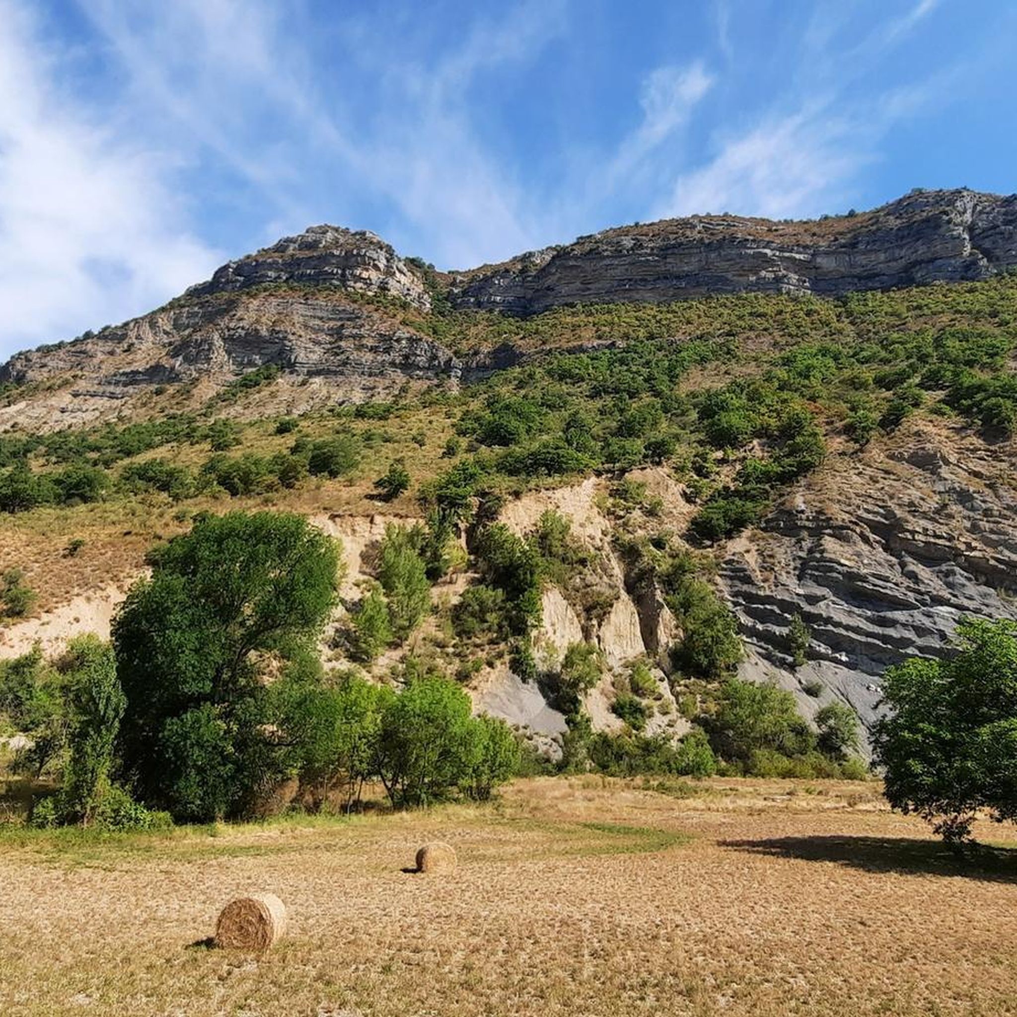
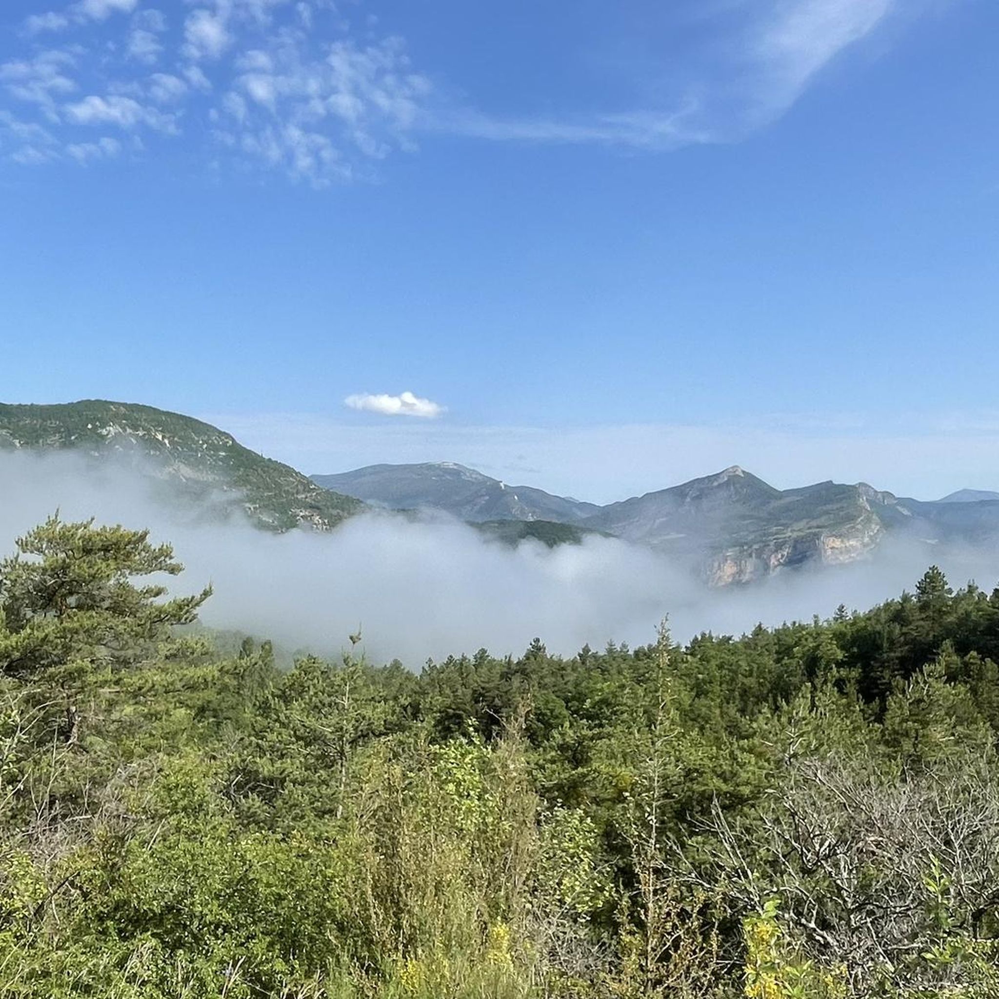
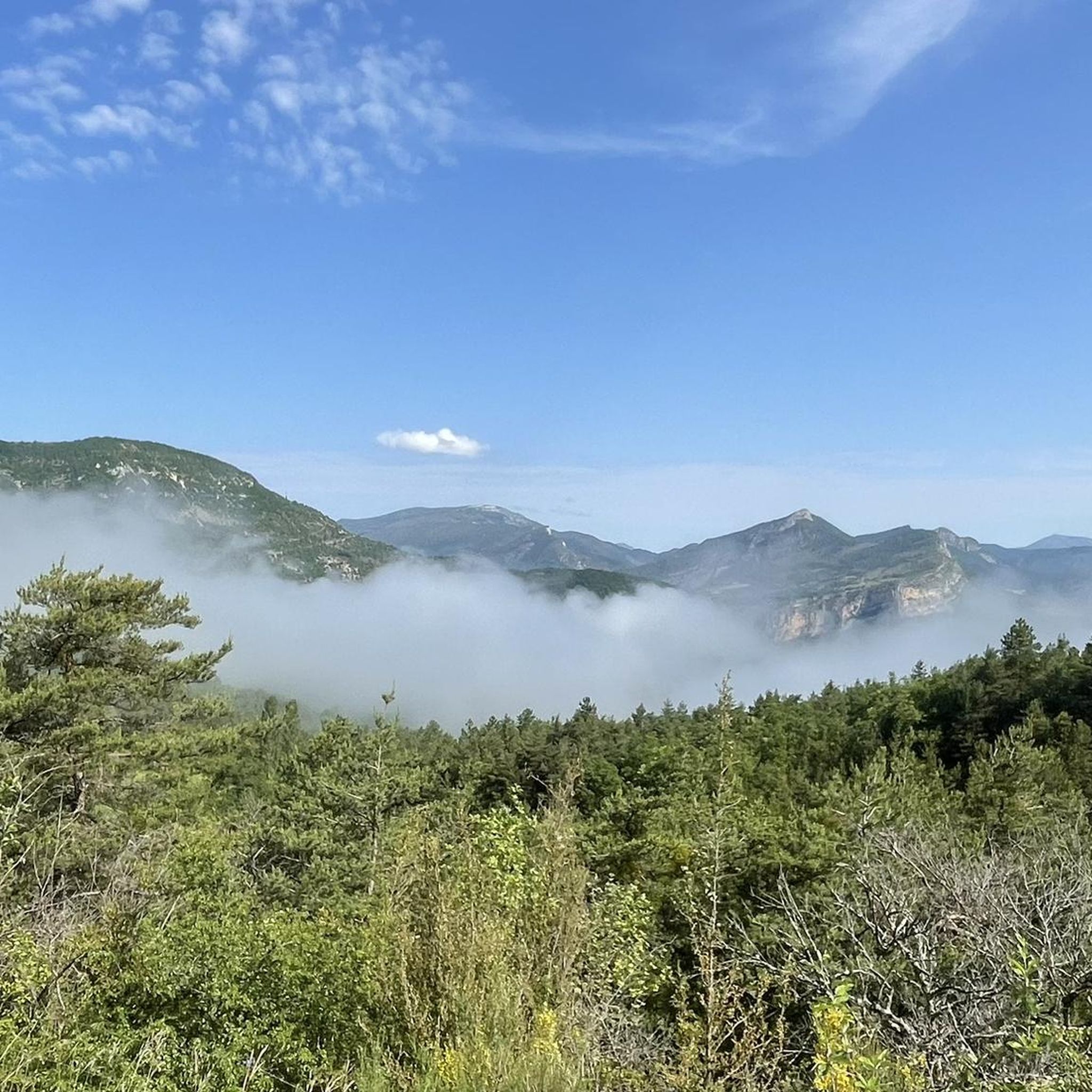
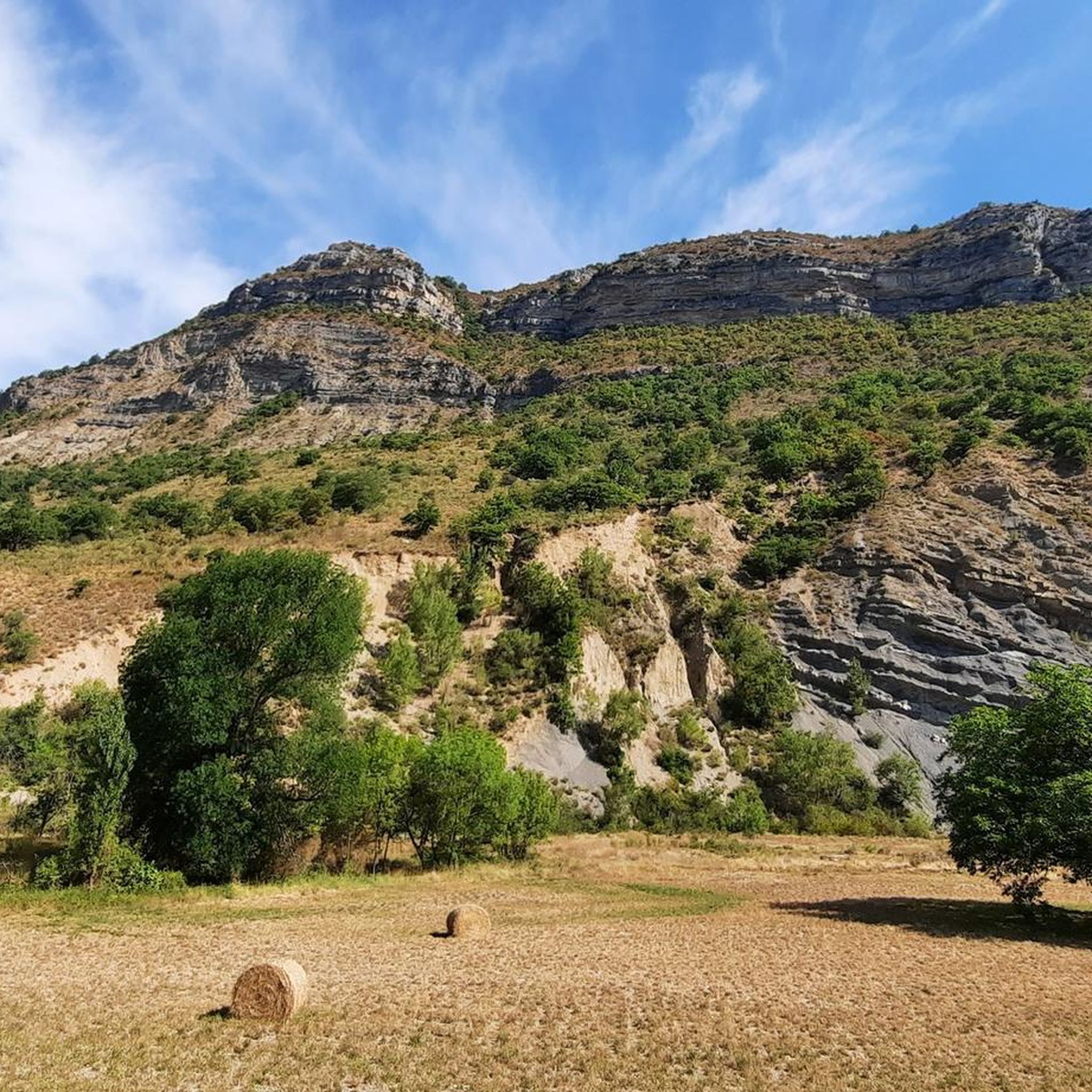
Hiking around Pelonne offers a variety of trails through diverse terrain. The region features routes with significant elevation changes, traversing both lower valleys and higher mountain areas. Hikers can expect to encounter a mix of landscapes, from forested paths to more open, elevated sections. The area provides options ranging from shorter, less strenuous walks to challenging, long-distance expeditions.
Best hiking trails around Pelonne
- The most popular hiking route is Rémuzat – Les Marzellières loop from Rémuzat, a 9.6 miles…
Last updated: August 18, 2026
5.0
(6)
58
hikers
15.5km
05:36
930m
930m
Hard hike. Very good fitness required. Easily-accessible paths. Suitable for all skill levels.
4.5
(4)
14
hikers
13.3km
04:14
550m
550m
Moderate hike. Good fitness required. Easily-accessible paths. Suitable for all skill levels.

Sign up for free
5.0
(2)
8
hikers
5.46km
01:37
170m
170m
Easy hike. Great for any fitness level. Easily-accessible paths. Suitable for all skill levels.
4
hikers
25.0km
08:55
1,440m
1,440m
Hard hike. Very good fitness required. Easily-accessible paths. Suitable for all skill levels.
5.0
(1)
10
hikers
11.0km
03:27
440m
440m
Moderate hike. Good fitness required. Easily-accessible paths. Suitable for all skill levels.
Get access to more routes and recommendations from other explorers.
Sign up for free
Already have an account?
Our route recommendations are based on thousands of hikes, rides, and runs completed by other people on komoot.
Start today with a free account
Your next adventure awaits.
Login or Signup

Tips from the Community

Place of worship maintained in excellent condition.
6
0
The Col de Soubeyrand (987–994 m, depending on the map source) is located in the Drôme department, in the Auvergne-Rhône-Alpes region, within the Baronnies provençales massif. It connects the Eygues valley with the Ennuye valley, between the villages of Rémuzat and Sainte-Jalle.
9
0

splendid view over the surroundings and particularly over the Ennuyé valley
0
0

bring good shoes and a windbreaker at the top
0
0

Exceptional 360° panorama.
0
0
Magnificent panorama. Once at the top, it's not very difficult and very pleasant.
0
0

Small open cabin where you can make a fire. Bench and table available
0
0

..a beautiful mountain that guarantees a "solitary climb" by bike, especially from Remuzat on weekdays! ..the beautiful view is free!
1
0
Frequently Asked Questions
What kind of terrain can I expect on hiking trails around Pelonne?
Hiking around Pelonne offers a diverse range of terrain, from lower valleys to higher mountain areas. You'll find a mix of forested paths and more open, elevated sections, often featuring significant elevation changes and challenging mountain ascents. The region provides options for various fitness levels, from easier walks to difficult long-distance routes.
How many hiking trails are available in the Pelonne region?
The Pelonne region boasts over 115 hiking routes. These trails vary in difficulty, with approximately 23 easy routes, 76 moderate routes, and 16 difficult routes, ensuring options for every hiker.
Are there any easy hiking trails suitable for beginners or shorter outings?
Yes, Pelonne offers several easy trails. A popular choice is the Hiking loop from Bellecombe-Tarendol, which is about 5.5 km long with moderate elevation, perfect for a shorter and more accessible experience. Another easy option is the Col de Soubeyrand (994 m) – Col de Soubeyrand (994 m) loop from Col de Soubeyrand, covering about 5.5 km.
What are some notable natural features or viewpoints to see while hiking in Pelonne?
The Pelonne area is rich in natural beauty and offers several interesting sights. You can visit the Rocher du Caire for stunning viewpoints, or explore the impressive Gorges de l'Arayon and Gorges de l’Eygues. For those seeking a summit experience, Montagne de Raton is a prominent feature.
What is the best time of year to go hiking in Pelonne?
The period between April and October is generally recommended for hiking in regions with similar mountainous characteristics to Pelonne. While June to August can be very warm, necessitating early starts and sun protection, the spring and autumn months offer pleasant temperatures and beautiful scenery for exploring the trails.
Are there any challenging long-distance hikes in Pelonne?
Absolutely. For experienced hikers looking for a challenge, the Rémuzat – Montagne de Raton loop from Rémuzat is a demanding 25.4 km trail through varied mountain terrain, typically taking around 9 hours to complete. Another difficult option is the Rémuzat – Les Marzellières loop from Rémuzat, a 15.4 km route with substantial elevation gain.
What do other hikers say about the trails in Pelonne?
The hiking routes in Pelonne are highly regarded by the komoot community, holding an average rating of 4.4 stars from over 500 reviews. Hikers often praise the diverse terrain, challenging mountain ascents, and the variety of options available for different skill levels.
Are there any circular hiking routes available in Pelonne?
Yes, many of the trails in Pelonne are designed as loops. For example, the popular Rémuzat – Les Marzellières loop from Rémuzat and the easier Hiking loop from Bellecombe-Tarendol are both circular routes, allowing you to start and end in the same location.
Can I find any mountain passes or specific points of interest along the routes?
Yes, the region features notable mountain passes such as Col de Soubeyrand (994 m) and Peyruergue Pass, which can be points of interest or part of longer routes. The village of Rémuzat also serves as a common starting point for several trails.
How many people have explored the Pelonne trails using komoot?
Over 2800 hikers have used komoot to explore the varied terrain and extensive network of trails around Pelonne, indicating its popularity among the hiking community.
Are there any moderate difficulty hikes for those looking for something in between easy and difficult?
Certainly. The Rémuzat – Rémuzat loop from Pelonne is a great moderate option. This 11 km trail involves about 444 meters of elevation gain and typically takes around 3 hours 27 minutes to complete, offering a good balance of challenge and accessibility.
Most popular attractions around Pelonne

Get inspired with the komoot mobile app


Explore more
Browse the best Hikes in other regions.
