The best walks and hikes around Montferrand-La-Fare
4.6
(287)
1,570
hikers
77
hikes
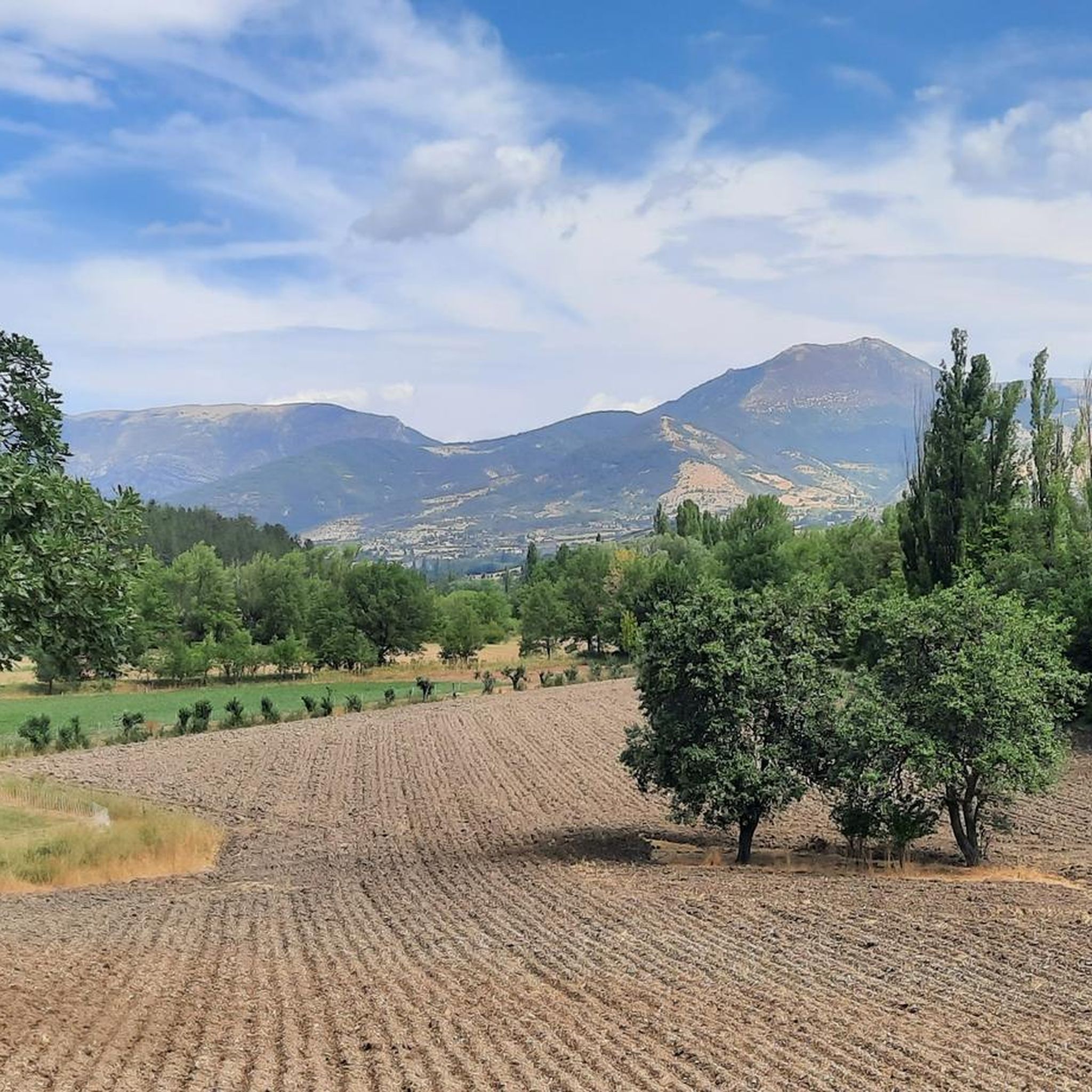
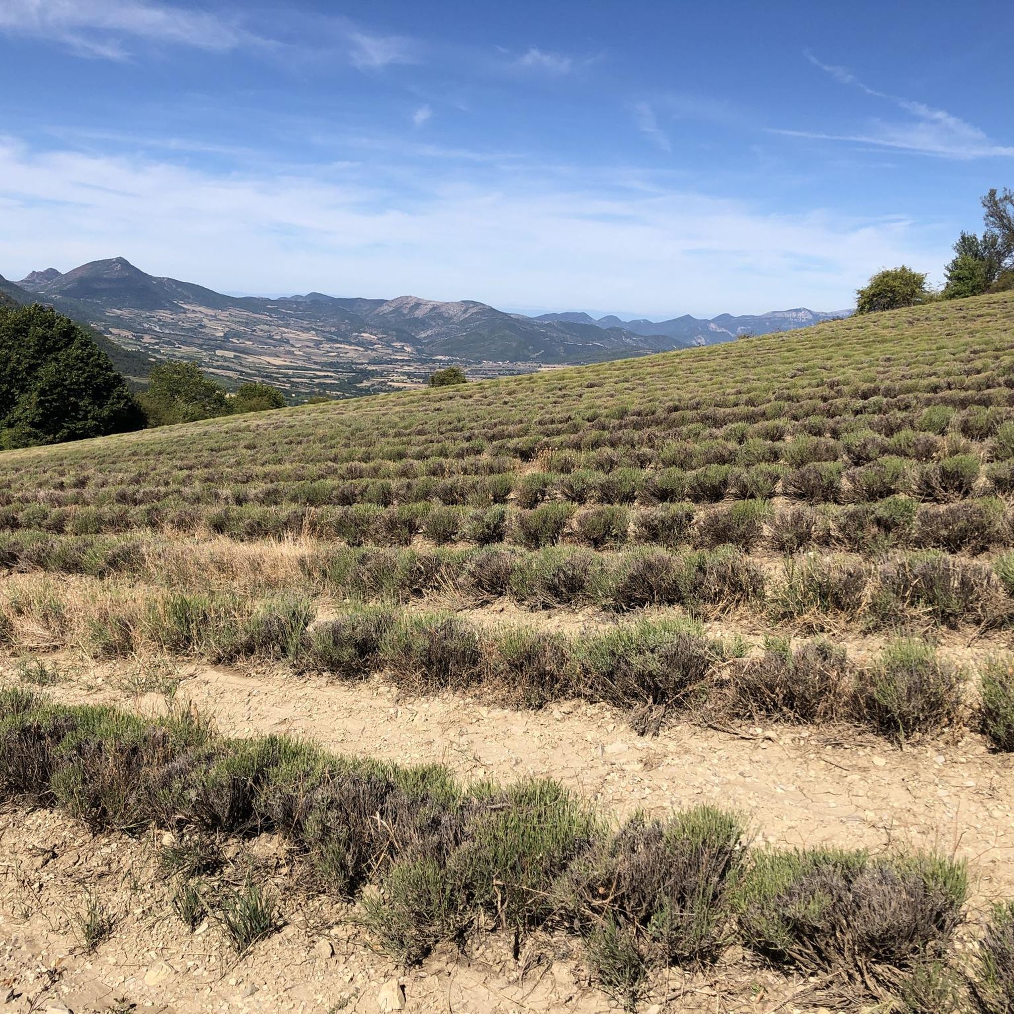
Hiking around Montferrand-La-Fare offers access to a diverse natural environment situated in the Drôme region, where Alpine and Provençal influences converge. The area is characterized by aromatic landscapes, including lavender fields, and features unspoiled terrain. A prominent natural landmark is the Montagne de Vanige, a hill with a trapezoidal summit rising to 1390m, providing a focal point for many routes. The region's varied topography includes both gentle paths and more challenging ascents.
Best hiking trails around Montferrand-La-Fare
- The most popular…
Last updated: June 25, 2026
4.8
(12)
32
hikers
7.31km
02:22
330m
340m
Moderate hike. Good fitness required. Easily-accessible paths. Suitable for all skill levels.
5.0
(5)
20
hikers
6.17km
02:08
310m
310m
Moderate hike. Good fitness required. Easily-accessible paths. Suitable for all skill levels.

Sign up for free
5.0
(2)
22
hikers
13.4km
04:31
640m
640m
Moderate hike. Good fitness required. Easily-accessible paths. Suitable for all skill levels.
5.0
(1)
12
hikers
Moderate hike. Good fitness required. Easily-accessible paths. Suitable for all skill levels.
5.0
(2)
12
hikers
9.92km
03:42
630m
620m
Moderate hike. Good fitness required. Easily-accessible paths. Suitable for all skill levels.
Get access to more routes and recommendations from other explorers.
Sign up for free
Already have an account?
Our route recommendations are based on thousands of hikes, rides, and runs completed by other people on komoot.
Start today with a free account
Your next adventure awaits.
Login or Signup
Tips from the Community

Accessible via a small, unmarked off-piste path. Be careful, it's quite steep and dizzying!
0
0

Magnificent region. I recommend the guest rooms at the Château de Rosans.
0
0

The Col de la Fromagère turns into the Col de Pommerol when you reach the summit. The climb is nevertheless magnificent on a small mountain road, with good percentages sometimes approaching 12%
0
0

During the descent, a view of the medieval town of Rosans with its square tower, church and chateau. Worth visiting the old town.
0
0

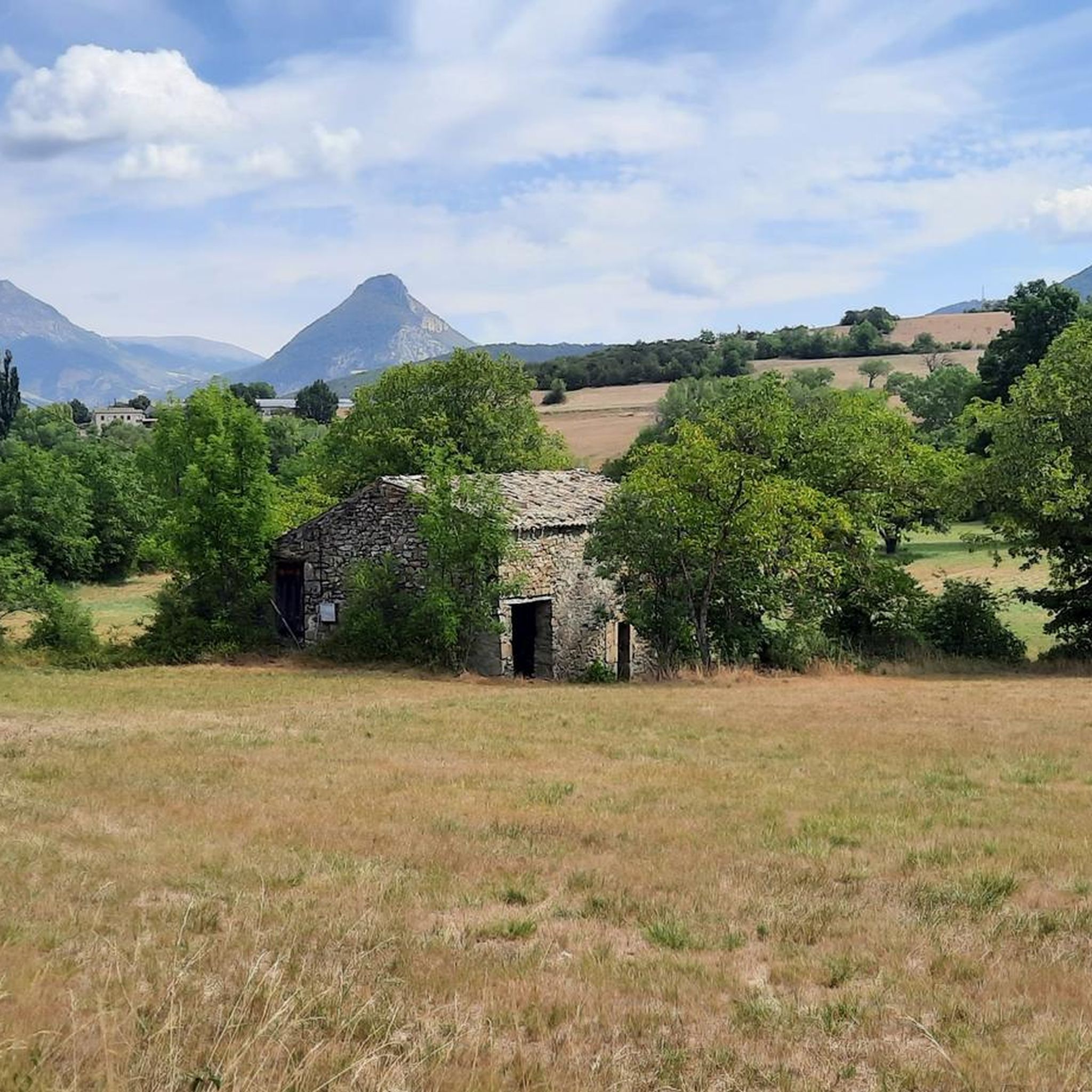
The medieval village of Rosans reveals beautiful ocher-colored stones and old Roman tile roofs. Entrance into the village is under an arched door. You discover its impressive square tower. Built in the 13th century in stones cut into diamond points, it is still in perfect state of conservation.
3
0
Steep single track which climbs the slopes of Garancier. The dense vegetation opens up in places to reveal beautiful perspectives over the Ouvèze valley.
0
0

A panoramic view of the whole valley.
0
0

Small fortified village in the Hautes-Alpes, in the heart of the Baronnies provençales. Surrounded by greenery, with houses with ocher facades and roofs of small tiles, covered passages and an old Saracen Tower.
1
0
Frequently Asked Questions
How many hiking trails are available around Montferrand-La-Fare?
There are over 70 hiking trails around Montferrand-La-Fare, offering a diverse range of experiences from easy strolls to more challenging treks. The komoot community has explored these routes over 1400 times.
What kind of terrain can I expect on hikes in Montferrand-La-Fare?
The terrain around Montferrand-La-Fare is diverse, situated at the intersection of Alpine and Provençal influences. You can expect aromatic landscapes, including lavender fields, and wild, unspoiled natural environments. Trails range from gentle paths to more challenging ascents, often leading through varied topography.
Are there any challenging hikes in the Montferrand-La-Fare area?
Yes, for those seeking a challenge, routes like the Garancier Ascent – View from Montagne de Vanige loop from Chantemerle offer significant elevation gain, leading towards the prominent Montagne de Vanige. This particular route covers 11.8 km with over 740 meters of ascent.
What natural features or landmarks can I see while hiking?
Hikers can enjoy the prominent Montagne de Vanige, a hill with a trapezoidal summit reaching 1390m, which serves as a focal point for many routes. The region is also known for its extensive lavender fields and other aromatic plants, providing a sensory experience amidst wild and unspoiled landscapes. You might also encounter mountain passes like Perty Pass or Col de Soubeyrand (994 m).
Are there family-friendly hiking options in Montferrand-La-Fare?
Yes, the area offers a selection of easy trails suitable for families. While specific family-friendly routes are not detailed here, the overall network includes paths designed for easy strolls, making them accessible for various ages and fitness levels. Look for routes marked as 'easy' in the komoot app.
Can I hike with my dog in Montferrand-La-Fare?
Generally, dogs are welcome on many hiking trails in natural areas, but it's always recommended to keep them on a leash, especially in agricultural areas, near livestock, or during nesting seasons for local wildlife. Always check local signage for specific rules or restrictions on individual trails.
When is the best time of year to go hiking in Montferrand-La-Fare?
Montferrand-La-Fare is an excellent destination for outdoor activities, particularly hiking, throughout much of the year. The region's aromatic landscapes, including lavender fields, are particularly vibrant in late spring and summer. However, the diverse terrain offers enjoyable conditions in spring and autumn as well, with cooler temperatures ideal for longer treks.
Are there circular hiking routes available?
Yes, many routes in the Montferrand-La-Fare area are designed as loops. Examples include the Rosans – View of Rosans at Sunset loop from Rosans and the Rosans – COL DE POMMEROL loop from Rosans, allowing you to start and finish at the same point.
What do other hikers enjoy most about hiking in Montferrand-La-Fare?
The area is highly rated by the komoot community, with an average score of 4.6 stars from over 250 reviews. Hikers often praise the diverse and unspoiled natural environment, the sensory experience of lavender scents, and the breathtaking views from prominent landmarks like the Montagne de Vanige.
Is parking available at the trailheads?
While specific parking information for every trailhead isn't detailed here, most popular hiking areas in France, especially those near villages or natural attractions, typically offer designated parking facilities. It's advisable to check the starting point of your chosen route on komoot for more precise parking details.
Are there any places to eat or drink near the hiking trails?
Montferrand-La-Fare and surrounding villages offer local amenities, including cafes and restaurants where you can refuel after your hike. It's a good idea to plan your route to pass through or end near one of these settlements if you wish to enjoy local cuisine or refreshments.
What is the typical length and elevation gain for hikes in this region?
Hikes in Montferrand-La-Fare vary significantly. You can find shorter walks like the Rosans – Panorama Rosans loop from Rosans, which is about 6.2 km with around 300 meters of elevation gain. Longer routes, such as the View from Montagne de Vanige loop from Cimetière La Batie Verdun, can extend to nearly 10 km with over 600 meters of ascent, offering options for all fitness levels.
Most popular routes around Montferrand-La-Fare
Most popular attractions around Montferrand-La-Fare

Get inspired with the komoot mobile app


Explore more
Browse the best Hikes in other regions.
