The best walks and hikes around Saint-Avit
4.1
(164)
1,103
hikers
115
hikes
Hiking around Saint-Avit offers diverse landscapes, characterized by quiet wooded valleys and broad, sheep-grazing valleys. The terrain includes forests and scenic valleys, providing varied options for outdoor enthusiasts. The wider region, including the Dordogne River, features natural beauty and historical sites. This Saint-Avit-Sénieur landscape provides a mix of gentle paths and routes with moderate elevation changes.
Best hiking trails around Saint-Avit
- The most popular hiking route is Route de Sableux loop from Ratières, a 6.5 miles (10.4 km) trail…
Last updated: July 1, 2026
3.5
(2)
18
hikers
10.4km
02:58
240m
230m
Moderate hike. Good fitness required. Easily-accessible paths. Suitable for all skill levels.
4.0
(2)
12
hikers
12.8km
03:40
320m
320m
Moderate hike. Good fitness required. Mostly accessible paths. Sure-footedness required.

Sign up for free
8
hikers
5.81km
01:43
170m
170m
Easy hike. Great for any fitness level. Easily-accessible paths. Suitable for all skill levels.
12
hikers
10.4km
03:06
330m
330m
Moderate hike. Good fitness required. Easily-accessible paths. Suitable for all skill levels.
4.0
(1)
8
hikers
10.2km
02:59
270m
270m
Moderate hike. Good fitness required. Mostly accessible paths. Sure-footedness required.
Get access to more routes and recommendations from other explorers.
Sign up for free
Already have an account?
Our route recommendations are based on thousands of hikes, rides, and runs completed by other people on komoot.
Start today with a free account
Your next adventure awaits.
Login or Signup
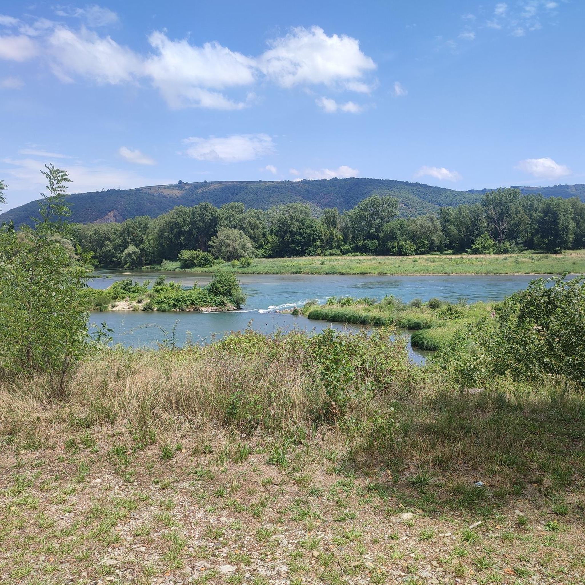
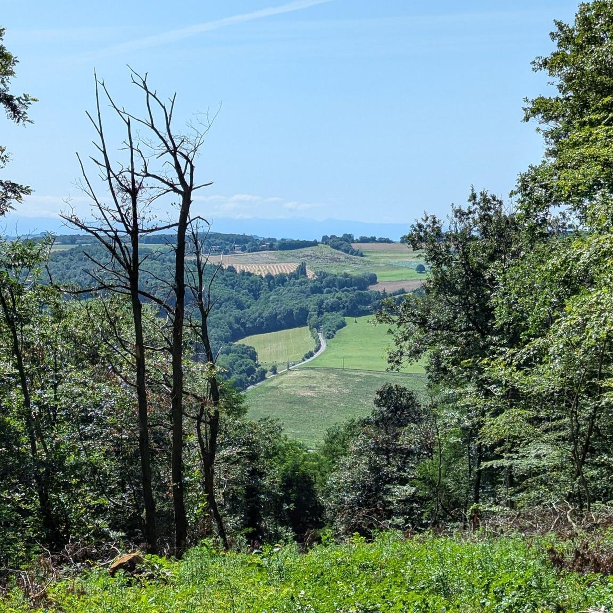
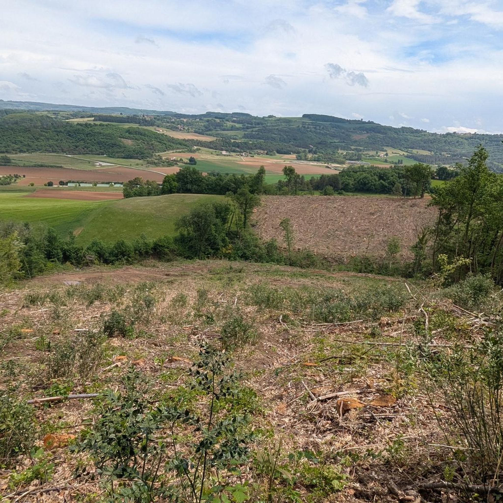
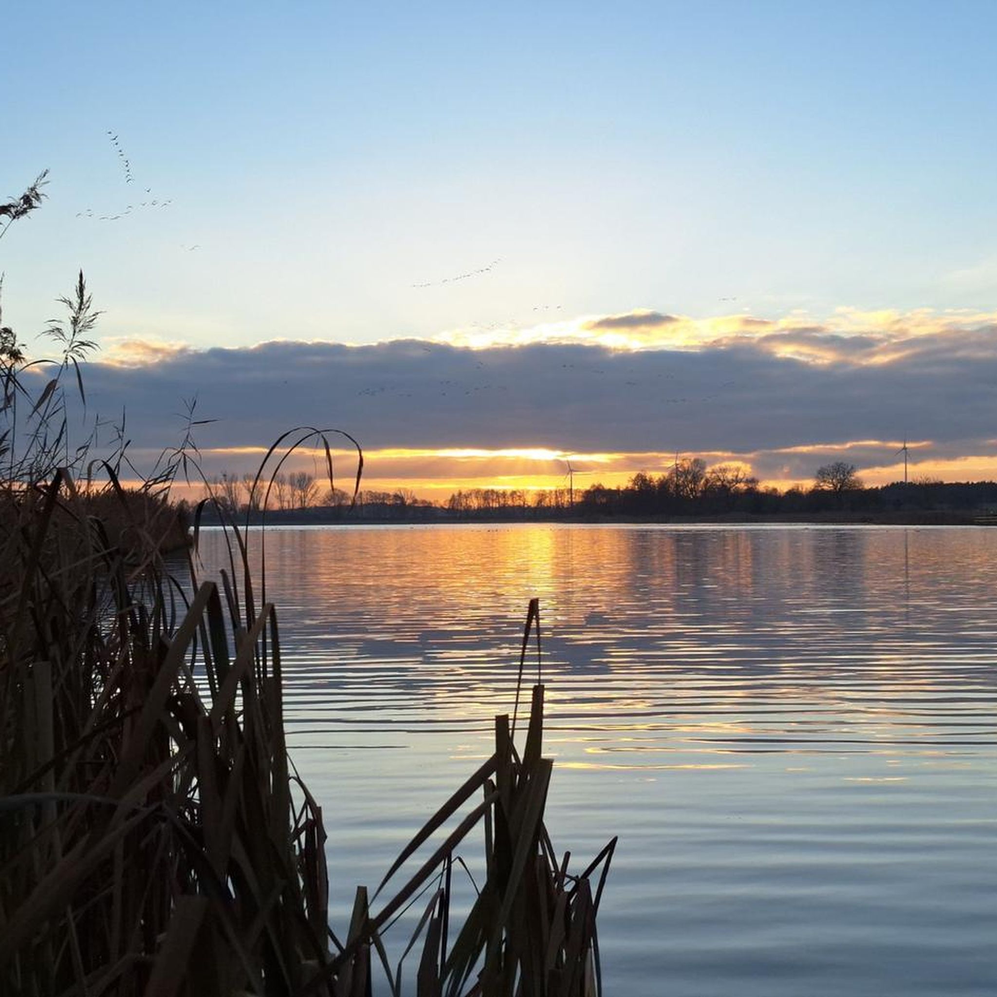
Tips from the Community

The history of this small village of 250 inhabitants, perched in the heart of the Drôme hills, is linked to that of the Principality of Monaco, thanks to a certain Lord Imbert de Bathernay. He is the ancestor of Prince Albert II of Monaco. Since May 2023, the town has officially become "Grimaldi historic site of Monaco". Discover its church and its troglodyte houses.
1
0

Frequently Asked Questions
How many hiking trails are there in Saint-Avit?
Saint-Avit offers a wide selection of hiking opportunities, with over 100 routes available. These range from easy strolls to more challenging treks, ensuring there's something for every hiker.
What kind of terrain can I expect on hikes around Saint-Avit?
The terrain around Saint-Avit is quite varied, characterized by quiet wooded valleys, broad sheep-grazing valleys, and forests. You'll find a mix of gentle paths and routes with moderate elevation changes, providing diverse landscapes to explore.
Are there easy hiking options for beginners or families?
Yes, Saint-Avit has numerous easy hiking options perfect for beginners or families. For example, the Bathernay loop from Bathernay is an easy 3.6-mile (5.8 km) trail that takes about 1 hour 43 minutes, leading through local villages and fields.
Are there more challenging hikes for experienced hikers?
While many routes are moderate, the region does offer trails with more significant ascents for those seeking a challenge. The diverse terrain ensures that experienced hikers can find routes requiring good fitness, often winding through forests and scenic valleys.
Can I find circular hiking routes in Saint-Avit?
Yes, many of the hiking routes in Saint-Avit are circular, allowing you to start and end at the same point. Popular options include the Route de Sableux loop from Ratières and the Lac des Goutoules – Table d'orientation loop from Claveyson.
Are there any historical landmarks or natural attractions to see along the trails?
Absolutely. The region is rich in history and natural beauty. You can explore sites like the substantial ruined abbey in Saint-Avit-Sénieur, a UNESCO heritage site. Other nearby attractions include the Palais Idéal, Rochetaillée Castle, and the Collegiate Church of Saint Peter and Saint Paul. The wider Dordogne region is also known for its caves and medieval castles.
Are the hiking trails in Saint-Avit dog-friendly?
Many trails in the Saint-Avit area are suitable for dogs, especially those winding through forests and quiet valleys. However, it's always recommended to keep dogs on a leash, especially when passing through agricultural areas or near wildlife, and to check local signage for any specific restrictions.
Where can I find panoramic views during my hike?
Many trails offer pretty views across the countryside, particularly over broad valleys. The region's diverse terrain often leads to elevated points that provide scenic overlooks. While not directly on a hiking trail, the Panoramic Gardens of Limeuil are a notable nearby attraction known for their vistas.
What is the best time of year to hike in Saint-Avit?
The region is enjoyable for hiking throughout much of the year. Spring and autumn offer pleasant temperatures and vibrant scenery, with blooming wildflowers or colorful foliage. Summer is also popular, though it can be warmer, making early morning or late afternoon hikes ideal. Winter hikes are possible, especially on lower elevation trails.
Is parking available near the trailheads?
Parking is generally available in or near the villages and starting points of many trails in the Saint-Avit area. Specific parking information can often be found on individual route descriptions or local tourism websites. For more details on the village itself, you can visit pays-bergerac-tourisme.com.
How can I reach the hiking trails using public transport?
Public transport options directly to specific trailheads in Saint-Avit may be limited, as the region is characterized by its rural charm. It is often more convenient to reach the area by car, which allows greater flexibility to access various starting points. However, local bus services might connect larger towns, from which you could potentially access some routes.
Are there places to eat or stay near the hiking routes?
Saint-Avit-Sénieur and surrounding villages offer charming options for accommodation, including guesthouses and B&Bs, as well as local cafes and restaurants where you can enjoy regional cuisine after your hike. These services are typically found within the village centers or nearby hamlets.
What do other hikers say about the trails in Saint-Avit?
The trails in Saint-Avit are highly rated by the komoot community, with an average score of 4.1 stars from over 150 reviews. Hikers often praise the quiet wooded valleys, the diverse landscapes, and the well-maintained paths that make exploring the region a rewarding experience.
Most popular attractions around Saint-Avit

Get inspired with the komoot mobile app


Explore more
Browse the best Hikes in other regions.
