The best walks and hikes around Antisanti
4.5
(243)
1,186
hikers
28
hikes
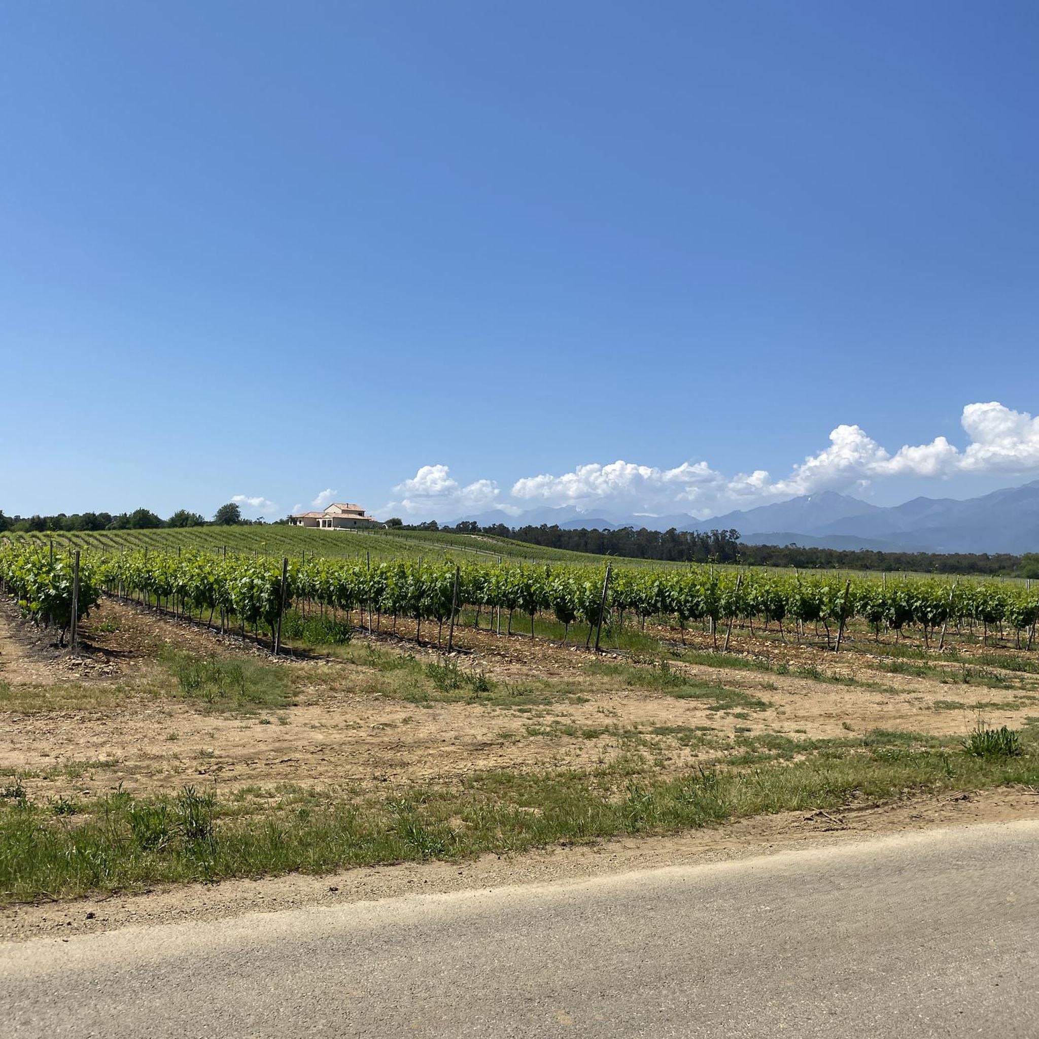
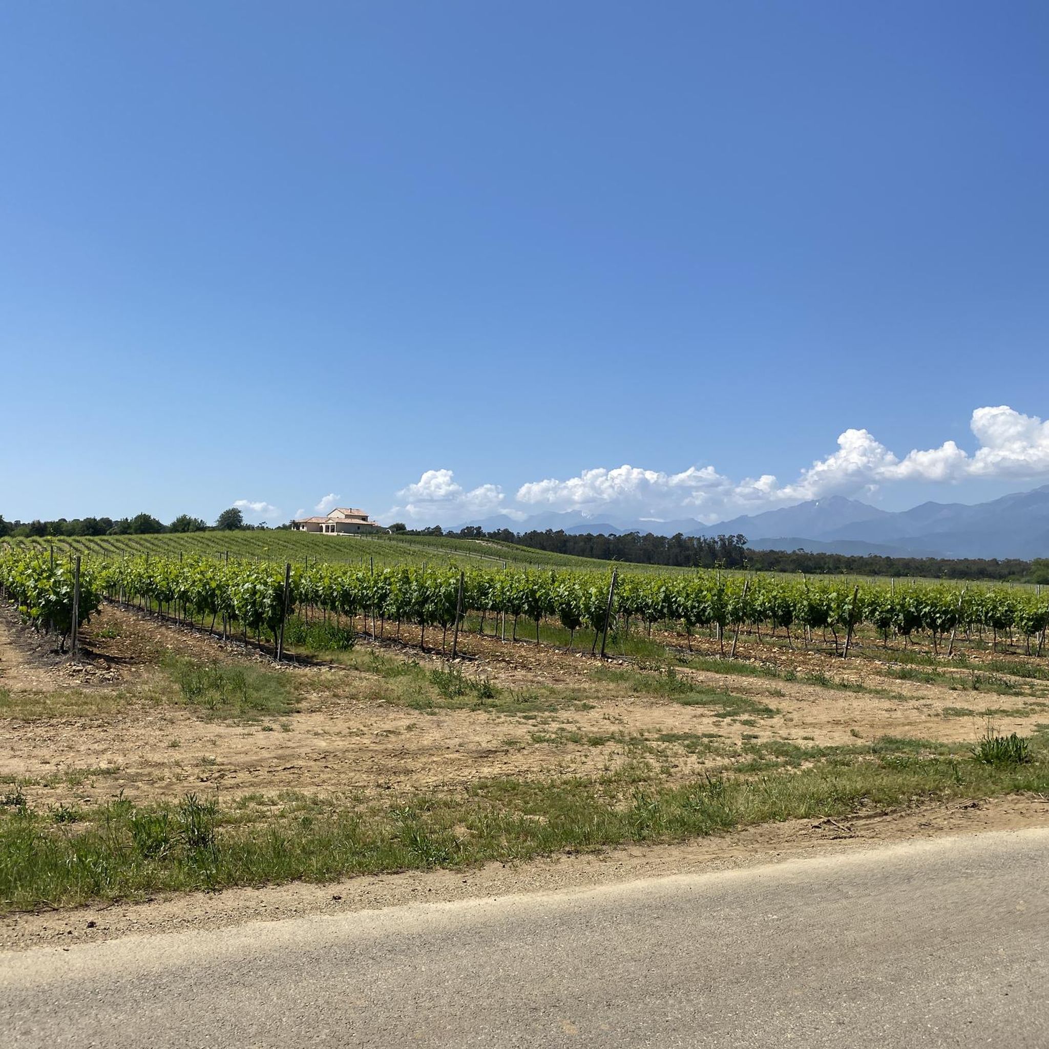
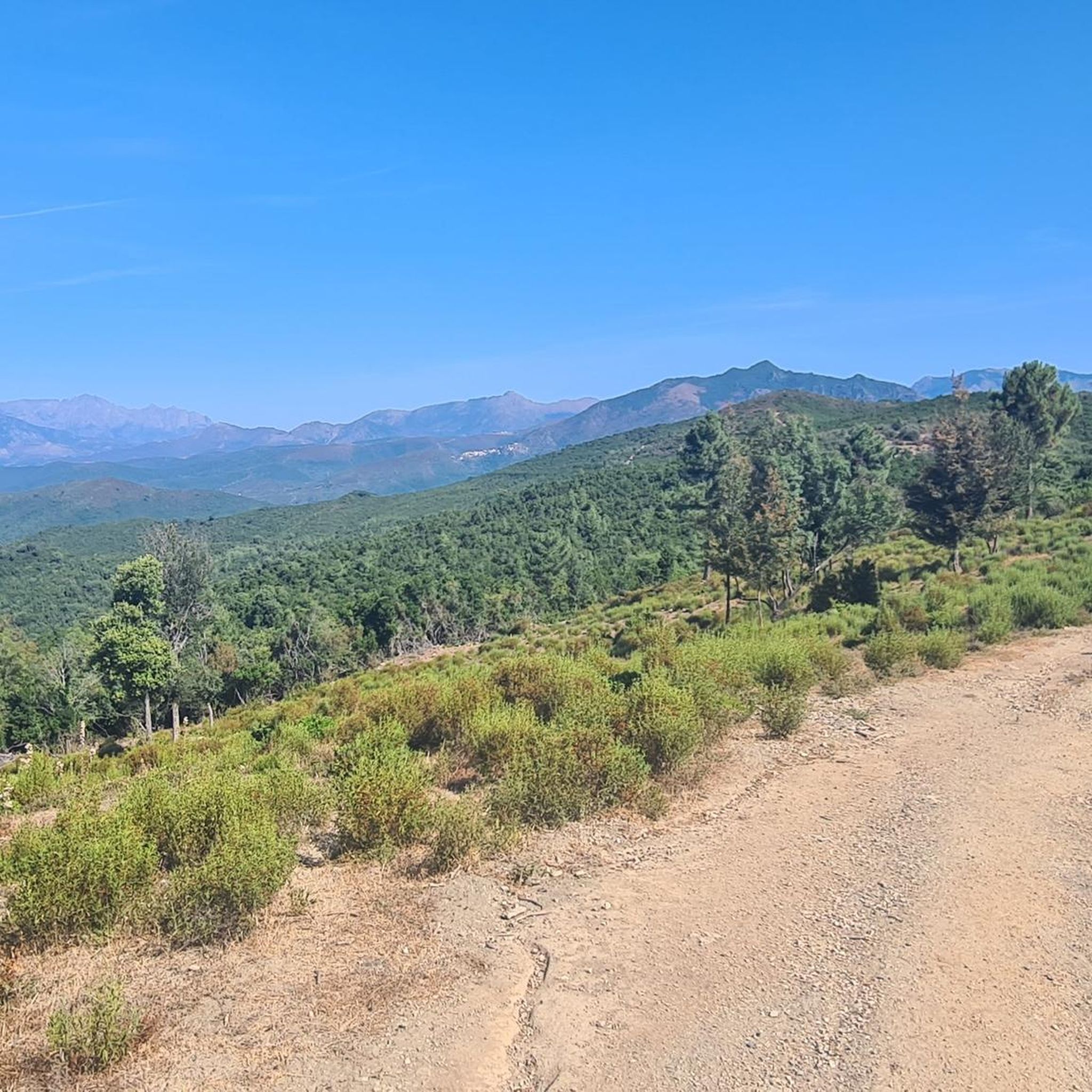
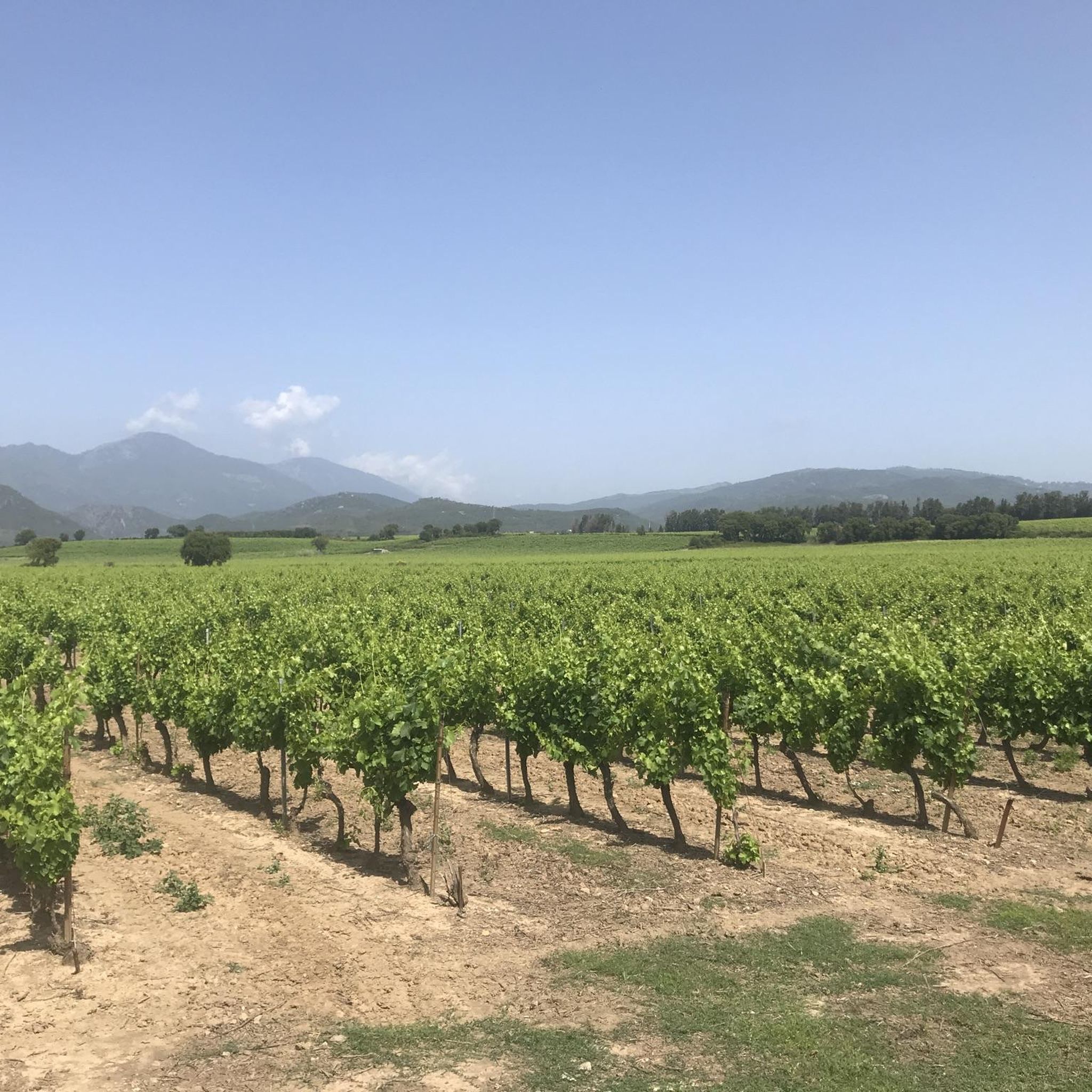
Hiking around Antisanti offers access to Corsica's diverse natural environment, characterized by dramatic gorges, lush valleys, and varied terrain. The region is situated within the Corsica Regional Natural Park, providing mountain landscapes and numerous hiking trails. Features include the Strette and Inzecca gorges, carved by the Fiurmorbo river, and the Perelli Pass. This area provides a mix of coastal proximity and mountainous backdrops, suitable for various outdoor activities.
Best hiking trails around Antisanti
- The most popular hiking route is Tallone…
Last updated: June 28, 2026
4.4
(27)
118
hikers
15.3km
03:55
60m
60m
Moderate hike. Good fitness required. Easily-accessible paths. Suitable for all skill levels.
3.0
(3)
12
hikers
Moderate hike. Good fitness required. Easily-accessible paths. Suitable for all skill levels.

Sign up for free
5.0
(2)
7
hikers
14.6km
05:07
630m
630m
Hard hike. Very good fitness required. Mostly accessible paths. Sure-footedness required.
4.5
(4)
11
hikers
Easy hike. Great for any fitness level. Easily-accessible paths. Suitable for all skill levels.
4.0
(1)
6
hikers
7.10km
02:14
250m
250m
Moderate hike. Good fitness required. Easily-accessible paths. Suitable for all skill levels.
Get access to more routes and recommendations from other explorers.
Sign up for free
Already have an account?
Our route recommendations are based on thousands of hikes, rides, and runs completed by other people on komoot.
Start today with a free account
Your next adventure awaits.
Login or Signup
Tips from the Community

Easy hike, you can enjoy the flowers, Myrtle before arriving at the Tour de Diane, panorama over the Etang de Diane, possible to also do the way there or back on the beach.
0
0
According to the information board, this is a “cabane des bergers pour transhumance”, i.e. a hut for shepherds and not a fisherman’s hut.
0
0

Never seen a laundromat standing alone on the side of the road.
0
0

The Route Forestière 6 was a road in Corsica established in 1854 by the Décret Imperial 1782. It was built to develop one of Corsica's forests for the timber industry. Operated by the state, it had the status of a national road. The F6 branched off from the National Road 198 south of Aléria and led to Vivario. It was 45 kilometers long. It was downgraded in 1973.
1
0

Magnificent view over the forest and beach towards Torre de Diana, an old watchtower on the Étang de Diana, a lake near Aléria.
0
0
Reconstruction of an old fishing hut. A beautiful place with a fascinating view over the Étang de Diana.
0
0

Here you can make a nice little hike. At one point the macchia has overgrown the path. Luckily there was an alternative way.
1
0

Crustaceans are farmed here on a large scale. The shore section is therefore unfortunately polluted with nets, traps, buoys and other rubbish.
1
0
Frequently Asked Questions
How many hiking trails are available around Antisanti?
There are over 25 hiking trails around Antisanti, offering a variety of experiences from easy strolls to more challenging routes. You'll find a good mix, with 14 easy, 11 moderate, and 1 difficult trail to explore.
What kind of landscapes can I expect to see while hiking near Antisanti?
Hiking around Antisanti offers a diverse range of landscapes. You can expect dramatic gorges like the Strette Gorge, lush valleys, and varied terrain within the Corsica Regional Natural Park. The area also features coastal paths, river gorges, and access to mountainous backdrops, providing a mix of marine and mountain experiences.
Are there any family-friendly hiking options in the Antisanti area?
Yes, there are several family-friendly options. The region offers many easy trails, such as the Tallone Beach – Diane Tour loop from Étang de Diane, which is just over 4 km long. For a beautiful forest walk with natural pools, consider the trails leading to the Aitone natural pools and waterfalls, where you might even spot free-roaming pigs and cows.
Can I find circular hiking routes around Antisanti?
Absolutely. Many of the routes around Antisanti are designed as loops, allowing you to start and end in the same location. Examples include the Tallone Beach – Diane Tour loop from Padulone and the Tallone Beach – Étang de Diane loop from Étang de Diane, which offer convenient circular paths.
What are some notable natural attractions or landmarks to see on a hike?
The area boasts several natural highlights. You can explore the impressive Strette Gorge, known for its extraordinary landscapes. The Perelli Pass and Towards Col d'Erbajo offer scenic views, with the latter even featuring a fresh spring. Further afield, the Restonica valley is a wild jewel with emerald lakes and crystal waterfalls, and Melo Lake provides breathtaking mountain scenery.
Are there any trails that feature waterfalls or natural swimming spots?
Yes, the region is known for its beautiful water features. The Restonica valley is particularly famous for its crystal-colored waterfalls and deep gorges. Additionally, the trails leading to the Aitone natural pools and waterfalls near Evisa offer lovely natural swimming opportunities amidst stunning chestnut woods.
What do other hikers say about the trails around Antisanti?
The trails around Antisanti are highly regarded by the komoot community, with an average score of 4.5 stars from over 300 reviews. Hikers often praise the diverse terrain, from coastal paths to river gorges, and the access to the beautiful Corsica Regional Natural Park.
Are there any long-distance hiking opportunities near Antisanti?
While Antisanti itself offers routes up to 15 km, its location within the Corsica Regional Natural Park provides access to a wider network of trails, including portions of the famous GR20. This allows for more extensive hiking experiences across the island's diverse terrain.
What is the best time of year to go hiking in Antisanti?
Corsica generally offers good hiking conditions for much of the year. Spring and autumn are often ideal, with milder temperatures and vibrant landscapes. Summer can be warm, especially on coastal paths, but higher mountain trails offer cooler air. Winter hikes are possible, though some higher passes might be affected by snow.
What should I be aware of regarding wildlife or livestock on the trails?
When hiking in the Antisanti area, particularly around mountain passes like the Perelli Pass or in forested areas like those near the Aitone natural pools, you might encounter free-roaming animals such as goats, pigs, and cows. It's advisable to give them space and observe them from a distance.
Are there any coastal hiking routes near Antisanti?
Yes, Antisanti's proximity to the coast means you can enjoy several coastal hiking routes. Trails like the Tallone Beach – Diane Tour loop from Aléria explore the coastal plain, offering open landscapes and views of the sea. Another option is the Tallone Beach – Réserve du Président loop from Cave d'Aleria, which leads through coastal areas and near the Réserve du Président.
Most popular attractions around Antisanti

Get inspired with the komoot mobile app


Explore more
Browse the best Hikes in other regions.
