The best walks and hikes around Saint-Sever-Du-Moustier
4.4
(51)
281
hikers
33
hikes
Hiking around Saint-Sever-Du-Moustier offers diverse landscapes in the southern Aveyron region of France. The area is characterized by the Monts de Lacaune, featuring forests, hills, and green valleys, with elevations ranging from around 500 meters to over 960 meters. Trails also traverse the distinctive red landscapes of the Rougier de Camarès and follow the peaceful Toudoure and Rance river valleys. This varied terrain provides opportunities for both gentle walks and routes with significant elevation changes.
Best hiking trails around Saint-Sever-Du-Moustier
…Last updated: May 12, 2026
4.4
(7)
44
hikers
18.2km
05:23
520m
520m
Hike the difficult 11.3-mile Hautes-Terres d'Oc Tour: Lacaune and Pic de Montalet Loop for panoramic views from Pic de Montalet.
14
hikers
10.9km
03:22
400m
400m
Moderate hike. Good fitness required. Easily-accessible paths. Suitable for all skill levels.

Sign up for free
16
hikers
13.1km
03:57
420m
420m
Moderate hike. Good fitness required. Easily-accessible paths. Suitable for all skill levels.
4.2
(5)
10
hikers
11.5km
03:29
380m
380m
Moderate hike. Good fitness required. Easily-accessible paths. Suitable for all skill levels.
3.0
(1)
7
hikers
8.93km
02:50
360m
370m
Moderate hike. Good fitness required. Easily-accessible paths. Suitable for all skill levels.
Get access to more routes and recommendations from other explorers.
Sign up for free
Already have an account?
Our route recommendations are based on thousands of hikes, rides, and runs completed by other people on komoot.
Start today with a free account
Your next adventure awaits.
Login or Signup
Tips from the Community

The Wild Child: In 1798, in the woods of La Bassine, hunters discovered a child potentially adopted by wolves and raised as one of their own.
0
0

The peak of Montalet, at 1259 meters, is one of the highest peaks of the Tarn (only surpassed by the puech de Montgrand and the puech de Rascas). The view of the south of the Massif Central from the Rocher de la Vierge is magnificent.
0
0
The Roc des Ecus at 1074m offers a magnificent belvedere allowing you to enjoy a beautiful view of Lacaune.
0
0
The Roc des Ecus is not the highest of the peaks but it offers a magnificent belvedere allowing you to enjoy in particular a beautiful view of Lacaune.
0
0
The peak of Montalet, at 1259 meters, is one of the highest peaks of the Tarn (only surpassed by the puech de Montgrand and the puech de Rascas). The view of the south of the Massif Central from the Rocher de la Vierge is magnificent.
1
0
Frequently Asked Questions
How many hiking trails are available around Saint-Sever-Du-Moustier?
There are over 30 hiking routes in the Saint-Sever-Du-Moustier area, catering to various skill levels. You'll find a good mix, with 9 easy trails, 21 moderate options, and 3 more challenging routes for experienced hikers.
Are there any easy, family-friendly walks in Saint-Sever-Du-Moustier?
Yes, the region offers several easy walks suitable for families. For instance, the "Chemin des Catous" is a 6.66 km trail that's ideal for exploring the rural heritage, featuring old walls and terraces. You can find more details about this route on tourisme-aveyron.com.
What kind of landscapes can I expect to see while hiking here?
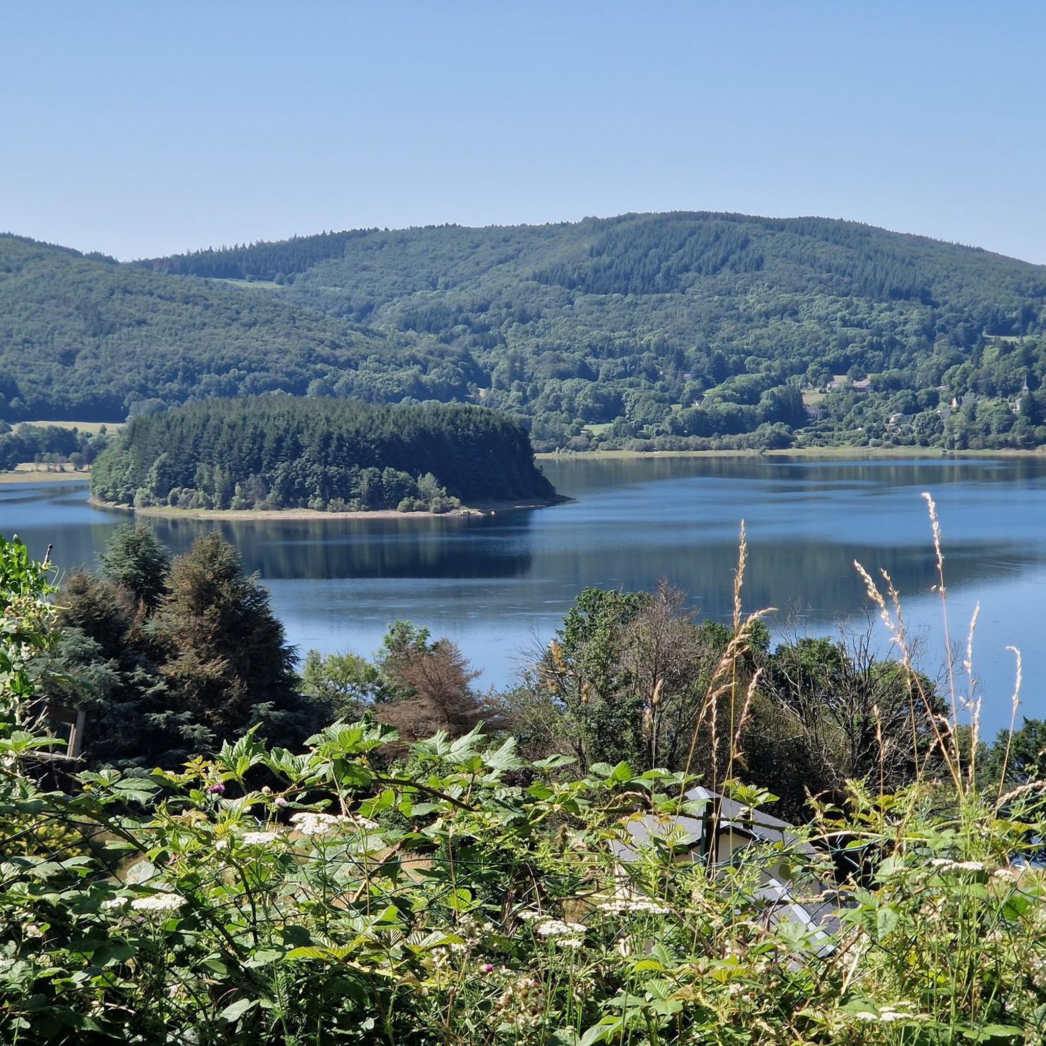
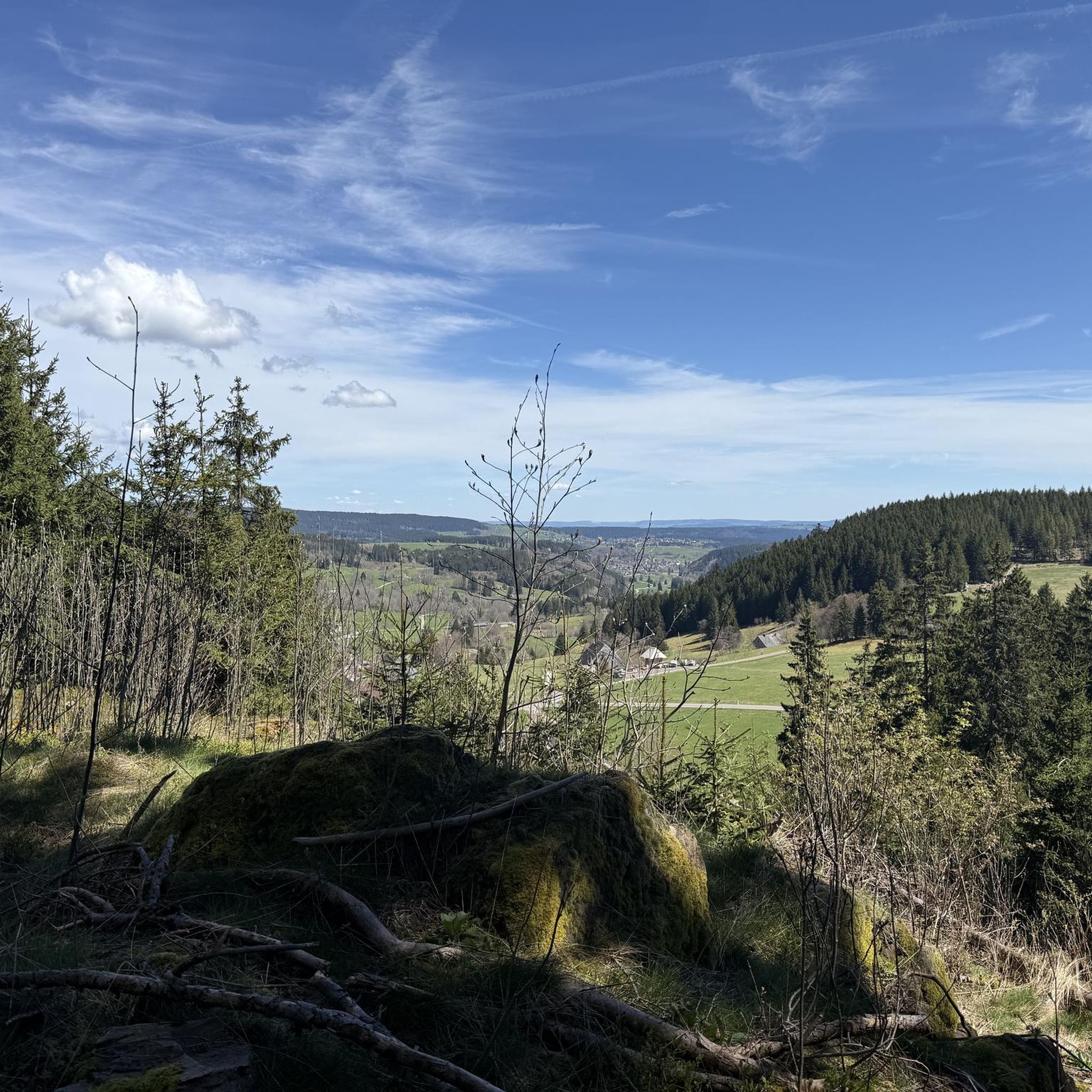
Hiking around Saint-Sever-Du-Moustier offers incredibly diverse landscapes. You'll traverse the "verdant ocean" of the Monts de Lacaune with its forests and green valleys, encounter the distinctive red landscapes of the Rougier de Camarès, and follow peaceful river valleys like the Toudoure. Many trails also lead through beautiful beech forests and high-altitude pastures.
Are there any circular hiking trails in the area?
Yes, many of the trails around Saint-Sever-Du-Moustier are circular, allowing you to start and end at the same point. An example is the Lacaune – Roc des Ecus loop from Lacaune, a moderate 13.1 km path that winds through forested areas.
What are some notable viewpoints or panoramic spots on the trails?
The region is known for its stunning panoramic views. Trails leading to summits like Merdelou offer 360-degree vistas of the Orb and Lacaune mountains, and even the Pyrénées on clear days. The Montalet Peak is another excellent spot, with the Pic du Montalet: The virgin dominates the region offering a wide perspective of the Massif Central.
What cultural or historical attractions can I find along the hiking routes?
The hiking trails are often dotted with elements of rural heritage, such as dry stone walls, ancient terraces, and old farm buildings. The village of Saint-Sever-du-Moustier itself is home to the "Musée des Arts Buissonniers" and the "Construction Insolite," a unique collective artwork. You might also find historical vestiges like traces of turrets from the Château de Malviès.
Are there any longer, more challenging hikes for experienced trekkers?
For experienced hikers seeking a challenge, the area offers routes with significant elevation gains. The Hautes-Terres d'Oc Tour: Lacaune and Pic de Montalet Loop is a difficult 18.2 km trail with over 500 meters of elevation gain, providing extensive panoramic views.
What do other hikers enjoy most about hiking in Saint-Sever-Du-Moustier?
The area is highly rated by the komoot community, with an average score of 4.4 stars from over 40 reviews. Hikers frequently praise the diverse landscapes, from the green valleys of the Monts de Lacaune to the unique red earth of the Rougier de Camarès, and the rewarding panoramic views from various summits.
Are there specific trails that showcase the Rougier de Camarès red landscapes?
Yes, some hiking loops, particularly those around Combret-sur-Rance, are known to showcase the distinctive red landscapes of the Rougier de Camarès. This geological feature adds a unique visual dimension to the scenery, contrasting with the verdant forests.
What is the best season for hiking in Saint-Sever-Du-Moustier?
The diverse terrain of Saint-Sever-Du-Moustier makes it suitable for hiking across multiple seasons. Spring and autumn offer pleasant temperatures and vibrant colors, while summer is ideal for enjoying the high-altitude pastures. Always check local weather conditions before heading out.
Are there any trails that lead to the Roc des Ecus?
Yes, the Roc des Ecus is a notable feature in the area, and several trails incorporate it. For example, the Roc des Ecus loop from Lacaune is a moderate 8.9 km route that offers views of this distinctive rock formation.
Can I find trails that follow river valleys?
Absolutely. The discreet Toudoure valley, with its namesake stream, is a prominent natural feature, guiding hikers through peaceful settings. You'll find opportunities to cross small stone bridges and walk alongside the water. The Rance river valley is also highlighted in nearby routes, featuring wooded paths.
Most popular routes around Saint-Sever-Du-Moustier
Most popular attractions around Saint-Sever-Du-Moustier

Get inspired with the komoot mobile app


Explore more
Browse the best Hikes in other regions.
