The best walks and hikes around Clérieux
4.4
(381)
2,992
hikers
201
hikes
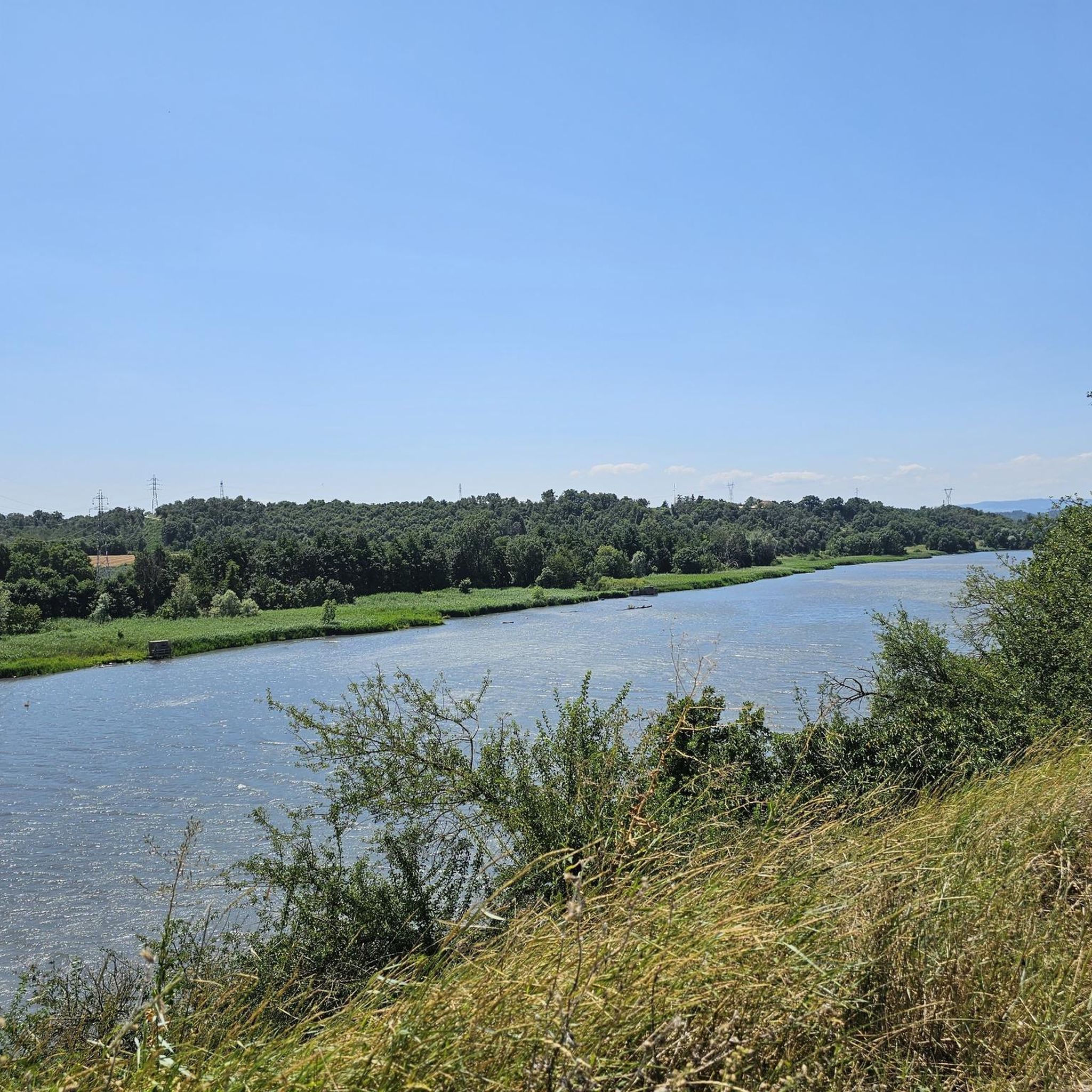
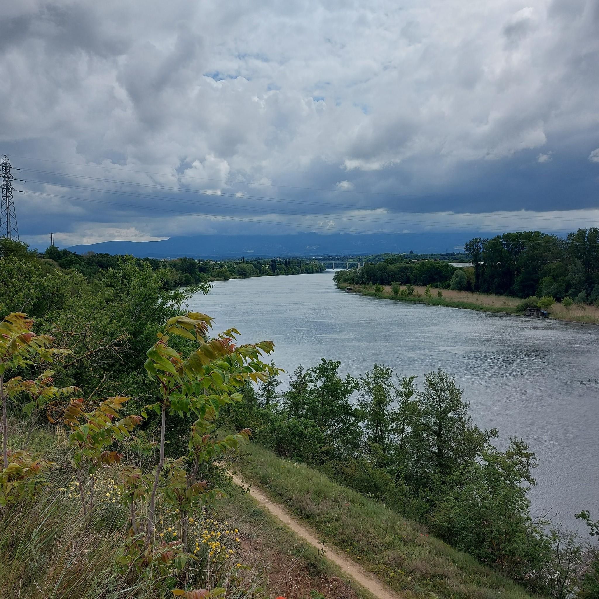
Hiking around Clérieux offers diverse landscapes within the Drôme department of France. The region is characterized by rolling hills, tranquil countryside, and vineyards, part of the Drôme des Collines. Hikers can explore paths along the Isère River and discover unique geological features like old molasse quarries and troglodytic dwellings near Châteauneuf-sur-Isère. Distant views of the Vercors and Ardèche mountains are also accessible from various viewpoints.
Best hiking trails around Clérieux
- The most popular hiking route is Lac de Champos loop from Saint-Donat-sur-l'Herbasse, an 8.4 miles (13.5 km) trail that takes 3 hours 38 minutes to complete. This moderate route incorporates the scenic Lake Champos.
- Another top favourite among local hikers is Mercurol Tower loop from Chanos-Curson, a moderate 7.0 miles (11.3 km) path. This trail offers varied terrain and takes approximately 3 hours 11 minutes.
- Local hikers also love the Beautiful views – Troglodyte site loop from Châteauneuf-sur-Isère, a 6.6 miles (10.6 km) trail leading through areas with unique troglodyte dwellings, often completed in about 3 hours 3 minutes.
- Hiking around Clérieux is defined by rolling hills, riverbanks along the Isère, and vineyards, with options ranging from easy family strolls to more challenging moderate routes.
- The routes in Clérieux are highly rated by the komoot community with an average score of 4.4 stars from over 300 reviews. More than 2,700 hikers have used komoot to explore Clérieux's varied terrain.
Last updated: July 1, 2026
4.7
(6)
27
hikers
10.0km
02:51
220m
220m
Moderate hike. Good fitness required. Easily-accessible paths. Suitable for all skill levels.
4.0
(3)
36
hikers
Easy hike. Great for any fitness level. Easily-accessible paths. Suitable for all skill levels.

Sign up for free
4.0
(2)
12
hikers
10.6km
03:03
250m
250m
Moderate hike. Good fitness required. Mostly accessible paths. Sure-footedness required.
4.0
(1)
13
hikers
12.4km
03:11
60m
60m
Moderate hike. Good fitness required. Easily-accessible paths. Suitable for all skill levels.
7
hikers
Hard hike. Very good fitness required. Easily-accessible paths. Suitable for all skill levels.
Get access to more routes and recommendations from other explorers.
Sign up for free
Already have an account?
Our route recommendations are based on thousands of hikes, rides, and runs completed by other people on komoot.
Start today with a free account
Your next adventure awaits.
Login or Signup

Tips from the Community

The FRANCE VOYAGE website reports on the origin of the current place name with Saint DONATUS: "With the advent of Christianity, Saint-Donat bore the name Jovincieu or Jovenzieux. In 732, during the invasion of the Saracens, Corbus, the bishop of Grenoble, fled to Jovenzieux and brought with him the relics of Saint Donatus, who died in the 6th century, on his way to Sisteron – hence the name Saint-Donat." However, the collegiate church located in the town has a different patron saint than the place name; here, the choice was made for the two prince of the apostles, SAINTS PIERRE et PAUL, whose common feast day is celebrated on June 29th in the calendar.
0
0


Very beautiful cloister with sculptures of musicians
0
0

A beautiful view of the hills and vineyards of the Drôme. The best times to visit are spring and fall, to fully enjoy the colors.
0
0
On the archaeological site there are houses which have been dug into soft rock, partly linked to stone extraction activities. Today there are only around ten troglodyte houses left in approximately good condition in the town nicknamed “the village of a hundred troglodyte houses”. There are also cathedral cellars, the miraculous spring and the remains of a 15th century house.
2
0

Road in good general condition
1
0
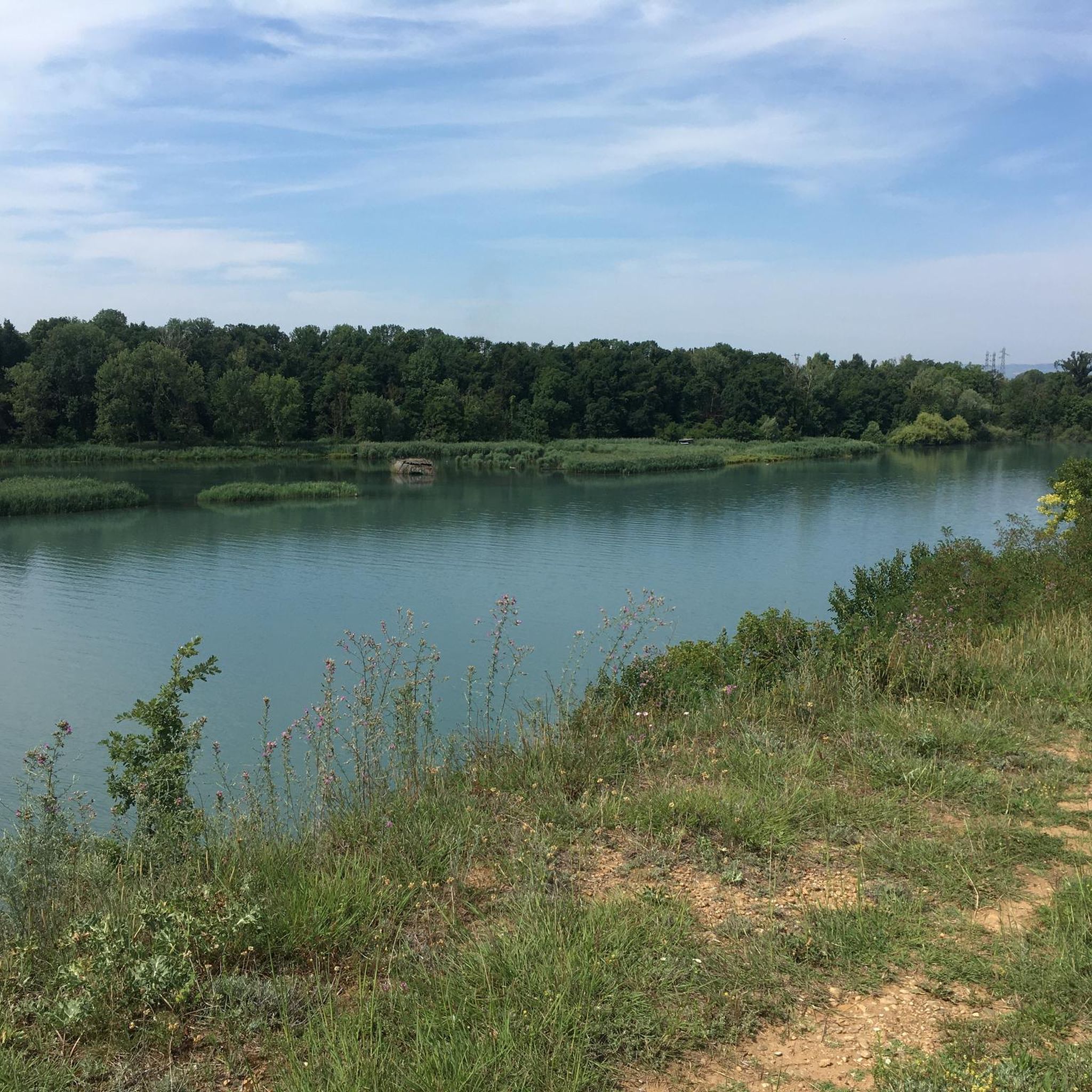
Quiet by the water
2
0

Lake Champos is an ideal place during the summer season for swimming. Here you will find supervised swimming, something to have a drink at the water's edge and water activities such as pedal boats, paddles and slides. Very popular with the inhabitants of the region, the attendance can be important during the weekends of July-August.
0
0
Frequently Asked Questions
What types of landscapes can I expect to see while hiking around Clérieux?
The region around Clérieux is characterized by diverse landscapes, including rolling hills, tranquil countryside, and vineyards, especially within the Drôme des Collines. You can also find paths along the Isère River and discover unique geological features like old molasse quarries and troglodytic dwellings. Many routes offer distant views of the Vercors and Ardèche mountains.
Are there any easy hiking trails suitable for beginners or families in Clérieux?
Yes, Clérieux offers a good selection of easy trails. Out of the 175 available routes, 68 are classified as easy, making them suitable for beginners or families looking for a gentle stroll. These routes often feature less elevation gain and shorter distances.
Are there any circular hiking routes available in the Clérieux area?
Many of the hiking routes around Clérieux are designed as loops, offering a convenient way to explore the area without retracing your steps. Examples include the Lac de Champos loop from Saint-Donat-sur-l'Herbasse and the Hiking loop from Granges-les-Beaumont.
What natural attractions or landmarks can I discover on hikes near Clérieux?
Hikers can explore several interesting natural and historical features. Near Châteauneuf-sur-Isère, you can visit unique troglodytic dwellings and old molasse quarries. The scenic Lac de Champos is also a prominent natural attraction, and the region offers views of the Isère valley, Vercors mountains, and Ardèche mountains. You might also encounter highlights such as the Passerelle Marc-Seguin or the Historic centre of Romans-sur-Isère.
Is there parking available at the trailheads around Clérieux?
While specific parking details for every trailhead are not provided, many popular hiking areas in France, especially those near villages or natural attractions, typically offer designated parking facilities. It's advisable to check the specific route details on komoot for information on parking at the start of your chosen trail.
What is the best time of year to go hiking in Clérieux?
The region's picturesque views of hills and vineyards are especially beautiful in spring and autumn. These seasons generally offer pleasant temperatures for hiking. While summer is also popular, especially for activities around Lac de Champos, it can be warmer. Winter hikes are possible, but some paths might be less accessible depending on weather conditions.
Are there any opportunities for wild swimming or water activities near the hiking trails?
Yes, the scenic Lac de Champos, which is incorporated into routes like the Lac de Champos loop from Saint-Donat-sur-l'Herbasse, is popular for supervised swimming and various water sports like pedal boats and paddleboarding during the summer months.
What do other hikers say about the trails in Clérieux?
The routes in Clérieux are highly rated by the komoot community, with an average score of 4.4 stars from over 300 reviews. Hikers often praise the varied terrain, the beautiful views of the Drôme's hills and vineyards, and the opportunities to discover unique historical sites like the troglodyte dwellings.
How many hiking trails are there in total around Clérieux?
There are over 175 hiking trails available around Clérieux, offering a wide range of options for different skill levels and preferences.
Can I find routes that offer views of Mont Blanc from Clérieux?
Yes, some routes in the area provide impressive vistas of Mont Blanc on clear days. For example, the View of Mont Blanc loop from Chanos-Curson is a moderate hike specifically known for these distant mountain views.
Are there any trails that pass through historical sites or unique geological formations?
Absolutely. The region is rich in historical intrigue and unique geology. The Beautiful views – Troglodyte site loop from Châteauneuf-sur-Isère leads through areas with fascinating troglodyte dwellings and old molasse quarries, offering a glimpse into past ways of life and geological formations.
What is the typical elevation gain on hikes around Clérieux?
The elevation gain varies significantly depending on the trail's difficulty. Easy routes will have minimal gain, while moderate trails can feature elevation changes of around 170 to 250 meters. For instance, the Mercurol Tower loop from Chanos-Curson has an elevation gain of approximately 240 meters.
Most popular attractions around Clérieux

Get inspired with the komoot mobile app


Explore more
Browse the best Hikes in other regions.
