The best walks and hikes around Saint-Léger-Les-Vignes
4.5
(513)
2,910
hikers
194
hikes
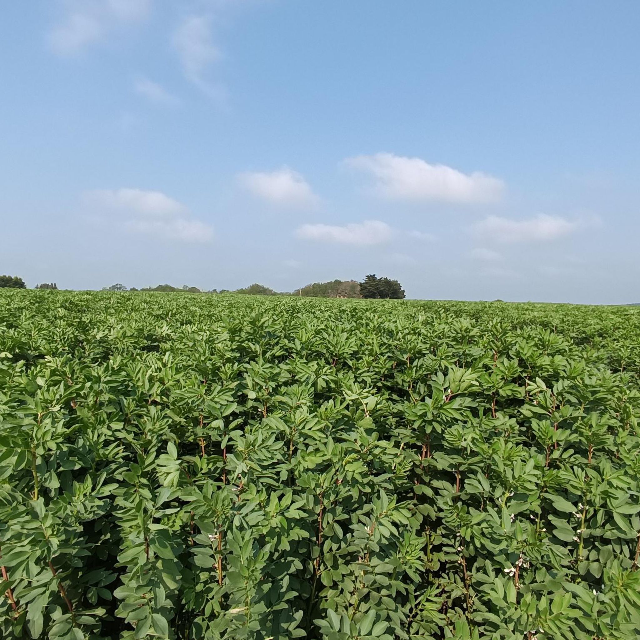
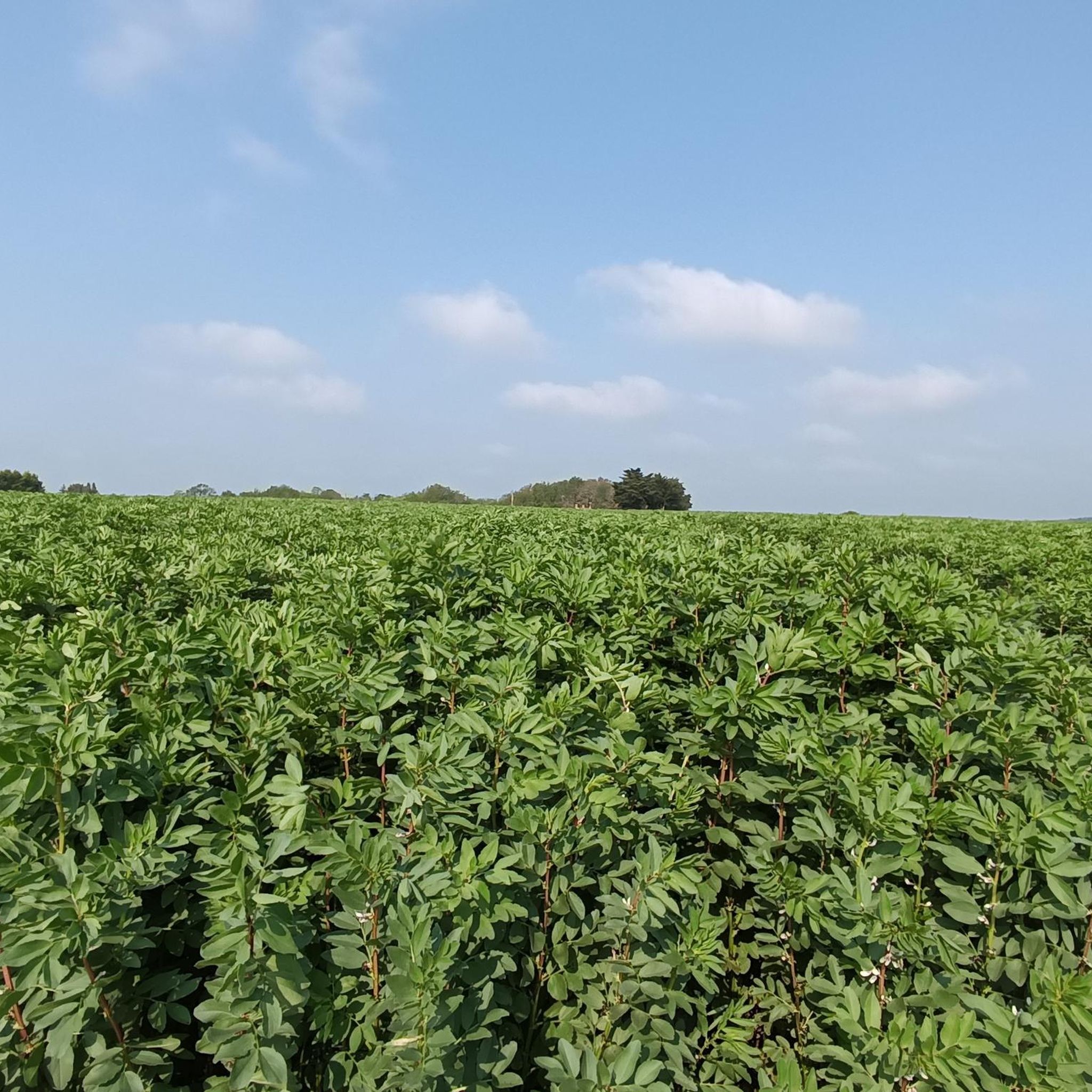
Hiking around Saint-Léger-Les-Vignes offers a network of trails through a predominantly flat landscape, characterized by rural paths and proximity to water features. The region features low elevation changes, making many routes accessible. Trails often lead through agricultural areas and along the edges of natural wetlands or lakes, providing varied scenery for outdoor activities.
Best hiking trails in Saint-Léger-Les-Vignes
- The most popular hiking route is Church of port saint Père – Le Port Hamoneau loop from Saint-Léger-les-Vignes, a 5.4 miles (8.6 km) moderate trail that takes 2 hours 13 minutes to complete, passing by historical sites and rural landscapes.
- Another top favourite among local hikers is View of Pierres Aiguës loop from Bouaye, a moderate 7.1 miles (11.5 km) path. This route offers views of the surrounding countryside and takes approximately 2 hours 55 minutes.
- Local hikers also love the Mévellière Park loop from Bouaye, a 4.0 miles (6.5 km) trail leading through parkland and natural areas, often completed in about 1 hour 40 minutes.
- Hiking around Saint-Léger-Les-Vignes is defined by rural paths, lakeside views, and wetland edges. The network offers options for various ability levels, from easy strolls to moderate excursions.
- The routes in Saint-Léger-Les-Vignes are highly rated by the komoot community with an average score of 4.5 stars from over 420 reviews. More than 2,700 hikers have used komoot to explore Saint-Léger-Les-Vignes's varied terrain.
Last updated: August 15, 2026
4.5
(6)
55
hikers
Moderate hike. Good fitness required. Easily-accessible paths. Suitable for all skill levels.
3.8
(5)
25
hikers
11.3km
02:53
30m
30m
Moderate hike. Good fitness required. Easily-accessible paths. Suitable for all skill levels.

Sign up for free
12
hikers
3.74km
00:57
10m
10m
Easy hike. Great for any fitness level. Easily-accessible paths. Suitable for all skill levels.
5.0
(2)
4
hikers
Moderate hike. Good fitness required. Easily-accessible paths. Suitable for all skill levels.
2
hikers
16.1km
04:10
90m
90m
Moderate hike. Good fitness required. Easily-accessible paths. Suitable for all skill levels.
Get access to more routes and recommendations from other explorers.
Sign up for free
Already have an account?
Our route recommendations are based on thousands of hikes, rides, and runs completed by other people on komoot.
Start today with a free account
Your next adventure awaits.
Login or Signup


Tips from the Community


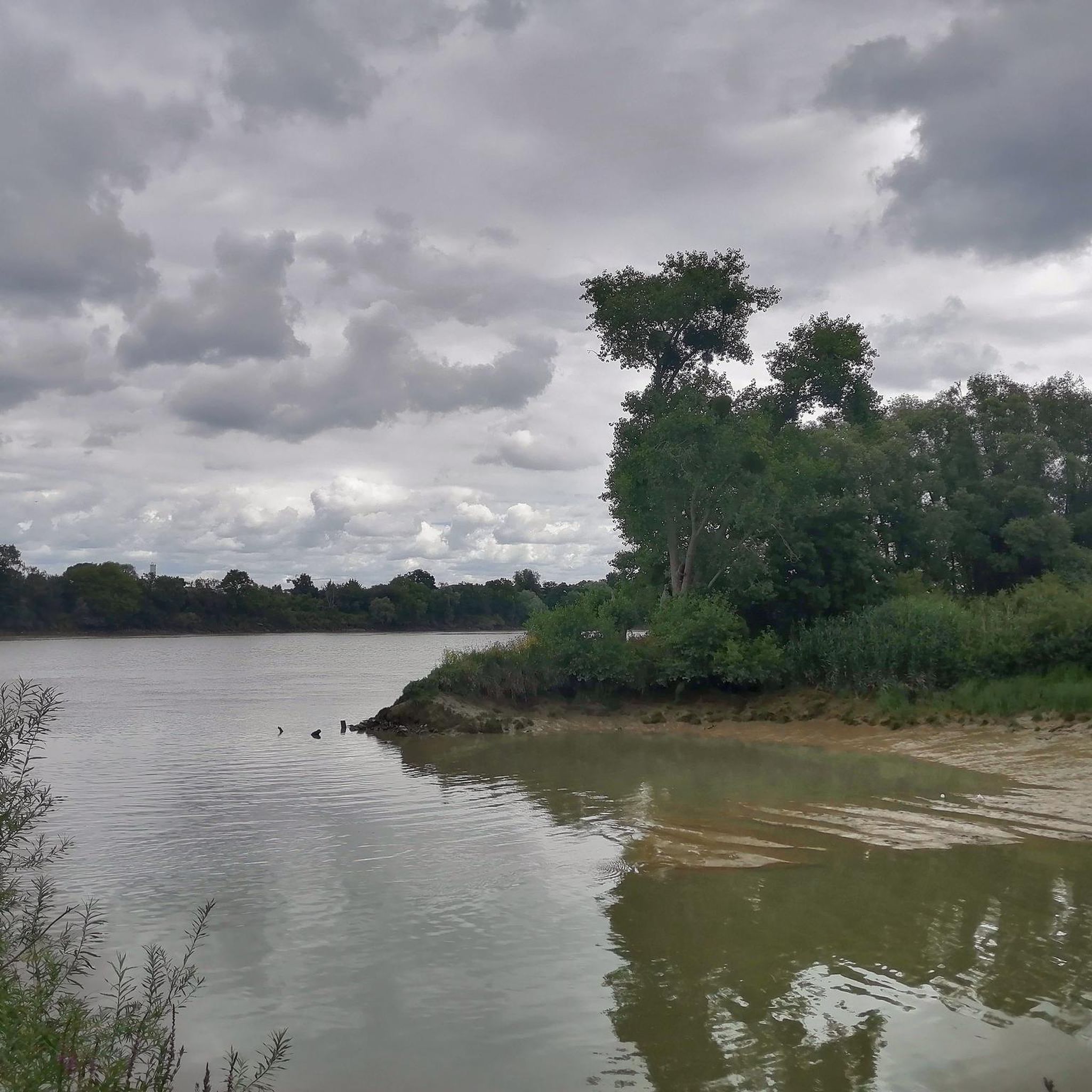
The largest natural plain lake and the second largest ornithological reserve in France, Lake Grand-Lieu offers magnificent lakeside landscapes. Here, you have to get off your bike to get as close as possible to its waters.
0
0

Magnificent view of the lake 👌
0
0


Arriving from La Chevroliere in the direction of Pont Saint Martin, turn off to cross the Ognon with the Bac in spring and summer, it's more pleasant
0
0

Peaceful little port on the Acheneau River. The place seems very popular with anglers.
1
0
Very good spot for a panoramic view of the lake. Bird observatory on the path on the right
1
0
Former port on Acheneau, in particular for the transport of lime, it is today a place apparently frequented for the fishing with the line.
1
0
Frequently Asked Questions
How many hiking trails are available around Saint-Léger-Les-Vignes?
There are nearly 200 hiking trails in the Saint-Léger-Les-Vignes area. These routes offer a variety of experiences, from easy strolls to more moderate excursions, primarily through rural landscapes and along water features.
Are there easy or beginner-friendly hiking trails in Saint-Léger-Les-Vignes?
Yes, Saint-Léger-Les-Vignes offers many easy and beginner-friendly trails due to its predominantly flat terrain. For example, the Mévellière Park loop from Bouaye is an easy 4.0-mile (6.5 km) route that takes about 1 hour 40 minutes to complete, leading through parkland and natural areas.
What kind of terrain can I expect on hikes around Saint-Léger-Les-Vignes?
The hiking trails around Saint-Léger-Les-Vignes are characterized by predominantly flat, rural paths with low elevation changes. You'll often find yourself walking through agricultural areas, along the edges of natural wetlands, and with views of lakes, providing varied and generally accessible scenery.
Are there any circular walks in the Saint-Léger-Les-Vignes area?
Yes, many routes in the area are circular, allowing you to start and end at the same point. An example is the View of Pierres Aiguës loop from Bouaye, a moderate 7.1-mile (11.5 km) path offering views of the surrounding countryside.
What are the typical durations for hikes in Saint-Léger-Les-Vignes?
Hiking durations vary, but many routes are suitable for half-day excursions. For instance, the Church of port saint Père – Le Port Hamoneau loop from Saint-Léger-les-Vignes is a moderate 5.4-mile (8.6 km) trail that typically takes around 2 hours 13 minutes to complete.
What natural attractions can I see while hiking near Saint-Léger-Les-Vignes?
The region is rich in natural beauty, especially its lakes and wetlands. You can explore areas like Etang de Roche Ballue or enjoy views of Lake Grand-Lieu, Pierre Aiguë site. Many trails offer scenic paths along these water bodies.
Are there any challenging hikes near Saint-Léger-Les-Vignes?
While the region is generally flat, there are a few routes that offer a bit more length, which can be challenging for some. Out of nearly 200 trails, 4 are classified as difficult. These longer routes provide a good workout, though significant elevation gain is rare.
What do other hikers say about the trails in Saint-Léger-Les-Vignes?
The trails in Saint-Léger-Les-Vignes are highly regarded by the komoot community, with an average rating of 4.5 stars from over 420 reviews. Hikers often praise the peaceful rural paths, the scenic lakeside views, and the well-maintained routes that make for enjoyable outings.
Are there less crowded hiking options around Saint-Léger-Les-Vignes?
Given the variety of trails, it's possible to find less crowded options, especially on weekdays or by exploring some of the lesser-known paths. The region's extensive network allows for dispersal, offering a tranquil experience away from busier spots. Consider routes like the View of Grand-Lieu Lake loop from Bouaye for a peaceful experience.
Is there public transport access to trailheads in Saint-Léger-Les-Vignes?
Public transport options to specific trailheads may be limited, as many routes start from smaller villages or rural areas. It is generally recommended to check local bus schedules or consider driving to access the starting points of hikes around Saint-Léger-Les-Vignes.
Where can I find parking for hikes in Saint-Léger-Les-Vignes?
Parking is typically available near the starting points of many trails, especially in villages or designated recreational areas. It's advisable to check the specific route details on komoot for information on recommended parking spots for each hike.
Are there any long-distance hiking routes in the area?
While many routes are shorter loops, there are longer options for those seeking more extensive walks. For example, the Le Port Hamoneau – Marais du Cheval loop from Saint-Léger-les-Vignes covers 7.5 miles (12 km) and takes approximately 3 hours 5 minutes, offering a more extended exploration of the wetlands and rural landscapes.
Most popular routes around Saint-Léger-Les-Vignes
Most popular attractions around Saint-Léger-Les-Vignes

Get inspired with the komoot mobile app


Explore more
Browse the best Hikes in other regions.
