The best walks and hikes around Saint-Martin-Le-Beau
4.5
(439)
3,055
hikers
248
hikes
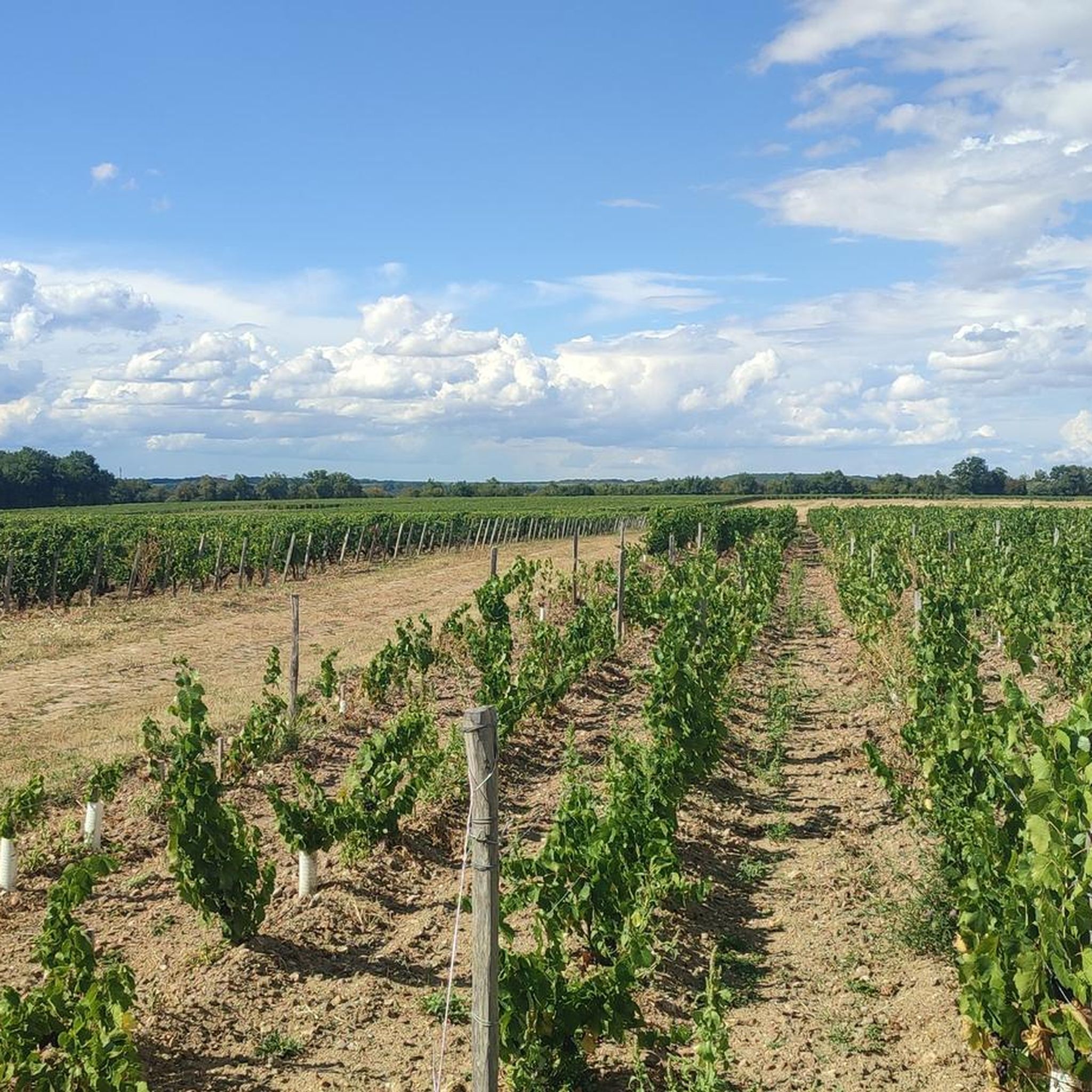
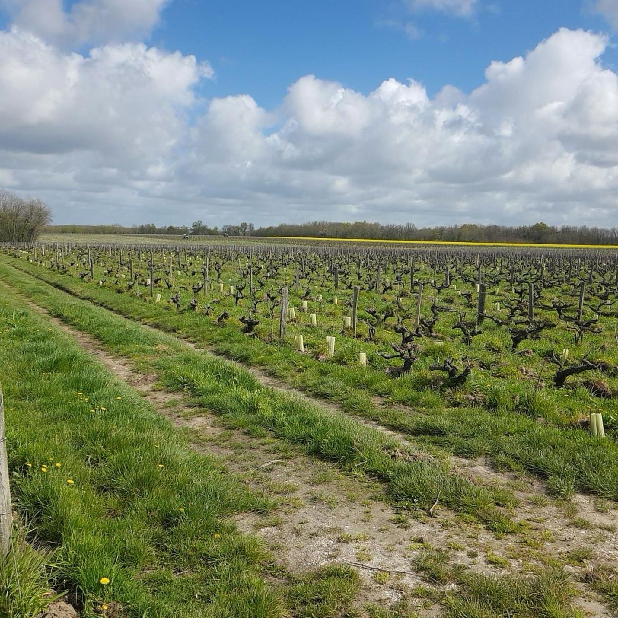
Hiking around Saint-Martin-Le-Beau offers diverse landscapes, characterized by extensive agricultural areas, predominantly vineyards, covering about 50% of the territory. Approximately 30% of the municipal area is forested, including proximity to the Amboise forest. The region's southern limit is defined by the Cher River, providing riverside walking opportunities. These features combine to create varied terrain for outdoor activities.
Best hiking trails around Saint-Martin-Le-Beau
- The most popular hiking route is Azay-sur-Cher loop, a 9.7 miles (15.7 km) trail that takes 4…
Last updated: July 6, 2026
4.8
(4)
15
hikers
15.7km
04:04
90m
100m
This moderate 9.7-mile (15.7 km) hiking loop in Azay-sur-Cher offers riverside views, historical châteaux, and the Nitray Dam.
4.2
(19)
84
hikers
12.3km
03:08
50m
50m
Moderate hike. Good fitness required. Easily-accessible paths. Suitable for all skill levels.

Sign up for free
4.2
(18)
78
hikers
9.97km
02:31
20m
20m
Moderate hike. Good fitness required. Easily-accessible paths. Suitable for all skill levels.
3.0
(1)
12
hikers
11.5km
02:59
70m
70m
Moderate hike. Good fitness required. Easily-accessible paths. Suitable for all skill levels.
4.0
(2)
6
hikers
Easy hike. Great for any fitness level. Easily-accessible paths. Suitable for all skill levels.
Get access to more routes and recommendations from other explorers.
Sign up for free
Already have an account?
Our route recommendations are based on thousands of hikes, rides, and runs completed by other people on komoot.
Start today with a free account
Your next adventure awaits.
Login or Signup

Tips from the Community

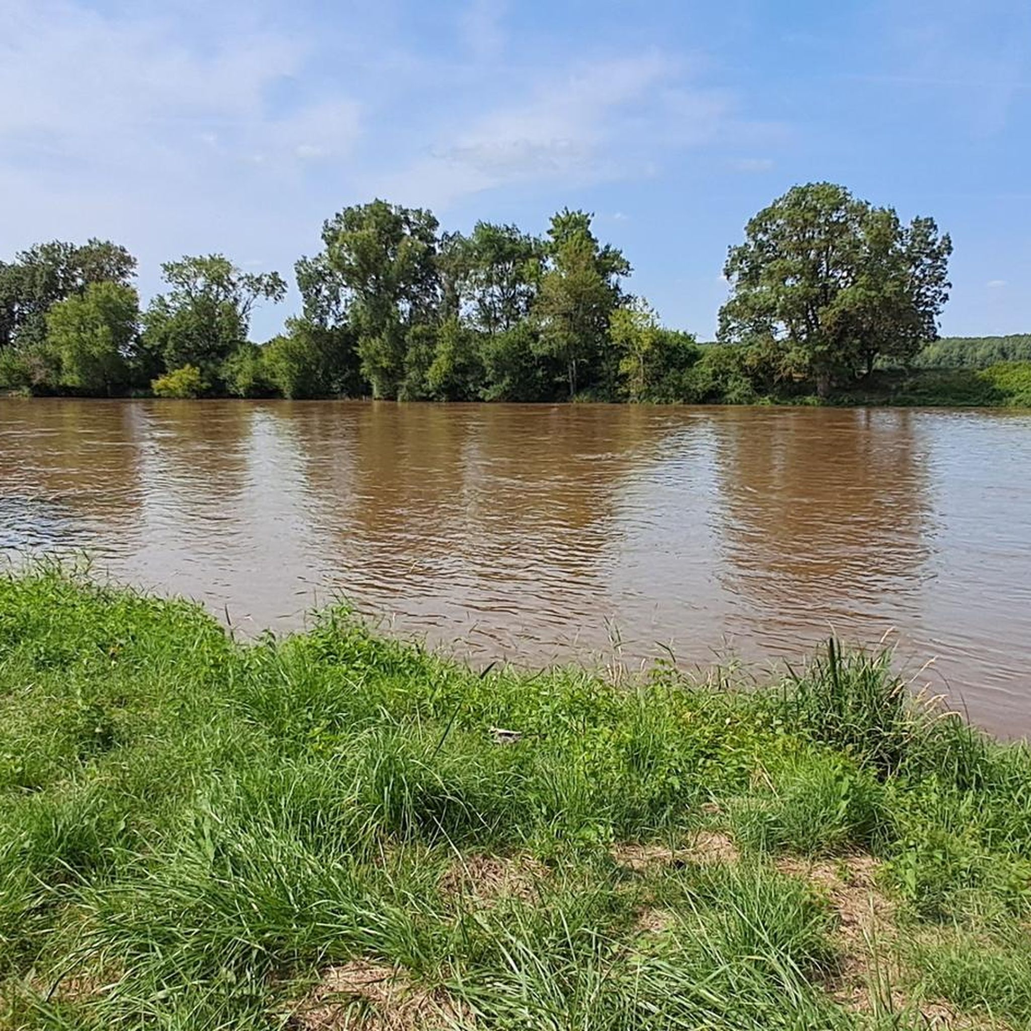
The Cher is a French river, which flows through the departments of Allier, Cher, Creuse, Indre, Indre-et-Loire, Loir-et-Cher and Puy-de-Dôme, in the Auvergne-Rhône-Alpes, Centre-Val de Loire and Nouvelle-Aquitaine regions.
0
0


Lock along the Cher where you may see moored barges
1
0

This small path used by locals on walks is also a delight for explorers when it comes to gaining height to observe the Loire. Cyclist or pedestrian, slow down to enjoy a 180 degree panorama.
0
1

This bridge offers a superb view of the Cher. The lane is quite narrow, so watch out for cars.
0
0
The Cher is a tributary of the Loire, largely domesticated at the time of river trade. 365 kilometers long, it originates in the Creuse to flow into Indre-et-Loire, in the Loire. From here, take advantage of the benches and tables to rest and admire this aquatic ribbon. With a little luck, you will be able to observe the few kingfishers that inhabit it. In one of my notebooks, I wrote about the Cher: “From my tent, I observe a Cher always so serene and soothing. The water progresses without eddies, at an even gentler pace than that of life. The wind has died down and the birds are singing. When I look up from my notebook, luck surprises me like Providence. Kingfishers sweep the riverbank in search of their meal. The silvery blue color of their feathers reminds me of the sublime color of their eyes”.
1
0
The Nitray dam is a needle dam established on the Cher. Built in 1841, it was intended to make the Cher navigable. However, the sharp drop in river traffic during the 20th century made the tributary of the Loire unsuitable for commercial navigation. Only pleasure boats pass through it now. It was classified in 2011 as a historical monument.
1
0
Frequently Asked Questions
How many hiking trails are available around Saint-Martin-Le-Beau?
There are over 260 hiking routes around Saint-Martin-Le-Beau, offering a wide variety of options. These include more than 150 easy trails, nearly 100 moderate routes, and a few more challenging options for experienced hikers.
What kind of landscapes can I expect to see while hiking in Saint-Martin-Le-Beau?
Hiking in Saint-Martin-Le-Beau offers a diverse mix of landscapes. You'll find extensive agricultural areas, particularly vineyards, covering about 50% of the territory. Approximately 30% of the municipal area is forested, including proximity to the expansive Amboise Forest. The region's southern limit is defined by the Cher River, providing scenic riverside walking opportunities. This combination creates varied terrain with river valleys, woodlands, and vineyards.
Are there any family-friendly hiking options in the area?
Yes, Saint-Martin-Le-Beau offers many easy trails suitable for families. For example, the Châteaux Trail – Nitray Dam loop from Azay-sur-Cher is an easy 7.4 km route that takes less than two hours, perfect for a leisurely family outing. Another good option is the Viewpoint over the Cher loop from Azay-sur-Cher, a shorter 5 km easy trail.
Can I find circular hiking routes around Saint-Martin-Le-Beau?
Many of the trails in Saint-Martin-Le-Beau are circular, allowing you to start and end at the same point. A popular choice is the Azay-sur-Cher loop, a 15.7 km moderate trail that offers varied scenery. Another excellent circular option is the View of the Cher River – Nitray Dam loop from Château de Nitray, which is 12.3 km long.
What are some notable landmarks or points of interest I can see while hiking?
The region around Saint-Martin-Le-Beau is rich in historical and natural landmarks. You can explore the grounds of magnificent châteaux like Château de Chenonceau, Château d'Amboise, and Le Clos Lucé – Leonardo da Vinci's last residence. Many trails also offer views of the Cher River, and you can experience the serene Amboise Forest.
Are there any trails that follow the Cher River?
Yes, the Cher River forms the southern boundary of the region, and several trails offer beautiful riverside walks. The Nitray Dam – Viewpoint over the Cher loop from Azay-sur-Cher is a moderate 10 km path that follows the river and provides scenic views. The View of the Cher River – Nitray Dam loop from Château de Nitray also leads through riverside areas.
What is the best time of year to go hiking in Saint-Martin-Le-Beau?
The Loire Valley, including Saint-Martin-Le-Beau, is beautiful for hiking from spring through autumn. Spring brings blooming vineyards and mild temperatures, while summer offers warm weather perfect for riverside strolls. Autumn is particularly scenic with the changing colors of the vineyards and forests. Even winter can be pleasant for crisp, quiet walks, though some services might be reduced.
What do other hikers say about the trails in Saint-Martin-Le-Beau?
The trails in Saint-Martin-Le-Beau are highly rated by the komoot community, with an average score of 4.35 stars from over 470 reviews. Hikers often praise the varied scenery, including the charming vineyards, peaceful forests, and picturesque river views. Many appreciate the well-maintained paths and the options available for different fitness levels.
Are there opportunities for forest walks in Saint-Martin-Le-Beau?
Absolutely. Saint-Martin-Le-Beau lies at the edge of the expansive Amboise Forest, with forests comprising about 30% of the municipal area. This provides numerous opportunities for woodland hikes, offering shaded paths and a chance to immerse yourself in the natural environment. You can find trails that lead directly into or alongside the forest.
Is it possible to combine hiking with visiting vineyards in Saint-Martin-Le-Beau?
Yes, Saint-Martin-Le-Beau is located in a region with extensive vineyards, which make up about 50% of its territory. Many hiking routes traverse these vineyard landscapes, offering unique scenic paths, especially appealing during growing seasons. You can enjoy the rural scenery and potentially find opportunities for wine tasting nearby after your hike.
How accessible are the hiking trails by public transport?
While specific public transport links directly to trailheads within Saint-Martin-Le-Beau might be limited, the region is generally well-connected. Major towns like Amboise, which is close by, have train stations and bus services. From these points, you may need to consider local taxis or cycling to reach specific starting points for hikes. Planning ahead is recommended.
Are there any easy trails suitable for a quick walk?
Yes, there are plenty of easy trails perfect for a quick walk. The Viewpoint over the Cher loop from Azay-sur-Cher is a good example, being only 5 km long and taking about 1 hour 16 minutes to complete. These shorter, easier routes are ideal for a relaxed stroll to enjoy the local scenery.
Most popular routes around Saint-Martin-Le-Beau
Most popular attractions around Saint-Martin-Le-Beau

Get inspired with the komoot mobile app


Explore more
Browse the best Hikes in other regions.
