The best running trails around Pont-Saint-Martin
4.4
(276)
16,310
runners
24
runs
Jogging routes around Pont-Saint-Martin in Italy's Aosta Valley traverse diverse terrain, from the Lys River valley to wooded slopes and vineyard-covered hills. The region is characterized by its position where the Lys River meets the Dora Baltea, offering varied landscapes for running. Paths range from gentle riverside routes to more challenging trails with elevation changes into the surrounding hills. This area provides a blend of natural scenery and historical features for runners.
Best jogging routes around Pont-Saint-Martin
- The most popular…
Last updated: June 27, 2026
10
runners
9.02km
00:56
50m
50m
Moderate run. Good fitness required. Mostly paved surfaces. Suitable for all skill levels.
5.0
(1)
6
runners
7.54km
00:49
30m
30m
Moderate run. Good fitness required. Mostly paved surfaces. Suitable for all skill levels.

Sign up for free
9
runners
6.21km
00:39
40m
40m
Moderate run. Good fitness required. Mostly paved surfaces. Suitable for all skill levels.
9
runners
5.53km
00:34
20m
20m
Moderate run. Good fitness required. Mostly paved surfaces. Suitable for all skill levels.
5.0
(1)
6
runners
5.70km
00:37
20m
20m
Moderate run. Good fitness required. Mostly paved surfaces. Suitable for all skill levels.
Get access to more routes and recommendations from other explorers.
Sign up for free
Already have an account?
Our route recommendations are based on thousands of hikes, rides, and runs completed by other people on komoot.
Start today with a free account
Your next adventure awaits.
Login or Signup

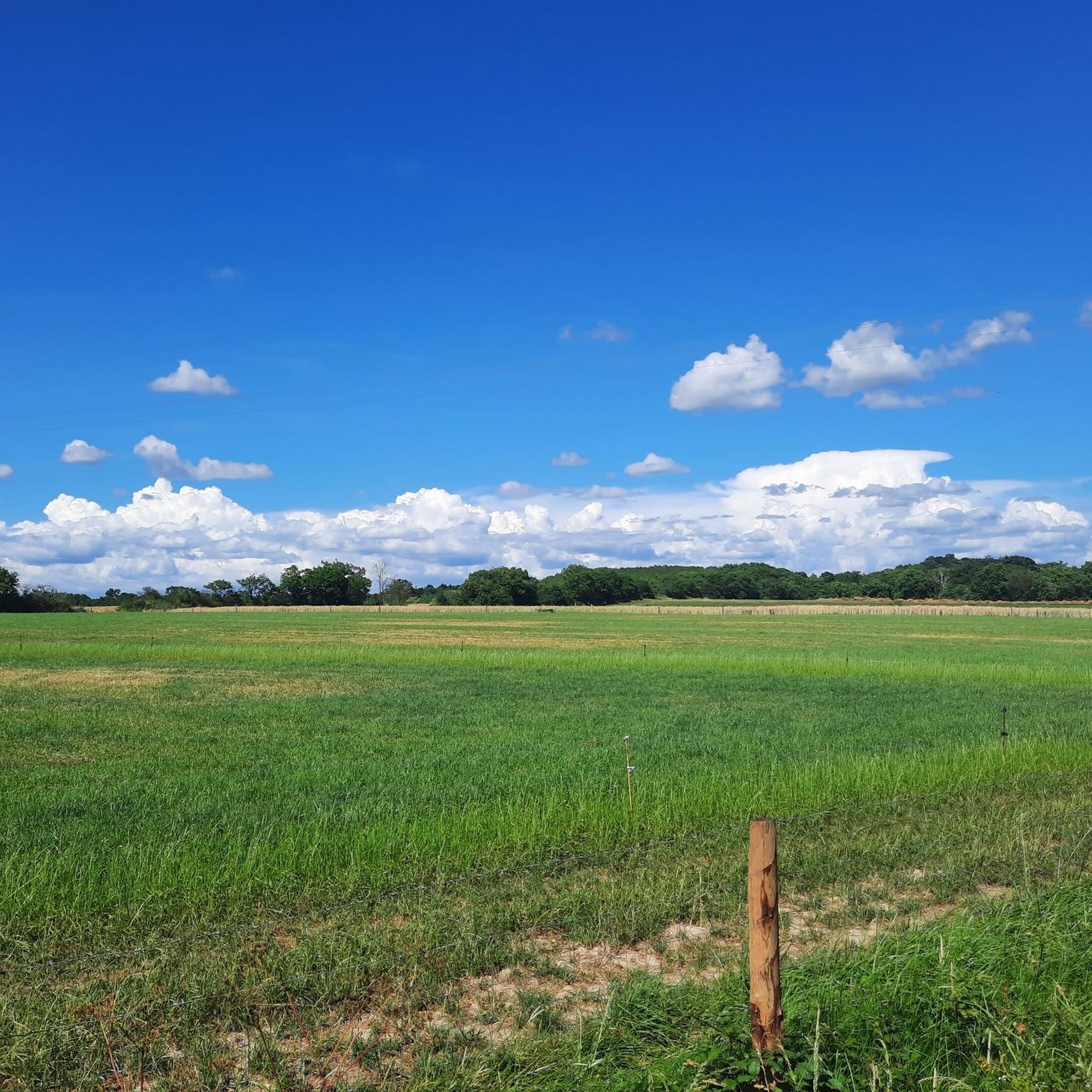
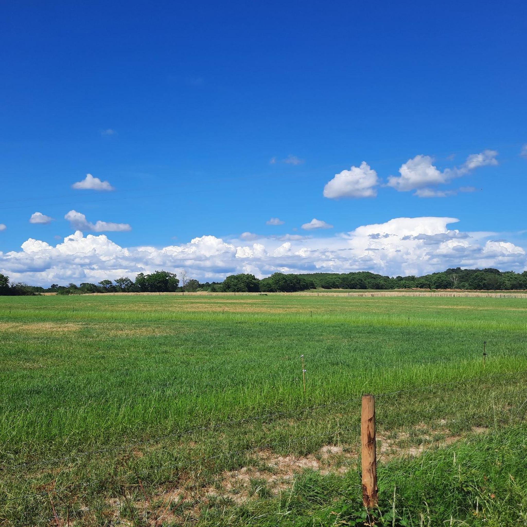
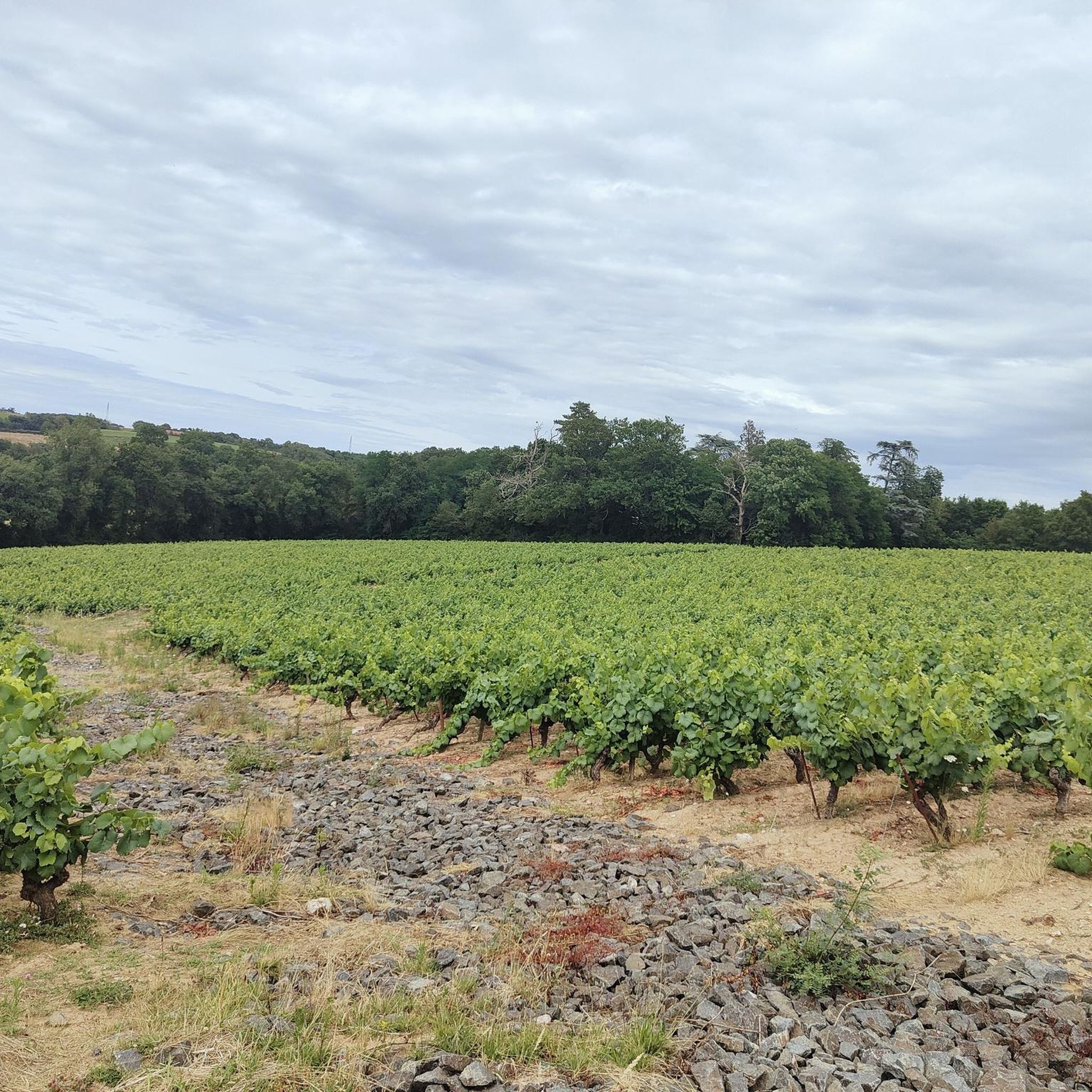
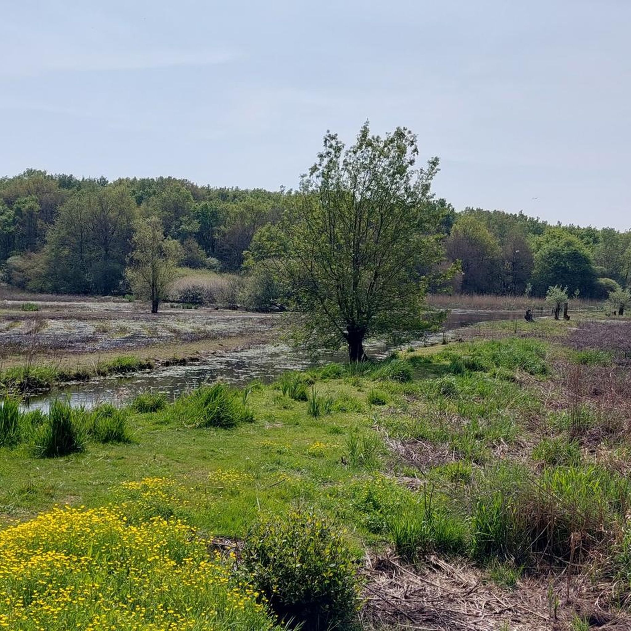
Tips from the Community

Very nice multi-leisure area where you can come with your family to play, picnic, fish, walk, play sports, ..., all around this large pond which also runs along the Ognon river. There are several accesses including 2 by mountain bike / Gravel.
3
1
Frequently Asked Questions
How many running routes are available around Pont-Saint-Martin?
There are over 15 dedicated running routes around Pont-Saint-Martin. Most of these, about 17, are considered moderate in difficulty, with one easier option available for those looking for a gentler run.
What kind of terrain can I expect on jogging trails in Pont-Saint-Martin?
Jogging routes in Pont-Saint-Martin offer diverse terrain. You'll find paths traversing lush valleys alongside the Lys River, as well as more challenging trails with elevation changes into the surrounding wooded slopes and vineyard-covered hills. This variety caters to different fitness levels, from easy runs to more demanding ascents.
Are there any historical landmarks or points of interest along the running routes?
Yes, many routes incorporate historical features. You can run across the ancient Roman Bridge, a 1st-century BC landmark, or explore paths near the Roman Arch and Road of Donnas, where ancient cart tracks are still visible. Some trails also lead through medieval streets, offering a blend of physical activity and cultural exploration.
What are some scenic viewpoints or natural features to look out for while running?
The region offers breathtaking natural beauty. You'll find routes along the serene Lys River, through picturesque terraced vineyards, and up wooded slopes. From higher vantage points, you can enjoy stunning views of towering mountains like Punta Leretta, Punta Figlieu, Mount Mars, Mount Rosso, and Mount Pietra Bianca, especially from areas like Lake Vargno.
Are there any easy or beginner-friendly running routes in Pont-Saint-Martin?
While most routes are moderate, there is at least one easy running option available. Generally, routes along the Lys River valley tend to be flatter and more suitable for beginners or those seeking a relaxed run.
Can I find circular running routes in the area?
Yes, many of the running trails around Pont-Saint-Martin are designed as loops. For example, the Filée Park Pond loop from La Gautellerie and the Church of Pont-Saint-Martin loop from Pont-Saint-Martin are popular circular options, allowing you to start and finish in the same location.
What do other runners say about the trails in Pont-Saint-Martin?
The running routes in Pont-Saint-Martin are highly rated by the komoot community, with an average score of 4.5 stars from over 200 reviews. Runners often praise the varied terrain, the blend of natural scenery with historical elements, and the well-maintained paths.
Are there any running routes that pass by a lake or water feature?
Yes, the Filée Park Pond loop from La Gautellerie guides runners around the tranquil Filée Park Pond, offering a peaceful setting for your run. The Lys River also features prominently in many valley routes.
Are there options for longer, more challenging runs for experienced runners?
Absolutely. Beyond the moderate routes, the region offers more challenging options for those with very good fitness. For instance, the 'Col Finestra – Col de La Cou loop' (22.2 km) is designed for experienced runners and requires sure-footedness, taking you into higher elevations.
What is the typical duration for a running route in Pont-Saint-Martin?
The duration varies depending on the route's length and your pace. Many popular moderate routes, such as the Running loop from La Gautellerie (9.5 km), can be completed in about 1 hour. Shorter loops like the Church of Pont-Saint-Martin loop from Pont-Saint-Martin (7.5 km) take around 49 minutes.
Are there any specific routes that are particularly good for exploring the town's history?
The Church of Pont-Saint-Martin loop from Pont-Saint-Martin is a great option, leading through local historical areas. Additionally, the 'Roman Arch and Road of Donnas loop from Pont-Saint-Martin' (19.7 km) offers an immersive experience through historical and natural scenery, including ancient Roman structures.
Most popular routes around Pont-Saint-Martin
Most popular attractions around Pont-Saint-Martin

Get inspired with the komoot mobile app


Explore more
Browse the best Running Trails & Routes in other regions.
