The best walks and hikes around Labastide-D'Anjou
4.7
(66)
605
hikers
67
hikes
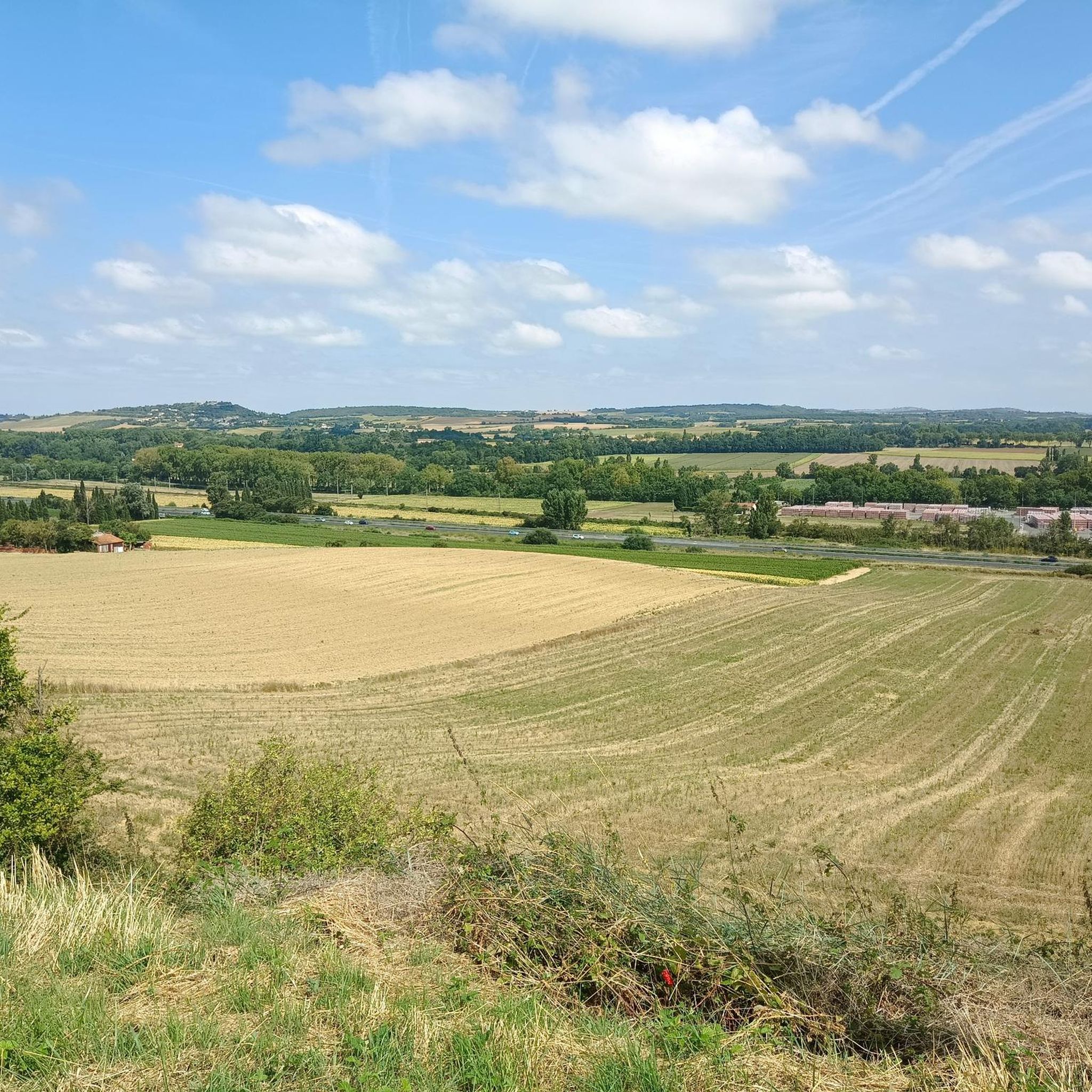
Hiking around Labastide-D'Anjou offers diverse landscapes characterized by rolling hills, lush greenery, and serene rivers. The region features varied terrain including forests and pathways alongside the historic Canal du Midi, providing a tranquil setting for outdoor exploration. Distant views of the Pyrenees mountains enhance the scenic backdrop.
Best hiking trails in Labastide-D'Anjou
- The most popular hiking route is Old Naurouze Basin – Canal du midi loop from Montferrand, an 8.0 miles (12.8 km) trail that takes 3 hours 24…
Last updated: August 28, 2026
4.3
(3)
16
hikers
Moderate hike. Good fitness required. Easily-accessible paths. Suitable for all skill levels.
4
hikers
9.04km
02:25
100m
100m
Moderate hike. Good fitness required. Easily-accessible paths. Suitable for all skill levels.

Sign up for free
3.0
(1)
4
hikers
8.04km
02:09
90m
90m
Moderate hike. Good fitness required. Easily-accessible paths. Suitable for all skill levels.
3
hikers
10.9km
02:47
30m
30m
Moderate hike. Good fitness required. Easily-accessible paths. Suitable for all skill levels.
7
hikers
2.42km
00:37
10m
10m
Easy hike. Great for any fitness level. Easily-accessible paths. Suitable for all skill levels.
Get access to more routes and recommendations from other explorers.
Sign up for free
Already have an account?
Our route recommendations are based on thousands of hikes, rides, and runs completed by other people on komoot.
Start today with a free account
Your next adventure awaits.
Login or Signup

Tips from the Community

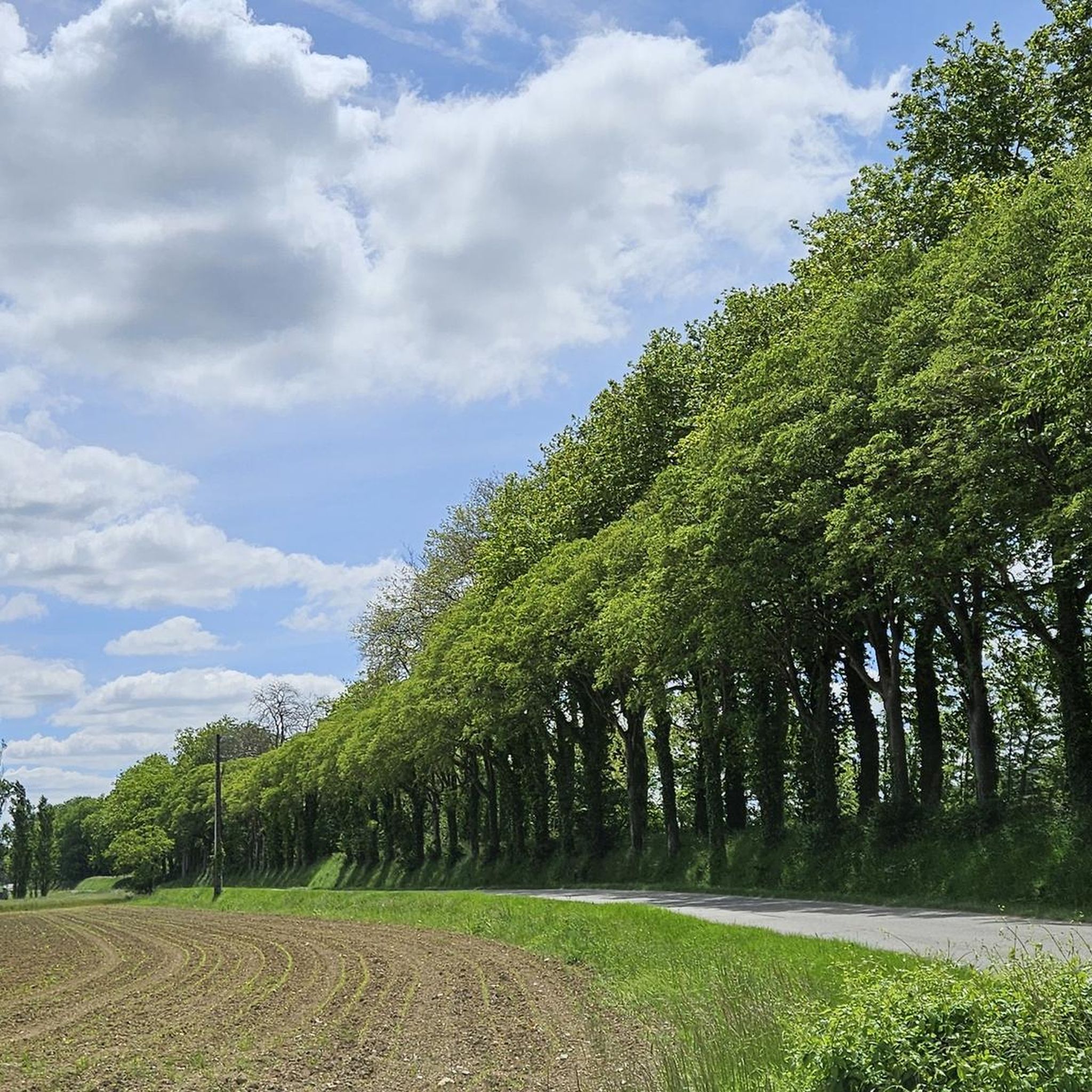
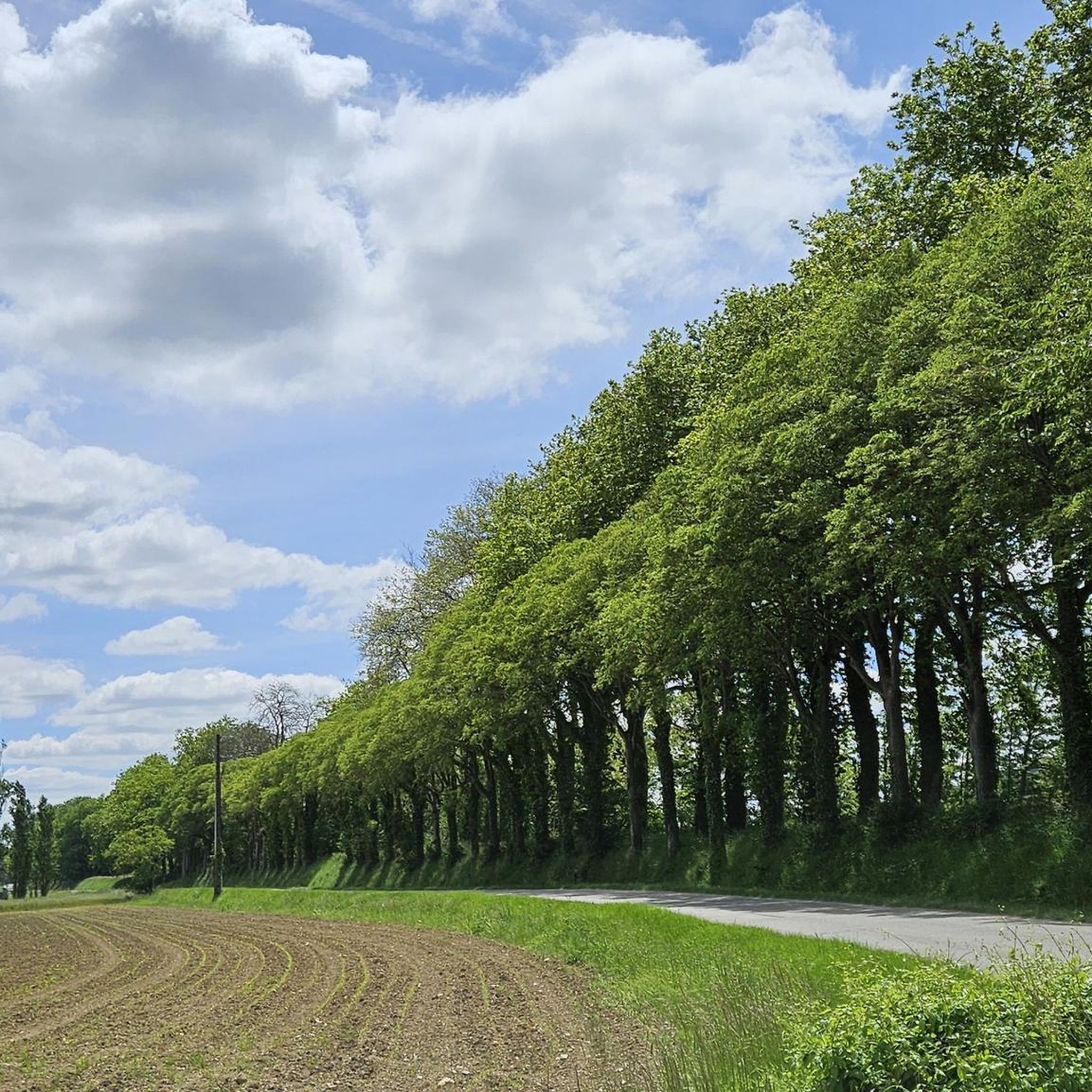
To visit: Naurouze (Water divide on the Canal du Midi, plane tree alley, octagonal basin, Ocean lock...). Archaeological site from the 3rd and 4th centuries (thermae, sarcophagi...). Heights of the Village (Aéropostale Lighthouse, Chappe telegraph tower, 14th-century castle gate, belvedere).
0
0
The Canal du Midi, formerly Canal Royal, is a 17th-century technical feat designed by Pierre-Paul Riquet to connect the Atlantic to the Mediterranean. Today, it is above all a place for relaxation and discovery, where heritage, nature, and conviviality blend together.
0
0
It is sometimes called the Naurouze lock because it is the closest lock to the Naurouze threshold. The Ocean lock marks the beginning of the ascending section of the canal when going from west to east.
0
0
In May 1787, Thomas Jefferson — then future President of the United States and ambassador to France — traveled along the Canal du Midi. Commemorative plaques mark his historic passage, notably on the lock house of the Ocean lock (Montferrand / Négra) and in the village of Le Somail.
0
0
The obelisk of Naurouze was built between 1825 and 1827 in honor of Riquet, on the stones of Naurouze, and measures 20 meters high. The Naurouze threshold, whose symbol is the obelisk, constitutes the highest point of the Canal du Midi, which connects the Mediterranean to the Atlantic, and separates the Massif Central (to the north) from the Pyrenees (to the south).
0
0
Le Seuil de Naurouze is a strategic location in the operation and water supply of the Canal du Midi. The highest point on the canal's route, it is the birthplace as a watershed. Framed by the Ocean lock and the Mediterranean lock, it is from this site that the waters carried by the Rigole de la Plaine are distributed from one slope to the other.
0
0
The Seuil de Naurouze is a strategic location in the operation and water supply of the Canal du Midi. The highest point on the canal's route, it is the birthplace as a watershed. Flanked by the Ocean lock and the Mediterranean lock, it is from this site that the waters carried by the Rigole de la Plaine are distributed from one slope to the other.
0
0
The Naurouze Mill is a flour mill built in 1670 on the feeding channel of the Canal du Midi (a UNESCO World Heritage historic monument) and which evolved into an industrial mill between 1844 and 1985.
0
0
Frequently Asked Questions
How many hiking trails are available around Labastide-D'Anjou?
There are over 65 hiking routes in the Labastide-D'Anjou area, catering to various preferences and skill levels. You'll find a wide selection of trails, from easy strolls to more challenging hikes.
What kind of terrain can I expect on the hiking trails in Labastide-D'Anjou?
The region offers a diverse landscape, from the gentle rolling hills of the Lauragais furrow to paths alongside the historic Canal du Midi and the Rigole de la Plaine. You'll encounter vibrant yellow sunflower fields, lush green meadows, and interspersed woodlands, with some routes providing panoramic views towards the Pyrenean range and the Montagne Noire.
Are there easy hiking trails suitable for beginners or casual walkers?
Yes, Labastide-D'Anjou has plenty of easy options. Approximately half of the trails, 33 out of 65, are rated as easy. An example is the Écluse de l'Océan – Old Naurouze Basin loop from Montferrand, which is a shorter, gentle walk.
What are the typical distances and durations for hikes in this area?
Hikes in Labastide-D'Anjou vary in length. For instance, the Old Naurouze Basin – Canal du midi loop from Montferrand is about 12.8 km (8.0 miles) and takes around 3 hours 24 minutes. Shorter options like the Old Naurouze Basin – Naurouze Summit loop from Montferrand cover about 4.7 km (2.9 miles) in under 1.5 hours.
Are there any circular hiking routes available?
Yes, many of the trails in Labastide-D'Anjou are circular, offering convenient starting and ending points. Examples include the Naurouze Summit – Old Naurouze Basin loop from Montferrand and the Écluse de l'Océan – Old Naurouze Basin loop from Labastide-d'Anjou, allowing you to return to your starting point without retracing your steps.
What interesting landmarks or attractions can I see along the trails?
The region is rich in historical and natural sights. Many trails follow the UNESCO World Heritage site of the Canal du Midi. You can also explore the Écluse de l'Océan, which marks the Canal du Midi's highest point and the watershed between the Atlantic and the Mediterranean. The Grand Bassin in Castelnaudary is another notable point of interest nearby.
What do other hikers enjoy most about hiking in Labastide-D'Anjou?
The area is highly rated by the komoot community, with an average score of 4.6 stars from over 60 reviews. Hikers often praise the tranquil setting, the picturesque routes along the Canal du Midi, and the diverse scenery that includes rolling hills and distant views of the Pyrenees.
Are there family-friendly hiking options in Labastide-D'Anjou?
Absolutely. With a significant number of easy and moderate trails, many routes are suitable for families. The gentle paths along the Canal du Midi, for instance, provide a safe and enjoyable environment for walks with children, offering flat terrain and interesting sights like the locks.
Is Labastide-D'Anjou a good destination for dog-friendly hikes?
While specific dog-friendly designations aren't always noted, the rural nature of Labastide-D'Anjou and its extensive network of paths along canals and through woodlands generally make it welcoming for dogs. Always ensure your dog is under control, especially near agricultural areas or wildlife, and carry waste bags.
What is the best time of year to go hiking in Labastide-D'Anjou?
The region is beautiful throughout much of the year. Spring and autumn offer pleasant temperatures and vibrant colors, with blooming wildflowers or changing foliage. Summer can be warm, but the shaded paths along the Canal du Midi provide cooler options. The sight of yellow sunflower fields in bloom during summer is particularly stunning.
Are there any routes that offer panoramic views?
Yes, several routes in the region ascend to the Lauragais ridges, providing breathtaking panoramic views. From these vantage points, you can often see the Pyrenean range, the Montagne Noire, and charming perched villages dotting the landscape.
Most popular routes around Labastide-D'Anjou
Most popular attractions around Labastide-D'Anjou

Get inspired with the komoot mobile app


Explore more
Browse the best Hikes in other regions.
