Top 5 Mountain Passes around Mérindol-Les-Oliviers
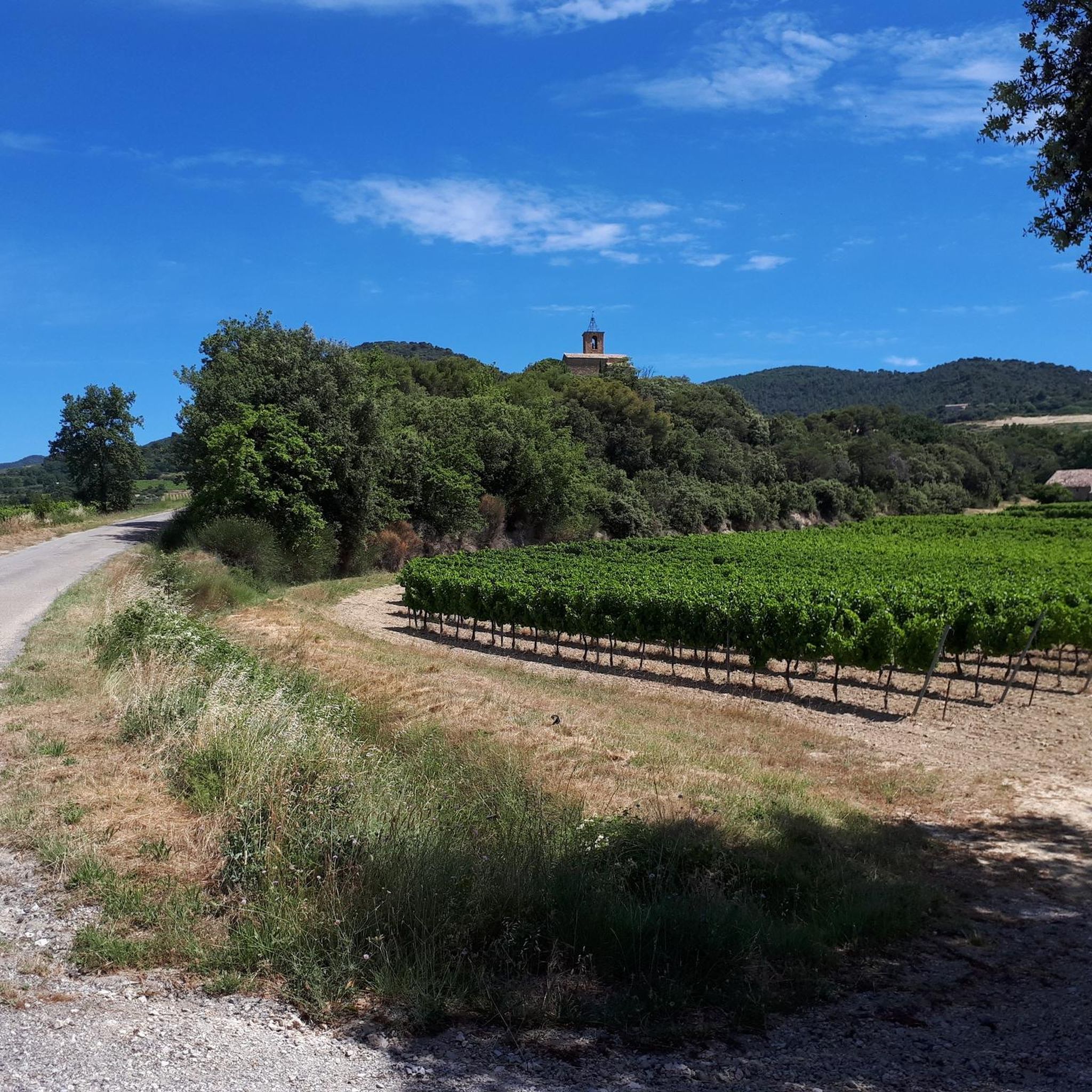
Best mountain passes around Mérindol-Les-Oliviers are situated in the Drôme Provençale region of France, a mountainous area within the Baronnies Provençales massif. This locale offers various opportunities for experiencing mountain passes, primarily for hiking and cycling. The region provides panoramic views over the valley, encompassing Mont Ventoux, the Dentelles de Montmirail, and the Rhône Valley, with landscapes featuring shrubland, forests, and olive groves.
Best mountain passes around Mérindol-Les-Oliviers
- The most popular mountain passes is Chaîne Pass, a mountain pass…
Last updated: June 26, 2026
Chaîne Pass
Highlight • Mountain Pass
Translated by Google •
Tip by

Col de la croix rouge (507m)
Highlight • Mountain Pass
Coming from Mirabel to Baronnies, the climb is pleasant. Only the last kilometer offers a much steeper slope. (up to …
Translated by Google •
Tip by

Sign up now to discover places like this
Get recommendations on the best single tracks, peaks, & plenty of other exciting outdoor places.
Sign up for free
Col d'Ey
Highlight • Mountain Pass
Translated by Google •
Tip by
Propiac Pass
Highlight • Mountain Pass
Translated by Google •
Tip by

Pas du Loup
Highlight • Mountain Pass
Translated by Google •
Tip by

Sign up for free to discover even more mountain passes around Mérindol-Les-Oliviers.
Sign up for free
Already have an account?
Start today with a free account
Your next adventure awaits.
Login or Signup
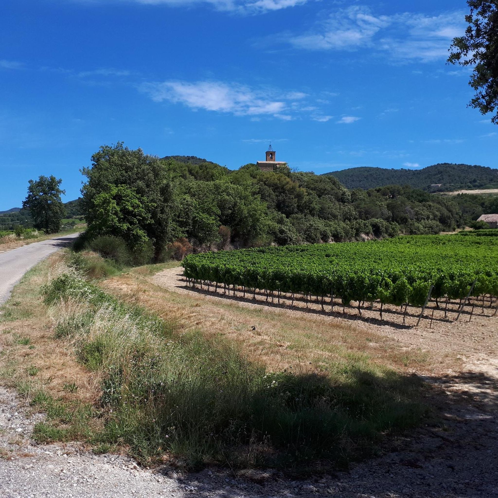
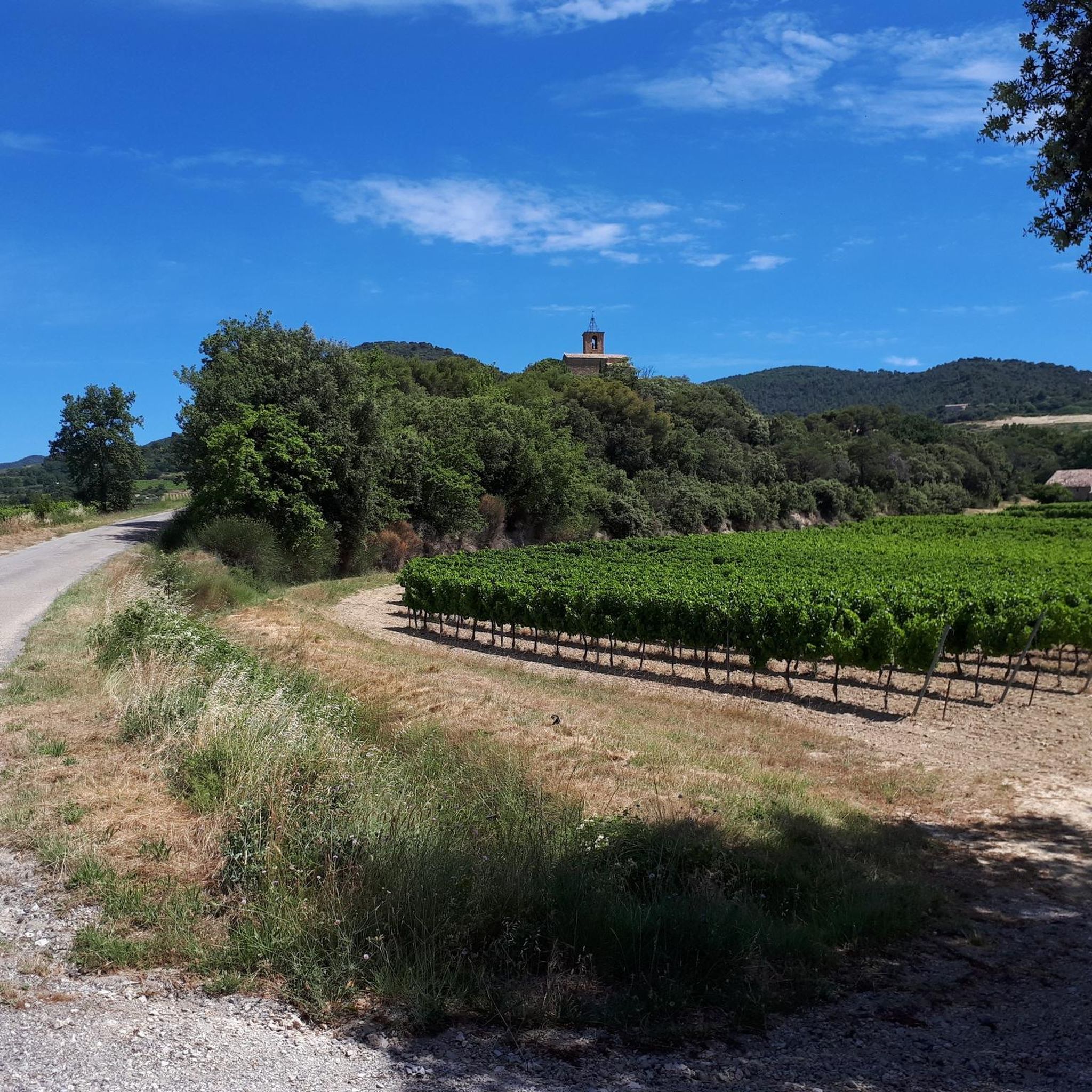
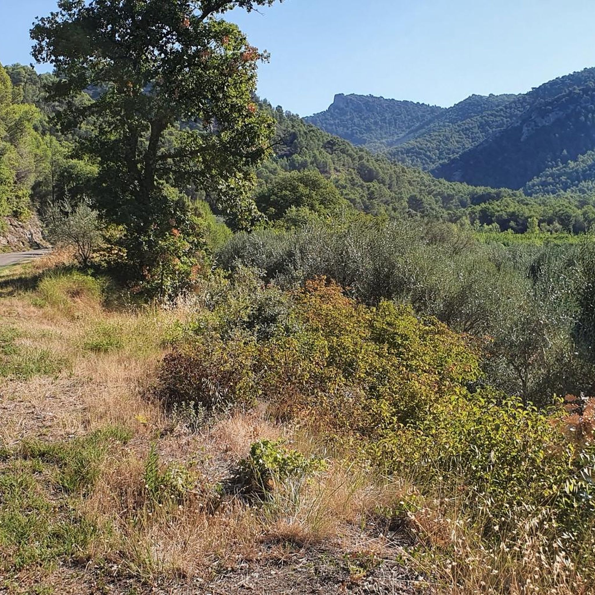
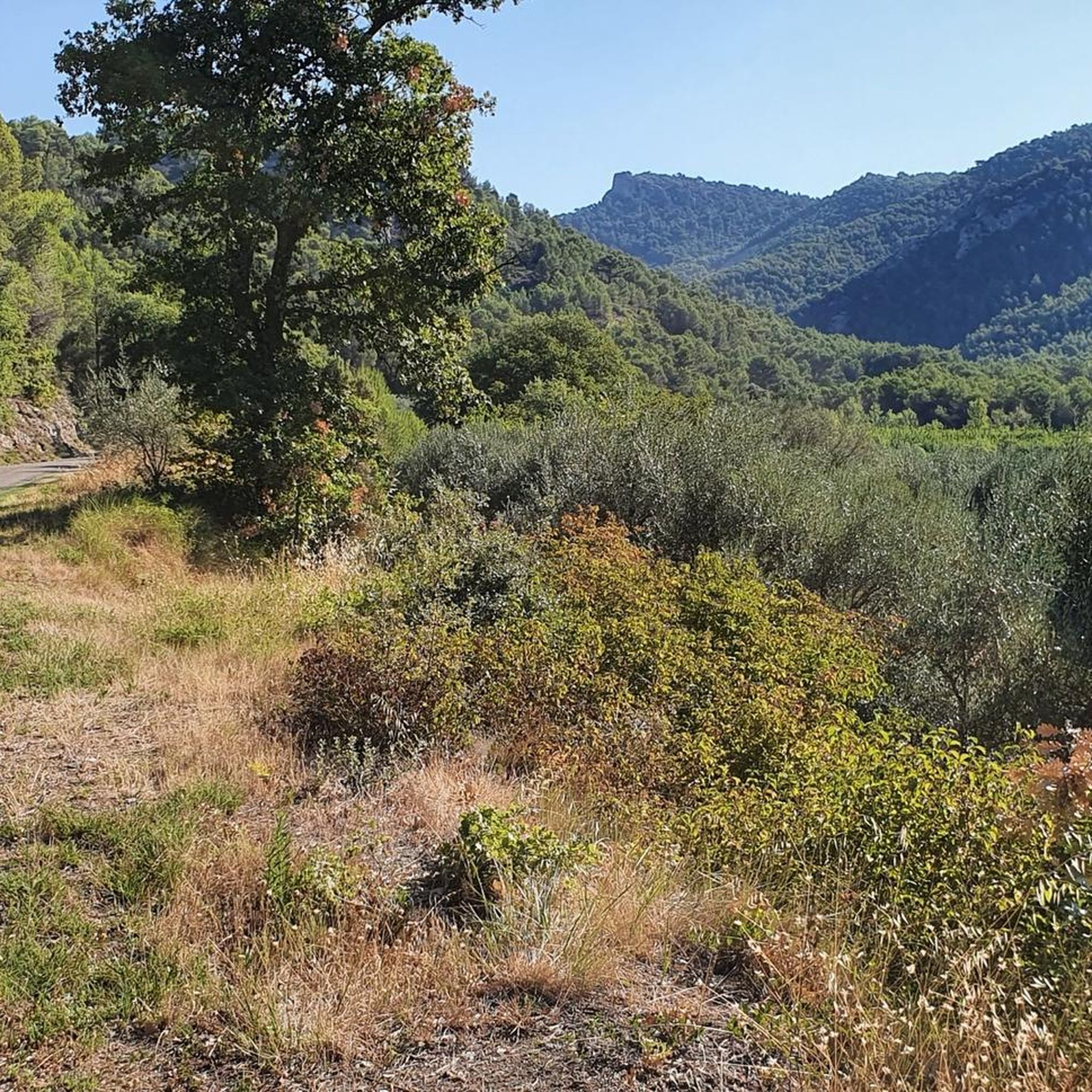

Tips from the Community

The route, as indicated here, goes over private property. We were, rightly so by the way, not welcome there. So we could not walk this exact loop.
0
0

Excellent workout for cardio
0
0

a short drive from the campsite
0
0


Great side road with a moderate gradient. The signs show information about the remaining gradient and the remaining distance to the summit for every kilometer. It almost has a touch of "Tour de France feeling"...
0
0


view of the baronies, Mont Ventoux and the Luberon👍🏻
0
0
Frequently Asked Questions
What kind of views can I expect from the mountain passes around Mérindol-Les-Oliviers?
The mountain passes in this region offer stunning panoramic views. From many points, you can see the iconic Mont Ventoux, the dramatic Dentelles de Montmirail, and the expansive Rhône Valley. Passes like Chaîne Pass provide beautiful vistas, especially of the Dentelles de Montmirail and surrounding vineyards. Col d'Ey, despite its moderate altitude, offers a spectacular panorama including a striking view of Mont Ventoux's north face.
What outdoor activities are popular around the mountain passes near Mérindol-Les-Oliviers?
The mountainous area around Mérindol-Les-Oliviers is ideal for various outdoor activities, primarily hiking and cycling. Many passes are integrated into routes that showcase the natural beauty of the Baronnies Provençales massif. You can find numerous cycling routes, including challenging gravel biking tours like the Mont Ventoux summit loop, or more moderate running trails. For detailed routes, explore the Cycling around Mérindol-Les-Oliviers, Running Trails around Mérindol-Les-Oliviers, and Gravel biking around Mérindol-Les-Oliviers guides.
Are there any family-friendly mountain passes or routes suitable for beginners?
Yes, some passes are more accessible. For instance, the road to the top of Chaîne Pass is noted for not being steep, making it suitable for various activities and potentially families or beginners. The climb to Col de la croix rouge (507m) is also described as pleasant, with only the last kilometer offering a steeper slope, making much of the route enjoyable for those seeking a moderate experience.
What is the best time of year to visit the mountain passes in this region?
The region offers opportunities for outdoor activities throughout much of the year. Spring and autumn are generally ideal for hiking and cycling, with pleasant temperatures and vibrant landscapes. Summer can be warm, but early mornings or late afternoons are still suitable for activities. While specific winter conditions are not detailed, the passes are primarily for hiking and cycling, suggesting milder seasons are preferred.
What kind of natural landscapes and features can I explore on these passes?
The passes traverse diverse terrain, including picturesque shrubland, dense forests, and traditional olive groves. You'll encounter small valleys, vineyards, and unique folded rock formations, particularly around Col de la croix rouge (507m). The wild landscapes and ancient dry-stone terraces also add to the natural charm and historical context of the area.
Are there any historical or cultural sites near the mountain passes?
Yes, many trails that incorporate the mountain passes often lead to or pass by historical sites. You can discover old ruined villages and castles, which add a rich cultural dimension to your outdoor exploration. The presence of ancient agricultural traces, such as dry-stone terraces, also offers a glimpse into the region's past.
What makes the <a href="https://www.komoot.com/highlight/718435" target="_blank" rel="noopener">Col de la croix rouge (507m)</a> a popular spot?
The Col de la croix rouge (507m) is appreciated for its quiet, paved road and pleasant climb, especially when approaching from Mirabel to Baronnies. It offers magnificent views of small valleys, vineyards, and folded rocks, making it a must-do for many visitors. The final kilometer presents a steeper challenge, reaching up to 10% gradient.
Can I find circular hiking routes that include mountain passes?
Yes, the region offers circular routes that allow you to explore multiple mountain passes within a single hike. For example, some routes in the Baronnies region, accessible from areas near Mérindol-les-Oliviers, connect villages like Montaulieu and Rochebrune while crossing several passes, providing varied landscapes and views of the Ventoux massif and Dentelles de Montmirail.
What is the difficulty level of the mountain passes in this area?
The mountain passes around Mérindol-Les-Oliviers offer a range of difficulty levels. Some, like Chaîne Pass, are relatively gentle. Others, such as Col de la croix rouge (507m), are considered intermediate with a pleasant climb and a steeper final section. Col d'Ey is known for its intense descent, suggesting a more challenging experience for some. Overall, there are options for various fitness levels.
What do visitors enjoy most about the mountain passes around Mérindol-Les-Oliviers?
Visitors frequently praise the stunning panoramic views, especially of the Dentelles de Montmirail and Mont Ventoux. The tranquility and natural beauty of the wild landscapes, coupled with the excellent opportunities for hiking and cycling through diverse terrain like vineyards and olive groves, are also highly valued. The passes are often described as offering a peaceful retreat into nature.
Is there a pass that offers a particularly striking view of Mont Ventoux?
Yes, Col d'Ey is renowned for its exceptional panorama, which includes a breathtaking view of the north face of Mont Ventoux. Many visitors describe this view as a 'shock' due to its sublimity, making it a highly recommended spot for those wanting to admire the 'Giant of Provence'.
How long are the climbs for some of the passes?
The length and gradient of climbs vary. For example, the climb to Propiac Pass from Propiac is approximately 6.9 km long with an average gradient of 3.49%. The ascent to Col d'Ey from Buis les Baronnies is 8.3 km long with an average gradient of 4.46%. These details can help you plan your cycling or hiking efforts.
Most popular routes around Mérindol-Les-Oliviers
Most popular attractions around Mérindol-Les-Oliviers

Get inspired with the komoot mobile app


Explore more
See even more epic mountain passes by checking out these guides around Mérindol-Les-Oliviers:
