The best MTB trails around Berrwiller
4.4
(752)
4,619
riders
312
rides
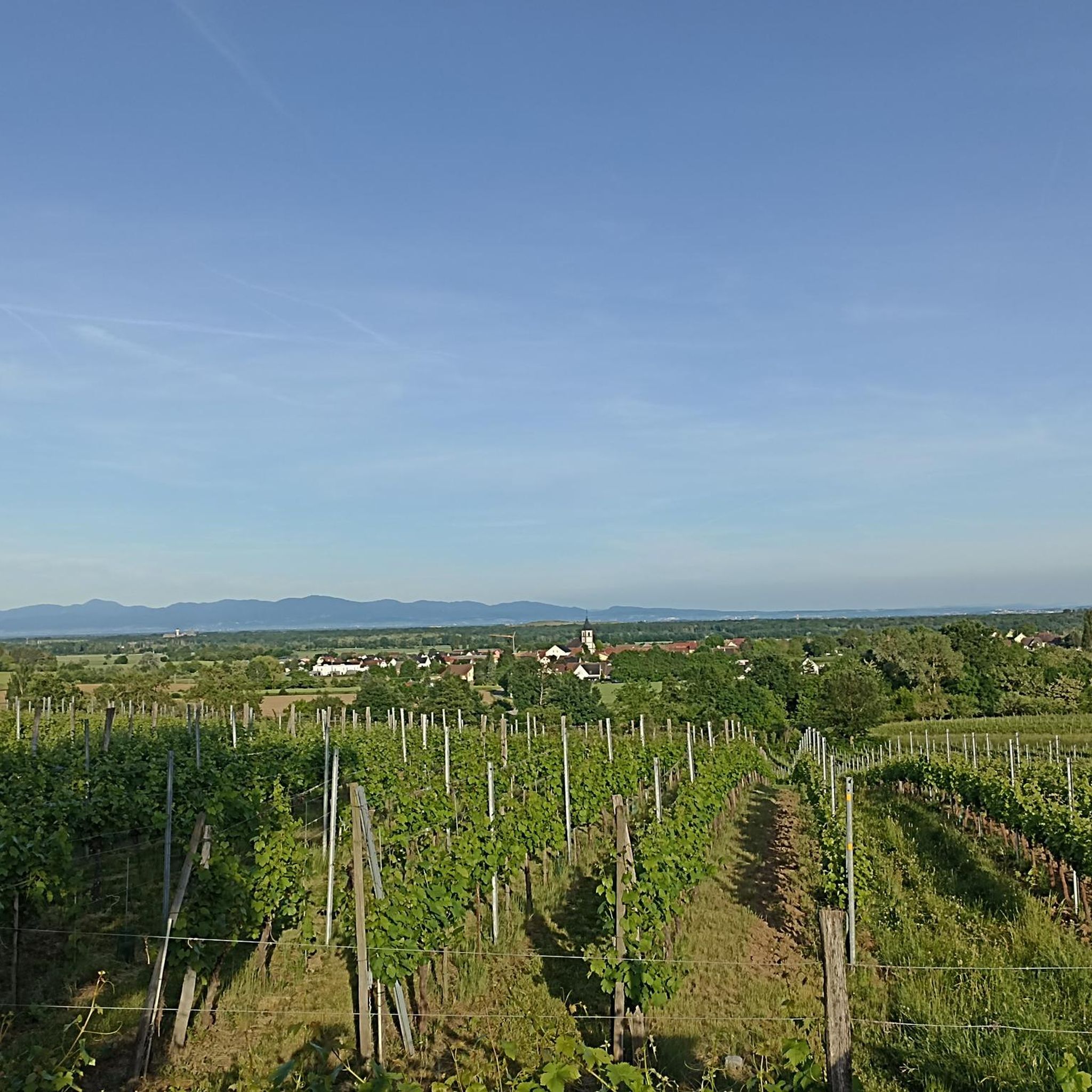
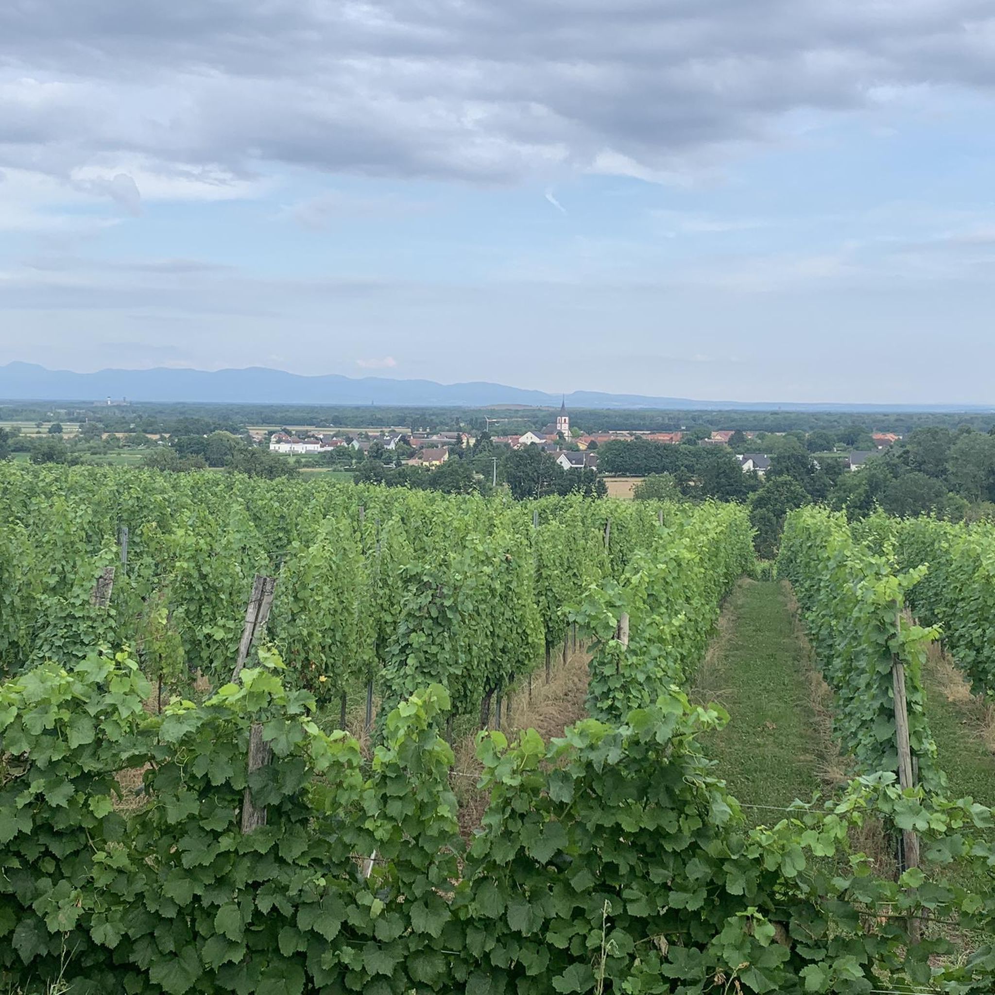
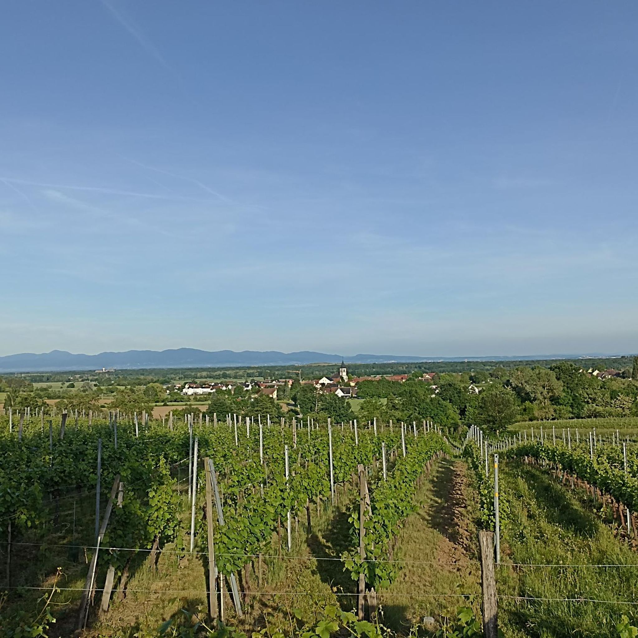
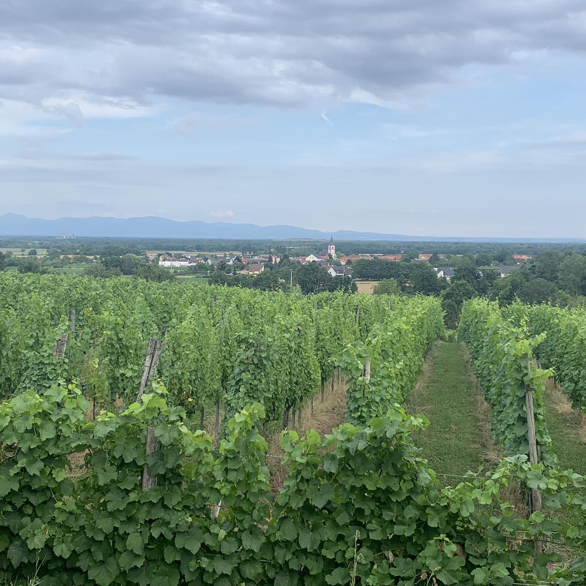
Mountain biking around Berrwiller offers a diverse landscape, characterized by rolling hills and dense woodlands, typical of the Alsace region. The area features a mix of forest trails and open paths, providing varied terrain for mountain bikers. Elevations are generally moderate, with some steeper ascents leading to panoramic viewpoints. The region's natural features create a network of trails suitable for different skill levels.
Best mountain bike trails around Berrwiller
- The most popular mountain bike trail is Wine trails – Ascent…
Last updated: August 28, 2026
4.5
(10)
53
riders
19.7km
02:05
760m
760m
Moderate mountain bike ride. Good fitness required. Advanced riding skills necessary.
4.7
(10)
41
riders
18.8km
01:15
180m
180m
Easy mountain bike ride. Great for any fitness level. Suitable for all skill levels.

Sign up for free
4.0
(6)
41
riders
22.6km
02:11
580m
580m
Moderate mountain bike ride. Good fitness required. Suitable for all skill levels.
4.5
(2)
92
riders
22.0km
02:34
870m
870m
Moderate mountain bike ride. Good fitness required. Advanced riding skills necessary.
4.6
(12)
33
riders
36.4km
03:20
810m
810m
Moderate mountain bike ride. Good fitness required. Suitable for all skill levels.
Get access to more routes and recommendations from other explorers.
Sign up for free
Already have an account?
Our route recommendations are based on thousands of hikes, rides, and runs completed by other people on komoot.
Start today with a free account
Your next adventure awaits.
Login or Signup

Tips from the Community

Even in pre-Christian times, it was customary in various cultures to ask pagan deities for assistance before a battle, as well as to thank them for (presumed) divine assistance after a victory. In a modified form, this cult also appears in medieval Christianity, where military successes were attributed not only to the soldiers' fighting skills or the strategy of their leaders, but also to thank the Mother of God for the heavenly assistance—which had previously been requested.
0
0

For several years now, the reintroduction of storks on the territory of the municipality of Soultz-Haut-Rhin has been a fact: the chimneys are now populated by these birds again. You can watch them for hours.
7
0
The Château du Herrenfluh is a medieval ruin at an altitude of 858 metres. It was built in 1312 by Johan von Sankt Amarin, nicknamed Nordwind, and served as a lookout post for the princes-abbatons of Murbach. Due to its strategic location, the castle offered a panoramic view over Alsace, all the way to the foothills of the Jura. In 1376, it was captured by English mercenaries and later, in 1468, destroyed by the Swiss. During the First World War, the site was again used as a French observation post. Today, some ruins are still visible, and volunteers are working to preserve the remains. It is an interesting historical site along the Route des Crêtes.
7
0


Great view of the Rhine Valley, the Black Forest and the Kaiserstuhl and, if the view is right, of the Alps 👍
3
0

Small chapel with a few rest benches - a pleasant surprise after taking the steep climb from below. The chapel was built in September 1916 by a battalion of French mountain troops. https://tinyurl.com/2s44z9up
1
0


Delicious food at moderate prices. There is a beautiful view for free
0
0
Frequently Asked Questions
How many mountain bike trails are available around Berrwiller?
There are over 320 mountain bike trails around Berrwiller, offering a wide variety of options for different skill levels and preferences.
Are there easy mountain bike trails suitable for beginners in Berrwiller?
Yes, Berrwiller offers a good selection of easy mountain bike trails. You can find around 58 routes classified as easy. An example is the Abri Le Drat 1918 Le Posheli – Watteiller Fountain loop from Haut-Rhin, which is 11.7 miles (18.8 km) long with moderate elevation changes.
What kind of terrain can I expect on mountain bike trails in Berrwiller?
The mountain bike trails in Berrwiller feature a diverse landscape, characterized by rolling hills and dense woodlands, typical of the Alsace region. You'll find a mix of forest trails and open paths, with generally moderate elevations, though some routes include steeper ascents to panoramic viewpoints.
Are there any challenging mountain bike trails for experienced riders?
Absolutely. For experienced riders seeking a challenge, there are 95 difficult mountain bike trails. A notable difficult route is the Wine trails – Ascent to Col Amic loop from Haut-Rhin, an 18.1 miles (29.1 km) route with significant elevation changes through forested areas.
Are there mountain bike trails that form a loop around Berrwiller?
Yes, many mountain bike trails around Berrwiller are designed as loops. For instance, the Molkenrain Farm Inn – Ruins of Herrenfluh Castle loop from Wattwiller is a moderate 11.6 miles (18.6 km) loop that winds through woodlands and past historical sites.
What can I see along the mountain bike trails in Berrwiller?
The trails often pass by interesting historical sites and natural features. You might encounter mountain passes like Col Amic or historical sites such as the Adlerhorst Command Post – World War I, offering glimpses into the region's past.
Are there any specific viewpoints along the mountain bike routes?
While specific named viewpoints are not detailed for every route, the region's moderate elevations and rolling hills mean many trails offer scenic vistas, especially after steeper ascents. Routes like the Ascent to Col Amic – Grand Ballon loop from Haut-Rhin will take you to higher elevations where panoramic views are common.
What do other mountain bikers enjoy most about mountain biking in Berrwiller?
The area is highly rated by the komoot community, with an average score of 4.5 stars from over 700 reviews. Reviewers often praise the diverse landscape, the mix of forest and open paths, and the well-maintained network of trails suitable for various skill levels.
What is the best time of year for mountain biking in Berrwiller?
The Alsace region, including Berrwiller, generally offers pleasant conditions for mountain biking from spring through autumn. Summer provides warm weather, while spring and autumn offer cooler temperatures and vibrant scenery. Winter riding is possible, but conditions can be more challenging due to snow or ice, especially at higher elevations.
Are there any historical sites or caves accessible near the mountain bike trails?
Yes, the area around Berrwiller is rich in history. You can find historical sites such as the Veilchenstein German WW1 Bunker and the Schletzenbourg medieval mine. There are also caves like the Lower Rehfelsen Tunnels that might be explored off-bike.
Are there any moderate mountain bike trails in the Berrwiller area?
Yes, Berrwiller has a significant number of moderate trails, with around 168 routes falling into this category. The German Wayside Cross – Molkenrain Farm Inn loop from Wattwiller is a popular moderate 11.0 miles (17.6 km) trail that leads through varied forest and open terrain.
Most popular routes around Berrwiller
Most popular attractions around Berrwiller

Get inspired with the komoot mobile app


Explore more
Browse the best MTB trails in other regions.
