The best walks and hikes around Beauvoisin
4.4
(1822)
9,622
hikers
370
hikes
Hiking around Beauvoisin offers diverse trails through the Drôme region, characterized by its rolling hills, cols (mountain passes), and scenic ridges. The landscape provides varied terrain, from forested paths to open areas with expansive views. Hikers can explore routes that feature moderate ascents and descents, often leading to panoramic vistas of the surrounding countryside, including distant mountains.
Best hiking trails around Beauvoisin
- The most popular hiking route is Col de Milmandre – Col de Linceuil loop from Beauvoisin, a…
Last updated: July 9, 2026
4.6
(8)
55
hikers
13.4km
04:03
430m
430m
Moderate hike. Good fitness required. Mostly accessible paths. Sure-footedness required.
4.7
(9)
44
hikers
Moderate hike. Good fitness required. Easily-accessible paths. Suitable for all skill levels.

Sign up for free
4.3
(7)
27
hikers
7.82km
02:35
350m
350m
Moderate hike. Good fitness required. Mostly accessible paths. Sure-footedness required.
5.0
(4)
33
hikers
8.32km
02:42
360m
350m
Moderate hike. Good fitness required. Easily-accessible paths. Suitable for all skill levels.
5.0
(3)
17
hikers
7.74km
02:24
270m
270m
Moderate hike. Good fitness required. Easily-accessible paths. Suitable for all skill levels.
Get access to more routes and recommendations from other explorers.
Sign up for free
Already have an account?
Our route recommendations are based on thousands of hikes, rides, and runs completed by other people on komoot.
Start today with a free account
Your next adventure awaits.
Login or Signup


Tips from the Community

The chapel has a phenomenal location with wonderful views; the path there is easy to walk; an absolute recommendation.
0
0

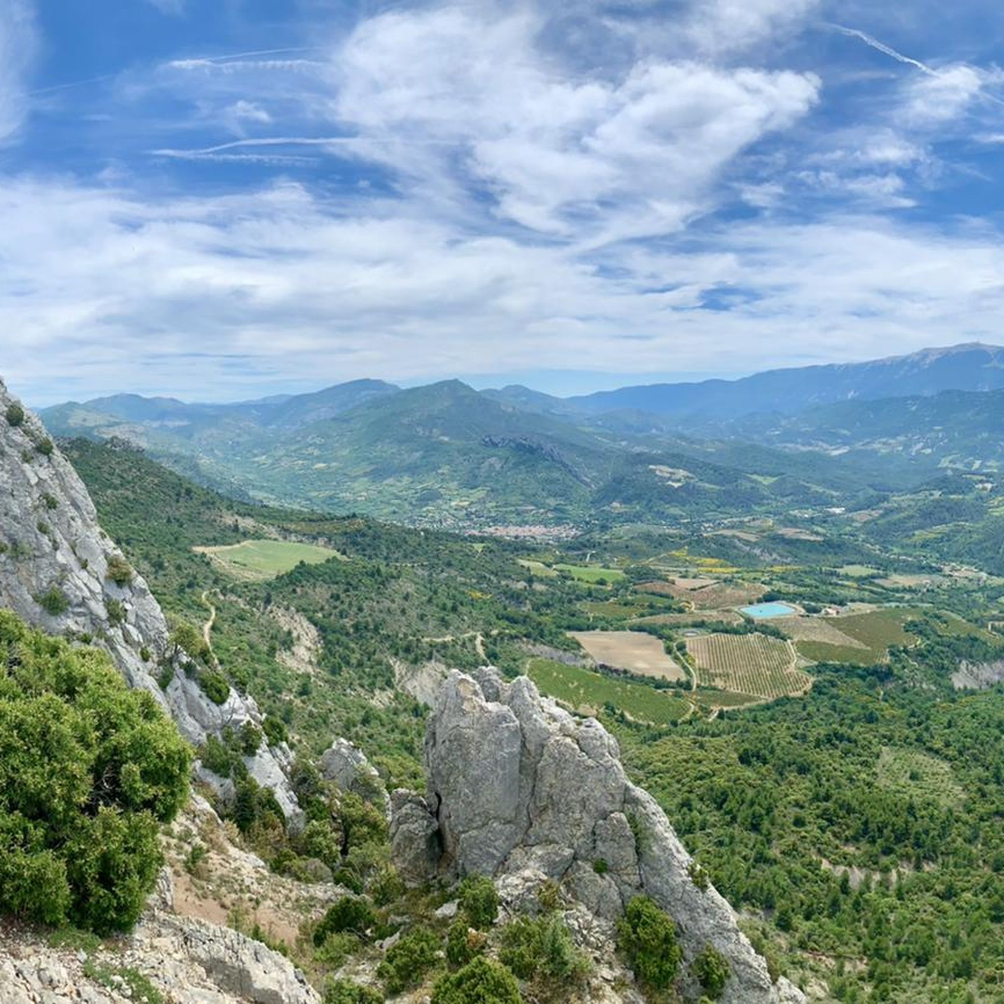
Panoramic views of the mountains around Buis-les-Baronnies
0
0
Panoramic view of the mountains around Buis-les-Baronnies
1
0

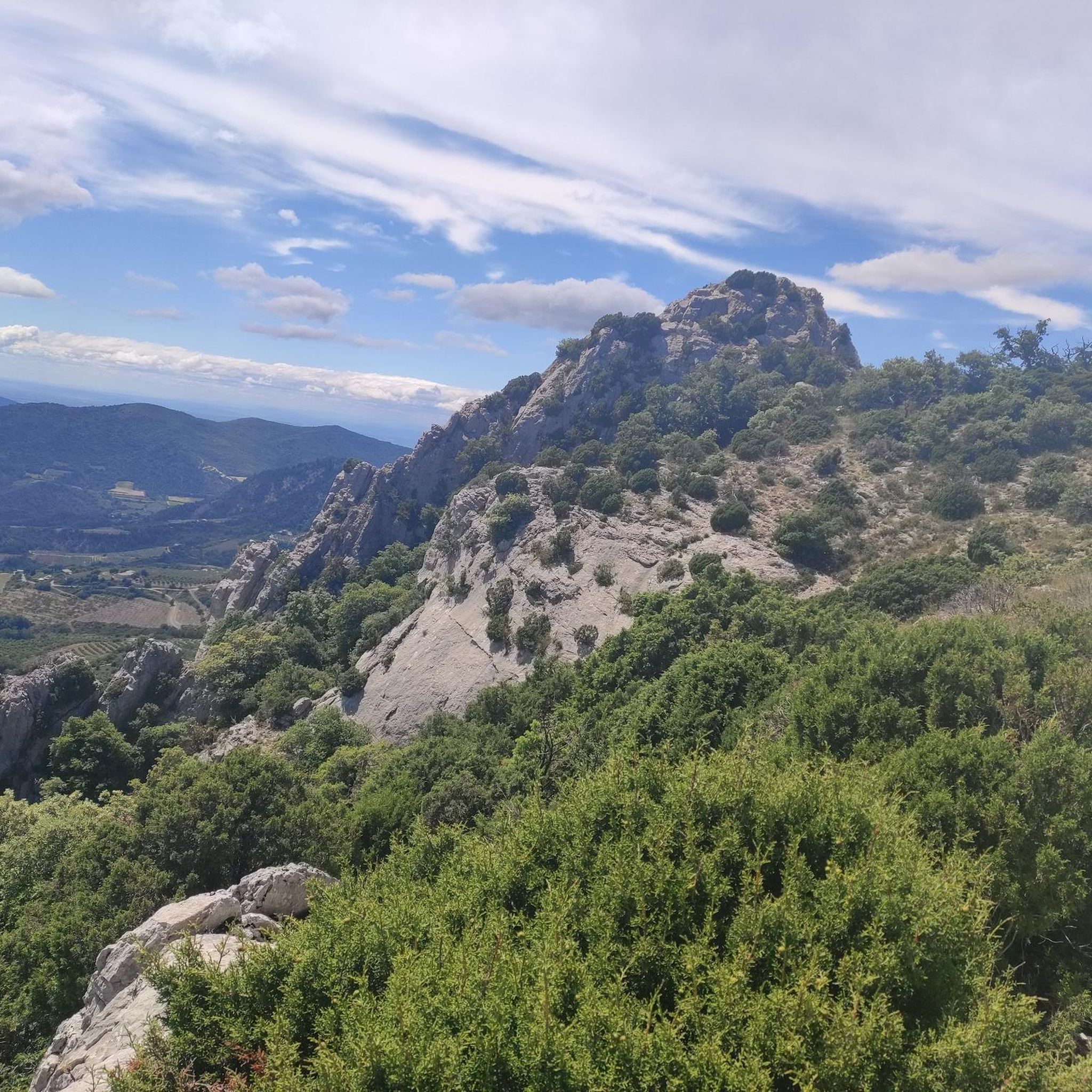
Beautiful ridge, nice to do by mountain bike
0
1
Shortly before the saddle, there is a wonderful view of Mont Ventoux and shortly afterwards of the mountains of the Drôme Provencale.
1
0
Frequently Asked Questions
How many hiking trails are available around Beauvoisin?
There are over 350 hiking routes in the Beauvoisin area, catering to various skill levels. You'll find a wide selection of trails through the Drôme region's rolling hills and scenic ridges.
What kind of terrain can I expect on hikes near Beauvoisin?
The terrain around Beauvoisin is diverse, featuring rolling hills, cols (mountain passes), and scenic ridges. Hikers can expect a mix of forested paths and open areas, often with moderate ascents and descents leading to panoramic views of the surrounding countryside, including distant mountains like Mont Ventoux.
Are there easy hiking trails suitable for beginners in Beauvoisin?
Yes, Beauvoisin offers a good selection of trails suitable for beginners. There are over 130 easy routes available, perfect for those looking for a gentle introduction to hiking in the Drôme region. Many of these routes are well-maintained and offer pleasant walks without significant challenges.
Are there any circular hiking routes around Beauvoisin?
Many of the hiking trails around Beauvoisin are designed as loops, allowing you to start and finish in the same location. For example, the Col de Pousterle – COL DE LA POSTERLE loop from Beauvoisin is a moderate 8.3 km route that offers varied scenery.
What do other hikers enjoy most about the trails in Beauvoisin?
The hiking trails in Beauvoisin are highly rated by the komoot community, with an average score of 4.4 stars from over 1600 reviews. Hikers often praise the varied terrain, the panoramic views of the Drôme countryside and Mont Ventoux, and the well-maintained paths that make exploring the cols and ridges a rewarding experience.
Are there any family-friendly hiking options in Beauvoisin?
Beauvoisin has several trails that are suitable for families, especially those looking for less strenuous options. Many of the easy routes are ideal for walks with children. Look for trails with shorter distances and minimal elevation gain for a comfortable family outing.
Can I bring my dog on the hiking trails in Beauvoisin?
Generally, dogs are welcome on most hiking trails in the Drôme region, including those around Beauvoisin. However, it's always advisable to keep your dog on a leash, especially in areas with livestock or protected wildlife. Remember to carry water for your pet and clean up after them.
What is the best time of year to go hiking in Beauvoisin?
The best time for hiking in Beauvoisin is typically from spring to autumn (April to October). During these months, the weather is generally pleasant, with comfortable temperatures for outdoor activities. Spring brings blooming wildflowers, while autumn offers beautiful fall foliage. Summers can be warm, so early morning or late afternoon hikes are recommended.
Are there any interesting natural attractions or landmarks to see along the trails?
Yes, the Beauvoisin area is rich in natural beauty. You can explore stunning geological formations like the Entrance to the Toulourenc Gorges or the Ubrieux Gorge. There are also unique spots like the Baume des Eyguiers Grotto, offering diverse points of interest for hikers.
Are there opportunities for wild swimming near Beauvoisin hikes?
The Drôme region, including areas near Beauvoisin, is known for its rivers and gorges which can offer opportunities for refreshing dips. The Toulourenc Gorges, for instance, are a popular spot for cooling off in natural pools during warmer months. Always check local regulations and safety conditions before swimming.
Where can I find parking for hiking trails in Beauvoisin?
Parking is generally available in or near the village of Beauvoisin, as well as at designated trailheads for popular routes. Many loop trails start from accessible points where parking is provided. It's advisable to check the specific route details on komoot for recommended starting points and parking information.
Are there any hikes that offer views of Mont Ventoux?
Absolutely! The region around Beauvoisin provides excellent opportunities to see Mont Ventoux. The Beautiful view on mont Ventoux – Ridges with pretty view over the Ventoux loop from Bénivay-Ollon is a moderate 9 km path specifically known for its expansive vistas, including clear views of Mont Ventoux from its ridges.
Most popular routes around Beauvoisin
Most popular attractions around Beauvoisin

Get inspired with the komoot mobile app


Explore more
Browse the best Hikes in other regions.
