The best cycling routes around Paulhe
4.5
(669)
10,480
riders
229
rides
Touring cycling routes around Paulhe are situated at the gateway to the Gorges du Tarn and Gorges de la Jonte, within the expansive Grands Causses Regional Natural Park in Aveyron, France. The region is characterized by dramatic limestone cliffs, vast plateaus, and picturesque river valleys carved by the Tarn and Jonte rivers. This diverse landscape offers varied terrain for touring cyclists, from winding roads along riverbeds to ascents leading to panoramic viewpoints.
Best touring cycling routes around Paulhe
- The most…
Last updated: October 25, 2026
3.0
(1)
21
riders
14.1km
01:19
140m
140m
Easy bike ride. Mostly paved surfaces.
4.3
(12)
63
riders
65.4km
04:10
770m
770m
Hard bike ride. Very good fitness required. Mostly paved surfaces.

4.6
(7)
78
riders
75.7km
04:56
1,040m
1,040m
Hard bike ride. Very good fitness required. Mostly paved surfaces.
5.0
(10)
167
riders
30.4km
02:09
570m
570m
Hard bike ride. Very good fitness required. Mostly paved surfaces.
4.0
(5)
42
riders
20.0km
01:12
140m
140m
Easy bike ride. Mostly paved surfaces.
Get access to more routes and recommendations from other explorers.
Already have an account?
Our route recommendations are based on thousands of hikes, rides, and runs completed by other people on komoot.
Start today with a free account
Your next adventure awaits.
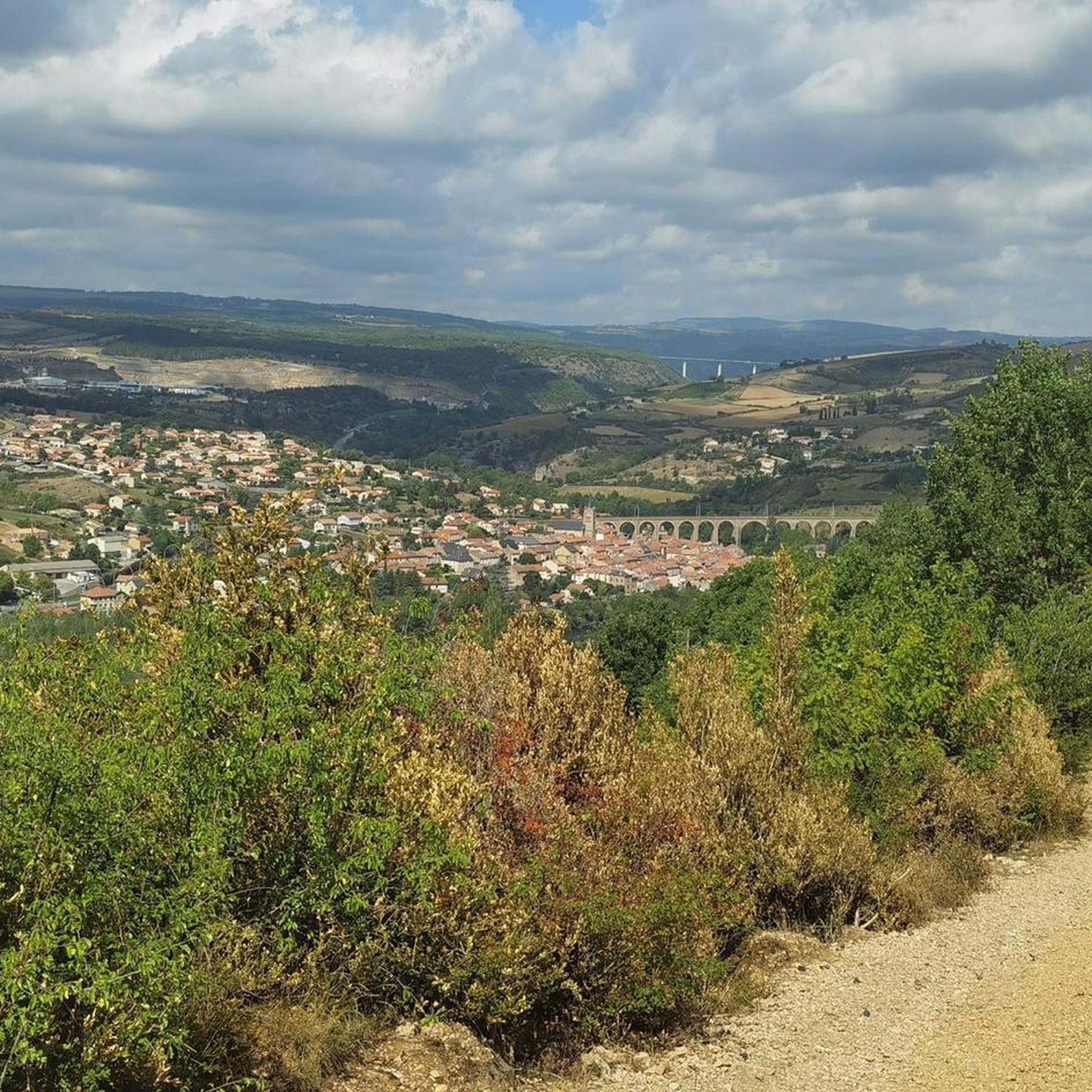

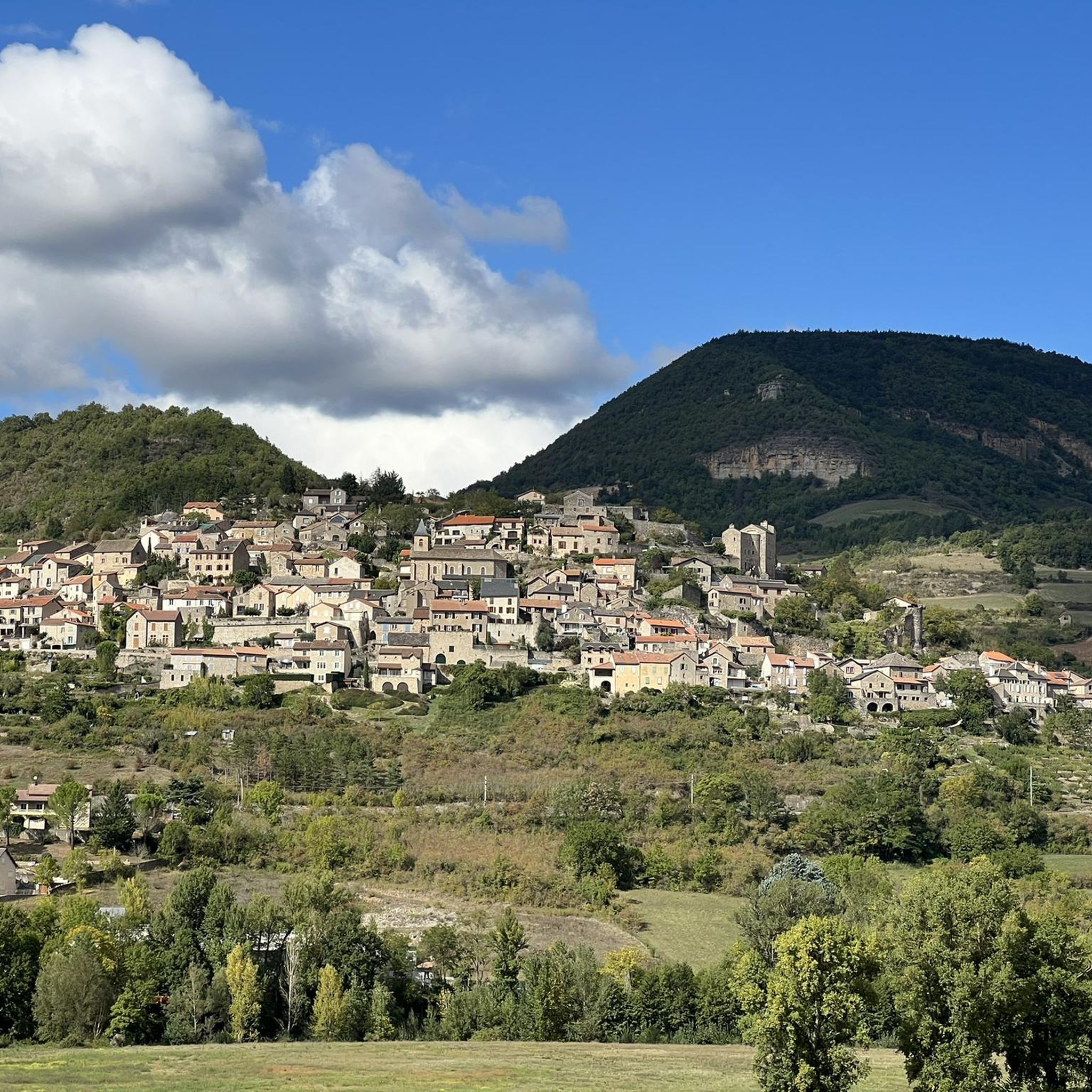
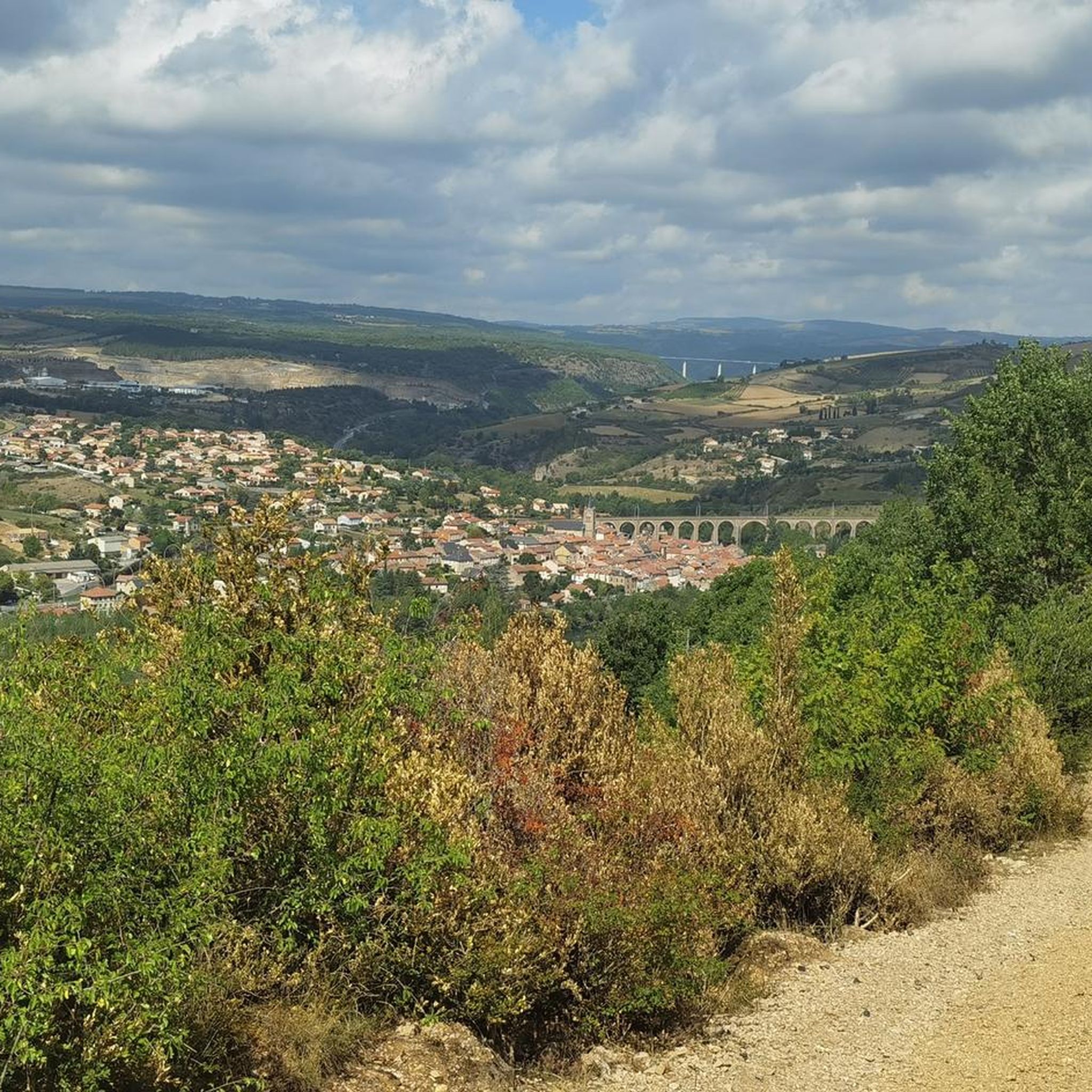
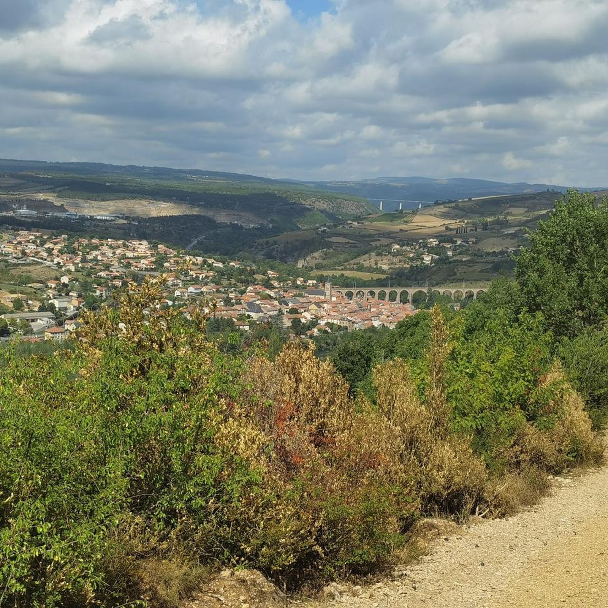
Tips from the Community

In the heart of Creissels, the Pesquié basin forms a surprisingly vast body of water (1,000 m²) compared to the modest stream that feeds it. Its name, which comes from Occitan and means "fish pond", recalls the ancient purpose of the place, linked to fish farming. The town hall now occupies the premises of a former fish farm. The basin is fed by the Creissels waterfall, a typical resurgence of the karst functioning of the Larzac: the water infiltrated into the limestones of the plateau reappears after an underground journey. In September 2023, the municipality dredged the basin and created a spawning ground for brown trout (Salmo trutta). The restoration has borne fruit, as trout have since recolonized the body of water, alongside amphibians and other aquatic organisms that find refuge in the surrounding wetland.
3
0
Built between 1818 and 1821, the Lerouge bridge became one of the main structures for crossing the Tarn in Millau. It replaced the Pont Vieux, several arches of which had been destroyed by a flood in 1758, leaving the town without a permanent bridge for over sixty years. During this long period, crossing the Tarn was mainly done by ferry. The project was launched on the initiative of the prefect of Aveyron, d’Estourmel. The plans were drawn up by Pierre-Jacques Le Rouge, an engineer for the district. The first stone was laid on June 20, 1818, and the bridge was opened to traffic in January 1821. Its name therefore comes from its designer, not from the color of its stones. A curious detail: its construction was largely financed by private individuals, and a toll was collected until 1875. This tax even caused tensions with the inhabitants of Creissels, some of whom continued to cross the Tarn on foot or by boat to avoid paying it.
3
0
From this point at the foot of the structure, the regular succession of piers and guyed pylons can be particularly well distinguished. The deck, 2,460 m long, crosses the valley at a height of approximately 270 m above the Tarn. Pier P2, the tallest, culminates at 245 m, while the assembly formed by the pier and its pylon reaches 343 m: a height greater than that of the Eiffel Tower. This perspective also recalls the technical feat that the construction of the viaduct represented. The metal deck was assembled in sections from either side of the valley, then progressively launched across the void. The joining of the two parts was carried out on May 28, 2004, 268 m above the Tarn, before the official inauguration a few months later. An interesting detail can be discerned here: despite its exceptional dimensions, the structure appears remarkably light. This impression is not accidental. The viaduct was specifically designed to blend into the valley by limiting the visual impact of its structure, with a very slender deck and piers that branch out in a "Y" shape.
3
0

Absolutely worth seeing - view it from below and definitely join the architecture tour.
0
0

As a local and a cyclist, I can confirm that the scenery is magnificent and the small roads are ideal for cycling, provided you avoid the peak period from July 15th to August 15th. However, I regret that you only mention the village of Le Rozier in the route descriptions, while the photos are mostly of Peyreleau, a superb, unspoiled village, away from the traffic of the gorges, which it faces on the other side of the Jonte River! Note: Le Rozier is in Lozère, while Peyreleau is in Aveyron.
0
0

This pontoon bridge is only open from spring to fall. It is removed in winter and rebuilt when the water level is low.
0
0

Frequently Asked Questions
How many touring cycling routes are available around Paulhe?
There are over 220 touring cycling routes around Paulhe, offering a wide range of options for all skill levels. You'll find approximately 40 easy routes, 50 moderate routes, and over 130 difficult routes to explore the dramatic landscapes of the Gorges du Tarn, Gorges de la Jonte, and the Grands Causses Regional Natural Park.
What kind of terrain can I expect on touring cycling routes near Paulhe?
The terrain around Paulhe is incredibly diverse. You can expect winding roads along picturesque riverbeds in the Tarn, Jonte, and Dourbie valleys, as well as challenging ascents leading to vast limestone plateaus (causses). The region features dramatic gorges with towering cliffs, offering both relatively flat sections and more strenuous climbs to panoramic viewpoints.
Are there any family-friendly touring cycling routes in Paulhe?
Yes, there are several easier routes suitable for families. For instance, the Forêt du Cade – loop in the Grands Causses regional natural park is an easy 14.1 km (8.8 miles) trail that takes about 1 hour 19 minutes to complete, perfect for exploring the natural beauty of the Grands Causses at a relaxed pace.
What are some notable landmarks or natural features to see along the cycling routes?
The region is rich in natural wonders and historical sites. You can encounter unique geological formations like the Vase de Sèvres and Vase de Chine, or the intriguing The Prehistoric Mushroom. Cyclists can also spot the impressive Peyrelade Castle and enjoy stunning views from Capluc Rock. Many routes also traverse the dramatic Gorges du Tarn and Gorges de la Jonte.
Are there any circular touring cycling routes available?
Yes, many routes in the Paulhe area are designed as loops, allowing you to start and finish in the same location. An example of a challenging circular route is the Le Rozier – Jonte Gorge loop from Compeyre, which covers 76.5 km (47.5 miles) through the dramatic Jonte Gorge.
What do other touring cyclists say about the routes in Paulhe?
The touring cycling routes around Paulhe are highly regarded by the komoot community, with an average rating of 4.5 stars from over 500 reviews. Cyclists often praise the breathtaking scenery of the gorges and plateaus, the variety of terrain, and the well-maintained paths that cater to different skill levels.
Are there any routes that offer views of the Millau Viaduct?
Yes, if you're looking for routes with views of the iconic Millau Viaduct, consider the challenging Peyre Troglodyte Village – Millau Viaduct loop from Aguessac. This 64.9 km (40.3 miles) route not only provides stunning vistas of the viaduct but also passes through the unique Peyre Troglodyte Village.
What is the best time of year for touring cycling in Paulhe?
The region is generally pleasant for cycling from spring through autumn. Spring offers lush greenery and comfortable temperatures, while autumn provides vibrant colors and cooler weather. Summer can be warm, especially in the gorges, so early morning or late afternoon rides are often preferred during this season. Winter cycling is possible but may require more preparation due to colder temperatures and potential for adverse weather on higher plateaus.
Are there any moderate difficulty touring cycling routes?
Absolutely. For a moderate challenge, you could try the Old Saint Martin Church – Le Rozier loop from Aguessac. This route spans 28.8 km (17.9 miles) and offers a balanced experience with some elevation gain, taking you through scenic landscapes and past charming villages like Le Rozier.
Where can I find more information about the broader cycling network in the Grands Causses region?
For more extensive information on cycling routes within the wider Grands Causses region, you can consult resources like tourisme-aveyron.com or veloenfrance.fr, which provide details on various circuits and cycling opportunities in the natural park.
Are there any routes that offer significant elevation for a challenging ride?
Yes, Paulhe is an excellent base for challenging rides with significant elevation gain. Routes like the Cherry house – View of Millau and Its Viaduct loop from Aguessac, a difficult 32.5 km (20.2 miles) route, feature over 600 meters of ascent, rewarding cyclists with spectacular views over the canyons and surrounding landscapes.
Most popular attractions around Paulhe

Get inspired with the komoot mobile app


Explore more
Browse the best Cycling routes in other regions.
