The best walks and hikes around Saint-Vincent-La-Commanderie
4.5
(512)
3,594
hikers
23
hikes
Hiking around Saint-Vincent-La-Commanderie offers diverse terrain, characterized by its position at the foothills of the Vercors Mountains. The region features significant elevation changes, ranging from lower hamlets to higher peaks, and includes both dense wooded areas and open landscapes. Hikers can expect trails that traverse forests and provide views over surrounding plains and cliffs.
Best hiking trails around Saint-Vincent-La-Commanderie
- The most popular hiking route is Belle vue – Vercors Mountains loop from Saint-Vincent-la-Commanderie, a 7.0 miles (11.3 km) moderate…
Last updated: May 12, 2026
4.6
(10)
39
hikers
11.3km
03:46
510m
510m
Moderate hike. Good fitness required. Mostly accessible paths. Sure-footedness required.
4.1
(8)
52
hikers
Moderate hike. Good fitness required. Mostly accessible paths. Sure-footedness required.

Sign up for free
4.0
(2)
5
hikers
4.66km
01:30
200m
210m
Easy hike. Great for any fitness level. Easily-accessible paths. Suitable for all skill levels.
9
hikers
5.18km
01:32
120m
130m
Moderate hike. Great for any fitness level. Mostly accessible paths. Sure-footedness required.
4.5
(2)
6
hikers
4.88km
01:29
170m
170m
Easy hike. Great for any fitness level. Easily-accessible paths. Suitable for all skill levels.
Get access to more routes and recommendations from other explorers.
Sign up for free
Already have an account?
Our route recommendations are based on thousands of hikes, rides, and runs completed by other people on komoot.
Start today with a free account
Your next adventure awaits.
Login or Signup
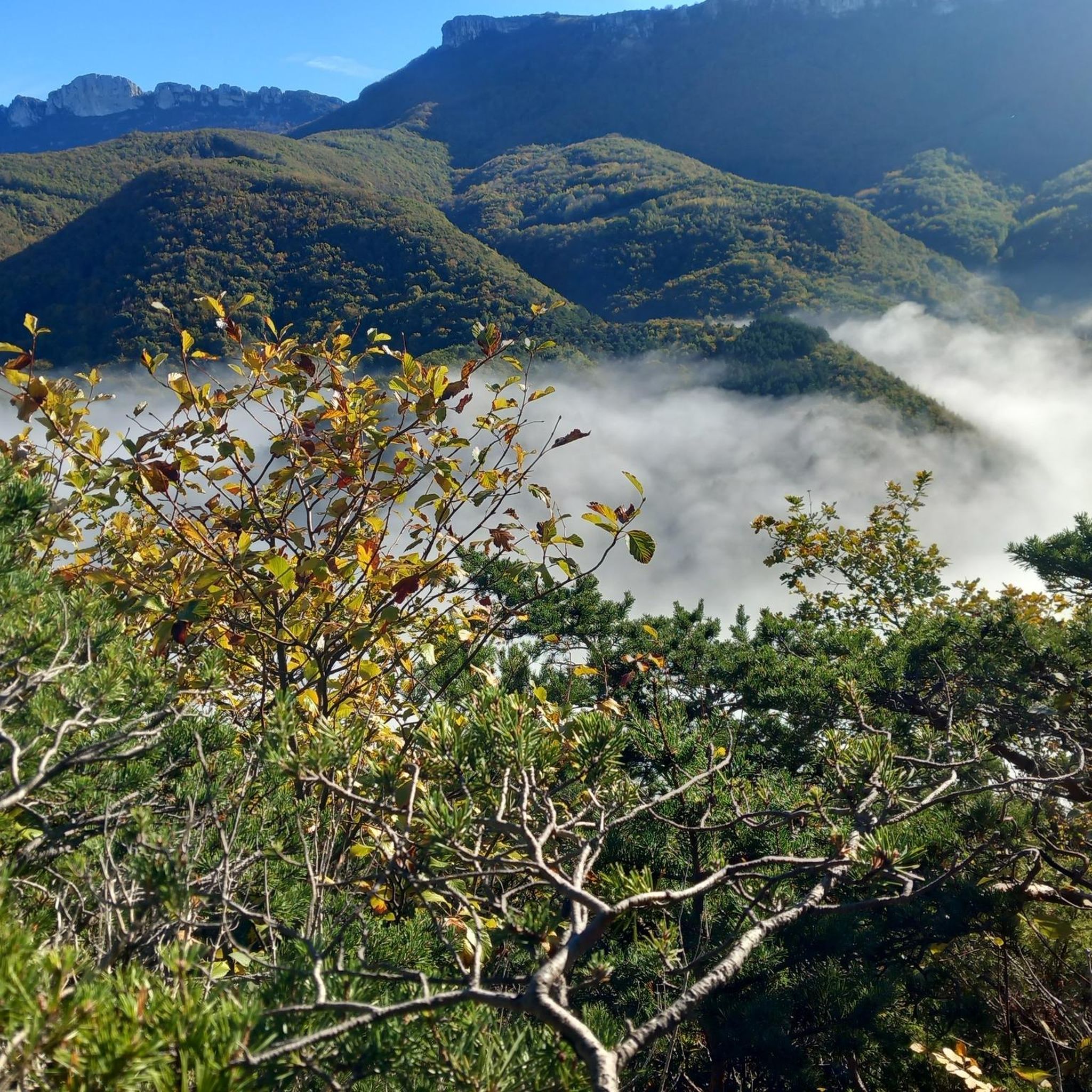
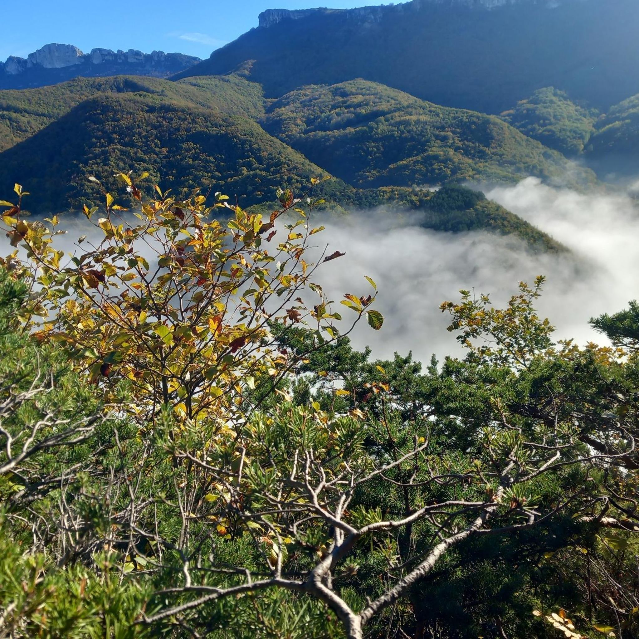
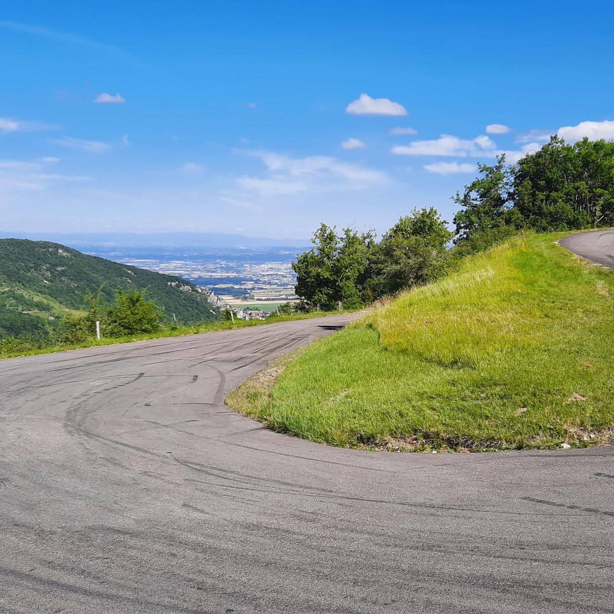
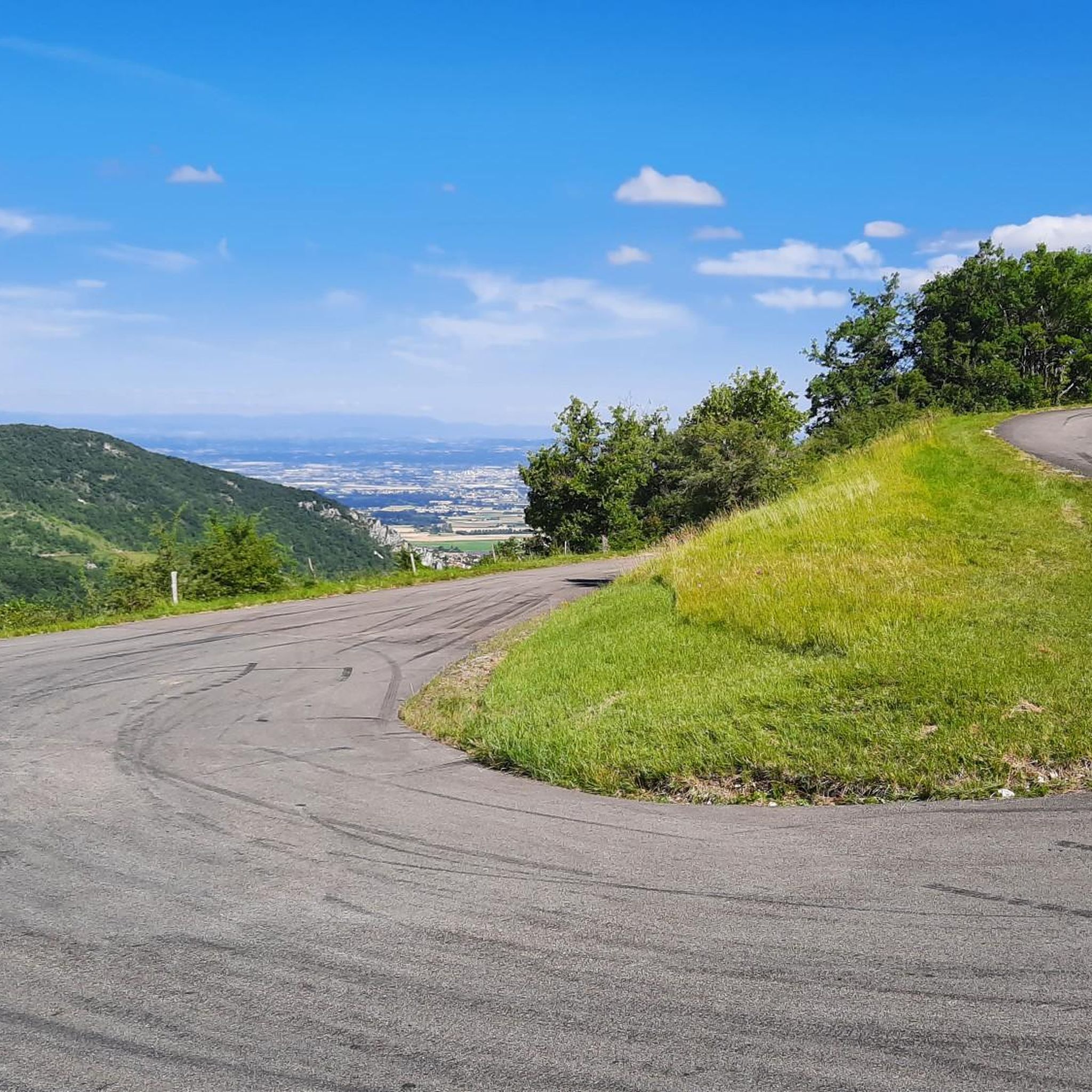

Tips from the Community

Beautiful view of the Rhone valley
0
0
Frequently Asked Questions
What types of hiking trails can I expect around Saint-Vincent-La-Commanderie?
Hiking around Saint-Vincent-La-Commanderie offers a variety of terrain, from dense wooded areas to open landscapes. You'll find trails with significant elevation changes, traversing forests and providing views over surrounding plains and the Vercors cliffs. The region is characterized by its position at the foothills of the Vercors Mountains, offering diverse experiences for different fitness levels.
How many hiking routes are available in Saint-Vincent-La-Commanderie?
There are over 20 hiking routes available around Saint-Vincent-La-Commanderie on komoot. These range from easy strolls to more challenging moderate hikes, ensuring options for various skill levels.
Are there easy hiking trails suitable for beginners or families?
Yes, Saint-Vincent-La-Commanderie offers several easy hiking trails. For instance, the Creek – Vercors Mountains loop from Les Condamines 620 M is an easy 4.7 km route that takes about 1 hour 30 minutes. Another accessible option is the Hiking loop from Peyrus, which is 4.9 km long and also rated easy.
What are the typical durations and distances for hikes in this area?
Hikes around Saint-Vincent-La-Commanderie vary in length and duration. You can find shorter routes like the Creek – Vercors Mountains loop from Les Condamines 620 M, which is 4.7 km and takes about 1 hour 30 minutes. Longer moderate trails, such as the Belle vue – Vercors Mountains loop from Saint-Vincent-la-Commanderie, can be up to 11.3 km and take nearly 4 hours to complete.
Are there any circular hiking routes available?
Yes, many of the trails around Saint-Vincent-La-Commanderie are circular. Examples include the Panoramic view of the cross – The wood of masks loop from Saint-Vincent-la-Commanderie, a moderate 6.8 km loop, and the Stripes – The wood of masks loop from Saint-Vincent-la-Commanderie, a 5.1 km moderate loop.
What kind of elevation gain should I expect on the trails?
The region features significant elevation changes due to its proximity to the Vercors Mountains. While some easy trails have modest gains, like the Stripes – The wood of masks loop from Saint-Vincent-la-Commanderie with 124 meters, more challenging routes can involve substantial ascents. For example, the Randonnée Pierre Chauve, a notable local hike, ascends to 1300 meters from a starting point of 600 meters, involving a 1225-meter elevation gain.
What natural features or viewpoints can I discover while hiking?
Hikers can enjoy magnificent views over the surrounding plains and the 'rochers vertacomicoriens' (Vercors cliffs). The area is known for its diverse landscapes, from forested paths to higher peaks. You can also explore various mountain peaks and passes. Notable highlights include the Pierre Chauve Summit and Cross, Tête de la Dame Summit, and the Col de Bacchus.
What do other hikers say about the trails in Saint-Vincent-La-Commanderie?
The routes in Saint-Vincent-La-Commanderie are highly rated by the komoot community, with an average score of 4.5 stars from over 500 reviews. Hikers often praise the varied terrain, the beautiful views of the Vercors Mountains, and the well-maintained paths that cater to different ability levels.
Is Saint-Vincent-La-Commanderie suitable for dog-friendly hikes?
While specific dog-friendly regulations can vary, many natural trails in France are generally accessible for dogs, especially if kept on a leash. It's always recommended to check local signage or specific route descriptions for any restrictions before heading out with your dog.
When is the best time of year to go hiking in Saint-Vincent-La-Commanderie?
The region offers rewarding experiences throughout much of the year. Spring and autumn generally provide pleasant temperatures and beautiful scenery, with vibrant foliage in fall. Summer is also popular, though some higher-elevation trails might be warmer. Winter hiking is possible, but conditions can vary, especially at higher altitudes, so checking local weather and trail conditions is advisable.
Are there any specific landmarks or points of interest to look out for?
Beyond the stunning natural landscapes, you can explore various mountain peaks and passes. Key points of interest include the Pierre Chauve Summit and Cross, which is a significant landmark reached by a challenging ascent. Other notable spots include Musan Summit and the Col de la Bataille.
Most popular routes around Saint-Vincent-La-Commanderie
Most popular attractions around Saint-Vincent-La-Commanderie

Get inspired with the komoot mobile app


Explore more
Browse the best Hikes in other regions.
