The best road cycling routes around Jungholtz
4.4
(566)
16,031
riders
153
rides
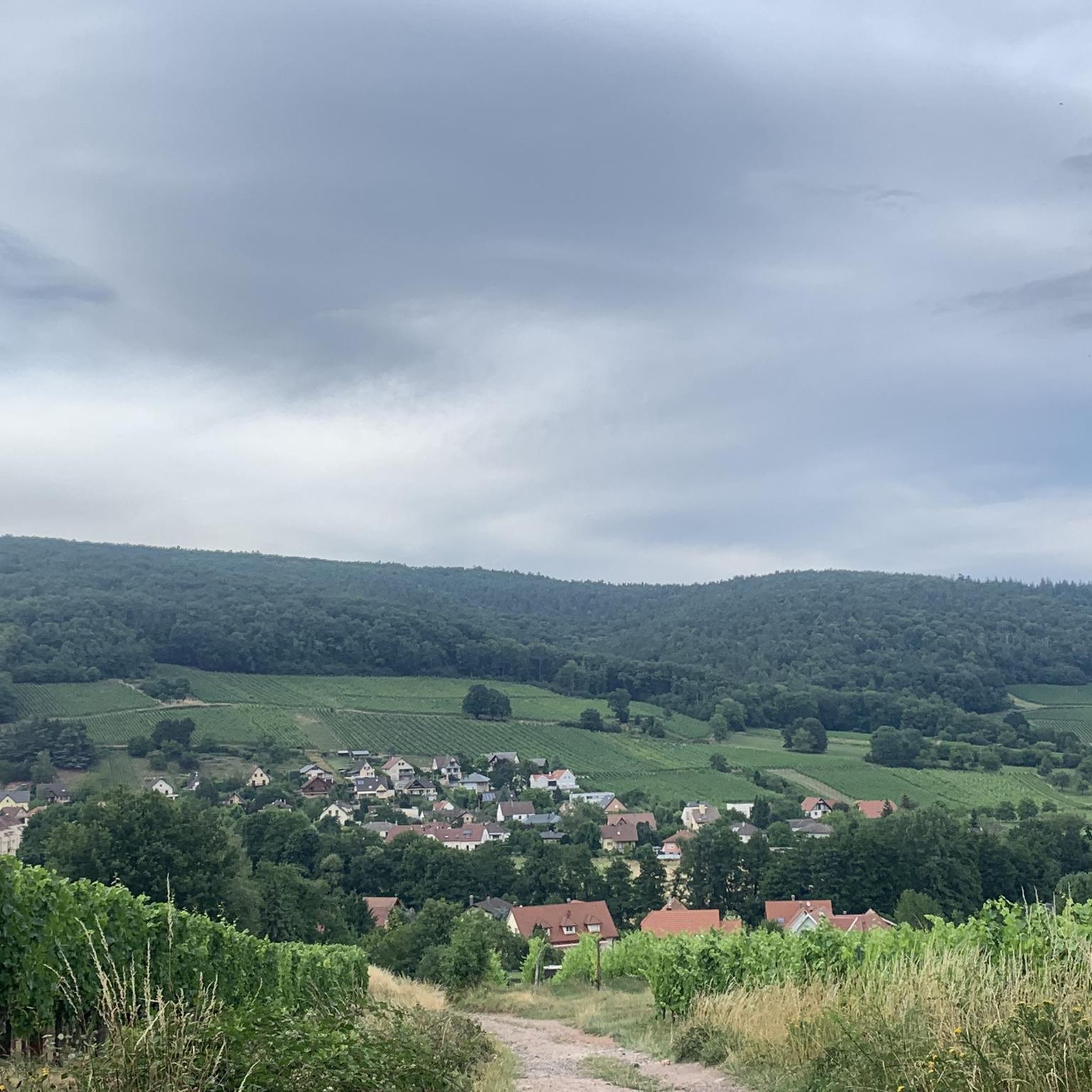
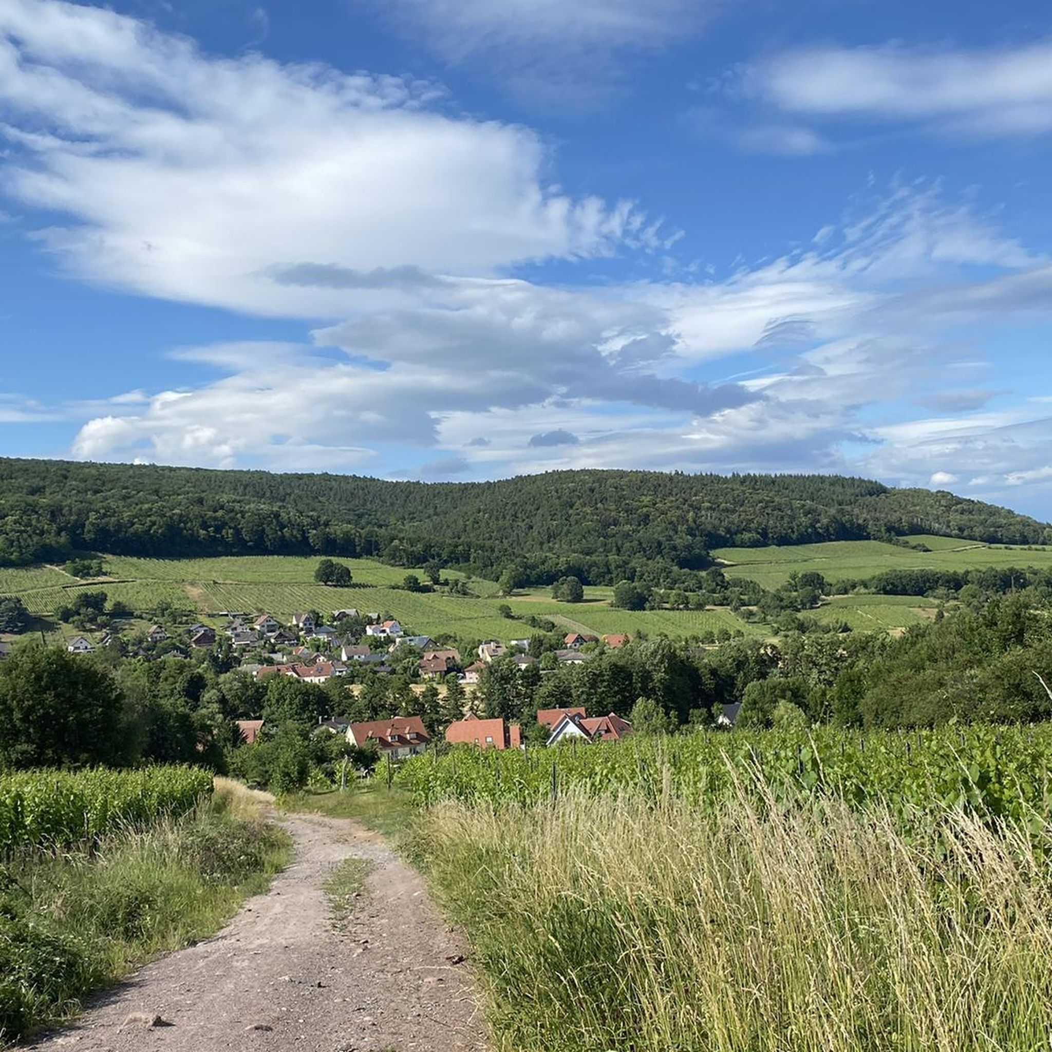
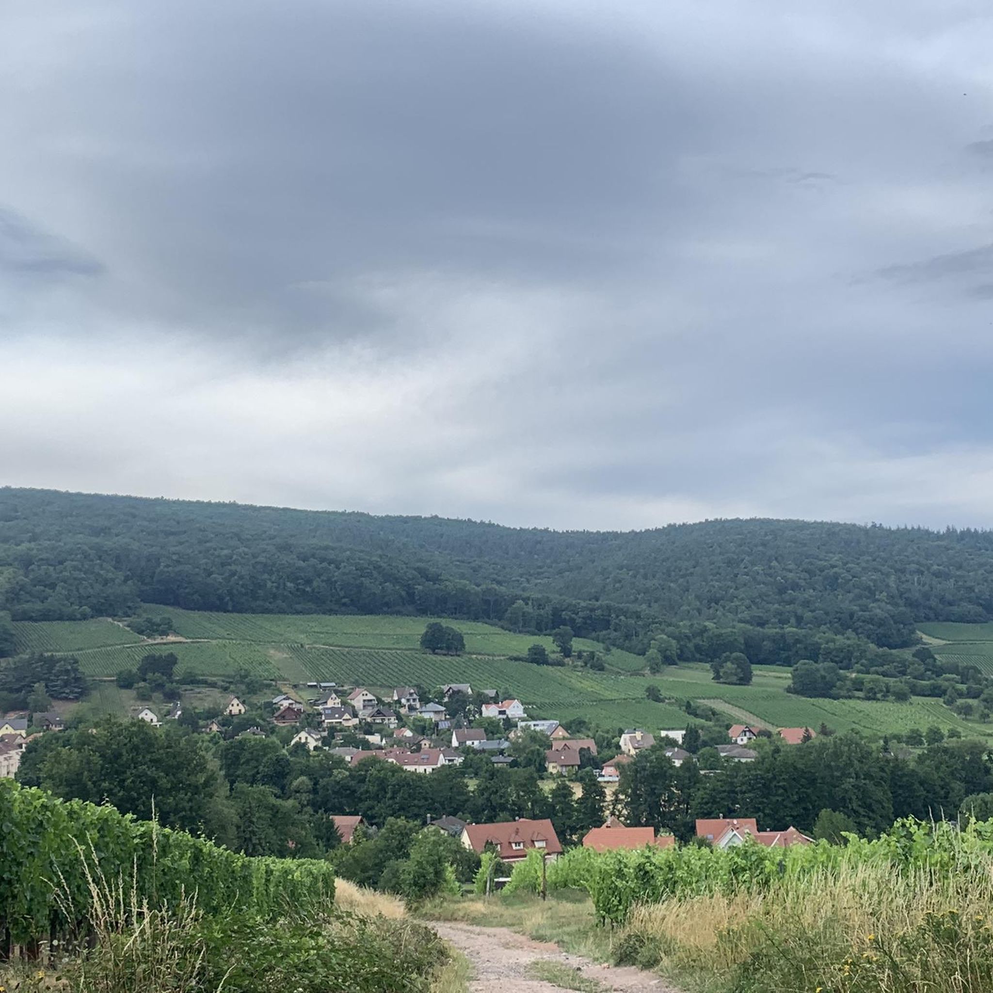
Road cycling routes around Jungholtz are situated in the foothills of the Vosges mountains, characterized by significant elevation changes and numerous mountain passes. The terrain includes a mix of forested areas, open valleys, and winding roads suitable for road bikes. This landscape transitions from gentle hills to more pronounced climbs, providing varied challenges from sustained ascents to rapid descents. The region also features prominent vineyards, particularly along the Alsace Wine Route.
Best road cycling routes around Jungholtz
- The most popular…
Last updated: August 28, 2026
4.4
(7)
147
riders
43.2km
01:59
160m
160m
Moderate road ride. Great for any fitness level. Some segments of this route may be unpaved and difficult to ride.
5.0
(7)
187
riders
49.7km
03:12
1,020m
1,020m
Hard road ride. Very good fitness required. Some segments of this route may be unpaved and difficult to ride.

Sign up for free
4.8
(4)
132
riders
33.0km
01:39
530m
530m
Moderate road ride. Good fitness required. Mostly well-paved surfaces and easy to ride.
5.0
(3)
120
riders
25.8km
01:43
620m
620m
Moderate road ride. Good fitness required. Mostly well-paved surfaces and easy to ride.
4.3
(4)
54
riders
54.1km
03:25
1,430m
1,430m
Hard road ride. Very good fitness required. Some segments of this route may be unpaved and difficult to ride.
Get access to more routes and recommendations from other explorers.
Sign up for free
Already have an account?
Our route recommendations are based on thousands of hikes, rides, and runs completed by other people on komoot.
Start today with a free account
Your next adventure awaits.
Login or Signup
Tips from the Community

Unfortunately, recently (a few weeks ago), a "Non-Potable Water" sign has been put up at the water point.
0
0

The ascent to the Col du Firstplan from Soultzbach-les-Bains is steady. The road surface is good and occasionally a tuned car whizzes past. There are few lay-bys on the roadside for a short stop, but at the top of the Col there is a picnic area.
0
0

Excellent bakery, I recommend the corn bread as well as the Süweckla, a type of small crispy bread. The baguettes are just as delicious. Not to be missed!
0
0

great descent into the valley
0
0

The view is clear.
0
0
super nice path in the shade
0
0
it's fun to ride up there
0
0
Frequently Asked Questions
How many road cycling routes are available around Jungholtz?
There are nearly 170 road cycling routes in the Jungholtz area, offering a wide range of options for different skill levels. The komoot community has highly rated these routes, with an average score of 4.4 stars.
What kind of terrain can I expect on road cycling routes near Jungholtz?
The Jungholtz region, nestled in the foothills of the Vosges mountains, features significant elevation changes and numerous mountain passes. You'll encounter a mix of forested areas, open valleys, and winding roads, providing varied challenges from sustained ascents to rapid descents.
Are there road cycling routes suitable for beginners around Jungholtz?
While the region is known for its challenging mountain terrain, there are approximately 45 easier road cycling routes available around Jungholtz. These routes typically feature less elevation gain and shorter distances, making them more accessible for those new to road cycling.
Where can I find challenging road cycling routes with significant climbs near Jungholtz?
For experienced cyclists seeking significant climbs, the Jungholtz area offers 24 difficult routes. A popular choice is the Grand Ballon – Col de la Schlucht loop from Guebwiller, which covers 61.7 miles (99.3 km) and features nearly 2,000 meters of elevation gain. Another demanding option is the Grand Ballon – Markstein loop from Guebwiller, a 52.7-mile (84.8 km) route with over 1,600 meters of climbing.
Are there any loop road cycling routes around Jungholtz?
Yes, many of the road cycling routes around Jungholtz are designed as loops, allowing you to start and finish at the same point. Examples include the Ascent to Col Amic – Amic Pass loop from Guebwiller and the Grand Ballon – Firstplan Pass loop from Guebwiller.
What scenic viewpoints can I discover while road cycling near Jungholtz?
The mountainous terrain around Jungholtz offers numerous scenic viewpoints. You can cycle towards the Grand Ballon, the highest peak in the Vosges, or visit the Viewpoint at the summit of Vieil Armand for panoramic vistas of the surrounding landscape.
Are there any interesting landmarks or natural sights along the road cycling routes?
Beyond the stunning mountain scenery, you can encounter several notable landmarks. The Grand Ballon itself is a significant natural landmark. You might also pass by the serene Ballon Lake or the historic Hartmannswillerkopf National Monument and Military Cemetery, which offers a poignant historical perspective.
What is the best season for road cycling in the Jungholtz area?
The best season for road cycling in the Jungholtz area is typically from late spring to early autumn (May to October). During these months, the weather is generally milder, and mountain passes are clear of snow, offering optimal conditions for exploring the region's challenging routes.
What do other road cyclists enjoy the most about road cycling in Jungholtz?
The area is highly rated by the komoot community, with an average score of 4.4 stars from over 500 reviews. Reviewers often praise the challenging ascents, the extensive views from the mountain passes, and the diverse terrain that caters to experienced road cyclists.
Are there any routes that include Lake Kruth-Wildenstein?
Yes, one notable route that incorporates Lake Kruth-Wildenstein is the Lake Kruth-Wildenstein – Markstein loop from Guebwiller. This route covers 79.5 miles (128 km) and offers beautiful views of the lake as part of its challenging course.
Can I find quiet road cycling routes around Jungholtz to avoid crowds?
While popular routes can see more traffic, the extensive network of nearly 170 routes means you can often find quieter roads, especially on weekdays or by exploring some of the less-traveled mountain passes and valley roads. The region's vast forested areas also contribute to a sense of tranquility.
Most popular routes around Jungholtz
Most popular attractions around Jungholtz

Get inspired with the komoot mobile app


Explore more
Browse the best Road cycling routes in other regions.
