The best walks and hikes around Rimbach Bei Gebweiler
4.6
(2845)
14,036
hikers
16
hikes
Hiking around Rimbach Bei Gebweiler offers diverse terrain within a narrow valley at 600 meters elevation, situated at the foot of the Grand Ballon. The region features peaceful valleys, dense forests, and high mountain peaks like the Grand Ballon (1,424 m) and Petit Ballon (1,272 m). Hikers can explore varied landscapes including ridge paths, elevated viewpoints, and the glacial Lac du Ballon.
Best hiking trails around Rimbach Bei Gebweiler
- The most popular hiking route is Grand Ballon – Superb panorama…
Last updated: July 9, 2026
4.7
(11)
37
hikers
Easy hike. Great for any fitness level. Easily-accessible paths. Suitable for all skill levels.
4.8
(5)
44
hikers
Moderate hike. Good fitness required. Easily-accessible paths. Suitable for all skill levels.

Sign up for free
4.6
(7)
46
hikers
Moderate hike. Good fitness required. Easily-accessible paths. Suitable for all skill levels.
4.8
(8)
25
hikers
Moderate hike. Good fitness required. Easily-accessible paths. Suitable for all skill levels.
3.3
(3)
14
hikers
Easy hike. Great for any fitness level. Easily-accessible paths. Suitable for all skill levels.
Get access to more routes and recommendations from other explorers.
Sign up for free
Already have an account?
Our route recommendations are based on thousands of hikes, rides, and runs completed by other people on komoot.
Start today with a free account
Your next adventure awaits.
Login or Signup
Tips from the Community


The Abri Munsteraeckerle in the Vosges is a hidden gem for mountain bikers. As you traverse this wooded area, you will encounter rocky paths and root-filled trails that require technical skills and concentration. The Abri Munsteraeckerle offers you a quiet place, ideal for a short break.
1
0

Beautiful, natural hiking trails through Alsace at an altitude of 980 metres. An insider tip, especially on hot days.
0
0


Water not monitored but you could potentially filter it!
2
0

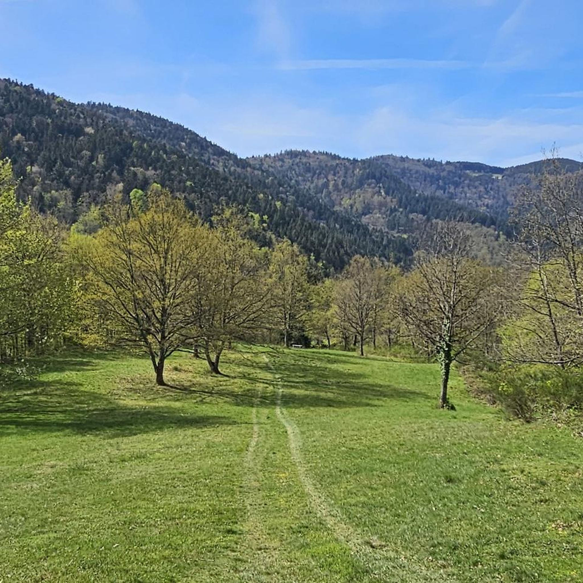
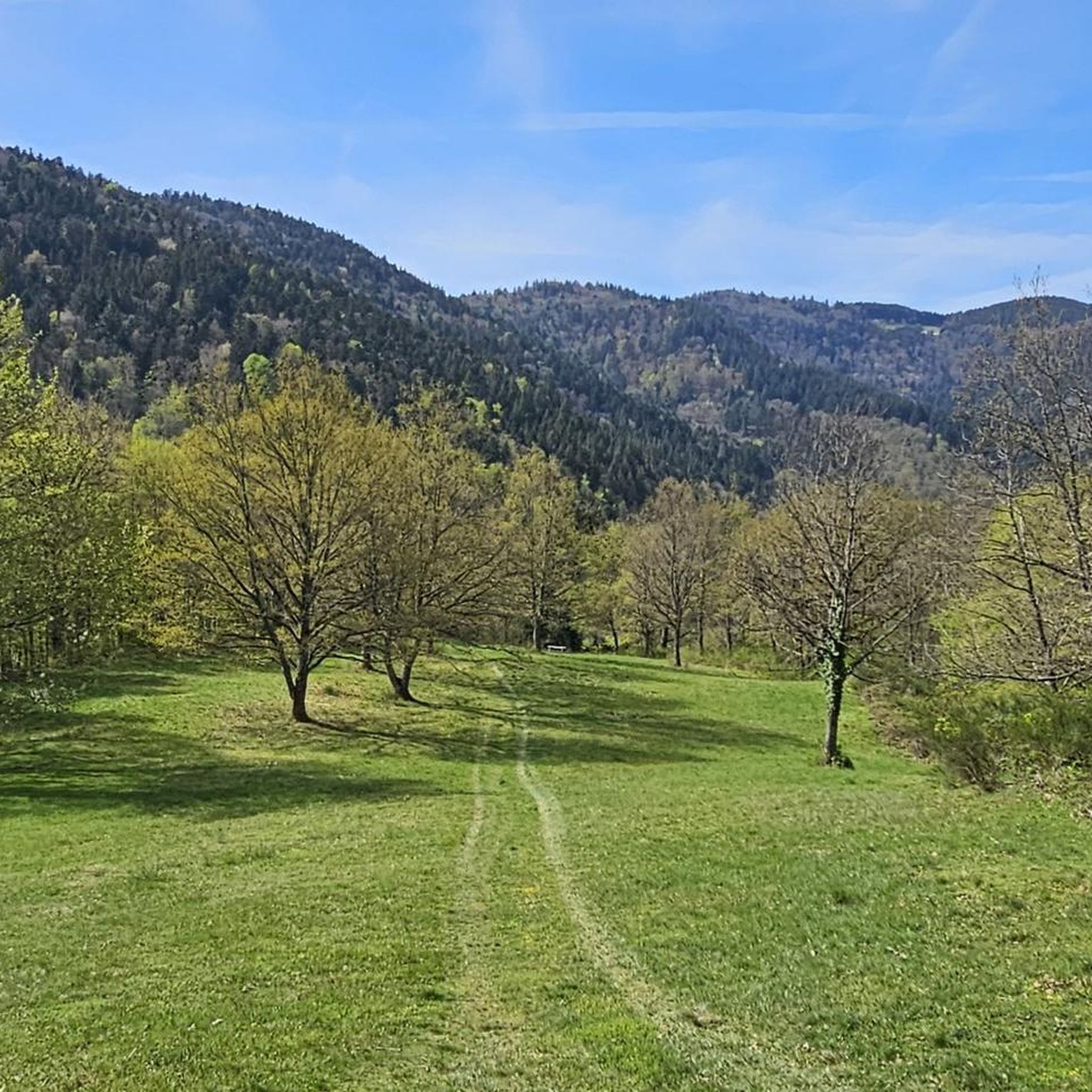
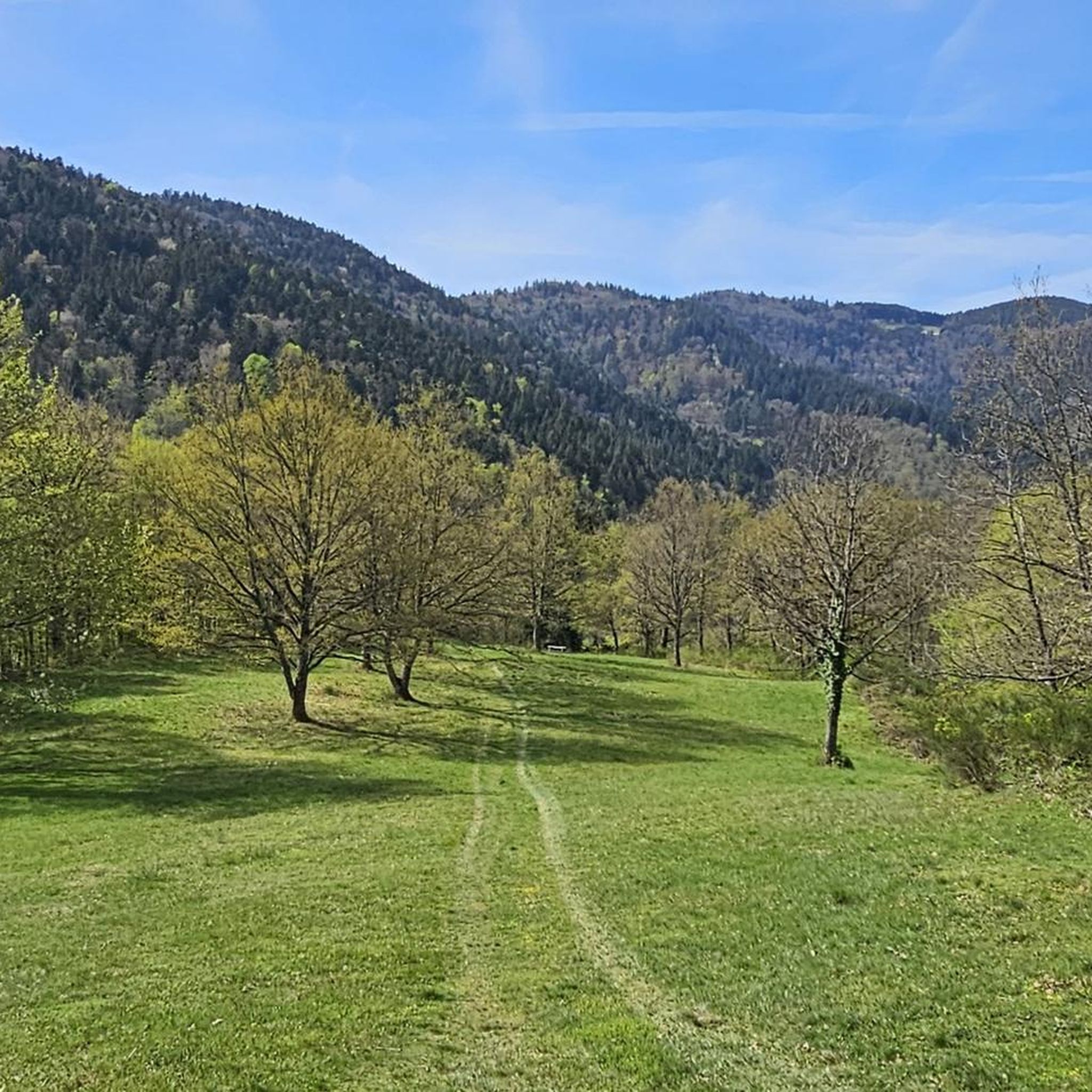
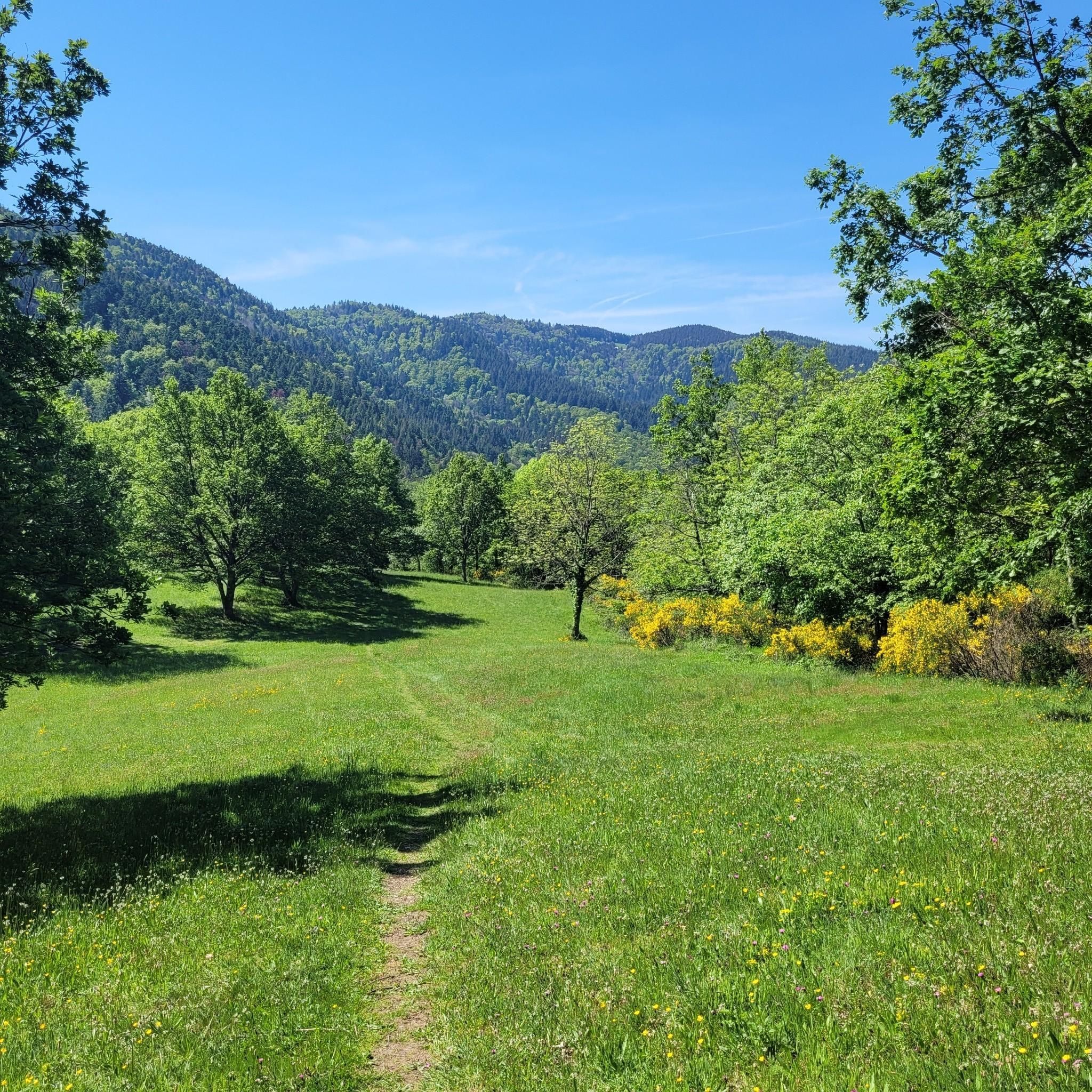
A nice picnic area stretches across the clearing at the Col de Judenhut. Seating is scattered around the small shelter, which is equipped with a grill for bad weather.
0
0
A very wonderful bare hill, which gives a clear view of the Rhine Valley. If you turn around, you can see the transmitters of the Grand Ballon. Both leave the grazing cattle that share this pretty spot with the hiker cold
1
0
Frequently Asked Questions
How many hiking trails are available in Rimbach Bei Gebweiler?
There are 17 hiking routes in Rimbach Bei Gebweiler, catering to various skill levels. You'll find 4 easy routes, 12 moderate trails, and 1 difficult option for experienced hikers.
What kind of landscapes can I expect to see while hiking in Rimbach Bei Gebweiler?
Rimbach Bei Gebweiler offers a diverse range of landscapes, from peaceful valleys and dense forests to high mountain peaks. You can expect to encounter stunning panoramic views from summits like the Grand Ballon and Petit Ballon, serene glacial lakes such as Ballon Lake, and picturesque ridge paths. Some trails also feature waterfalls, particularly those leading towards the Grand Ballon.
Are there any family-friendly hiking options in Rimbach Bei Gebweiler?
Yes, the region offers trails suitable for families. While specific 'family-friendly' routes aren't highlighted in the data, the 4 easy routes available provide good starting points for shorter, less strenuous walks. Look for trails with lower elevation gain and shorter distances for a pleasant family outing.
Are there any circular walks in the area?
Yes, many of the trails in Rimbach Bei Gebweiler are designed as circular routes. For example, the Judenhut Pass (976 m) – Ebeneck Summit View loop is a moderate 7.5 km circular trail, and the more challenging Grand Ballon – Superb panorama of the Vosges loop offers extensive views over 19.2 km.
What are some notable landmarks or viewpoints I can discover on the trails?
Hikers can enjoy magnificent panoramic views from the summits of the Grand Ballon and Petit Ballon, which on clear days can extend across the Rhine Valley to the distant Alps. The Ballon Lake is another beautiful natural feature. You might also encounter the monument to the 'Blue Devils' on the Grand Ballon summit or the historic Murbach Abbey in the Murbach Valley.
What do other hikers enjoy most about hiking in Rimbach Bei Gebweiler?
The area is highly rated by the komoot community, with an average score of 4.6 stars from over 2500 reviews. Hikers frequently praise the diverse terrain, from peaceful forests to challenging mountain ascents, and the superb panoramic views from the high peaks. The well-maintained trail network and the opportunity to experience the authentic Vosges landscape are also highly appreciated.
Are there places to eat or stay overnight near the hiking trails?
Yes, the region is known for its traditional farm inns (Ferme Auberge), such as the 'Glashütte,' which are often located within walking distance of popular hiking spots. These offer opportunities for traditional meals and some provide overnight stays, enriching the hiking experience. You can also find huts like the Kahlenwasen Farm Inn and the Grand Ballon Chalet Hotel.
What is the best time of year to go hiking in Rimbach Bei Gebweiler?
The region offers hiking opportunities throughout much of the year. Spring and autumn provide pleasant temperatures and beautiful scenery with blooming flowers or vibrant fall foliage. Summer is ideal for higher altitude trails and longer days. Winter hiking is also possible, especially on lower elevation trails, but higher peaks may require appropriate gear and conditions should be checked due to snow and ice.
Is it possible to access hiking trails using public transport?
While Rimbach Bei Gebweiler is nestled in a valley, public transport options to access trailheads might be limited. It's advisable to check local bus schedules or consider driving to key starting points. For detailed information on local transport, you may want to consult the official tourism website for Alsace: visit.alsace.
Are there any easy hiking trails for beginners?
Yes, there are 4 easy routes available in Rimbach Bei Gebweiler, perfect for beginners or those looking for a relaxed stroll. An example is the Ausblick in das Rhein-Tal – Munstereackerle loop, which is an easy 5.3 km trail offering pleasant views with minimal elevation gain.
Can I find challenging day hikes in Rimbach Bei Gebweiler?
Absolutely. For experienced hikers seeking a challenge, the region offers difficult routes like the Grand Ballon – Superb panorama of the Vosges loop. This 19.2 km trail involves significant elevation gain (over 900m) and takes approximately 6 hours 28 minutes to complete, rewarding hikers with extensive views across the Vosges.
Most popular routes around Rimbach Bei Gebweiler
Most popular attractions around Rimbach Bei Gebweiler

Get inspired with the komoot mobile app


Explore more
Browse the best Hikes in other regions.
