The best road cycling routes around Rochefort
4.4
(258)
5,979
riders
145
rides
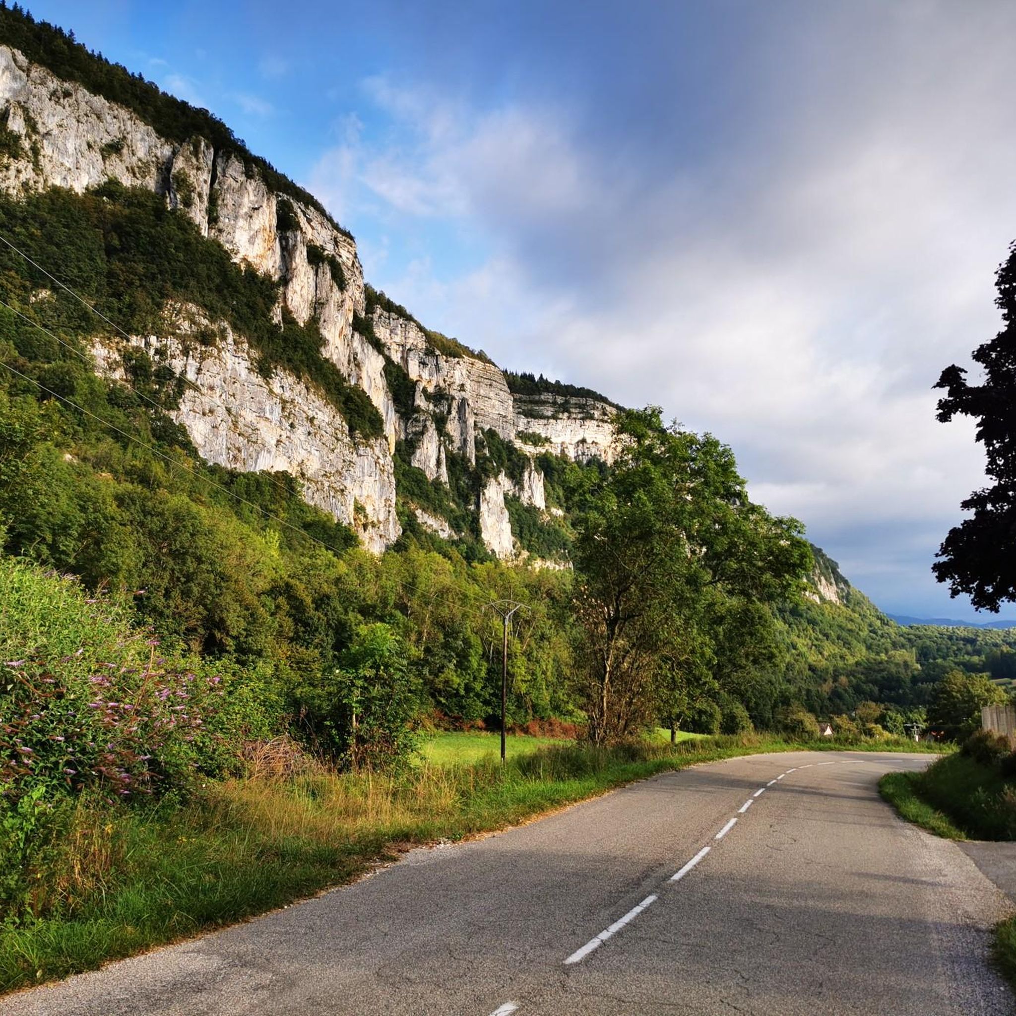
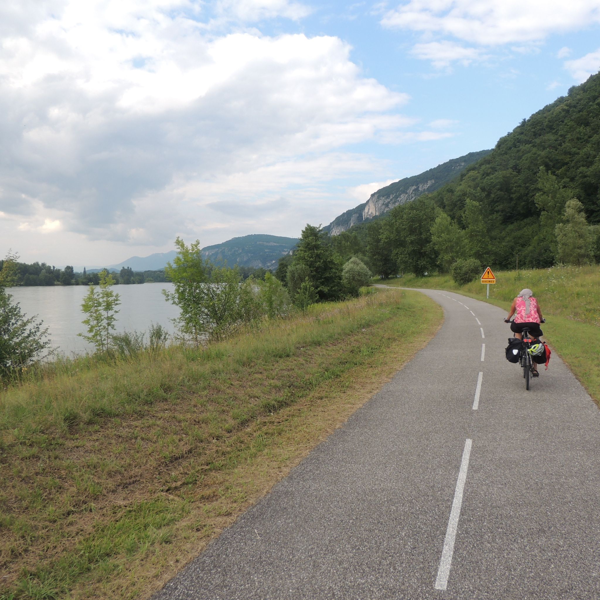
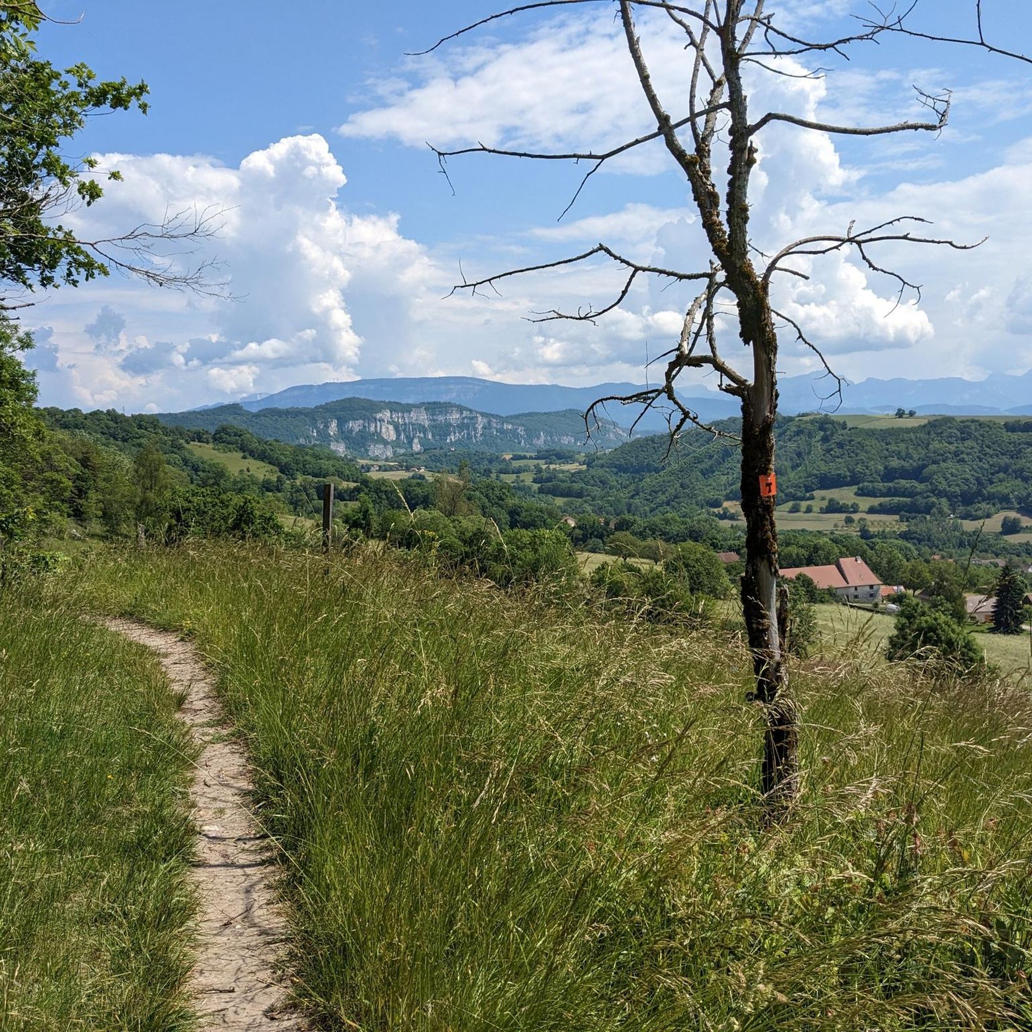
Road cycling routes around Rochefort traverse a landscape characterized by significant elevation changes, including numerous passes and cols. The region features a mix of open roads with panoramic viewpoints and routes that navigate around natural features such as lakes. Road cyclists can expect varied terrain, from challenging ascents to more undulating sections.
Best road cycling routes around Rochefort
- The most popular road cycling route is Crusille Pass (573 m) – Banchet Pass (590 m) loop from Belmont-Tramonet, a 31.7…
Last updated: November 1, 2026
4.2
(11)
299
riders
69.6km
03:45
1,340m
1,340m
Hard road ride. Very good fitness required. Some segments of this route may be unpaved and difficult to ride.
5.0
(5)
176
riders
84.0km
05:02
2,050m
2,050m
Hard road ride. Very good fitness required. Some segments of this route may be unpaved and difficult to ride.

4.7
(9)
156
riders
Moderate road ride. Good fitness required. Some segments of this route may be unpaved and difficult to ride.
5.0
(5)
191
riders
73.4km
04:17
1,660m
1,660m
Hard road ride. Very good fitness required. Some segments of this route may be unpaved and difficult to ride.
5.0
(3)
151
riders
77.5km
04:22
1,560m
1,560m
Hard road ride. Very good fitness required. Some segments of this route may be unpaved and difficult to ride.
Get access to more routes and recommendations from other explorers.
Already have an account?
Our route recommendations are based on thousands of hikes, rides, and runs completed by other people on komoot.
Start today with a free account
Your next adventure awaits.


Tips from the Community

This is a spot highly appreciated by local cyclists for its tranquility, its little-used roads, and its shaded forest paths. Several slopes allow access to it
0
0

Proper climb from Chambery, beautiful views of the Chartreuse.
0
0
Divided village, Savoie and Isère, as well as churches and restaurants.
2
0
Small street, beautiful views.
2
0
Castle of the Templars, currently under renovation.
2
0
Unfortunately, the D1006 is heavily trafficked, but luckily mostly with a bike lane uphill. No major climbs, but it drags on.
2
0

I love this village. It's an ideal starting point for a hike to the Cirque de Saint-Même.
0
0
Frequently Asked Questions
How many road cycling routes are available around Rochefort?
There are over 140 road cycling routes around Rochefort, offering a wide range of options for different skill levels. You'll find everything from moderate climbs to challenging, extended ascents.
What is the typical difficulty level of road cycling routes in Rochefort?
The region is known for significant elevation changes, including numerous passes and cols. While there are 13 easy routes, the majority are moderate (86 routes) or difficult (43 routes), providing sustained climbing and descents.
Are there any family-friendly road cycling options in Rochefort?
While many routes feature challenging climbs, there are 13 routes classified as easy. These typically have less elevation gain and shorter distances, making them more suitable for families or those new to road cycling. Look for routes starting from flatter areas or around lakes for gentler terrain.
What kind of scenery can I expect on road cycling routes around Rochefort?
Road cycling routes in Rochefort offer a diverse landscape, including open roads with panoramic viewpoints, routes navigating around natural features like Lac d'Aiguebelette, and paths through mountain passes. You'll encounter scenic vistas and varied terrain throughout the region.
Are there any loop road bike trails in Rochefort?
Yes, many of the road cycling routes in Rochefort are designed as loops. For example, the popular Crusille Pass (573 m) – Banchet Pass (590 m) loop from Belmont-Tramonet is a 31.7-mile trail featuring two distinct passes. Another option is the Col du Mont Tournier (851 m) – Crusille Pass (573 m) loop from Lépin le Lac - La Bauche.
What are some notable viewpoints or landmarks along the road cycling routes?
Many routes offer stunning views. You can find significant viewpoints such as Mont Grêle Viewpoint and Mont de Cordon Viewpoint. Routes often traverse mountain passes like Épine Pass and Saint-Michel Pass, which also provide expansive vistas.
Can I find routes that pass by natural attractions like waterfalls or lakes?
Absolutely. Several routes navigate around natural features. For instance, the Lac d'Aiguebelette – Refill your bidon here! ☝ loop from Lépin le Lac - La Bauche takes you past the beautiful Lac d'Aiguebelette. You can also find routes near the Glandieu Waterfall or the Waterfalls of the Ruisseau de la Pissoire.
What do other road cyclists enjoy most about the routes in Rochefort?
The road cycling routes in Rochefort are highly rated by the komoot community, with an average score of 4.5 stars from over 190 reviews. Cyclists often praise the challenging mountain passes, the scenic viewpoints, and the varied terrain that offers both demanding climbs and undulating sections.
What is the best time of year for road biking in Rochefort?
Given the region's significant elevation changes and mountain passes, spring through autumn generally offers the most favorable conditions for road cycling. Summers are ideal for higher elevations, while spring and autumn provide pleasant temperatures for routes at lower altitudes. Always check local weather forecasts before heading out.
Are there any routes that include a stop for refreshments or cafes?
While specific cafes are not listed for every route, many routes start or pass through towns and villages like Lépin le Lac - La Bauche or Belmont-Tramonet, where you can typically find options for refreshments. The route Lac d'Aiguebelette – Refill your bidon here! ☝ loop from Lépin le Lac - La Bauche even highlights a spot to refill your bidon.
How long do road cycling routes in Rochefort typically take to complete?
The duration varies significantly based on the route's length and difficulty. For example, a moderate 31.7-mile route like the Crusille Pass (573 m) – Banchet Pass (590 m) loop from Belmont-Tramonet takes about 2 hours 31 minutes. More difficult and longer routes, such as the 48.1-mile Col du Mont Tournier (851 m) – Crusille Pass (573 m) loop from Lépin le Lac - La Bauche, can take around 4 hours 22 minutes.
Most popular attractions around Rochefort

Get inspired with the komoot mobile app


Explore more
Browse the best Road cycling routes in other regions.
