The best walks and hikes around Lautenbach
4.6
(1061)
5,302
hikers
58
hikes
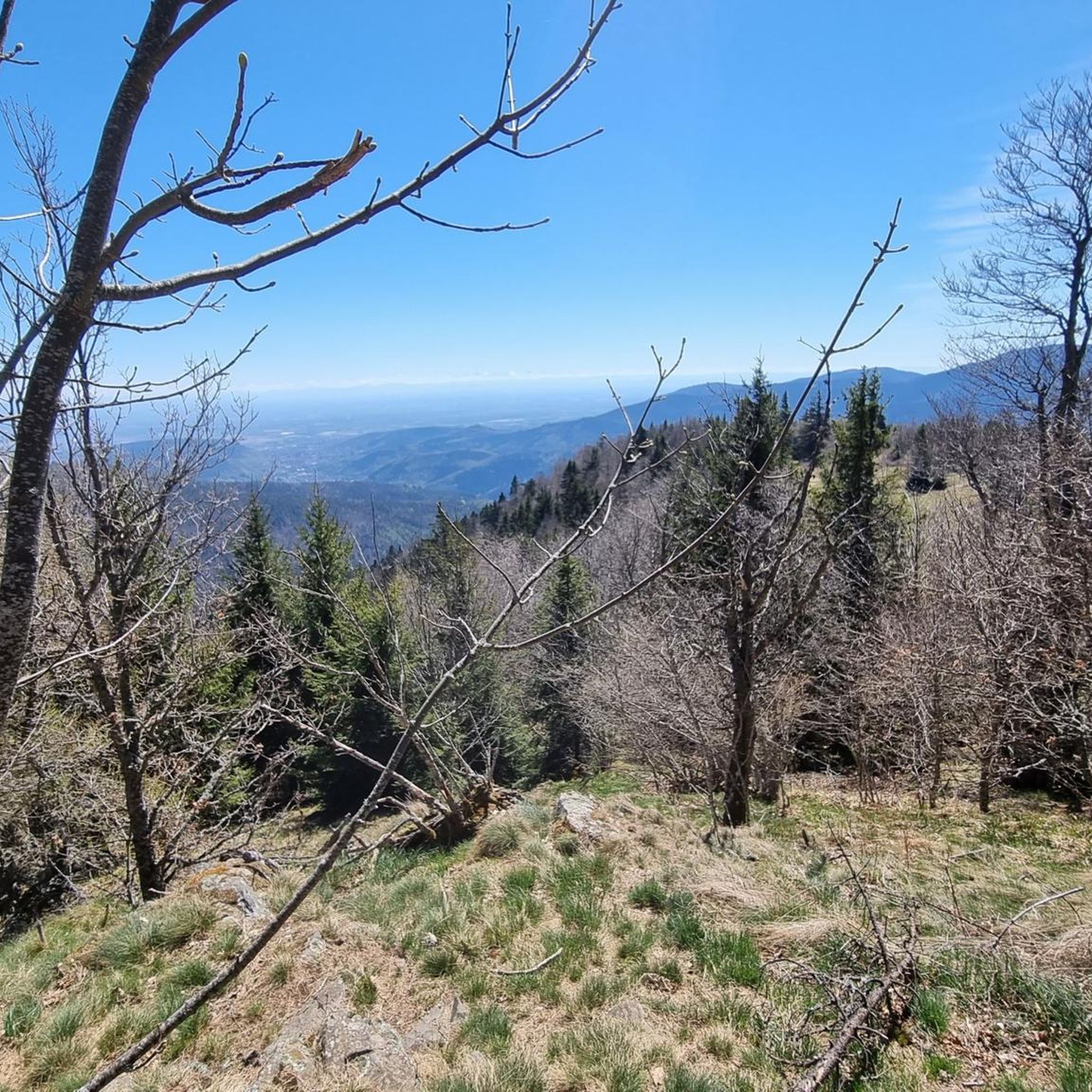
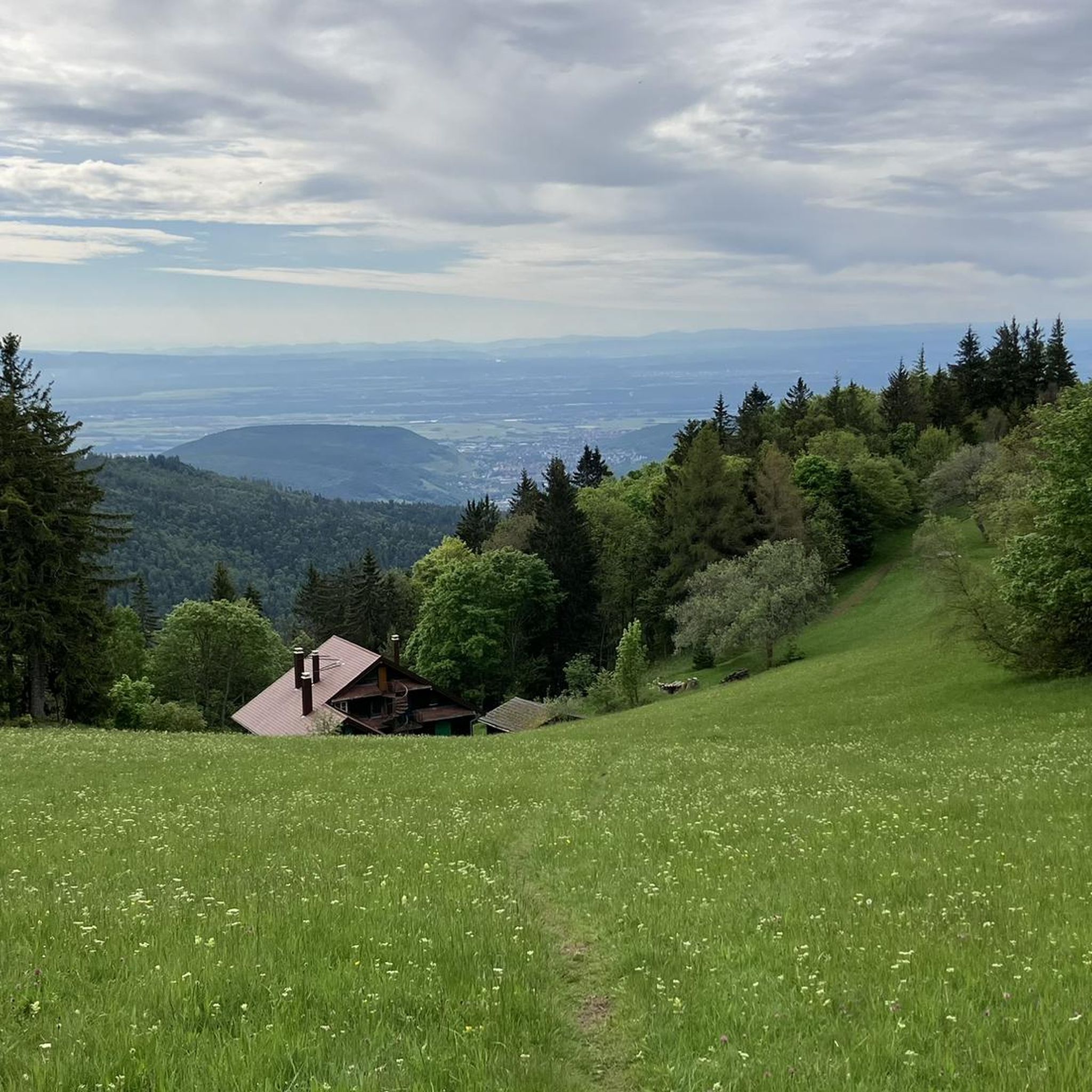
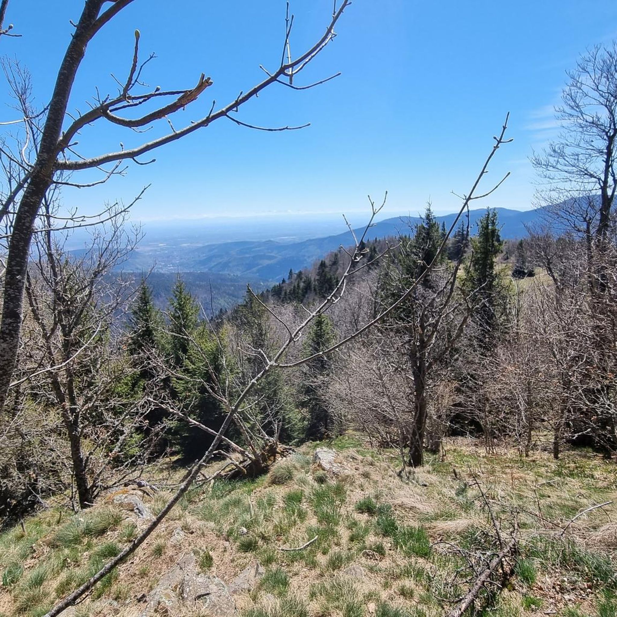
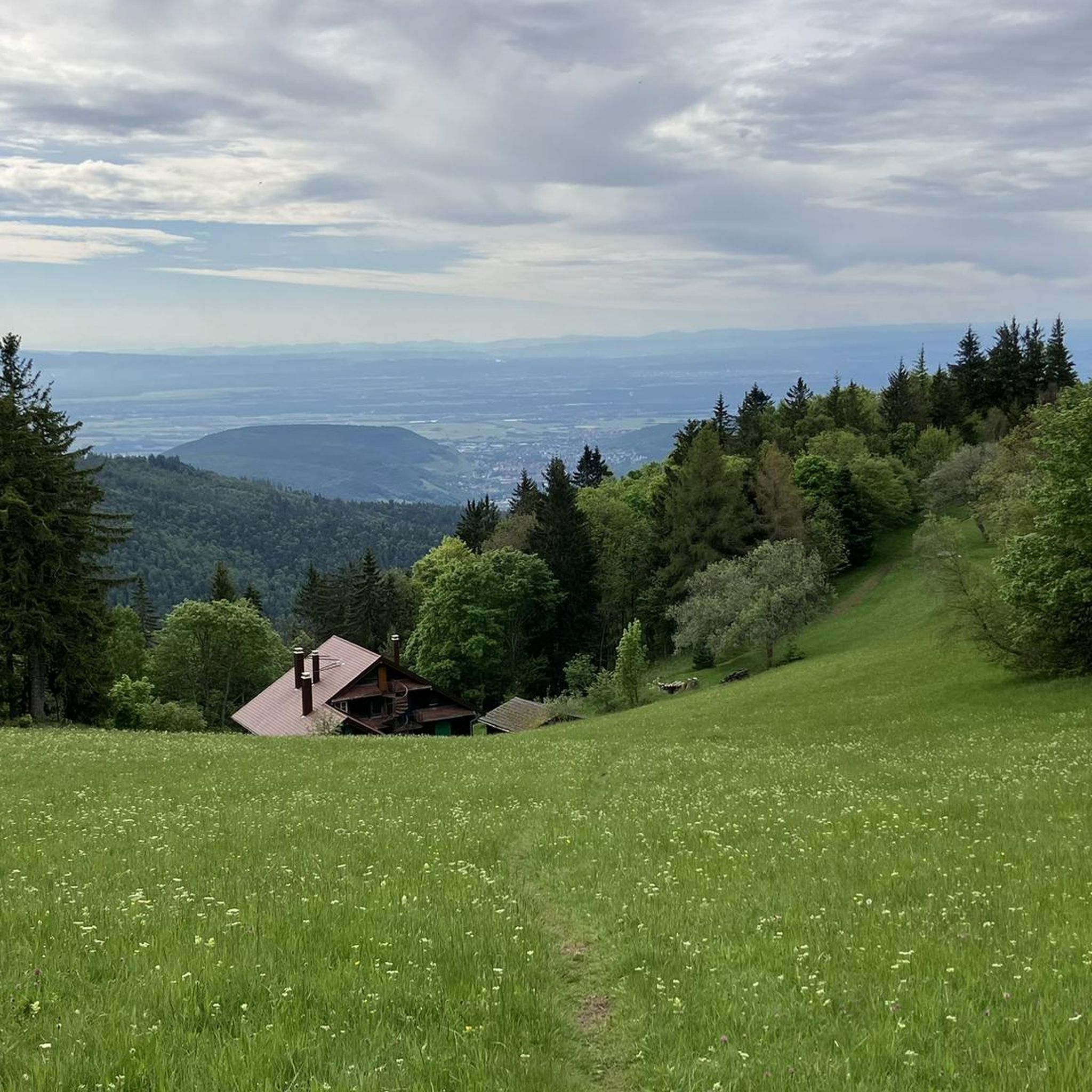
Hiking around Lautenbach offers diverse landscapes within Germany's Black Forest region. The area features picturesque mountainous terrain, including the Rench Valley, extensive vineyards, and varied forests with beech, maple, ash, and conifer stands. Natural attractions like the Gaishöll Waterfalls and the Felsenmeer boulder field contribute to the region's varied topography, providing options for both gentle slopes and challenging climbs.
Best hiking trails around Lautenbach
- The most popular hiking route is Petit Ballon Loop via GR 532, a 6.2 miles…
Last updated: June 23, 2026
4.7
(54)
225
hikers
9.93km
03:23
420m
420m
Hike the moderate Petit Ballon Loop via GR 532 for 6.2 miles (9.9 km) in the Vosges, featuring panoramic summit views.
4.6
(83)
297
hikers
Moderate hike. Good fitness required. Mostly accessible paths. Sure-footedness required.

Sign up for free
4.6
(8)
37
hikers
4.71km
01:38
260m
260m
Easy hike. Great for any fitness level. Easily-accessible paths. Suitable for all skill levels.
5.0
(4)
44
hikers
6.91km
02:27
380m
380m
Moderate hike. Good fitness required. Mostly accessible paths. Sure-footedness required.
4.8
(8)
23
hikers
8.94km
02:56
390m
390m
Moderate hike. Good fitness required. Easily-accessible paths. Suitable for all skill levels.
Get access to more routes and recommendations from other explorers.
Sign up for free
Already have an account?
Our route recommendations are based on thousands of hikes, rides, and runs completed by other people on komoot.
Start today with a free account
Your next adventure awaits.
Login or Signup

Tips from the Community

A challenge on a mountain bike without a motor. But the downhill trails are great. It's worth it 👍🏻
2
0

At this location you will find a shelter, picnic table and water tap
0
0

At many points along the route, you can get on and start hiking. There are ample parking spaces for hikers, as well as farms with refreshment stops.
0
0

Perfect outing at the start of the season to get back into shape
0
0

A pretty little monastery garden in the center of the ancient walls.
3
0
The small chapel is accessible via a beautiful trail lined with old stone crosses. In addition to visiting the pretty chapel, visitors can also enjoy magnificent views of the monastery below.
4
1

A statue of the Virgin watches over the valley from the summit of Petit Ballon. It was erected by the tenant of the Ballon farm in 1862 after surviving a violent snowstorm in 1860.
1
0
Frequently Asked Questions
How many hiking trails are available around Lautenbach?
Lautenbach offers a wide variety of hiking experiences, with over 60 routes recorded on komoot. These range from easy strolls to more challenging ascents, catering to different skill levels.
What kind of terrain can I expect on hikes in Lautenbach?
The terrain around Lautenbach is incredibly diverse. You'll find picturesque mountainous landscapes, including the Rench Valley, extensive vineyards, and varied forests with beech, maple, ash, and impressive conifer stands. The region features both gentle slopes and more challenging climbs, offering something for every hiker.
Are there any hikes with waterfalls in the Lautenbach area?
Yes, the wild and romantic Gaishöll Waterfalls and gorges are a significant natural attraction near Lautenbach. Hikers can explore narrow paths, stairs, and bridges offering varying perspectives of the cascading water. The Allerheiligen waterfall is another notable water feature in the broader region.
What are some family-friendly hiking options in Lautenbach?
For families, the "Wilde Wege" nature trail, also known as the Adventure trail Mara Ladybug, is an excellent choice. It features informative panels about local flora and fauna and includes child-friendly picnic areas, making it an engaging experience for all ages.
Are there any circular hiking routes around Lautenbach?
Many routes in the Lautenbach area are designed as circular trails, allowing you to start and end at the same point. For example, the Petit Ballon Loop via GR 532 is a popular moderate circular route offering scenic views. Another option is the Murbach Abbey – Our Lady of Loretto Chapel loop from Lautenbach.
What are some notable points of interest or landmarks to see while hiking?
Beyond the natural beauty, you can discover historical and natural landmarks. The region features the Adlerhorst Command Post – World War I and the Veilchenstein German WW1 Bunker, offering glimpses into history. Natural features like the Felsenmeer boulder field and the idyllic circular trail around the Biberkopfsee lake are also worth exploring.
What do other hikers enjoy most about hiking in Lautenbach?
The hiking routes in Lautenbach are highly rated by the komoot community, with an average score of 4.6 stars from over 900 reviews. Hikers frequently praise the diverse landscapes, from vineyards to dense forests, and the well-maintained trails that offer options for all ability levels.
When is the best time of year to go hiking in Lautenbach?
The best times for hiking in Lautenbach are spring and autumn. Spring brings nature into full bloom, while autumn offers warm colors and clear skies, making for particularly picturesque hikes. The unique microclimate also allows for early growth of strawberries in spring.
Are there challenging hikes available for experienced hikers?
Yes, Lautenbach offers challenging routes for experienced hikers. The terrain includes significant ascents and varied topography. For an alpine-like experience with spectacular views, the Karlsruher Grat rocky ridge is a notable option, though it requires sure-footedness.
Is there public transport access to hiking trails in Lautenbach?
Lautenbach is well-integrated into the regional transport network. While specific trailheads may vary, public transport options are generally available to reach the area, and local services can often connect you to popular starting points for hikes. It's advisable to check local bus schedules for specific routes.
Are there any historical sites or ruins accessible via hiking trails?
Absolutely. The region is rich in history. The Bischofshut Tunnels and Ruins – Hartmannswillerkopf (HWK) are accessible, offering insights into World War I history. Additionally, the Lautenbacher Wandersteig premium trail meanders past historical gems like the Hohenschramberg castle ruins and mountain chapels.
Can I find places to rest or eat near the trails?
Yes, the area around Lautenbach has facilities for hikers. You can find farm inns like the Kahlenwasen Farm Inn and the Strohberg Farm Inn, which are often located along or near popular routes, providing opportunities for refreshments and rest.
Most popular routes around Lautenbach
Most popular attractions around Lautenbach

Get inspired with the komoot mobile app


Explore more
Browse the best Hikes in other regions.
