The best walks and hikes around Dio-Et-Valquières
4.3
(657)
3,534
hikers
158
hikes
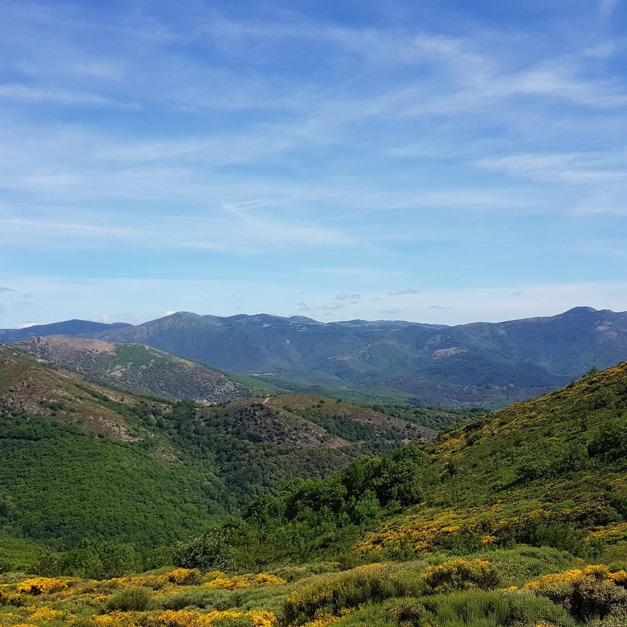
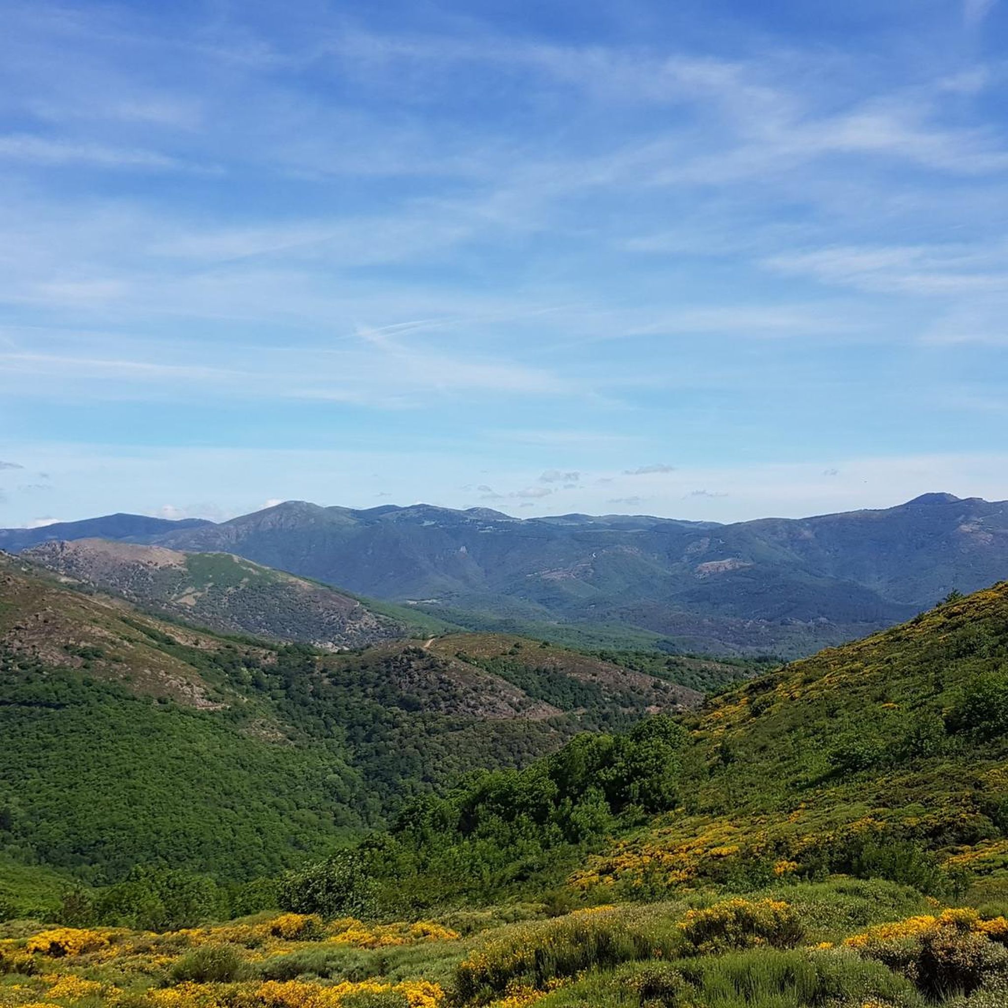
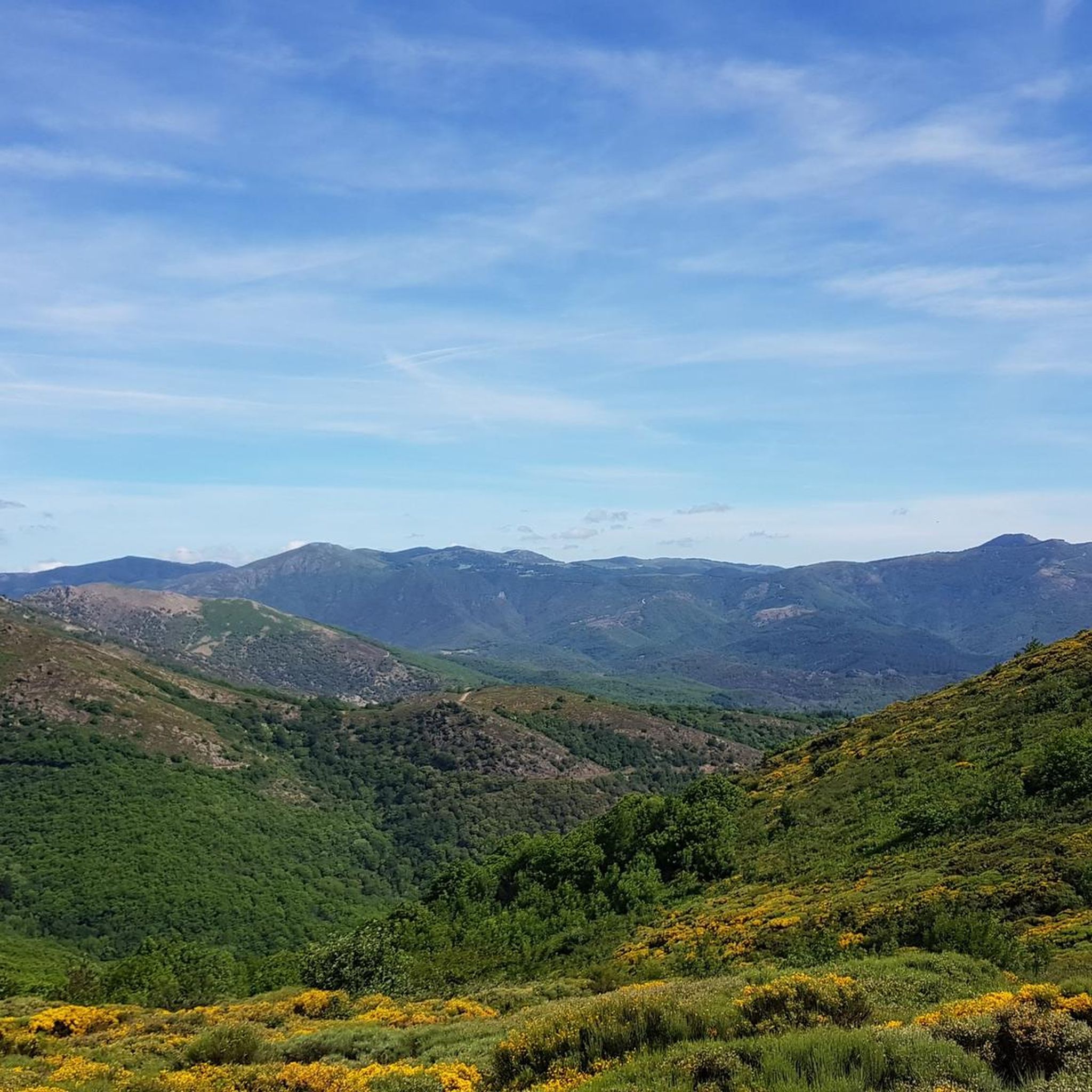
Hiking around Dio-Et-Valquières offers diverse landscapes within the Haut-Languedoc region. The terrain features low mountains, valleys of red lands known as "ruffes," and extensive forests. Limestone cliffs frame the area, which also includes a plateau at the foot of the volcanic massif of Escandorgue. This geological diversity provides varied colors and expansive natural spaces for exploration.
Best hiking trails around Dio-Et-Valquières
- The most popular hiking route is Permian basin – Brenas loop from Brenas, a 4.3 miles (6.9 km)…
Last updated: June 25, 2026
4.7
(3)
19
hikers
6.89km
02:03
210m
210m
Moderate hike. Good fitness required. Easily-accessible paths. Suitable for all skill levels.
4.0
(1)
18
hikers
5.82km
01:48
200m
200m
Easy hike. Great for any fitness level. Easily-accessible paths. Suitable for all skill levels.

Sign up for free
4.7
(3)
10
hikers
8.30km
02:27
250m
250m
Moderate hike. Good fitness required. Easily-accessible paths. Suitable for all skill levels.
5.0
(3)
7
hikers
13.9km
04:11
420m
420m
Moderate hike. Good fitness required. Easily-accessible paths. Suitable for all skill levels.
5.0
(1)
4
hikers
12.4km
03:50
390m
390m
Moderate hike. Good fitness required. Mostly accessible paths. Sure-footedness required.
Get access to more routes and recommendations from other explorers.
Sign up for free
Already have an account?
Our route recommendations are based on thousands of hikes, rides, and runs completed by other people on komoot.
Start today with a free account
Your next adventure awaits.
Login or Signup
Popular around Dio-Et-Valquières

Tips from the Community

This old well in Vanquières was once used for washing laundry
5
0

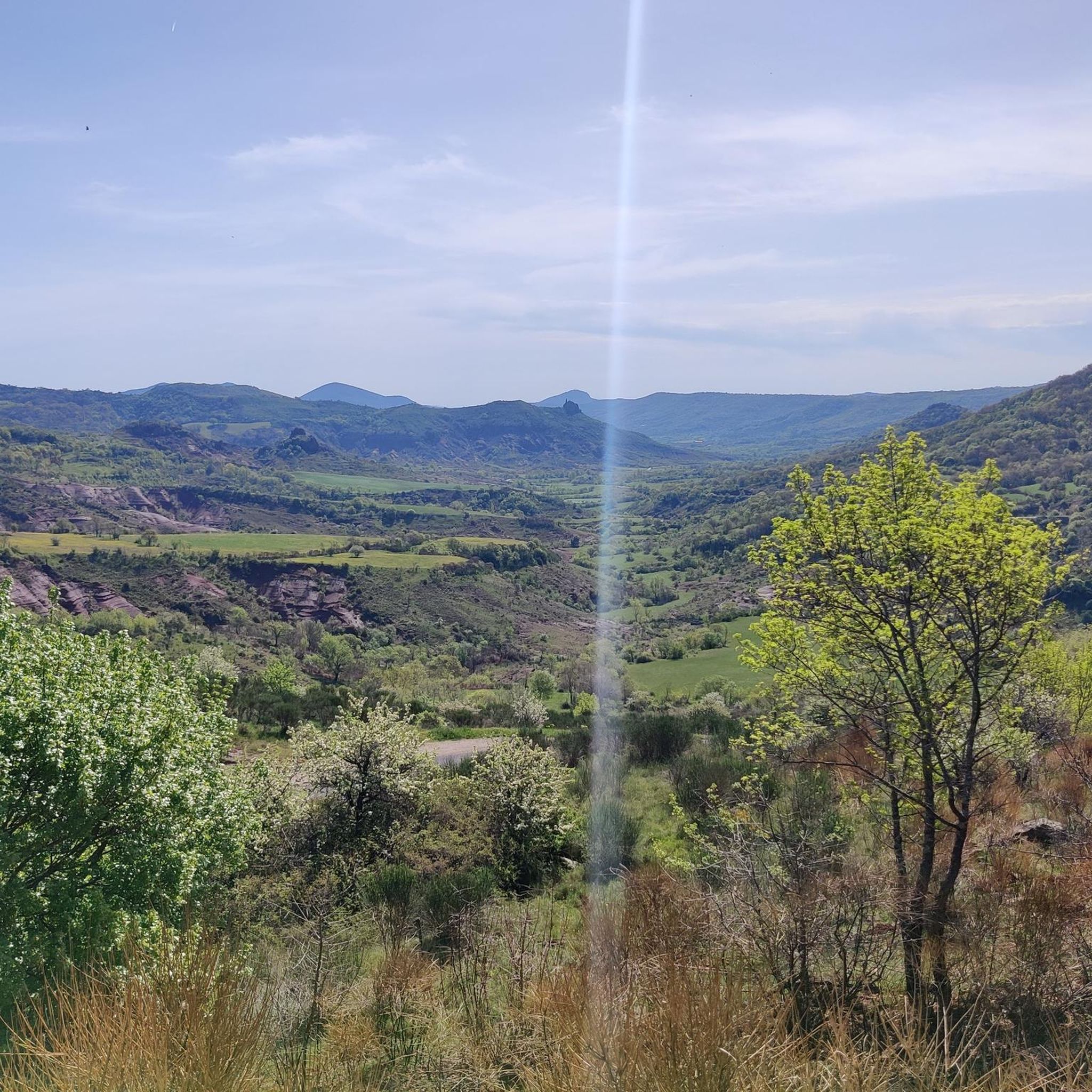
Brenas is a ‘special’ place, a hinge between the Monts d’Orb and the Salagou lake, with its incredible charm. The village overlooks the Salagou valley and its cattle and sheep farms that provide the milk for Roquefort cheese. The source of the Salagou river is located at the Col de la Merquière, the boundary of the commune with Dio Valquières and Carlencas. On the descent after Brenas and the Mas bas, an impressive viewpoint over a canyon of ruffes: in the background, the castellas de Mérifons, built on a volcanic peak. In spring, the contrasts of colours are striking. The bright yellow of the flowering broom mixes with the green of the holm oaks and the red of the ruffe: welcome to the Grand Site Salagou – Cirque de Mourèze!
0
0
A visual shock: you arrive in Dio! Sheltered by white limestone cliffs and emerging from the red earth characteristic of the surroundings of Lake Salagou, the village nestles under the imposing silhouette of its castle, a true legendary fortress. Its construction began in the 11th century to defend the border between Aquitaine, which had become a possession of the English, and Languedoc. The castle, renovated over the past twenty years by its current owner, hosts events and guided tours. The medieval hamlet is also currently being renovated and hosts several tourist accommodations. Friendly advice: stop off at Castelou, at Fred and Michel's... Passionate about the great outdoors, they are the perfect hosts!
0
0

This 11th and 14th century castle, somewhat isolated, is a medieval stronghold. It is classified as a historic monument and has benefited from several restorations in recent years.
3
0

A photo break before tackling the steep climb.
2
0

Frequently Asked Questions
What types of landscapes can I expect to see while hiking in Dio-Et-Valquières?
Dio-Et-Valquières offers a remarkably diverse landscape within the Haut-Languedoc region. You'll encounter low mountains, striking valleys of red lands known as "ruffes," and extensive forests. The area is framed by dramatic limestone cliffs and features a plateau at the foot of the volcanic massif of Escandorgue. This geological variety creates magnificent and colorful panoramas, with a palette of white limestone, black basalt, and vibrant red ruffes.
Are there many hiking options available in Dio-Et-Valquières?
Yes, Dio-Et-Valquières boasts a wide array of hiking opportunities. There are over 140 routes available, catering to various skill levels. These trails explore the region's unique natural features, from the distinctive red lands of the Permian basin to expansive views of the Haut-Languedoc scenery.
Are there easy hiking trails suitable for beginners or casual walkers?
Absolutely. Dio-Et-Valquières offers nearly 50 easy hiking routes. An excellent option is the Brenas loop from Brenas, a 3.6-mile (5.8 km) trail that leads through the valleys around Brenas and can be completed in under two hours. Another accessible choice is the What a beautiful village. 🥰🥰 loop from Lunas, a shorter 4.4 km route.
Can I find more challenging hikes in the area?
Yes, for those seeking a greater challenge, there are 8 difficult routes and nearly 90 moderate trails available. These routes often feature more significant elevation gains and cover longer distances, allowing you to explore the more rugged parts of the low mountains and volcanic terrain.
Are there any circular hiking routes in Dio-Et-Valquières?
Many of the trails in Dio-Et-Valquières are designed as circular routes, offering convenient starting and ending points. For example, the Permian basin – Brenas loop from Brenas is a popular moderate 4.3-mile (6.9 km) circular trail exploring the distinctive red lands. Another option is the Château de Dio – Dio Ridges Walk loop from Dio-et-Valquières, which offers views and historical interest.
What are some notable natural attractions or landmarks to see while hiking?
Beyond the trails themselves, the region is rich in natural and historical points of interest. You can observe the unique red ruffes of the Salagou valley and the volcanic massif of Escandorgue. From certain viewpoints, such as near the Saint Amans chapel, you might even catch vistas stretching to the Golfe du Lion and the Pyrénées. The area also features "capitelles," traditional dry-stone shepherd shelters, adding historical charm.
Are there any castles or historical sites near the hiking trails?
Yes, the area around Dio-Et-Valquières is dotted with historical sites. You can explore the charming settlement of Lunas, the Boussagues Medieval Village, or the ruins of Lauzières Castle. The Château de Dio is another notable castle in the vicinity, offering a glimpse into the region's past.
Are there any lakes or water features accessible from the hiking routes?
While Dio-Et-Valquières itself is characterized by its unique geological formations, the recreational Lac du Salagou is within a reasonable distance. You can find highlights like The Red Lands of Salagou and the Little Streams Trail at Lake Salagou, offering different perspectives of this striking area.
What do other hikers say about the trails in Dio-Et-Valquières?
The hiking routes in Dio-Et-Valquières are highly regarded by the komoot community, holding an impressive average rating of 4.3 stars from over 680 reviews. Hikers frequently praise the varied terrain, the stunning colorful panoramas, and the well-maintained paths that allow for exploration of the region's unique natural beauty.
Is Dio-Et-Valquières suitable for family hikes?
Yes, with nearly 50 easy routes, Dio-Et-Valquières offers many options suitable for families. These trails often feature gentle gradients and shorter distances, allowing children and adults to enjoy the unique landscapes, including the red ruffes and forests, at a comfortable pace.
Can I bring my dog on the hiking trails?
Many trails in natural areas like Dio-Et-Valquières are dog-friendly, though it's always recommended to keep your dog on a leash, especially in areas with wildlife or livestock. The diverse terrain and expansive spaces provide a great environment for walks with your canine companion.
What is the best time of year to go hiking in Dio-Et-Valquières?
The region's climate, being part of Haut-Languedoc, generally allows for hiking across much of the year. Spring and autumn offer pleasant temperatures and vibrant colors, with wildflowers in spring and rich foliage in autumn. Summer can be warm, so early morning or late afternoon hikes are often preferred. Winter hiking is also possible, especially on lower elevation trails, offering a different, quieter perspective of the landscape.
Most popular routes around Dio-Et-Valquières
Most popular attractions around Dio-Et-Valquières

Get inspired with the komoot mobile app


Explore more
Browse the best Hikes in other regions.
