The best walks and hikes around Novalaise
4.5
(875)
6,526
hikers
15
hikes
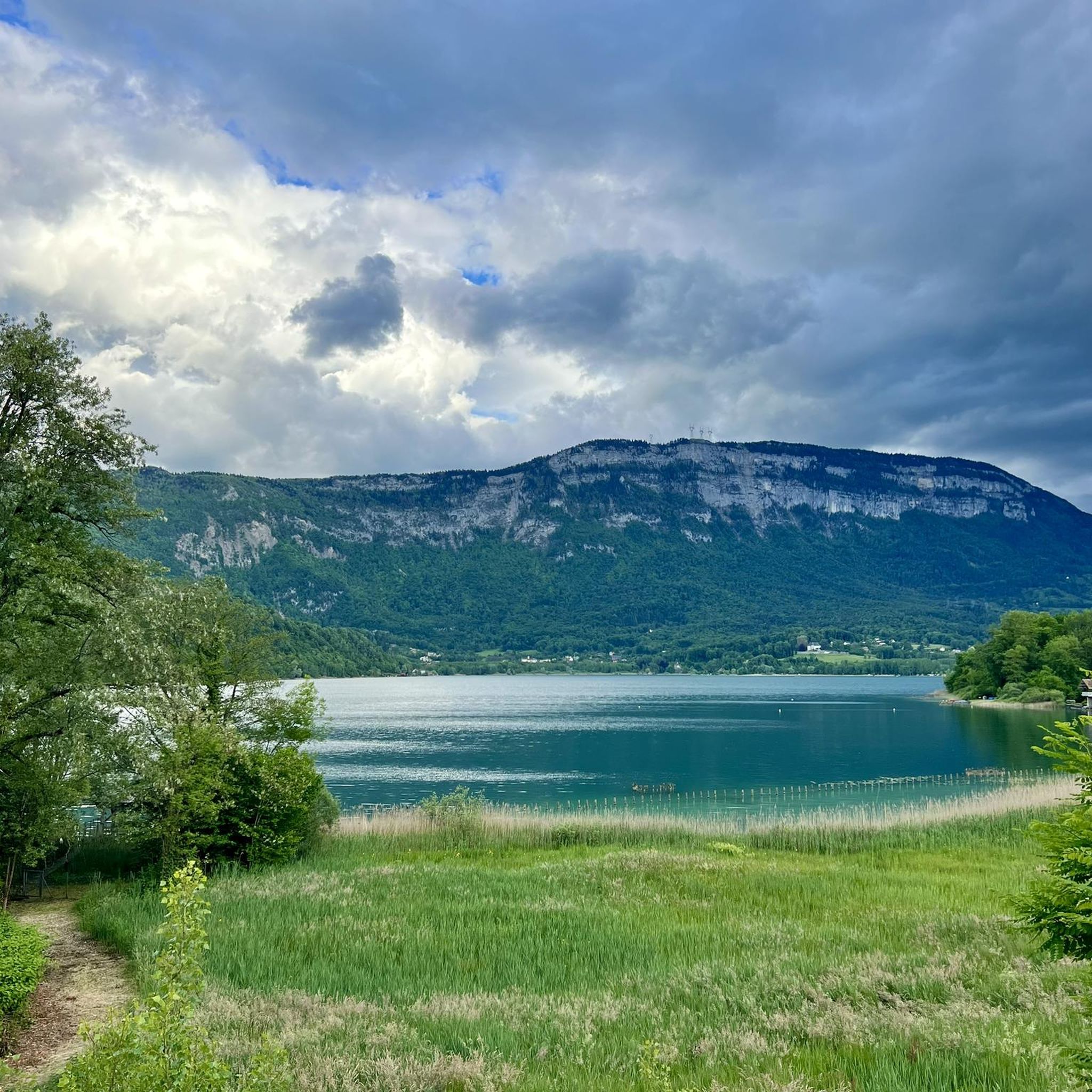
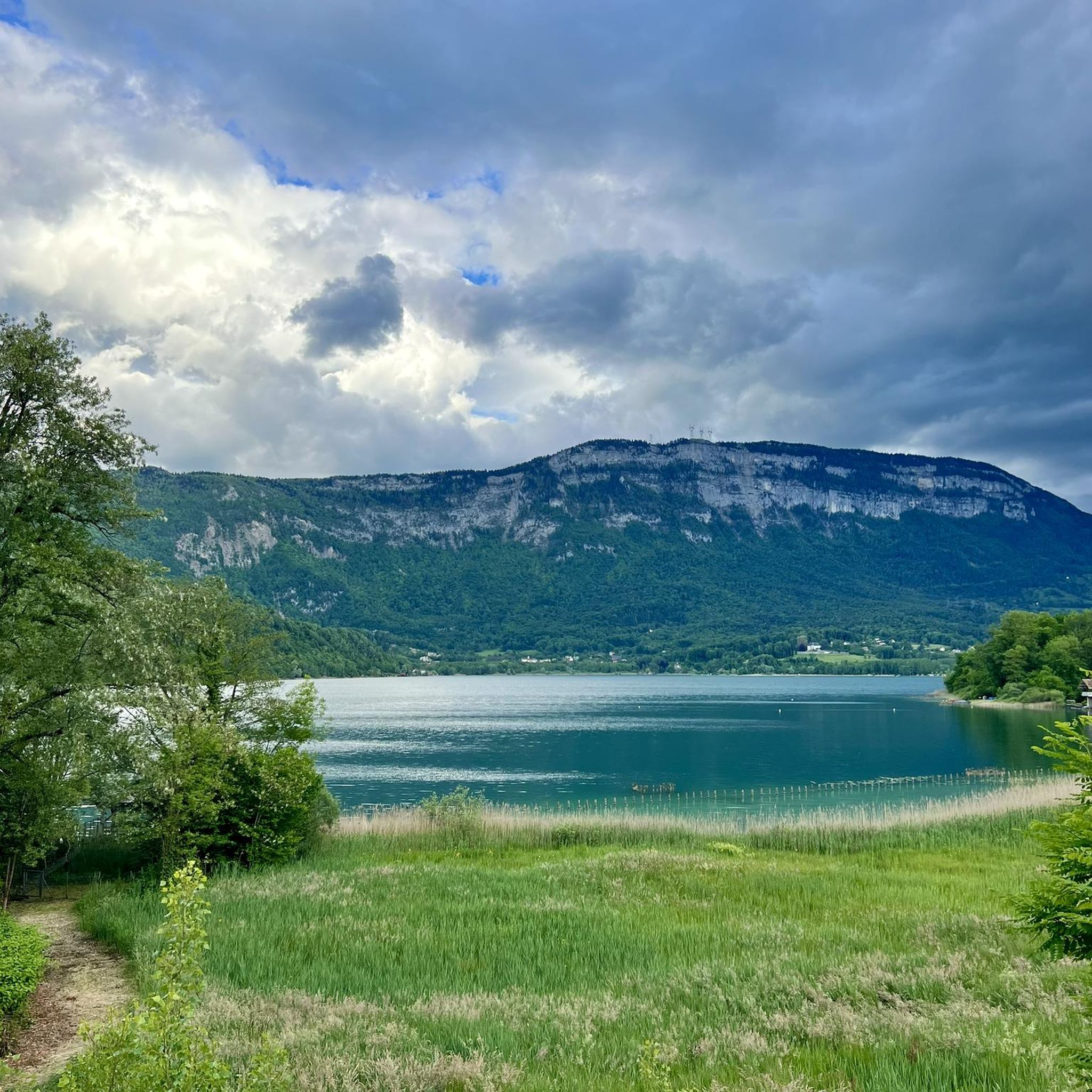
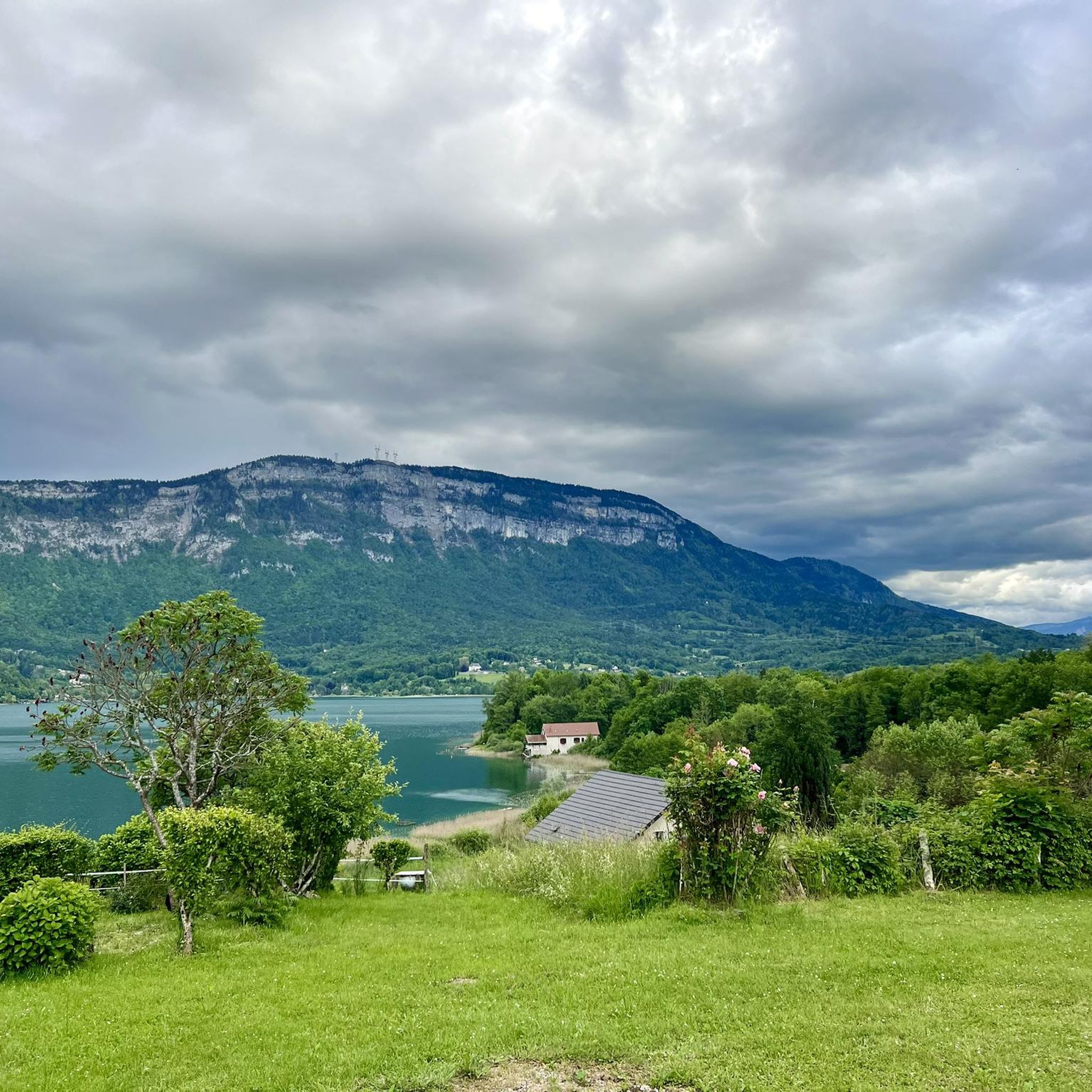
Hiking around Novalaise provides access to varied terrain, characterized by its proximity to Lake Aiguebelette and several mountain passes. The region is situated within the Savoie Foreland, offering a mix of rural environments and elevated viewpoints. Trails often traverse areas near the Regional Natural Parks of Chartreuse and Massif des Bauges, contributing to a preserved natural landscape. This setting provides a range of hiking opportunities from lakeside paths to more challenging ascents.
Best hiking trails around Novalaise
- The most popular…
Last updated: May 12, 2026
4.6
(7)
70
hikers
8.40km
02:59
410m
410m
Hard hike. Good fitness required. Sure-footedness, sturdy shoes and alpine experience required.
4.0
(6)
130
hikers
8.99km
02:40
270m
270m
Moderate hike. Good fitness required. Mostly accessible paths. Sure-footedness required.

Sign up for free
4.3
(4)
19
hikers
6.17km
01:45
140m
140m
Easy hike. Great for any fitness level. Easily-accessible paths. Suitable for all skill levels.
4.0
(1)
8
hikers
5.83km
01:40
130m
130m
Easy hike. Great for any fitness level. Easily-accessible paths. Suitable for all skill levels.
4.5
(2)
14
hikers
9.77km
02:50
260m
260m
Moderate hike. Good fitness required. Easily-accessible paths. Suitable for all skill levels.
Get access to more routes and recommendations from other explorers.
Sign up for free
Already have an account?
Our route recommendations are based on thousands of hikes, rides, and runs completed by other people on komoot.
Start today with a free account
Your next adventure awaits.
Login or Signup

Tips from the Community


Pass located at an altitude of 573 m, to be climbed from Saint-Genix-sur-Guiers or Novalaise.
1
0
The Col du Banchet is a mountain pass located at an altitude of 590 m in the Mont Tournier range, south of the Jura massif, in the Savoyard Avant-Pays, in the Savoie department.
1
0

From Rochefort, the Col du Banchet climbs in a bend with a fairly steep passage on the first part. The view rewards the efforts made to get there.
1
0


A nice road to pass. By this pass on the other hand, in winter it does not seem to be cleared of snow. With a mountain bike it's hot, on the road it's dead.
0
0

Fairly rolling pass and most pleasant, especially early in the morning to avoid cars.
4
0
nice pass with some good percentages on the west face
0
0
Frequently Asked Questions
How many hiking trails are available around Novalaise?
There are over 10 marked hiking trails around Novalaise, offering a variety of experiences. These routes cater to different fitness levels, from easy lakeside strolls to more challenging mountain ascents in the Savoie Foreland.
What is the general difficulty level of hiking trails in Novalaise?
The hiking trails around Novalaise offer a good mix of difficulties. You'll find 6 easy routes, 5 moderate routes, and 3 more difficult trails, ensuring options for various experience levels. For example, The lake loop from Saint-Alban-de-Montbel is an easy option, while Signal Cross – Richard's castle loop from Route forestière is considered difficult.
Are there any challenging hikes for experienced hikers in Novalaise?
Yes, for experienced hikers seeking a challenge, Novalaise offers several difficult routes. One notable option is the Signal Cross – Richard's castle loop from Route forestière, which is 5.2 miles (8.4 km) long with significant elevation gain, taking about 3 hours to complete. The area around Col du Chat also provides steep sections and rewarding views.
Can I find easy, family-friendly walks around Novalaise?
Absolutely. Novalaise is ideal for family-friendly walks, especially around Lake Aiguebelette. An easy option is The lake loop from Saint-Alban-de-Montbel, a 3.8-mile (6.2 km) trail that takes about 1 hour 45 minutes. The tranquil atmosphere of the lake, with its clear, turquoise waters, makes it perfect for outings with children.
What natural attractions can I expect to see while hiking near Novalaise?
Hiking near Novalaise offers diverse natural attractions. You can explore the stunning Lac d'Aiguebelette, known for its clear waters. For impressive views, visit the Étincelle Viewpoint or the Pierre Nioule – View of Lake Bourget and Aix-les-Bains. There are also beautiful water features like the Grenant Stream and the Waterfalls of the Ruisseau de la Pissoire.
Are there any circular hiking routes in Novalaise?
Yes, many of the trails around Novalaise are designed as circular routes, allowing you to start and end at the same point. Examples include the moderate Crusille Pass (573 m) – Col du Banchet loop from Sainte-Marie-d'Alvey, and the easy Crusille Pass (573 m) – Montbel Castle loop from Sainte-Marie-d'Alvey.
What is the best time of year to hike around Novalaise?
The best time to hike around Novalaise is generally from spring through autumn. During these seasons, the weather is pleasant, and the natural landscapes, including Lake Aiguebelette and the surrounding massifs, are at their most vibrant. While winter hiking is possible, some higher passes might require specific gear or be less accessible.
Are there any hikes that offer panoramic viewpoints?
Yes, the region around Novalaise is known for its panoramic views, especially from its mountain passes. The Col du Chat (638 m) offers fantastic vistas of Lake Bourget, while the Épine Pass provides expansive views of Chambéry, Lake Bourget, and Lake Aiguebelette.
What do other hikers enjoy the most about hiking in Novalaise?
The area is highly rated by the komoot community, with an average score of 4.4 stars from over 800 reviews. Hikers often praise the diverse terrain, the stunning views of Lake Aiguebelette, and the well-preserved natural environment. The mix of lakeside paths and mountain ascents provides varied and rewarding experiences.
Are there any historical landmarks to explore on hikes near Novalaise?
Yes, some trails incorporate historical sites. For instance, the Crusille Pass (573 m) – Montbel Castle loop from Sainte-Marie-d'Alvey allows you to explore the ruins of Montbel Castle, adding a touch of historical interest to your outdoor adventure.
Can I bring my dog on the hiking trails in Novalaise?
Many trails in the Novalaise region are dog-friendly, allowing you to enjoy the natural beauty with your canine companion. However, it's always recommended to keep dogs on a leash, especially in areas with livestock or protected wildlife, and to check specific trail regulations before you go.
Are there opportunities for wild swimming near the hiking routes?
Yes, Lake Aiguebelette, which is central to many hiking routes around Novalaise, is perfect for wild swimming. Its clear, turquoise waters and tranquil atmosphere, due to a ban on motorboats, make it an inviting spot to cool off after a hike. Several trails offer easy access to the lake's shores.
Most popular routes around Novalaise
Most popular attractions around Novalaise

Get inspired with the komoot mobile app


Explore more
Browse the best Hikes in other regions.
