The best running trails around La Bridoire
4.3
(54)
1,468
runners
13
runs
Jogging around La Bridoire offers access to a diverse landscape in the Savoie department, characterized by green hills, cliffs, streams, and ponds. The region provides varied terrain suitable for running, from the shores of Lac d'Aiguebelette to the higher elevations of the Col de l'Épine. A network of trails, including sections of the GR9, traverses this verdant environment, providing numerous options for outdoor activity.
Best jogging routes around La Bridoire
- The most popular jogging route is Running loop from Lépin le Lac - La Bauche, a 11.7 miles (18.8 km) trail that takes 1 hour 59 minutes to complete. This difficult route offers views of the surrounding natural features.
- Another top favourite among local runners is Running loop from La Bridoire, a difficult 6.2 miles (10.0 km) path. This route explores the local area around La Bridoire, providing a challenging run through varied terrain.
- Local runners also love the Running loop from La Bridoire, a 4.2 miles (6.8 km) trail leading through the local landscape, often completed in about 1 hour 3 minutes.
- Jogging around La Bridoire is defined by the scenic Lac d'Aiguebelette, varied terrain of the Col de l'Épine, and a network of local trails. The area offers options for different ability levels, from moderate runs to more difficult challenges.
- The routes in La Bridoire are highly rated by the komoot community with an average score of 4.3 stars from over 50 reviews. More than 1500 runners have used komoot to explore La Bridoire's varied terrain.
Last updated: May 20, 2026
4.0
(1)
10
runners
10.0km
01:10
190m
190m
Hard run. Good fitness required. Sure-footedness, sturdy shoes and alpine experience required.
11
runners
6.77km
01:03
370m
370m
Hard run. Very good fitness required. Sure-footedness, sturdy shoes and alpine experience required.

Sign up for free
9
runners
16.4km
02:04
510m
510m
Hard run. Very good fitness required. Mostly paved surfaces. Suitable for all skill levels.
5.0
(1)
9
runners
14.1km
01:43
390m
390m
Hard run. Very good fitness required. Mostly paved surfaces. Suitable for all skill levels.
5.0
(1)
5
runners
10.3km
01:19
310m
300m
Hard run. Very good fitness required. Sure-footedness, sturdy shoes and alpine experience required.
Get access to more routes and recommendations from other explorers.
Sign up for free
Already have an account?
Our route recommendations are based on thousands of hikes, rides, and runs completed by other people on komoot.
Start today with a free account
Your next adventure awaits.
Login or Signup

Tips from the Community

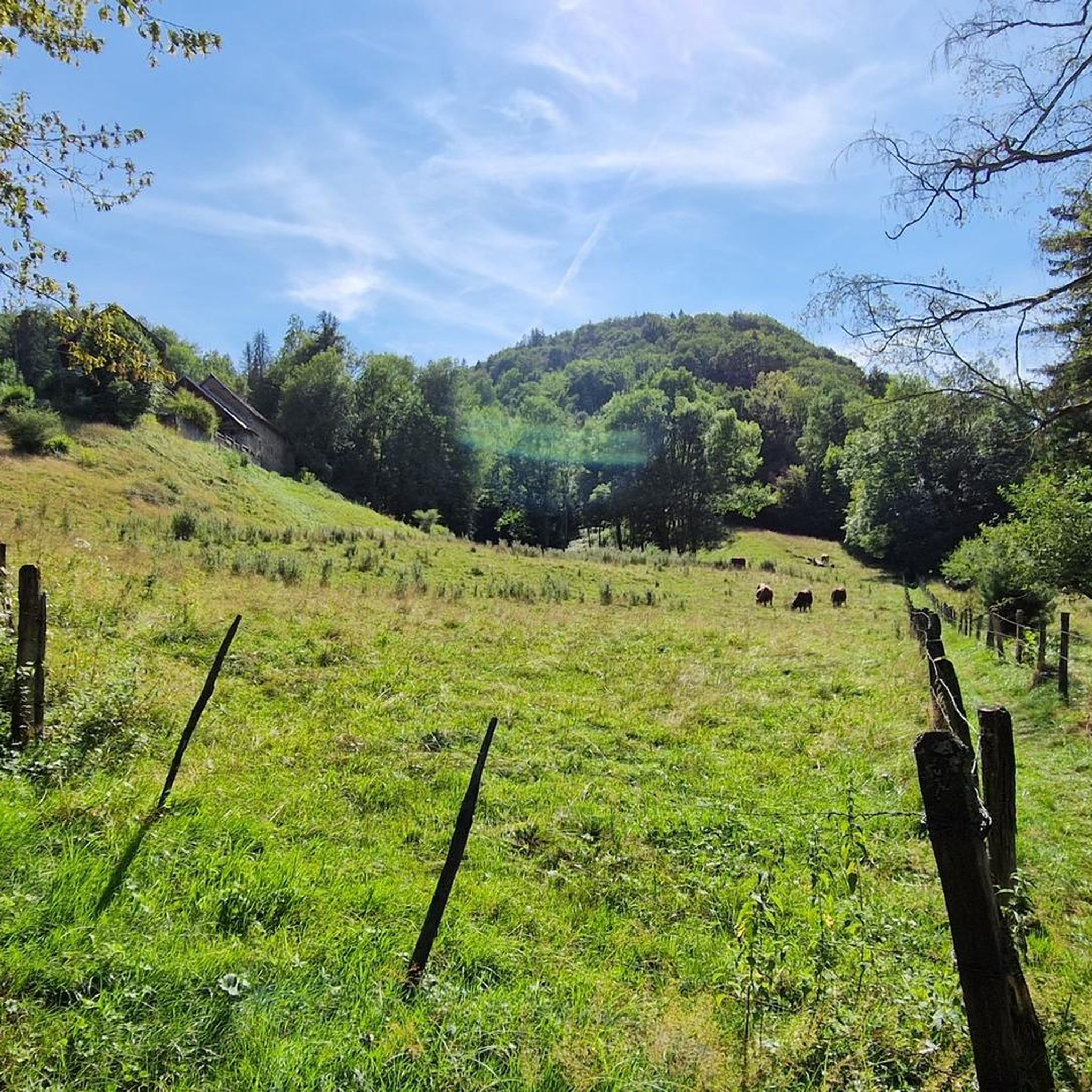
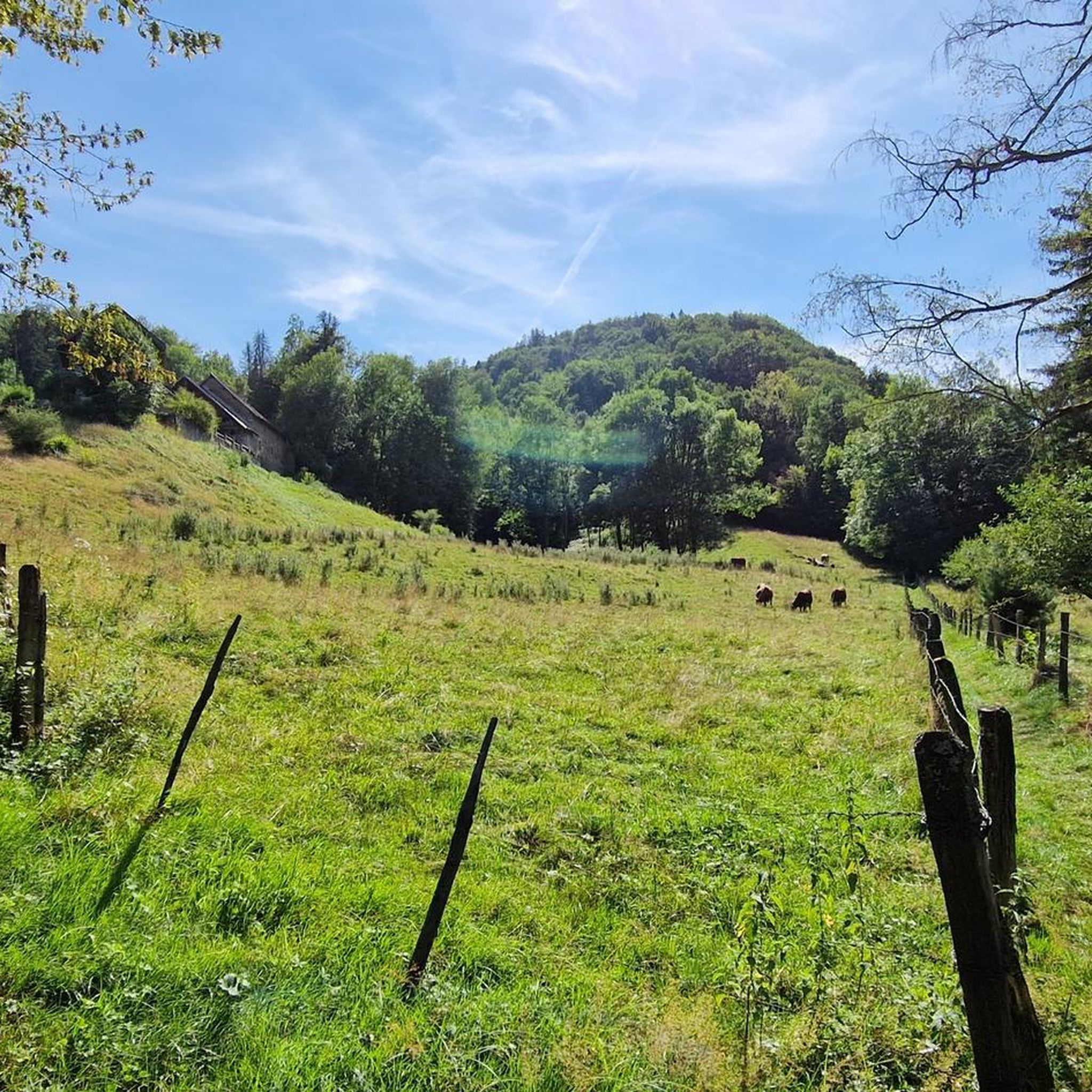
As you travel to the Grenant stream above La Bridoire, you will discover a hidden stream that winds through a lush and tranquil forest in the heart of the Chartreuse mountains. The area around the stream is teeming with wildlife and you will often see birds and other woodland creatures. As you listen to the soothing sound of flowing water, let your mind escape into nature.
2
0

The Col du Banchet is a mountain pass located at an altitude of 590 m in the Mont Tournier range, south of the Jura massif, in the Savoyard Avant-Pays, in the Savoie department.
1
0

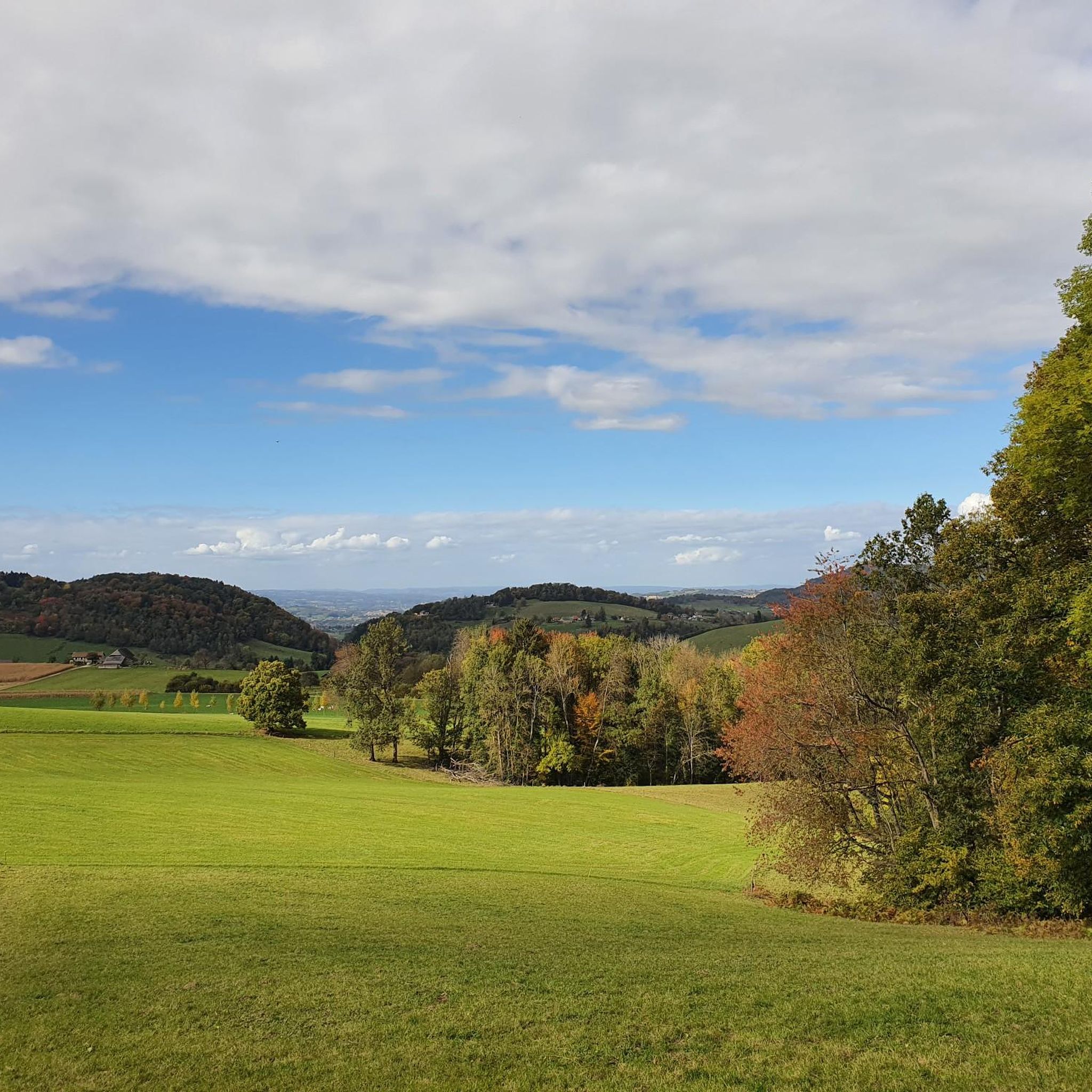
From Rochefort, the Col du Banchet climbs in a bend with a fairly steep passage on the first part. The view rewards the efforts made to get there.
1
0

A nice road to pass. By this pass on the other hand, in winter it does not seem to be cleared of snow. With a mountain bike it's hot, on the road it's dead.
0
0

nice pass with some good percentages on the west face
0
0
beautiful pass but the most pleasant remains the small mountain bike trails leading to La Crusille. It’s also a little taste announcing the arduous percentages of Mont du Chat
3
0

Small shaded pass and without any difficulty.
3
0

Small pass between Lac d'Aiguebelette and the Rhone. Quiet road D36. More information: https://www.quaeldich.de/paesse/col-du-banchet_a/
1
0
Frequently Asked Questions
How many running routes are available in La Bridoire?
La Bridoire offers a wide selection of running routes, with over 150 trails available for exploration. These routes cater to various fitness levels, from moderate jogs to more challenging runs through the diverse landscape.
Are there easy running routes suitable for beginners in La Bridoire?
Yes, La Bridoire provides several easier running options. While many routes are moderate or difficult, there are at least 15 routes specifically categorized as easy, perfect for beginners or those looking for a more relaxed jog through the scenic environment.
What kind of scenery can I expect while running in La Bridoire?
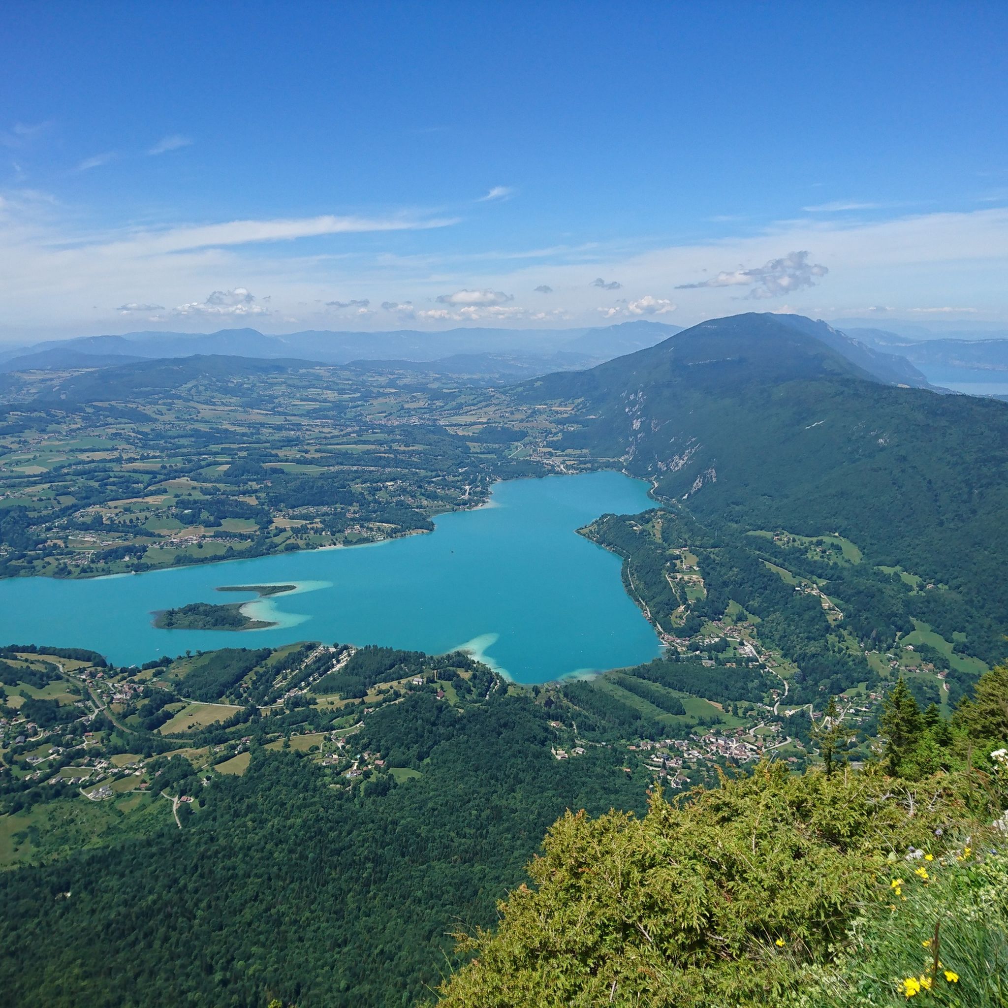
Runners in La Bridoire can enjoy a diverse and picturesque natural environment. The region features green hills, cliffs, streams, marshes, and ponds. You'll find routes offering continuous views of Lac d'Aiguebelette, as well as trails leading through varied terrain up to the Col de l'Épine, providing breathtaking panoramic views of the surrounding mountains and lakes.
Are there any circular running routes around La Bridoire?
Yes, many of the running paths in La Bridoire are designed as circular routes, allowing you to start and finish at the same point. For example, the difficult Running loop from Lépin le Lac - La Bauche is a popular circular option, as is the challenging Col du Banchet loop from La Bridoire.
Can I bring my dog on the running trails in La Bridoire?
While many trails in the region are dog-friendly, it's always recommended to check local regulations or specific route details on komoot for any restrictions, especially in protected natural areas or private lands. Generally, the natural environment of La Bridoire is welcoming to runners with well-behaved dogs, provided they are kept under control.
What are some notable landmarks or points of interest I might see on a run?
Beyond the stunning natural landscapes, you can encounter several points of interest. The iconic Lac d'Aiguebelette is a central feature, with various viewpoints like Voues de l'Épine Viewpoint offering spectacular vistas. The Épine Pass and Col du Banchet provide challenging climbs and rewarding views. The area also features the impressive Grenand canyon, known for its rugged beauty.
Are there any running routes that are particularly scenic or offer great views?
Absolutely. The routes around Lac d'Aiguebelette are exceptionally scenic, offering continuous lake and mountain views. For panoramic vistas, consider routes that ascend towards the Col de l'Épine, where you can see Chambéry, Lake Bourget, and the Bauges massif.
What do other runners enjoy the most about jogging in La Bridoire?
The running routes in La Bridoire are highly rated by the komoot community, with an average score of 4.3 stars from around 60 reviews. Runners often praise the diverse terrain, the beautiful views of Lac d'Aiguebelette, and the challenging yet rewarding climbs, particularly those leading to the various mountain passes.
Are there any routes around 10km in length?
Yes, there are several routes around the 10km mark. A popular option is the difficult Running loop from La Bridoire, which is approximately 10.0 km (6.2 miles) and offers a challenging run through the local area.
What is the best time of year for running in La Bridoire?
La Bridoire's 'mountain margins climate' with an average annual temperature of 10.9°C makes it suitable for running for much of the year. Spring and autumn offer pleasant temperatures and vibrant scenery. Summer is ideal for enjoying the lake, while winter can provide unique, albeit more challenging, running conditions with potential snow at higher elevations.
Are there any running trails that are part of a larger network?
Yes, La Bridoire is traversed by the GR9 (Chemin d'Assise), a long-distance hiking trail, which also offers sections suitable for trail running. Additionally, the area features marked 'Boucles de Randonnées' (hiking loops) and 'Parcours de Santé' (fitness trails) that integrate into the local running network.
Are there any moderate difficulty running routes available?
Yes, a significant portion of the routes in La Bridoire are of moderate difficulty, making them accessible to a wider range of runners. For example, the Running loop from Dullin is a moderate 11.4 km (7.1 miles) path that offers a balanced challenge.
Most popular attractions around La Bridoire

Get inspired with the komoot mobile app


Explore more
Browse the best Running Trails & Routes in other regions.
