The best walks and hikes around Bergholtzzell
4.6
(5588)
28,095
hikers
814
hikes
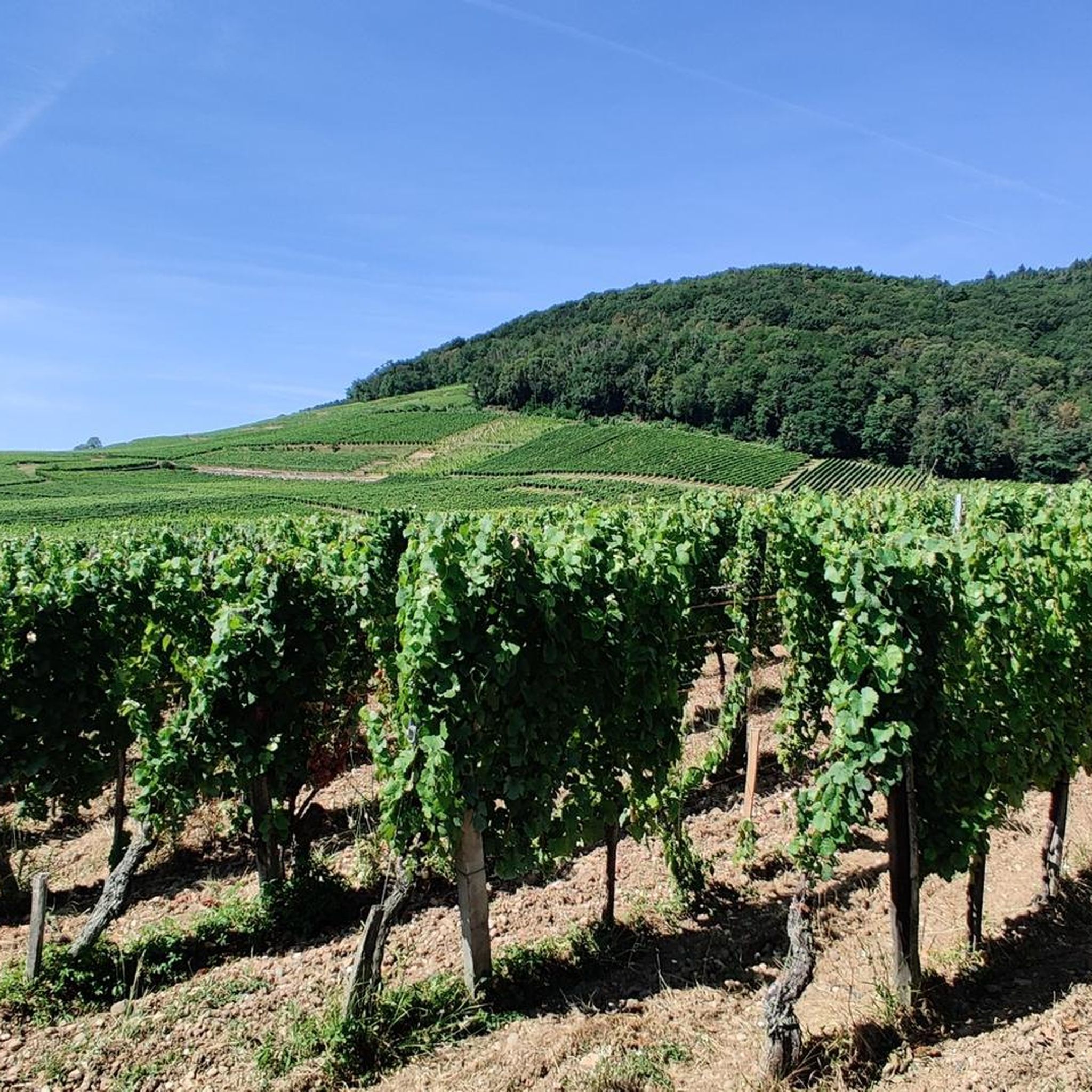
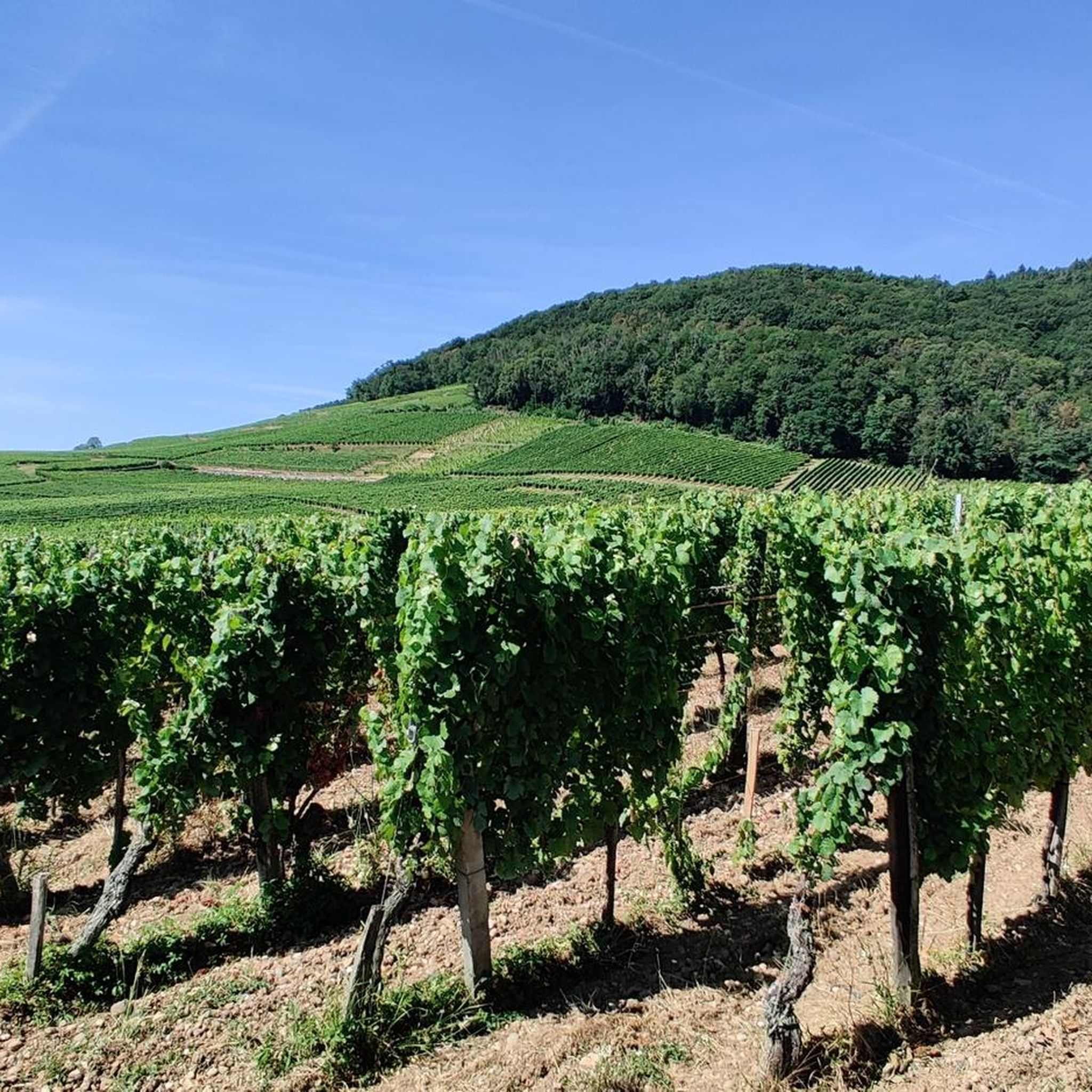
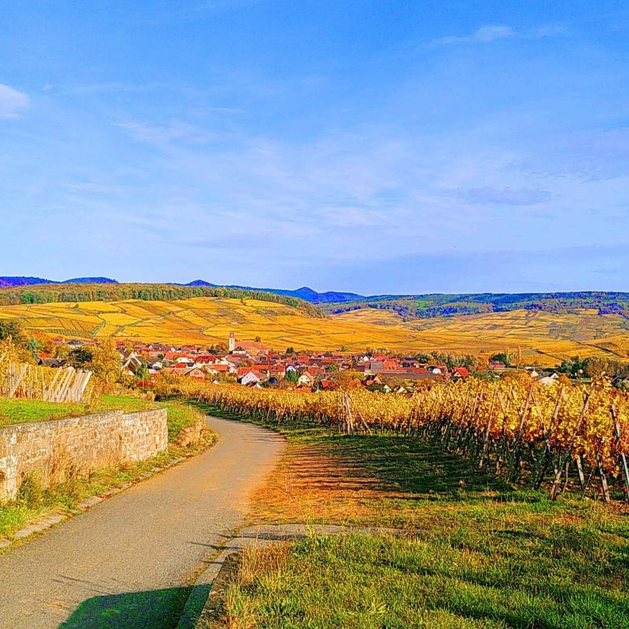
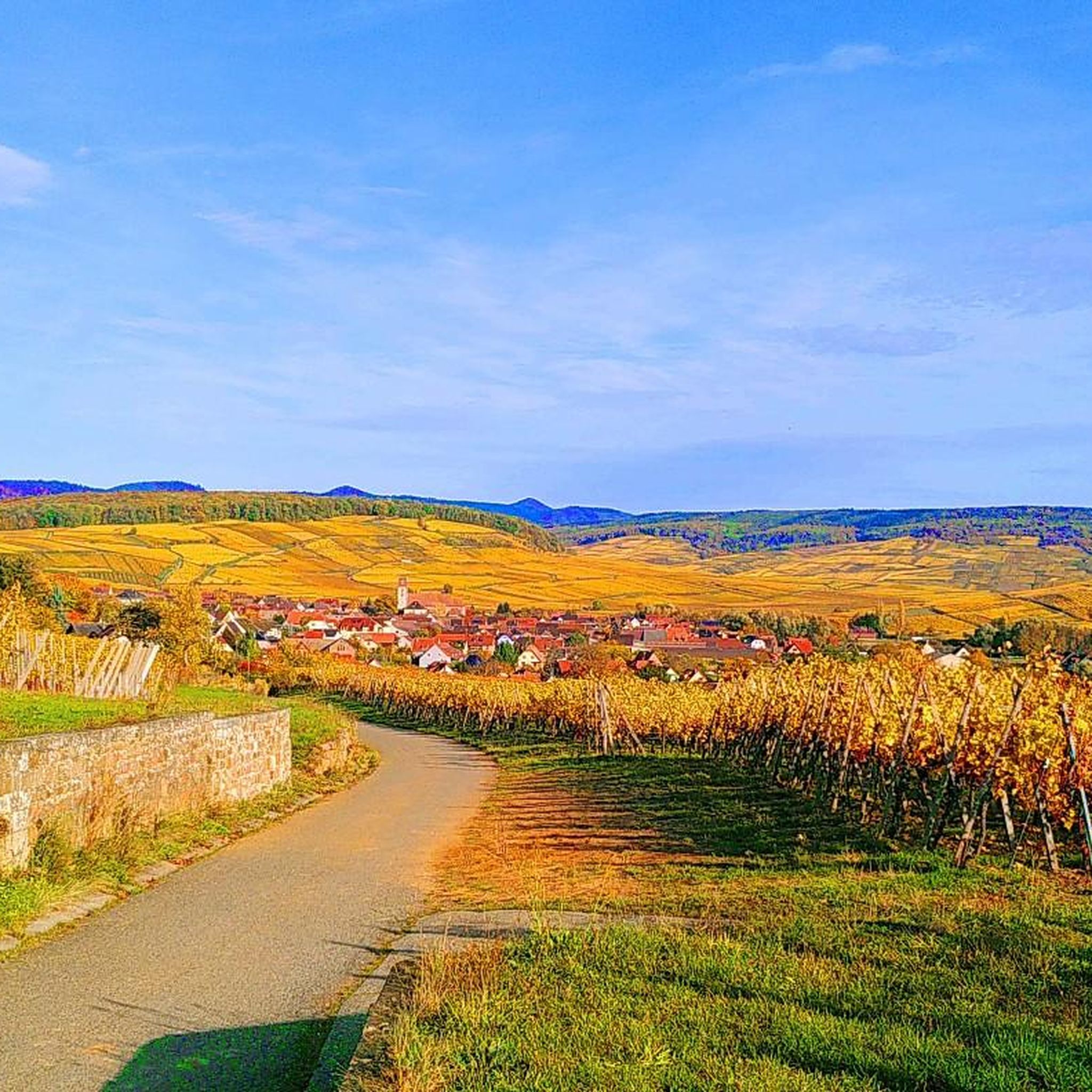
Hiking around Bergholtzzell offers access to varied terrain, from serene vineyards to the challenging Vosges Mountains. The region is characterized by an attractive alternation of vineyards and forests, providing diverse hiking experiences. Proximity to the Vosges Mountains, including peaks like the Grand Ballon, offers panoramic views across the Alsace plain. Diverse ecosystems, including extensive deciduous and mixed forests, are present throughout the area.
Best hiking trails around Bergholtzzell
- The most popular hiking route is Croix de la Mission – View…
Last updated: August 21, 2026
4.6
(28)
145
hikers
6.90km
01:55
130m
130m
Easy hike. Great for any fitness level. Easily-accessible paths. Suitable for all skill levels.
4.6
(30)
76
hikers
11.4km
03:20
320m
320m
Moderate hike. Good fitness required. Easily-accessible paths. Suitable for all skill levels.

Sign up for free
4.6
(21)
86
hikers
8.76km
02:36
250m
250m
Moderate hike. Good fitness required. Easily-accessible paths. Suitable for all skill levels.
4.6
(15)
64
hikers
8.46km
02:36
290m
290m
Moderate hike. Good fitness required. Easily-accessible paths. Suitable for all skill levels.
4.7
(6)
41
hikers
11.0km
03:08
240m
240m
Moderate hike. Good fitness required. Easily-accessible paths. Suitable for all skill levels.
Get access to more routes and recommendations from other explorers.
Sign up for free
Already have an account?
Our route recommendations are based on thousands of hikes, rides, and runs completed by other people on komoot.
Start today with a free account
Your next adventure awaits.
Login or Signup
Tips from the Community

From waypoint 10 to 11 is absolutely not possible by bike
0
0

It's a nice place to take a little rest.
0
0
Overlooking the Ohmバレー, Bollenberg hill rises to 363 meters and benefits from exceptional sunshine due to its geographical location, clearly detached from the Vosges massif. It is home to fauna composed mainly of birds, lizards, butterflies, and a species of snail living in dry areas. The flora is characteristic of a calcicole heathland and consists of four different environments: grassland, forest, vineyard, and scree. Numerous medicinal plants highly prized by herbalists are found there, as well as several varieties of flowers and berries, used by the estate for the distillation of rare brandies.
0
0
With old buildings and beautiful estate signs all around the street
0
0

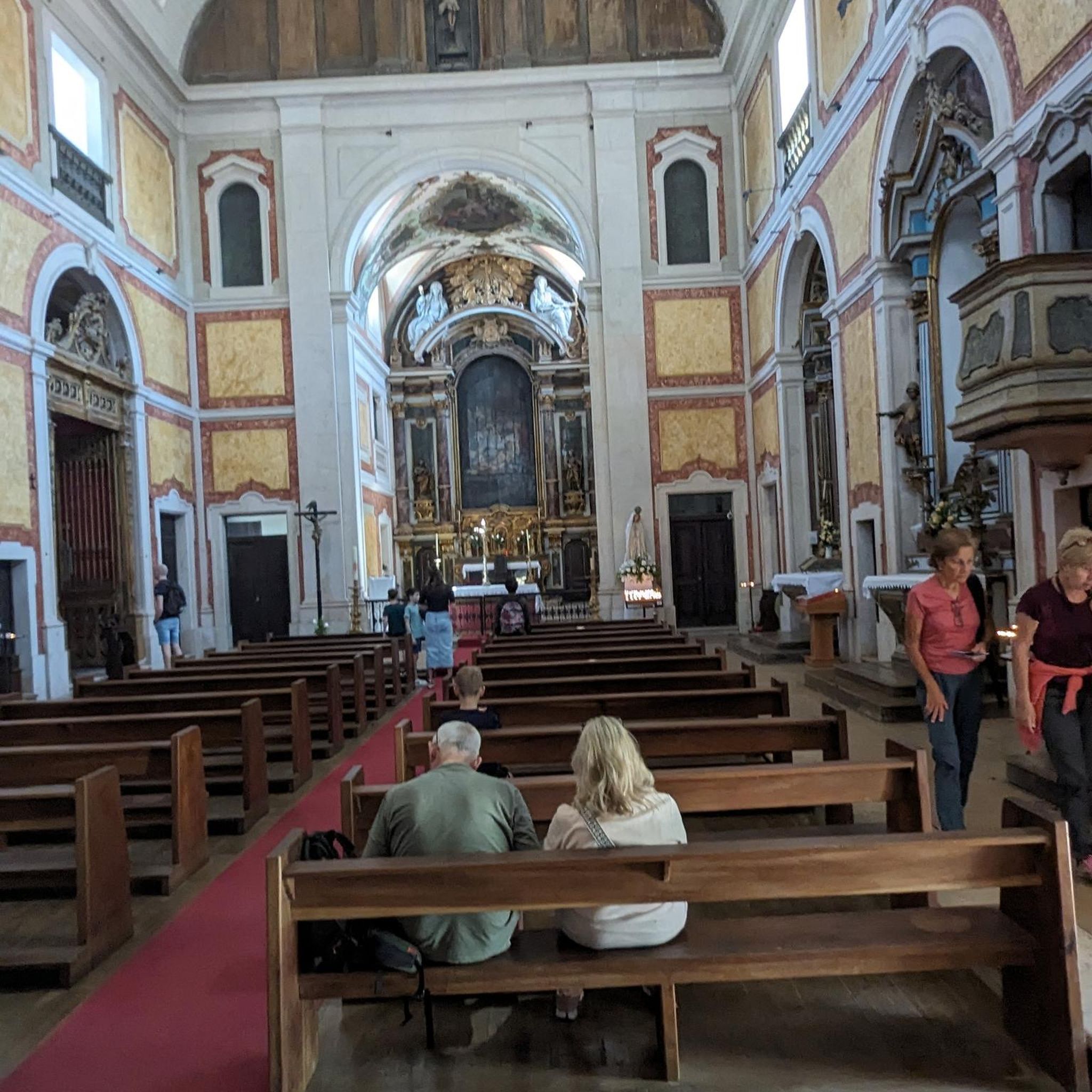
The monastery's origins date back to the 8th century, and by the mid-9th century it was already considered a spiritual center on the Upper Rhine. And even today, a visit to this historic site is worthwhile.
4
0
The small chapel is accessible via a beautiful trail lined with old stone crosses. In addition to visiting the pretty chapel, visitors can also enjoy magnificent views of the monastery below.
4
1

Also great in autumn! At the wonderful Domaine du Bollenberg (tastings, very good cuisine, hotel, great location).
0
0
Frequently Asked Questions
How many hiking trails are available around Bergholtzzell?
There are over 790 hiking routes around Bergholtzzell, catering to various skill levels. This includes more than 270 easy trails, over 430 moderate paths, and around 80 challenging routes for experienced hikers.
What kind of terrain can I expect on hikes in Bergholtzzell?
Hiking around Bergholtzzell offers a diverse landscape, from serene vineyards and extensive deciduous and mixed forests to the more challenging terrain of the nearby Vosges Mountains. You'll find paths winding through wine country, dense woodlands, and ridge paths with high stubble landscapes in the mountains.
Are there any family-friendly hiking options in Bergholtzzell?
Yes, Bergholtzzell offers several family-friendly trails, particularly those that wind through the vineyards and forests. An example is the 'Hiking route: Quarries of Bergholtz and Bergholtz-Zell', which is described as an easy trail suitable for families. These routes allow for a pleasant outdoor experience for all ages.
Can I bring my dog on the hiking trails in Bergholtzzell?
Many trails in the Bergholtzzell area, especially those through forests and vineyards, are suitable for dogs. However, it's always recommended to keep your dog on a leash, especially in nature reserves or areas with livestock, and to check local regulations for specific trails. Always carry water for your pet.
What are some notable natural features or landmarks to see while hiking?
The region boasts several impressive natural features. In the nearby Vosges Mountains, you can find peaks like the Grand Ballon and Petit Ballon, offering panoramic views. The Lac du Ballon, a glacial lake, is also a picturesque spot. Closer to Bergholtzzell, you'll hike through charming vineyards and dense forests.
Are there any circular hiking routes available?
Yes, Bergholtzzell features many circular routes. For example, the Croix de la Mission – View of Guebwiller loop from Bergholtzzell is a popular moderate 11.4 km circular trail offering views towards Guebwiller. Another option is the View of Guebwiller – Croix de la Mission loop from Bergholtzzell, a slightly shorter 8.6 km loop through vineyards and forests.
What cultural or historical sites can I explore while hiking in Bergholtzzell?
Bergholtzzell is situated along the famous Alsace Wine Route, allowing you to combine hiking with visits to charming wine villages. The village itself features the Oelberg Calvary with its chapels and a reproduction of Leonardo da Vinci's Last Supper. The Our Lady of Loretto Chapel – Murbach Abbey loop from Buhl also passes historical sites like the Romanesque Murbach Abbey.
What do other hikers enjoy most about hiking in Bergholtzzell?
The area is highly rated by the komoot community, with an average score of 4.6 stars from over 4,900 reviews. Hikers often praise the diverse landscapes, from the tranquil vineyards to the challenging mountain paths in the Vosges, and the well-maintained trails that offer options for all ability levels.
Are there any challenging hikes for experienced trekkers?
Yes, for more ambitious hikers, the proximity to the Vosges Mountains provides challenging trails. Peaks like the Grand Ballon, the highest point in the Vosges, offer strenuous ascents and breathtaking panoramic views. There are around 80 difficult routes in the region for those seeking a greater challenge.
What is the best time of year to go hiking in Bergholtzzell?
The best time to hike in Bergholtzzell is generally from spring to autumn. Spring brings blooming vineyards and pleasant temperatures, while autumn offers stunning foliage and harvest festivities along the Wine Route. Summer is also popular, especially for higher altitude trails in the Vosges, but can be warmer in the valleys. Winter hiking is possible but requires appropriate gear and caution, especially in the mountains.
Are there any hikes that offer views of the surrounding region?
Absolutely. Many trails provide excellent viewpoints. For instance, the Croix de la Mission – View of Guebwiller loop from Bergholtzzell offers specific views towards Guebwiller. From higher elevations in the Vosges Mountains, such as the Grand Ballon or Petit Ballon, you can enjoy panoramic vistas across the Alsace plain, the Black Forest, and on clear days, even the Swiss Alps.
Can I find information about parking or public transport for trailheads?
While specific parking details for every trailhead are best found on individual route pages, Bergholtzzell is generally accessible. For detailed information on public transport options or specific parking locations, it's advisable to consult local tourism resources or the komoot route planner for specific starting points. For general information about the village, you can visit visit.alsace.
Most popular routes around Bergholtzzell
Most popular attractions around Bergholtzzell

Get inspired with the komoot mobile app


Explore more
Browse the best Hikes in other regions.
