The best road cycling routes around Orschwihr
4.5
(411)
11,207
riders
162
rides
Road cycling routes around Orschwihr traverse the foothills of the Vosges Mountains, characterized by rolling vineyards, dense forests, and picturesque villages. The region features varied terrain, from gentle slopes suitable for leisurely rides to more challenging climbs through mountain passes. Road cyclists can expect well-maintained roads winding through agricultural landscapes and along river valleys.
Best road cycling routes around Orschwihr
- The most popular road cycling route is Firstplan Pass – Pinot Bend loop from Soultzmatt, a 42.1 miles (67.8…
Last updated: July 5, 2026
4.9
(36)
659
riders
67.8km
03:57
1,690m
1,690m
Hard road ride. Very good fitness required. Mostly well-paved surfaces and easy to ride.
4.3
(6)
119
riders
23.6km
01:07
300m
300m
Moderate road ride. Good fitness required. Some segments of this route may be unpaved and difficult to ride.

Sign up for free
44
riders
84.8km
04:21
1,330m
1,330m
Hard road ride. Very good fitness required. Mostly well-paved surfaces and easy to ride.
5.0
(2)
38
riders
27.6km
01:22
440m
440m
Moderate road ride. Good fitness required. Mostly well-paved surfaces and easy to ride.
3.0
(1)
18
riders
34.2km
02:02
860m
860m
Moderate road ride. Good fitness required. Mostly well-paved surfaces and easy to ride.
Get access to more routes and recommendations from other explorers.
Sign up for free
Already have an account?
Our route recommendations are based on thousands of hikes, rides, and runs completed by other people on komoot.
Start today with a free account
Your next adventure awaits.
Login or Signup
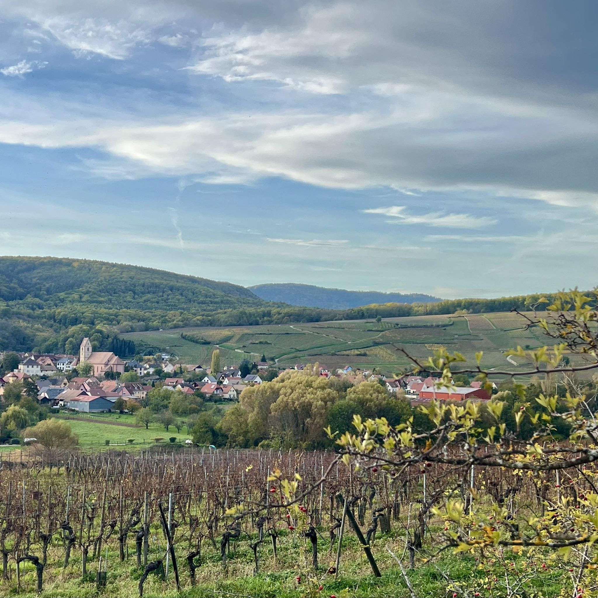
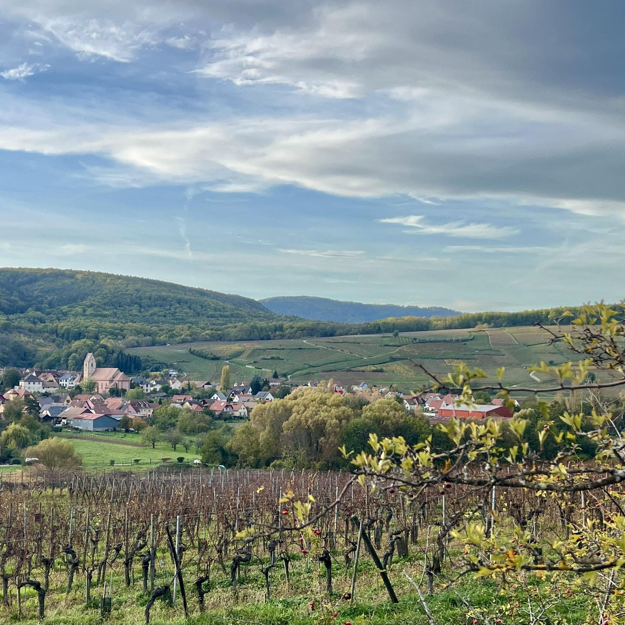
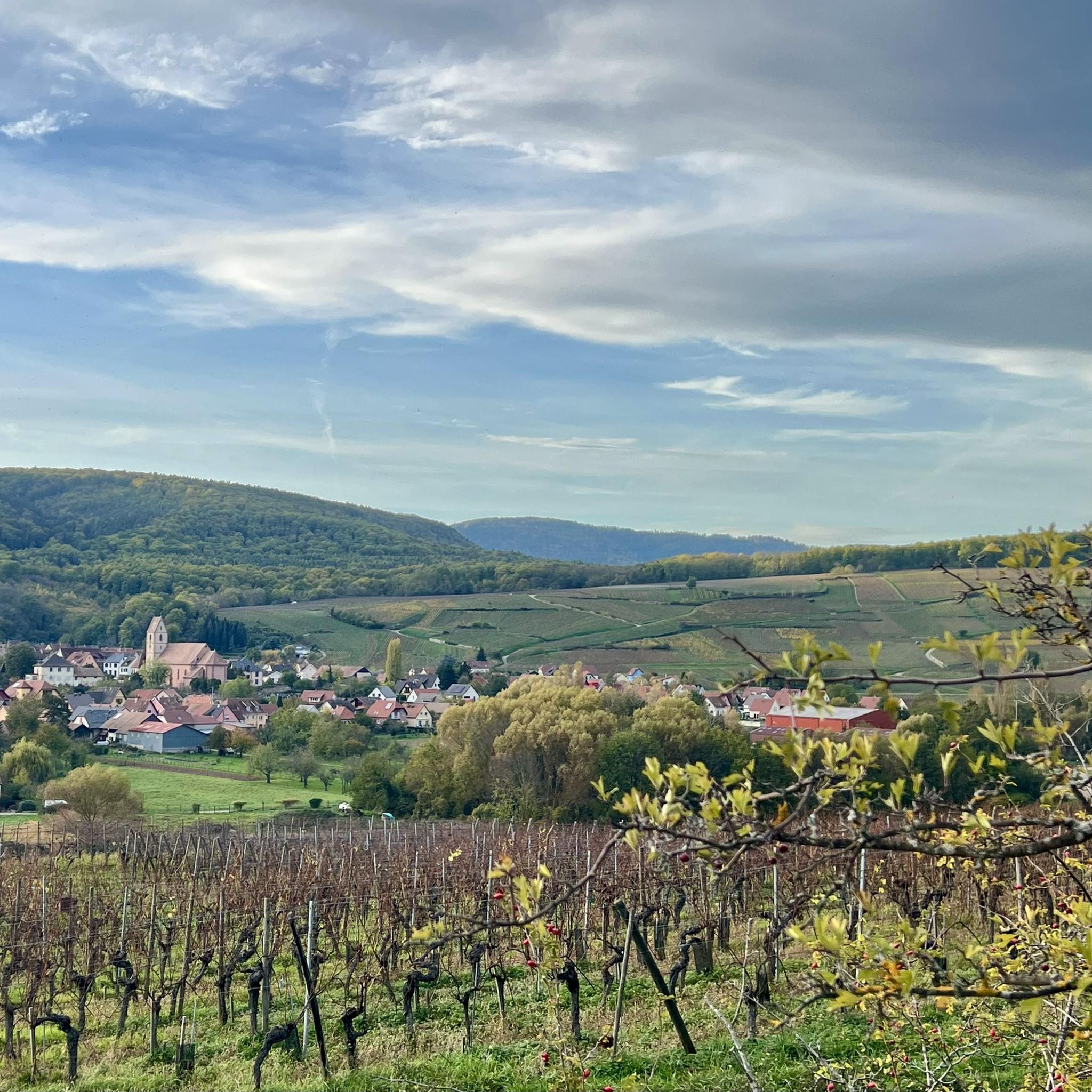
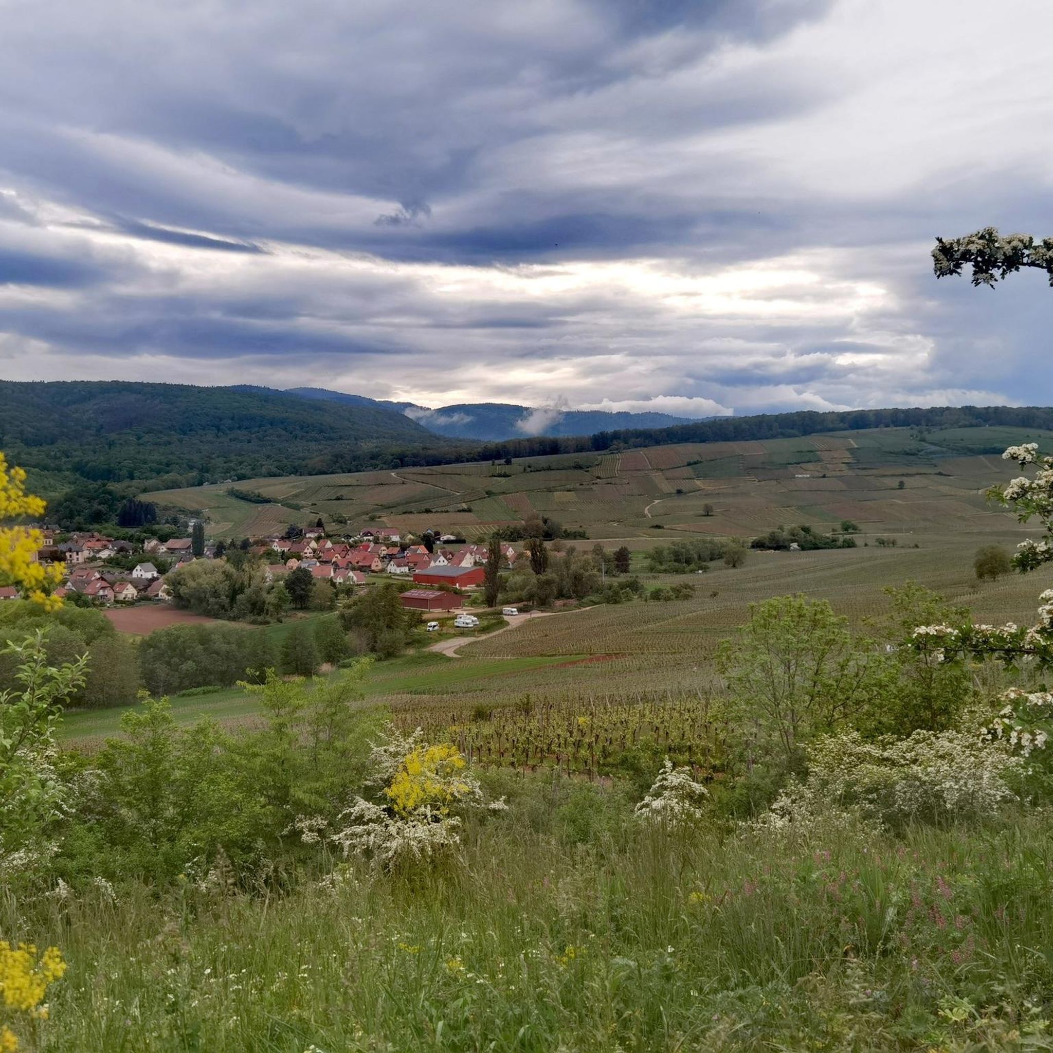

Tips from the Community

The former mill of Lautenbach-Zell is today the "Museum Vivarium du Moulin". There, vivaria of various insects, ants, but also of different spider species can be seen. The mill is visible from the departmental road D430 and is located on Rue du Moulin. https://www.vivariumdumoulin.org
0
0
The Wells of Lautenbach The monks who founded Lautenbach settled in this area because of the abundant water resources. Over the centuries, population growth led to a multitude of wells, both public and private. Many wells, like the Stockbrunnen (a type of well), played an important role in the daily life of the village. The use of solid sandstone testifies to the wealth and prosperity of the village, which had developed into a small industrial town by the end of the 19th century. The wells remained in their original state until the construction of a water supply network. --- The Wells of Lautenbach The monks who founded Lautenbach settled in this area for its water resources. Over the centuries, population growth led to a multiplication of wells, both public and private. The names of the fountains, comme le Stockbrunna, participate in the vie quotidienne of the village. The large size used is signe of the richness and the prosperity of the village qui devient, à la fin du XIXe siècle, a small industrial town. Les fontaines conservent leur état d'origine jusqu'à la creation d'un réseau d'adduction en 1896.
0
0
Das Rathaus befindet sich im ehemaligen Klostergebäude der Stiftskirche Lautenbach. Die Tür des Ostflügels trägt die Jahreszahl 1517. In diesen Gebäuden befinden sich das ehemalige Propsthaus, die Sakristei der Domherren, der Kapitelsaal und eine Gewölbegalerie. Der Nordflügel wurde erst im 19. Jahrhundert errichtet. Im Winkel zwischen den beiden Flügeln stehen noch ein Turm mit seiner Wendeltreppe. Der Gotische Kreuzgang, der durch ein Spitzbogenportal zugänglich ist, weist Rippengewölbe auf. --- The town hall is housed in the former convent building of the Collegiate Church of Lautenbach. The door of the east wing bears the date 1517. These buildings house the former provost's house, the canons' sacristy, the chapter house, and a vaulted gallery. The north wing was built only in the 19th century. In the angle between the two wings, a turret and its spiral staircase still stand. The Gothic cloister, accessible through a pointed arch doorway, features ribbed vaults. To the left, the house, arranged as a central block, was acquired by the municipality in 1978 and then demolished in 1985, making way for a more suitable urban development.
0
0
A paved forest road leads to the Col de Boenlesgrab from behind Lautenbach. The sign on the right side of the D430 for "Petit Ballon" shouldn't mislead you into thinking the road isn't entirely paved. The paved forest road ends at the top of the Col de Boenlesgrab, where you'll find a hiking parking area and a farm inn (Ferme Auberge). From the inn, there's a beautiful view of the valley to the northeast. From there, forest paths, mostly with firm surfaces, continue to the Petit Ballon to the left and to the Col du Firstplan to the right. The route from the D430 up to the pass is just over 5 km long and involves an ascent of approximately 450 meters with a gentle to moderate gradient.
0
0


A pleasant section to ride, with moderate climbs and little traffic. There were a few racing cyclists on the road.
0
0

The Langenstein menhir (a 4-meter-high long stone) was erected in 1904 by a Soultzmatt industrialist, who recognized this block as an overturned menhir. Legend tells that on full moon nights, fairies, or White Ladies, come to dance around the Langenstein. During this ceremony, the stone is said to begin spinning!
0
0

Nice climb, very good asphalt. Little traffic (during the week in early June).
0
0
Frequently Asked Questions
How many road cycling routes are available around Orschwihr?
There are over 160 road cycling routes around Orschwihr, offering a wide range of options for different skill levels and preferences.
Are there easy road cycling routes suitable for beginners in Orschwihr?
Yes, Orschwihr offers several easy road cycling routes. For instance, the Notre-Dame Church – Wattwiller - Berrwiller loop from Guebwiller is an easy 17.9-mile (28.9 km) route with minimal elevation gain, perfect for a relaxed ride.
What are some challenging road cycling trails in the Orschwihr area?
For those seeking a challenge, the region features routes with significant climbs. The Firstplan Pass – Pinot Bend loop from Soultzmatt is a difficult 42.1-mile (67.8 km) route with over 1,600 meters of elevation gain, traversing mountain passes.
Are there road cycling routes around Orschwihr that are approximately 50 km long?
While there isn't an exact 50 km route listed, the Firstplan Pass – Pinot Bend loop from Soultzmatt is a challenging 67.8 km (42.1 miles) route that might suit those looking for a longer ride. Many routes can also be combined or extended to reach your desired distance.
What is the best time of year for road cycling in Orschwihr?
The best time for road cycling in Orschwihr is generally from spring to autumn (April to October). During these months, the weather is typically mild, and the vineyards are lush, offering beautiful scenery. Summer can be warm, while spring and autumn provide pleasant temperatures for longer rides.
What kind of terrain can I expect on road cycling routes around Orschwihr?
Road cycling routes around Orschwihr traverse varied terrain, from gentle slopes through rolling vineyards to more challenging climbs through dense forests and mountain passes in the Vosges foothills. You'll find well-maintained roads winding through agricultural landscapes and picturesque villages.
Are there any circular road bike routes in Orschwihr?
Yes, many of the routes around Orschwihr are designed as loops. Examples include the Langenstein Menhir – Bannstein Pass loop from Soultzmatt and the Roadbike loop from Guebwiller, allowing you to start and end at the same point.
What are some scenic viewpoints or landmarks I can see along the road cycling routes?
The region offers numerous scenic points. You might encounter highlights such as the Viewpoint at the summit of Vieil Armand or the Hartmannswillerkopf National Monument and Military Cemetery. The routes also pass through charming villages and vineyard landscapes.
Are there any natural monuments or peaks accessible near the road cycling routes?
Yes, the area is close to several natural monuments and peaks. Cyclists can find routes that offer views of or access to the Petit Ballon, the Grand Ballon, or even the Ballon Lake, providing stunning natural backdrops to your ride.
What do other road cyclists enjoy most about road cycling in Orschwihr?
The road cycling routes in Orschwihr are highly rated by the komoot community, with an average score of 4.5 stars from over 400 reviews. Cyclists often praise the varied terrain, from vineyard-covered hills to challenging mountain passes, and the well-maintained roads that wind through picturesque landscapes.
Are there routes suitable for families or those looking for a less strenuous ride?
Yes, for families or those preferring a more relaxed pace, there are 49 easy routes available. These routes typically feature gentler slopes and less traffic, allowing for a comfortable and enjoyable experience through the scenic countryside.
How long do road cycling routes in Orschwihr typically take to complete?
Route durations vary significantly based on distance and difficulty. For example, a moderate 14.6-mile (23.6 km) route like the Langenstein Menhir – Bannstein Pass loop from Soultzmatt might take around 1 hour 9 minutes, while a difficult 42.1-mile (67.8 km) route could take nearly 4 hours.
Most popular routes around Orschwihr
Most popular attractions around Orschwihr

Get inspired with the komoot mobile app


Explore more
Browse the best Road cycling routes in other regions.
