The best walks and hikes around Nivolas-Vermelle
4.5
(235)
1,861
hikers
258
hikes
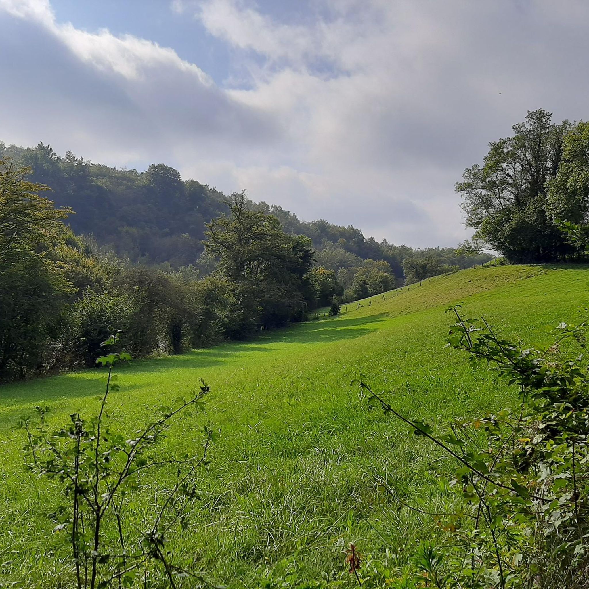
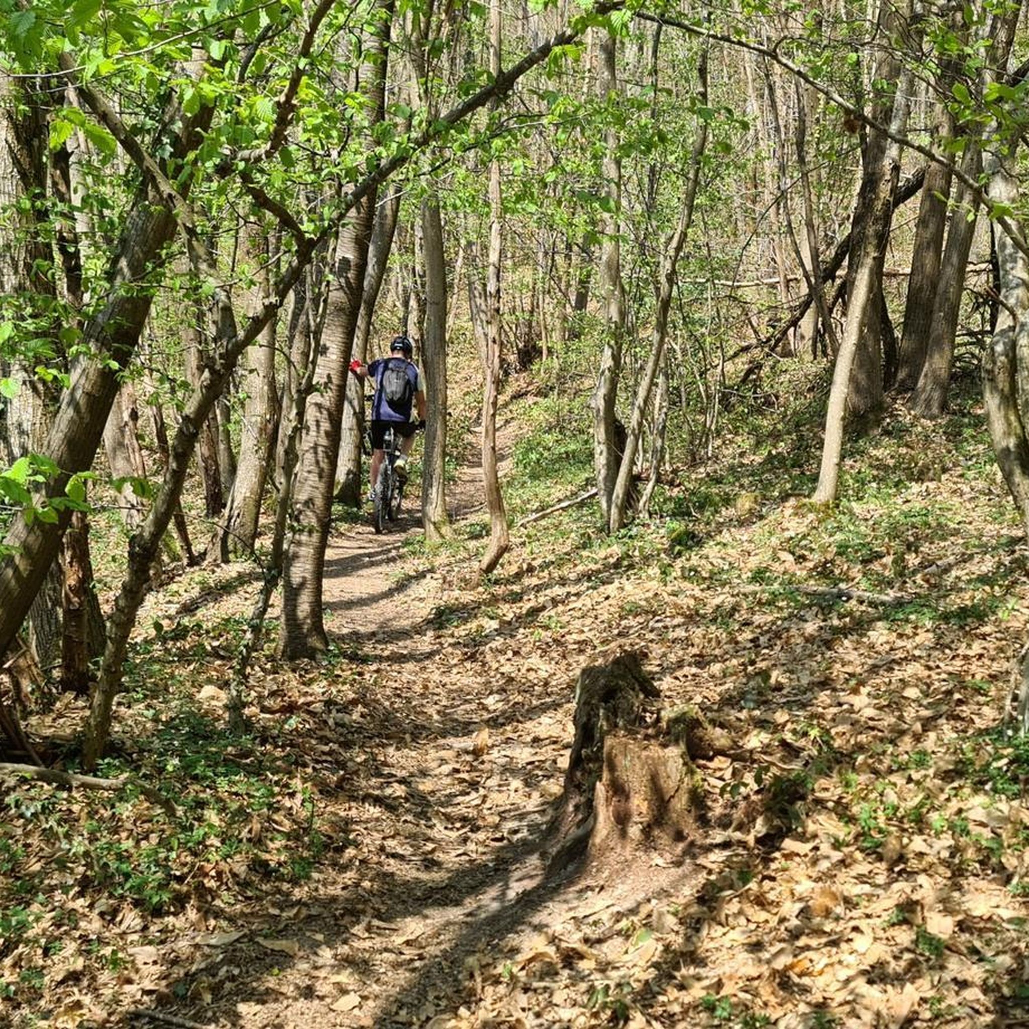
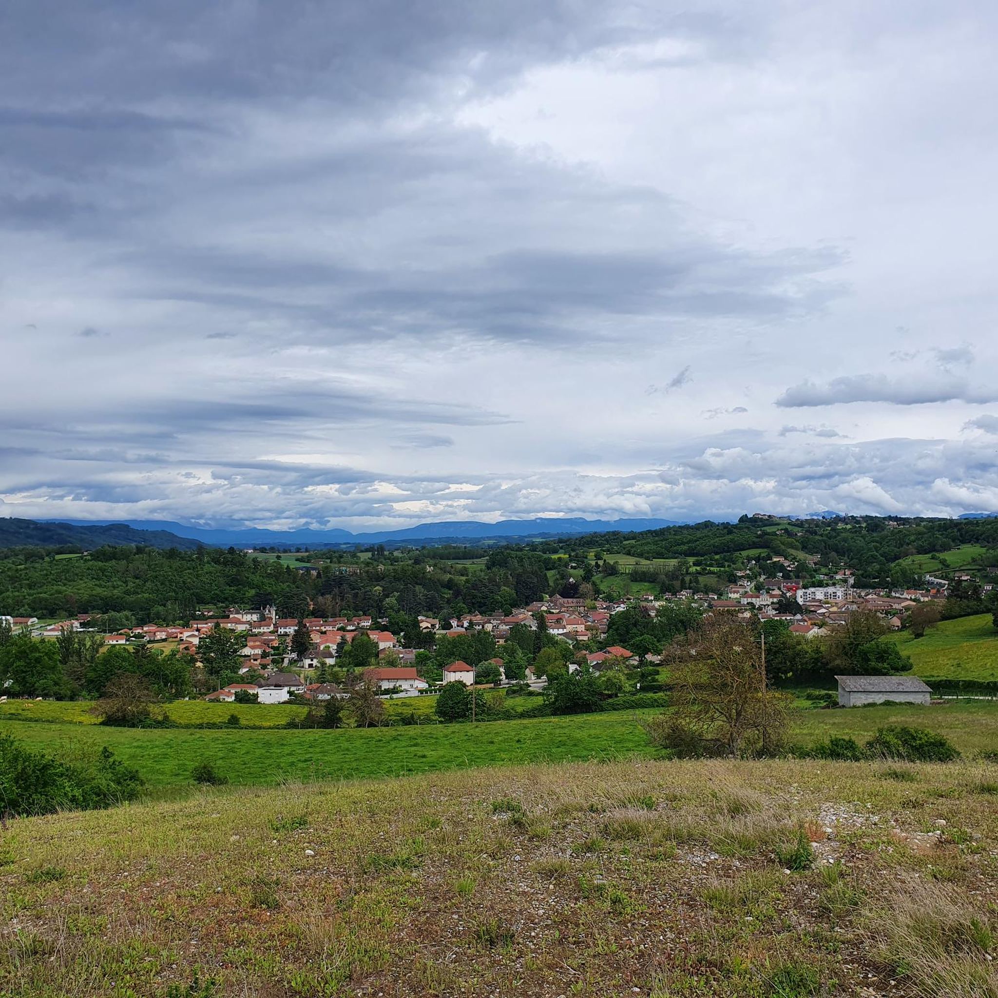
Hiking around Nivolas-Vermelle offers diverse landscapes, characterized by a mix of hills, greenways, and tranquil ponds. The region provides varied terrain, including paths through wooded areas and open countryside. Hikers can experience panoramic vistas, with views extending to the Alps, Chartreuse, and Terres Froides from elevated points. The area features natural elements like the Bourbre Greenway and the Étang de la Rosière, contributing to its appeal for outdoor activities.
Best hiking trails around Nivolas-Vermelle
- The most popular hiking route is…
Last updated: August 18, 2026
4.0
(2)
22
hikers
15.4km
04:23
340m
340m
Moderate hike. Good fitness required. Mostly accessible paths. Sure-footedness required.
23
hikers
9.73km
02:43
190m
190m
Moderate hike. Good fitness required. Easily-accessible paths. Suitable for all skill levels.

Sign up for free
5.0
(1)
37
hikers
5.14km
01:28
110m
110m
Easy hike. Great for any fitness level. Easily-accessible paths. Suitable for all skill levels.
3
hikers
22.8km
06:12
320m
320m
Hard hike. Very good fitness required. Easily-accessible paths. Suitable for all skill levels.
9
hikers
8.27km
02:17
150m
150m
Moderate hike. Good fitness required. Easily-accessible paths. Suitable for all skill levels.
Get access to more routes and recommendations from other explorers.
Sign up for free
Already have an account?
Our route recommendations are based on thousands of hikes, rides, and runs completed by other people on komoot.
Start today with a free account
Your next adventure awaits.
Login or Signup


Tips from the Community

Lovely view of the pond. A little cool spot when it's hot.
0
0

Pretty little waterfall at the entrance to the village of Saint-Savin, it is very nicely decorated for Christmas, to see at night!
0
0
Rosière Pond NATURAL HERITAGE Rosière Pond BACK TO THE LIST Rosière Pond© Martial-Couderette The Rosière pond is located to the north-east of the town of Bourgoin-Jallieu on the edge of the town of Ruy-Montceau and offers an ideal relaxing setting. The association “Les Amis de Rosière et de la Nature” manages the pond made available by the city. The Rosière pond, fed by the Loudon stream, was built in the 18th century to power a hemp mill (the current restaurant). This pond was the property of the GENIN family for a long time before being bought by the town of Bourgoin-Jallieu in 1978. Since then, the town of Bourgoin-Jallieu has done everything possible to make this site a protected natural place, walks and hikes and a fishing spot. Many hiking trails start from the pond. Source: Isère Tourism
1
0
In the 10th century, a community of monks must have lived in Demptézieu, if only for the construction of a church. This monastery, under the dependence of the church of Lyon, managed the town, its lands and its vineyards. Around 1172, this church was placed under the patronage of Saint Chef and until 1801, it was patronized by the diocese of Vienna. In the 11th century, the castle of Demptézieu was defended by 15 towers connected by a surrounding wall 800m long and 1.30m thick. These fortifications went as far as the Chapelle Seigneuriale (the current church). In 1462, the chapel was reported as a parish church. Over the ages, the Church of Demptézieu was built in 3 stages and underwent numerous transformations. A plan from 1728 shows a Church in the shape of a cross: To the right of the choir, the Sainte Madeleine chapel. To the left of the choir, the Saint Etienne chapel The bell tower was located in the center of the choir. In 1885, the church was too small. The chapels were extended into 2 side naves, which transformed the Latin cross into a church with 3 naves. Today : To the right of the choir, a chapel dedicated to the Virgin To the left of the choir, a chapel dedicated to Saint Barhélémy, patron of the parish. We notice the presence of the bell tower above the porch. In the choir, a painting of St Barthélémy was offered by the Carthusians.
1
0
Magnificent castle which you can go up to and admire.
1
0
Small wooden pontoon which allows you to reach the pond
1
0

left a little too late to see the sunrise on the heights of Plan Bourgoin
1
0

I've done Rosière several times never seen that there was a bikepark part thanks for sharing 👍
2
0
Frequently Asked Questions
How many hiking trails are available around Nivolas-Vermelle?
Nivolas-Vermelle offers an extensive network of over 220 hiking routes. These range from easy strolls to more challenging paths, ensuring options for various fitness levels.
What types of landscapes can I expect to see while hiking in Nivolas-Vermelle?
The region features diverse landscapes, including rolling hills, serene greenways, and tranquil ponds. You'll find paths winding through wooded areas, open countryside, and elevated points offering panoramic views.
Are there any easy hiking trails suitable for beginners or a relaxed walk?
Yes, there are 88 easy routes available. An excellent option for a relaxed walk is the Wooden pontoon – Étang de Rosière loop from Bourgoin-Jallieu, which is 7.1 km long and offers pleasant scenery around the pond.
Where can I find panoramic views during my hike?
For breathtaking vistas, consider routes that lead to the Orientation table at the summit of Chèzeneuve, where you can see the Alps, Ain mountains, and even Mont Ventoux on clear days. The Saint Joseph Chapel also provides magnificent views of the Chartreuse and Terres Froides.
What are some notable natural features or attractions to look out for on the trails?
Hikers can enjoy the tranquil Étang de la Rosière, which is a lovely spot to cool down. The Bourbre Greenway offers a pleasant, shaded path away from traffic. You might also encounter historical sites like the old fortified house of Pollouds.
Are there any circular hiking routes in Nivolas-Vermelle?
Many routes in Nivolas-Vermelle are circular. For example, the Étang de Rosière – Wooden pontoon loop from Stade Pierre Rajon is a moderate 7.7 km path that allows for a comprehensive exploration of the pond area and surrounding green spaces.
What do other hikers say about the trails in Nivolas-Vermelle?
The trails in Nivolas-Vermelle are highly regarded by the komoot community, with an average rating of 4.5 stars from over 200 reviews. Hikers often praise the varied terrain, the tranquil atmosphere of the ponds, and the expansive views from elevated points.
Are there any longer, more challenging hikes available?
Yes, for those seeking a longer challenge, the View of the Chartreuse loop from ZA Le Perelly is a moderate 17.0 km trail that takes nearly 5 hours to complete, offering significant elevation changes and rewarding views.
Can I find historical sites or heritage trails in the area?
Nivolas-Vermelle features 'Patrimonial Hiking Trails' designed to help visitors discover the commune's heritage. These trails can lead you to historical points of interest such as the site of the old fortified house of Pollouds, also known as the 'Delay' castle, and its circular chapel.
What is the general difficulty level of hikes in Nivolas-Vermelle?
The hiking trails around Nivolas-Vermelle cater to a wide range of abilities. While there are 88 easy routes, the majority (130) are moderate, and a few (3) are considered difficult, ensuring options for all experience levels.
Are there any trails that pass by water features?
Many trails incorporate water features. The Wooden pontoon – Étang de Rosière loop from Stade Pierre Rajon is a popular 5.2 km route that offers lovely views of the tranquil Étang de la Rosière.
Most popular routes around Nivolas-Vermelle
Most popular attractions around Nivolas-Vermelle

Get inspired with the komoot mobile app


Explore more
Browse the best Hikes in other regions.
