The best MTB trails around Saint-Andéol
4.5
(266)
1,999
riders
92
rides
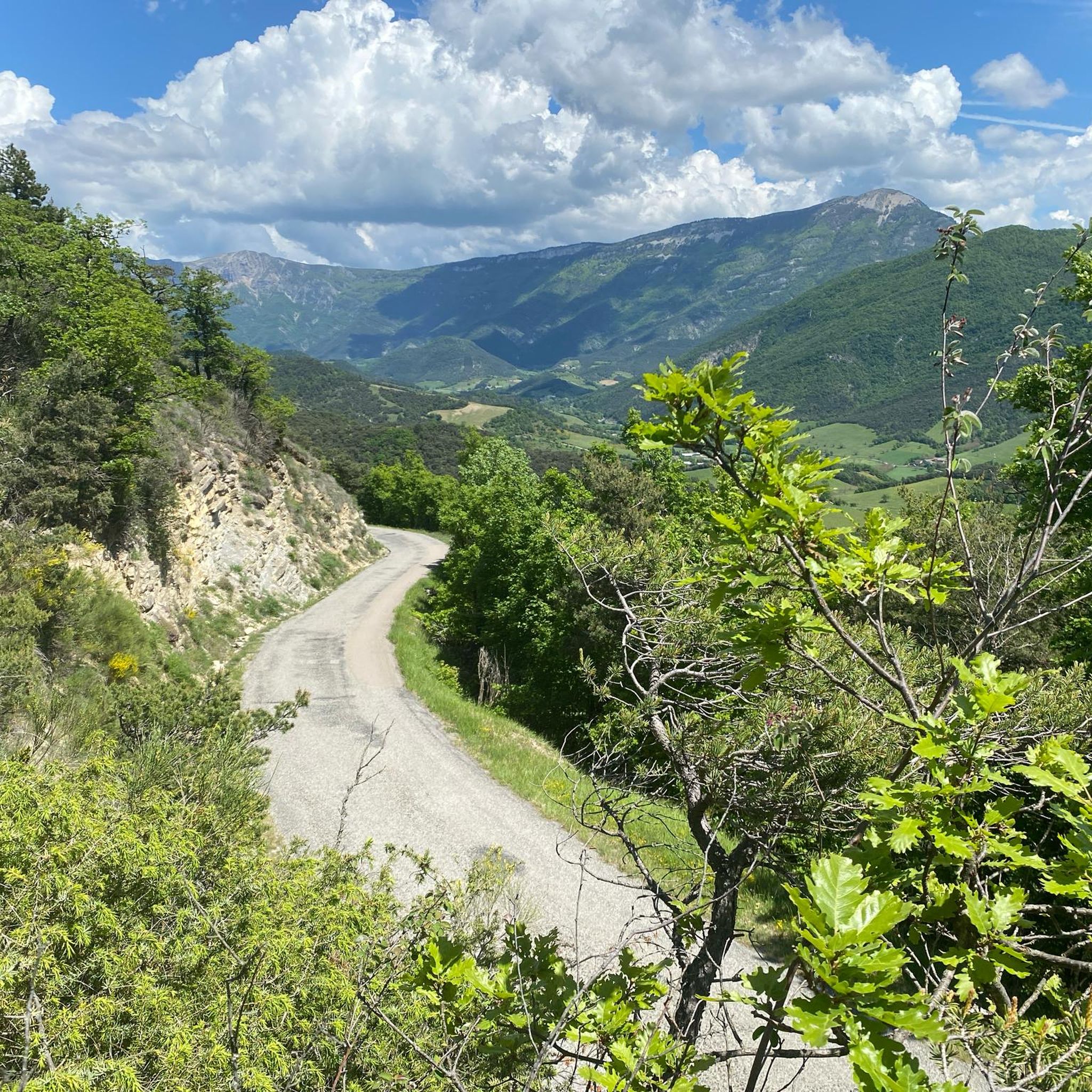
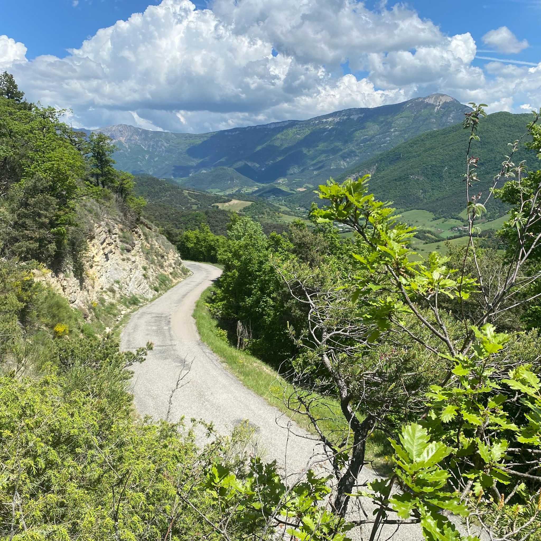
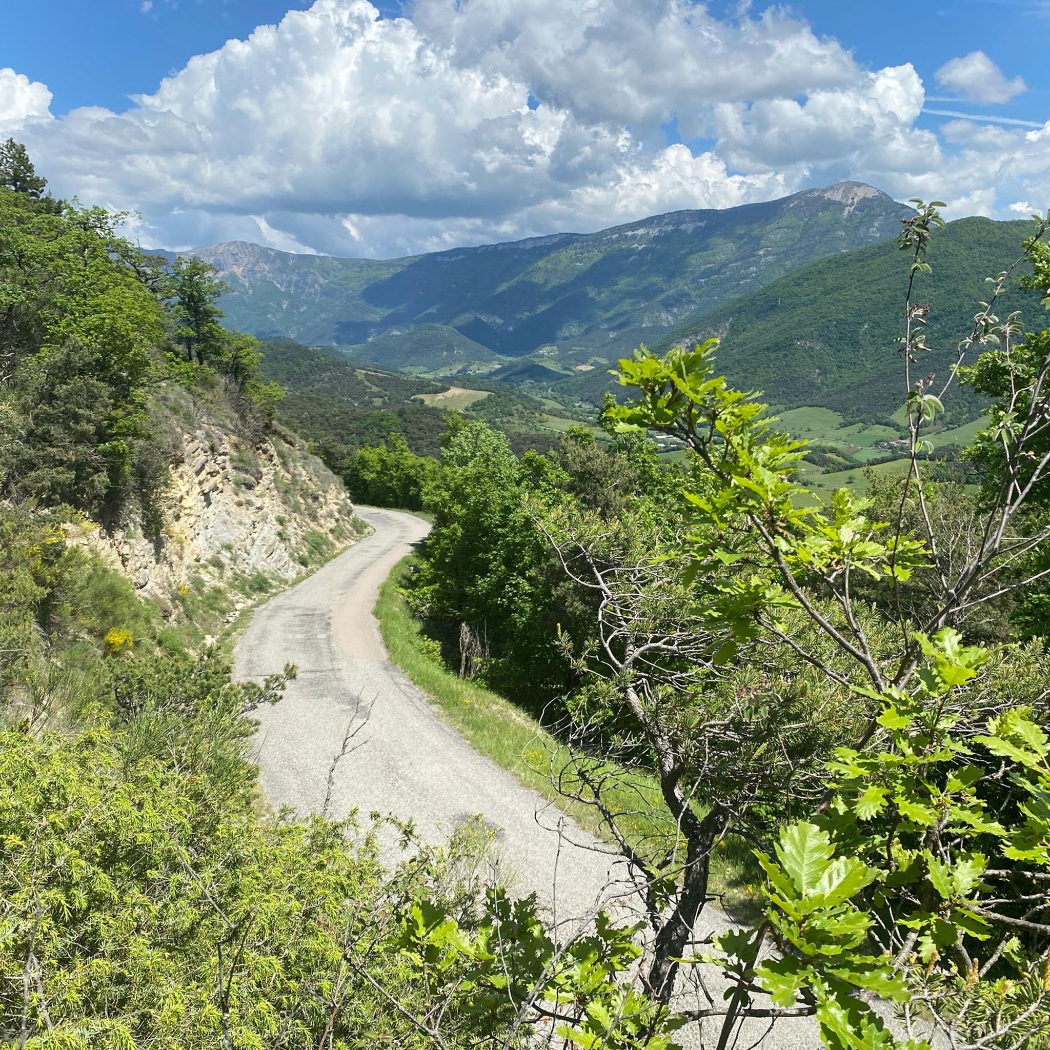
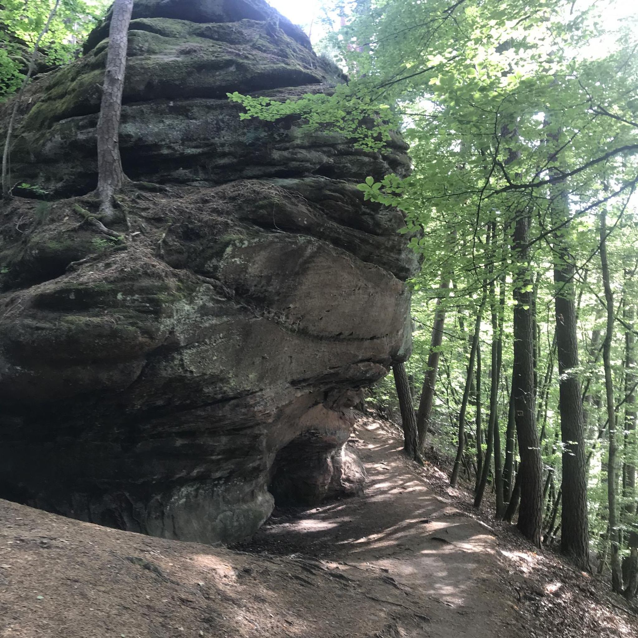
Mountain biking around Saint-Andéol offers a diverse landscape within the Monts d'Ardèche Regional Nature Park. The terrain features varied topography with elevations ranging from 304 to 786 meters, encompassing hills, valleys, and rocky alluvial gorges. Remnants of volcanic activity, including basaltic flows, characterize the scenery, alongside wooded ridges dominated by chestnut trees. Rivers like the Sandron and Oize further contribute to the varied natural features found along the routes.
Best mountain bike trails around Saint-Andéol
- The most popular mountain bike…
Last updated: November 1, 2026
4.5
(31)
163
riders
37.0km
02:53
650m
650m
Moderate mountain bike ride. Good fitness required. Advanced riding skills necessary.
4.3
(6)
45
riders
33.7km
02:14
520m
520m
Moderate mountain bike ride. Good fitness required.

5.0
(2)
18
riders
59.4km
03:38
710m
700m
Moderate mountain bike ride. Good fitness required.
4.5
(4)
11
riders
25.1km
02:34
730m
730m
Moderate mountain bike ride. Good fitness required.
4.4
(5)
14
riders
18.8km
01:13
160m
160m
Easy mountain bike ride.
Get access to more routes and recommendations from other explorers.
Already have an account?
Our route recommendations are based on thousands of hikes, rides, and runs completed by other people on komoot.
Start today with a free account
Your next adventure awaits.


Tips from the Community

The former monastery has a small refreshment stand and a shop with local products in its courtyard.
0
0

Definitely not an easy route; many steep climbs with bike in hand. A real hiking bike.
1
0
A good alternative to the D93 on the other side of the Drôme. There are also a few swimming spots.
0
0

A telescope on the side of the road before Chamaloc
0
0
For a short Sunday outing, a quiet, clean road for a family bike ride
0
0

Carcasses are dropped off at the aviary on Mondays, Wednesdays, and Fridays. It's an ideal place to observe griffon vultures up close.
0
0
Frequently Asked Questions
How many mountain bike trails are available around Saint-Andéol?
There are nearly 90 mountain bike trails around Saint-Andéol. These routes cater to various skill levels, with 4 easy, 41 moderate, and 44 difficult options available.
What kind of terrain can I expect when mountain biking in Saint-Andéol?
The terrain around Saint-Andéol is diverse, featuring elevations from 304 to 786 meters. You'll encounter a mix of hills, valleys, rocky alluvial gorges, and remnants of volcanic activity like basaltic flows. The routes also pass through wooded ridges dominated by chestnut trees and along rivers such as the Sandron and Oize.
Are there any family-friendly mountain bike trails in Saint-Andéol?
Yes, Saint-Andéol offers a few easier routes suitable for families. While most trails are moderate to difficult, there are 4 designated easy routes that provide a gentler introduction to the region's beautiful landscapes.
What do other mountain bikers say about the trails in Saint-Andéol?
The mountain bike trails in Saint-Andéol are highly regarded by the komoot community, holding an average rating of 4.3 stars from over 200 reviews. Riders often praise the varied terrain, scenic views, and the challenging yet rewarding climbs.
Are there any circular mountain bike routes available?
Yes, many of the trails around Saint-Andéol are circular. For example, the moderate Col de Marignac – Die loop from Col de Marignac is a popular circular option, covering 37.7 km. Another moderate loop is the Col de la Croix (746 m) – Pontaix loop from Saint-Andéol, which spans 59.4 km.
What are some notable natural features or landmarks to see while mountain biking?
The region is rich in natural beauty and geological interest. You can encounter volcanic formations, chestnut groves, and river valleys. For specific landmarks, consider visiting the stunning Druise Waterfall or exploring the Font d'Urle Ice Cave. The area also features several mountain passes like Col de Rousset and Col de la Croix (746 m), offering panoramic views.
Are there any challenging routes for experienced mountain bikers?
Absolutely. Saint-Andéol is known for its challenging trails, with 44 routes rated as difficult. A particularly demanding option is the Saint-Christophe Chapel – View of Beaufort-sur-Gervanne loop from Pontaix, which covers 89 km with significant elevation changes.
What is the best time of year for mountain biking in Saint-Andéol?
Given its location within the Monts d'Ardèche Regional Nature Park, Saint-Andéol offers pleasant riding conditions during spring, summer, and autumn. The wooded ridges provide shade in warmer months, and the varied topography means you can find suitable trails even during shoulder seasons. Always check local weather conditions before heading out.
Can I find routes that offer extensive views?
Yes, many routes provide extensive views, especially those that climb to higher elevations or pass through open areas. The difficult Nice balcony overlooking the Diois – Saint-Christophe Chapel loop from Pontaix is specifically known for its extensive views over the Diois region.
Are there any routes that pass through historical towns or villages?
While the focus is on natural trails, some routes may pass near or through charming local areas. For instance, the Col de Marignac – Die loop from Col de Marignac leads towards Die, a town with an Old Town that offers a glimpse into the region's history.
What is the elevation range for mountain biking in this area?
The elevation in the Saint-Andéol area ranges from 304 meters to 786 meters. This varied topography ensures a good mix of climbs and descents, providing diverse challenges and scenic perspectives for mountain bikers.
Most popular routes around Saint-Andéol
Most popular attractions around Saint-Andéol

Get inspired with the komoot mobile app


Explore more
Browse the best MTB trails in other regions.
