The best walks and hikes around Marcieux
4.4
(1227)
11,531
hikers
274
hikes
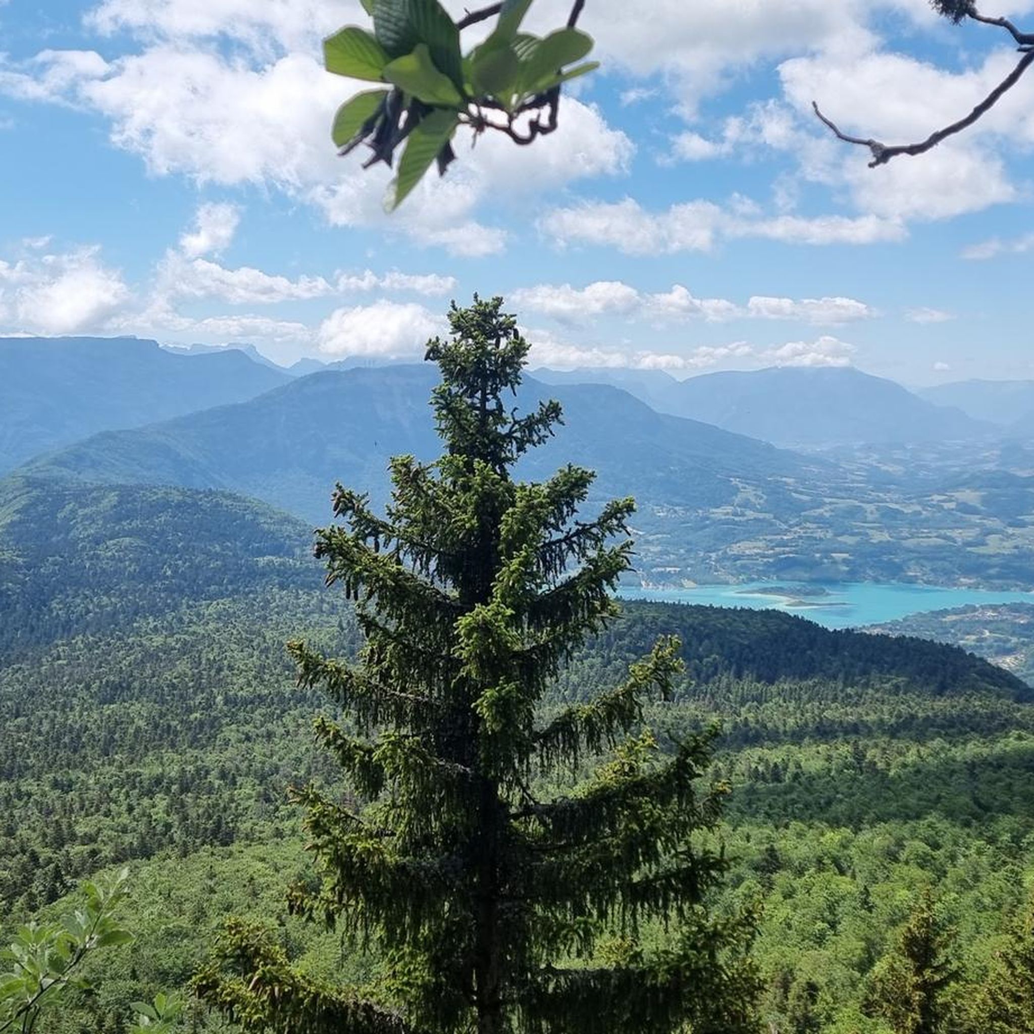
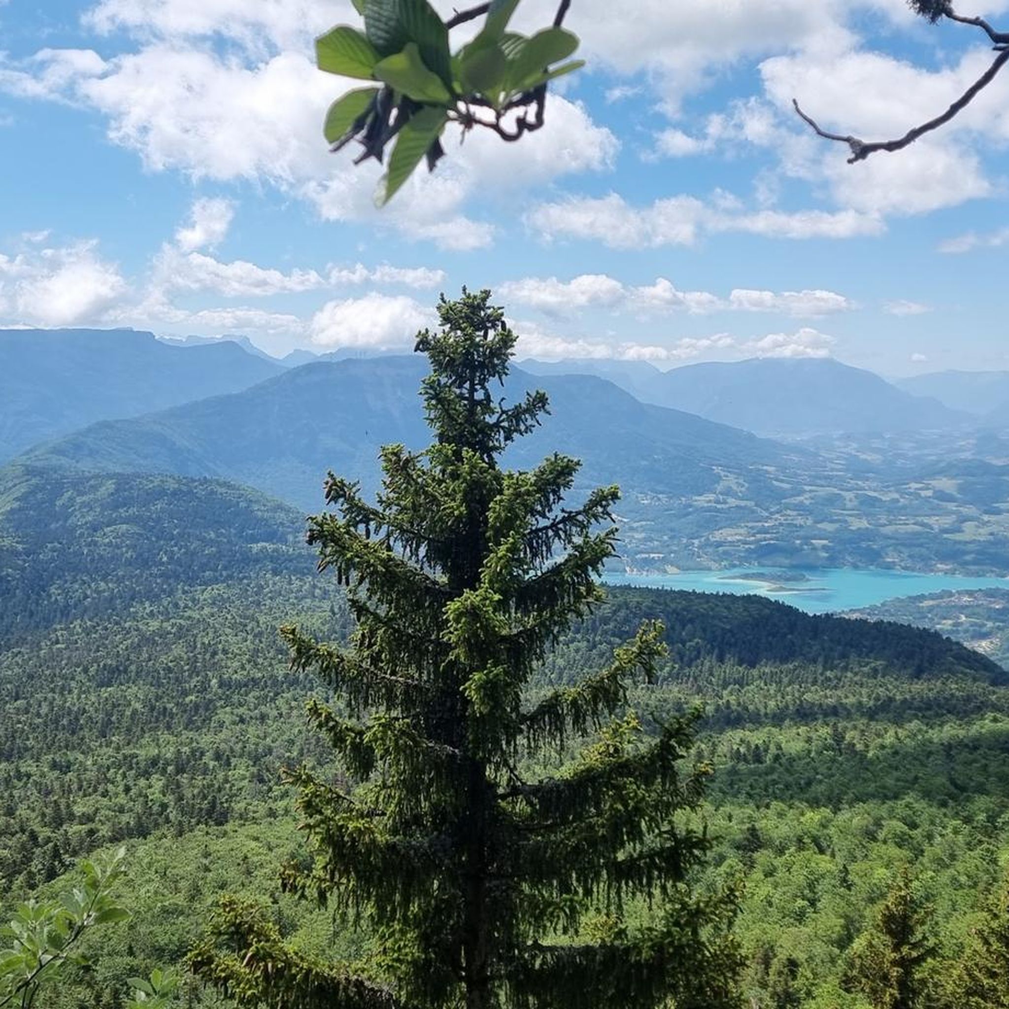
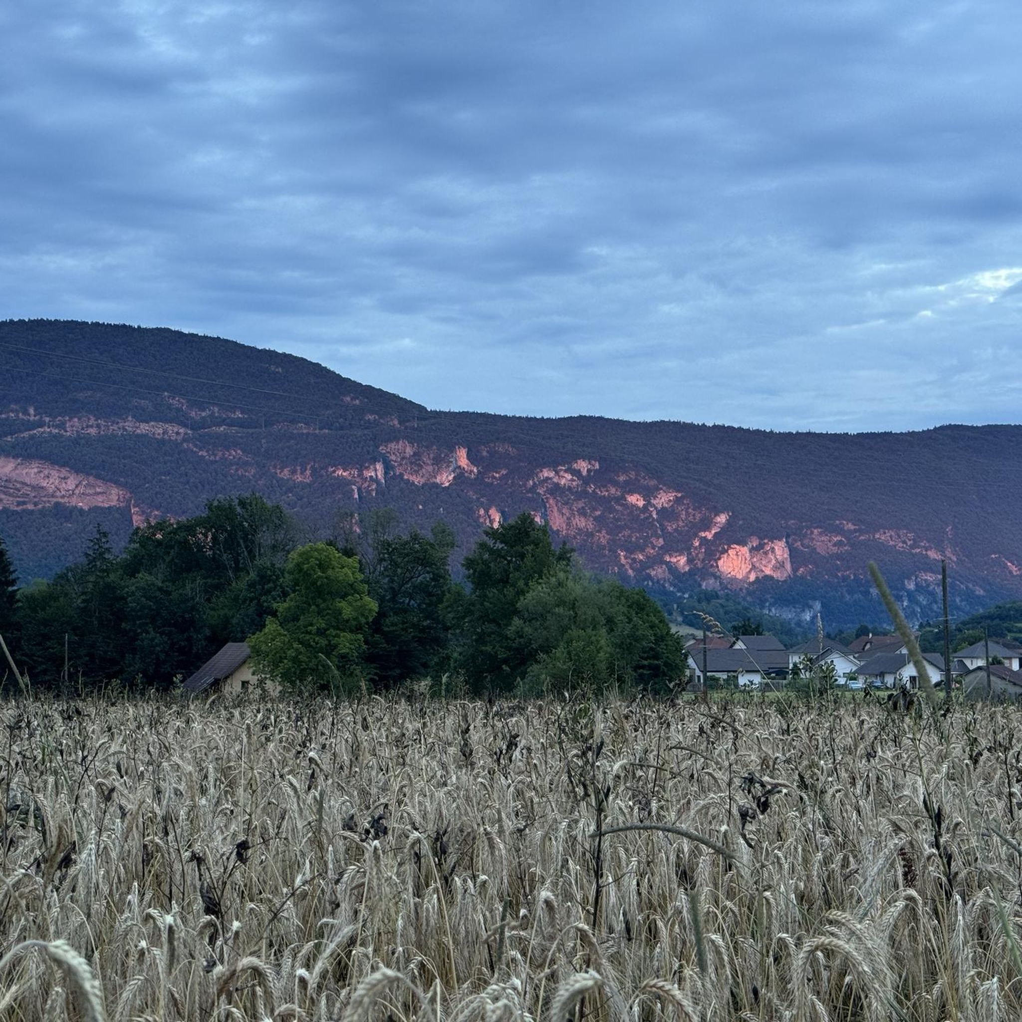
Hiking around Marcieux offers access to the diverse landscapes of the Chartreuse Natural Park. The region is characterized by the Chartreuse Massif, featuring plateaus, mountain pastures, and dense forested areas. Trails often provide views over valleys, including the Grésivaudan valley, with varied terrain that includes both ascents and flatter sections.
Best hiking trails around Marcieux
- The most popular hiking route is Signal Cross – Richard's castle loop from Route forestière, a 5.2 miles (8.4 km) trail that takes 2…
Last updated: June 28, 2026
4.6
(7)
70
hikers
8.40km
02:59
410m
410m
Hard hike. Good fitness required. Sure-footedness, sturdy shoes and alpine experience required.
5.0
(1)
25
hikers
10.3km
03:52
470m
470m
Hard hike. Good fitness required. Sure-footedness, sturdy shoes and alpine experience required.

Sign up for free
4.0
(1)
26
hikers
18.9km
06:35
580m
580m
Hard hike. Very good fitness required. Sure-footedness, sturdy shoes and alpine experience required.
5.0
(2)
11
hikers
26km
08:48
930m
930m
Hard hike. Very good fitness required. Sure-footedness, sturdy shoes and alpine experience required.
4.5
(2)
14
hikers
9.77km
02:50
260m
260m
Moderate hike. Good fitness required. Easily-accessible paths. Suitable for all skill levels.
Get access to more routes and recommendations from other explorers.
Sign up for free
Already have an account?
Our route recommendations are based on thousands of hikes, rides, and runs completed by other people on komoot.
Start today with a free account
Your next adventure awaits.
Login or Signup


Tips from the Community


Great view of the towering Mont Blanc
0
0

A very quiet and pleasant road. On the Chambéry side, a good part is in the shade, the slope of the main road is rather constant around 7-8%. On the Novalaise side, the mineral aspect with the cliff is more present in the middle of the climb. This side is quite steep with kilometers at 8-9%. On each side, 1 belvedere offers a breathtaking view of Lake Aiguebelette (approx. 2 km from the summit) and on the other side of Chambéry, the Bauges, Belledonne, the Chartreuse (500 m from the summit). The summit is in the forest.
1
0

Leaving from Chambery, the beginning hurts a little, but the rest is quite good
0
1

There is a mistake about the valleys!
2
0

Pass without too much traffic. Quite steep start to reach Saint Sulpice, the rest is rather regular. The pass is closed in winter
2
0

Unmissable “road cycling” of the Col de l'Épine located at an altitude of 990 m.
1
0
Frequently Asked Questions
How many hiking trails are available around Marcieux?
There are over 270 hiking routes around Marcieux, offering a wide range of options for different skill levels and preferences within the Chartreuse Natural Park.
What kind of landscapes will I encounter on hikes near Marcieux?
Hikes near Marcieux traverse the diverse landscapes of the Chartreuse Massif. You can expect to find trails winding through plateaus, mountain pastures, and dense forested areas. Many routes offer breathtaking panoramic views, including distant glimpses of Mont-Blanc, Belledonne, Oisans, and Ecrins, as well as views over valleys like the Grésivaudan valley.
Are there easy hiking options for beginners or families in Marcieux?
Yes, Marcieux offers over 90 easy hiking routes. Trails like the one leading to La Chapelle or La route forestière are particularly suitable for families, providing accessible paths and enjoyable scenery.
What are the more challenging hikes like in the Marcieux area?
For experienced hikers, there are 44 difficult routes available. These trails often feature steep climbs and cover longer distances, such as the View of Lake Aiguebelette – Saint-Michel Pass loop from Nances, which spans over 26 km with significant elevation gain, offering a true mountain experience.
Are there any circular hiking routes around Marcieux?
Yes, many routes in the Marcieux area are circular, allowing you to start and end at the same point. An example is the Montbel Castle loop from Novalaise, a moderate 10.5 km hike that takes around 3 hours to complete.
What natural features or landmarks can I see while hiking in Marcieux?
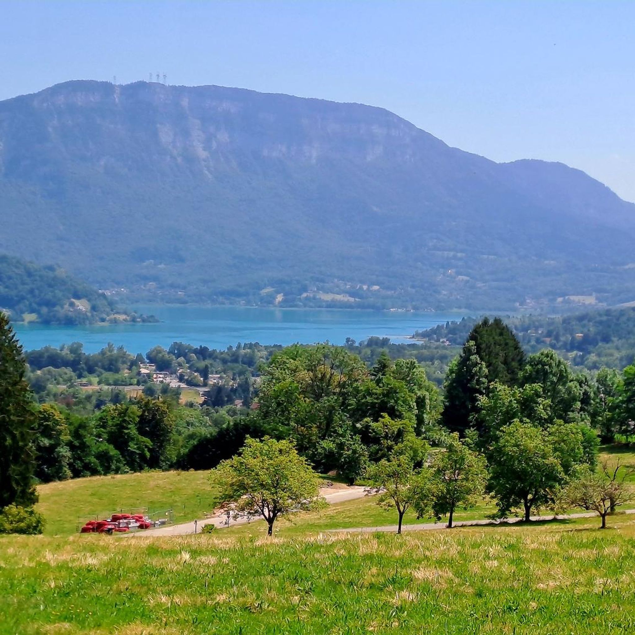
The region is rich in natural beauty and landmarks. You can explore mountain passes like Épine Pass and Saint-Michel Pass, or enjoy stunning vistas from viewpoints such as Pierre Nioule – View of Lake Bourget and Aix-les-Bains. The nearby Lac d'Aiguebelette also offers scenic routes.
What do other hikers enjoy most about hiking in Marcieux?
The hiking trails around Marcieux are highly rated by the komoot community, with an average score of 4.4 stars from over 1,100 reviews. Hikers frequently praise the diverse terrain, the stunning panoramic views of the Chartreuse Massif, and the well-maintained paths that cater to various ability levels.
Is Marcieux a good destination for hiking with dogs?
While specific dog-friendly regulations can vary, the Chartreuse Natural Park generally welcomes dogs on trails, provided they are kept on a leash to protect wildlife and livestock. Many of the forested paths and mountain pastures offer suitable environments for hiking with your canine companion.
Are there any specific attractions or activities near the hiking trails?
Yes, the Col de Marcieu Fun Activity Area (Espace Ludique) offers multi-seasonal activities, including all-terrain scooter rides and an acrobatic park with zip lines in summer, complementing the hiking experiences. You can find more information about this area at chartreuse-tourisme.com.
What is the typical duration for hikes in the Marcieux region?
Hike durations in Marcieux vary significantly depending on the route's length and difficulty. Easy family trails might take 1-2 hours, while moderate routes like the Montbel Castle loop from Novalaise typically take around 3 hours. More challenging and longer trails, such as the Le Molard Noir – Molard Noir Viewpoint loop from Nances, can require over 6 hours to complete.
Are there good viewpoints along the hiking trails in Marcieux?
Absolutely. The Marcieux region is renowned for its panoramic views. Many trails lead to vantage points offering extensive vistas of the Chartreuse Massif, the Grésivaudan valley, and even distant peaks like Mont-Blanc. Highlights such as View of the Rhône from Belvédère du Site des Fils provide exceptional photo opportunities.
Most popular routes around Marcieux
Most popular attractions around Marcieux

Get inspired with the komoot mobile app


Explore more
Browse the best Hikes in other regions.
