The best cycling routes around Gerbaix
4.4
(904)
9,014
riders
141
rides
Touring cycling around Gerbaix, a commune in the Savoie department of France, offers diverse landscapes for exploration. The region is characterized by its elevation ranging from 440 to 858 meters, providing varied terrain that includes valleys, hills, and access to mountainous areas. Gerbaix is situated near Lac d'Aiguebelette, known for its turquoise waters, and provides a base for routes that traverse serene lakeside paths and the Savoyard foreland. The area features well-paved surfaces suitable for road cycling, alongside routes that…
Last updated: October 21, 2026
4.4
(172)
1,251
riders
27.2km
01:50
320m
320m
Hard bike ride. Good fitness required. You may need to push your bike for some segments of this route.
4.7
(10)
161
riders
Hard bike ride. Very good fitness required. Mostly paved surfaces.

3.0
(1)
35
riders
34.4km
03:08
760m
760m
Hard bike ride. Very good fitness required. You may need to push your bike for some segments of this route.
5.0
(1)
29
riders
54.9km
03:50
1,010m
1,010m
Hard bike ride. Very good fitness required. Mostly paved surfaces.
29
riders
24.8km
01:38
310m
310m
Moderate bike ride. Good fitness required. Mostly paved surfaces.
Get access to more routes and recommendations from other explorers.
Already have an account?
Our route recommendations are based on thousands of hikes, rides, and runs completed by other people on komoot.
Start today with a free account
Your next adventure awaits.


Tips from the Community

Col de la Lattaz is a road pass located at an altitude of 754 meters in the Savoie department, in the heart of the Avant-Pays savoyard. Although it is administratively located in Savoie, it geologically belongs to the Jura Massif. It is a popular spot for cyclists and hikers for its rural landscapes and its numerous access variants.
0
0
Col de la Lattaz is a mountain pass located at an altitude of 754 meters in the Savoie department, in the heart of the Avant-Pays savoyard. Although it is administratively located in Savoie, it geologically belongs to the Jura Massif. It is a popular spot for cyclists and hikers for its rural landscapes and its numerous access variants.
0
0
This is a spot highly appreciated by local cyclists for its tranquility, its little-used roads, and its shaded forest paths. Several slopes allow access to it
0
0
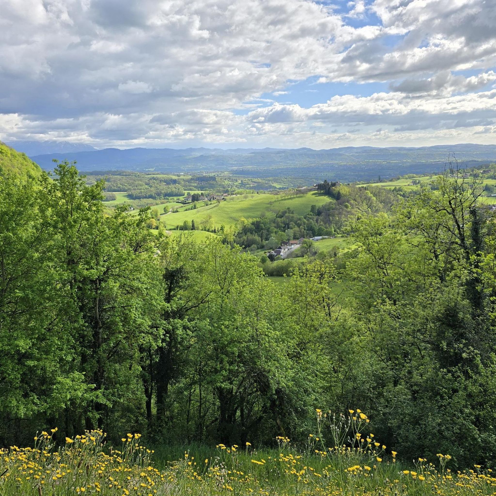
The commune of Champagneux, nestled in the Avant-Pays savoyard, is surrounded by magnificent viewpoints over the Rhône valley and the Mont Tournier chain. Belvédère du Recorba (Rocher des Corbeaux) Belvédère du Site des Fils Le Belvédère de Crozet
0
0
A cloud waterfall (or cascading cloud) is a rare meteorological and topographical phenomenon where a sea of fog or a very humid air mass overflows a geographical relief, such as a mountain range or a cliff, giving the perfect illusion of a liquid waterfall.
0
0

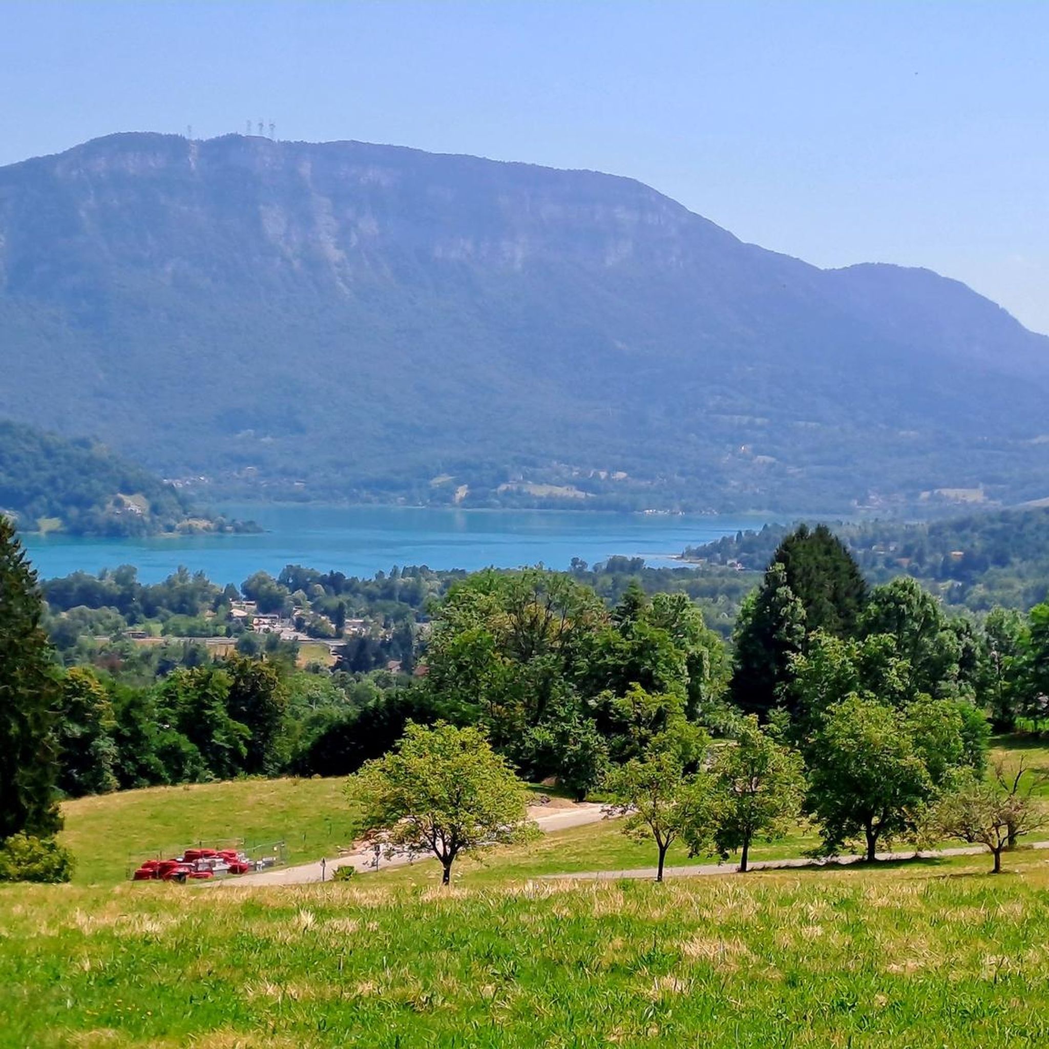
Beautiful views of the blue lake
0
0

With great views no car traffic
0
0
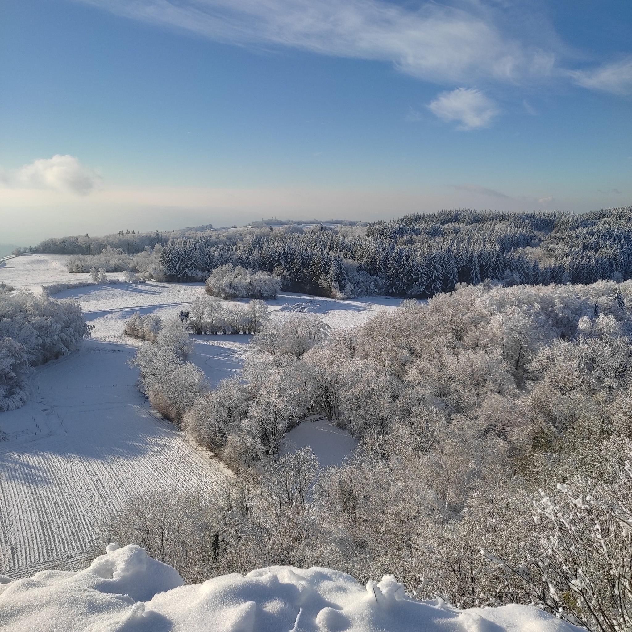
Cascade of clouds overlooking the valley in a sea of clouds. On 01/11 around 10am, fog in the plains and sun above the cloud ceiling.
0
0
Frequently Asked Questions
How many touring cycling routes are available in Gerbaix?
There are over 130 touring cycling routes around Gerbaix, offering a wide range of options for exploration. These routes are highly rated by the komoot community, with an average score of 4.3 stars.
What kind of terrain can I expect when touring cycling around Gerbaix?
The terrain around Gerbaix is quite varied, ranging from 440m to 858m in elevation. You can expect serene lakeside paths, rolling hills, and access to more challenging mountainous areas in the Savoyard foreland. Routes often feature well-paved surfaces suitable for road cycling, as well as paths exploring rural landscapes and valleys.
Are there any family-friendly touring cycling routes in Gerbaix?
Yes, Gerbaix offers options suitable for families. While specific 'family-friendly' routes aren't explicitly detailed, the region's mix of gentle circuits and lakeside paths, particularly around Lac d'Aiguebelette, provides easier terrain. Look for routes with lower elevation gain and shorter distances for a more relaxed family outing.
Can I bring my dog on touring cycling routes near Gerbaix?
The local regulations regarding dogs on cycling paths in the Savoie region can vary. While many natural areas in France are generally dog-friendly, it's always best to check specific signage along individual routes or consult local tourism information for any restrictions, especially in protected natural zones or on private land.
What are some notable natural features or landmarks I can see along the touring cycling routes?
You'll encounter several beautiful natural features and landmarks. Many routes offer stunning views of Lac d'Aiguebelette, known for its turquoise waters. Other highlights include mountain passes like Épine Pass and Saint-Michel Pass, and viewpoints such as Mont Grêle Viewpoint. The region also features impressive geological formations like the Gorges du Fier, though these may require a short detour from direct cycling paths.
Are there any circular touring cycling routes starting from Gerbaix?
Yes, there are several circular routes. A popular option is the Offroad section – Turquoise Lake Loop loop from Gerbaix, a moderate 15.4-mile (24.8 km) path that provides an immersive experience around Lac d'Aiguebelette, starting directly from Gerbaix.
What is the best time of year for touring cycling in Gerbaix?
The best time for touring cycling in Gerbaix is typically from spring through early autumn (April to October). During these months, the weather is generally mild and pleasant, with less rainfall and warmer temperatures, making for ideal cycling conditions. Summer offers the warmest lake waters, while spring and autumn provide vibrant scenery.
Where can I find parking if I drive to Gerbaix for cycling?
While specific parking areas for cyclists in Gerbaix are not detailed, you can generally find parking in the village center or near popular starting points for routes, such as Novalaise. Larger towns nearby like Chambéry and Aix-les-Bains also offer ample parking facilities if you plan to start your ride from there.
Is public transport available to access cycling routes in Gerbaix?
Public transport options directly to Gerbaix may be limited, as it is a rural commune. However, larger nearby towns like Chambéry and Aix-les-Bains are well-connected by regional public transport. From these hubs, you might find local bus services that can take you closer to Gerbaix or specific route starting points. It's advisable to check local bus schedules and policies regarding bicycles in advance.
What are the difficulty levels of touring cycling routes in Gerbaix?
Gerbaix offers a range of difficulty levels. You'll find 26 easy routes, 49 moderate routes, and 62 difficult routes. This variety ensures options for all skill levels, from gentle rides around the lake to more challenging ascents into the surrounding hills and mountain passes.
Are there options for more challenging touring cycling routes?
Yes, for experienced touring cyclists seeking a challenge, Gerbaix provides access to routes with significant elevation gain. For example, the Col du Mont Tournier (851 m) – Crusille Pass (573 m) loop from Novalaise is a difficult route covering 34.4 km with over 760m of ascent, offering demanding climbs and rewarding views.
Where can cyclists find accommodation or places to eat near Gerbaix?
Gerbaix itself is a small commune, but nearby towns and villages offer various options. Novalaise and Saint-Genix-sur-Guiers host local markets and have cafes and restaurants. For a wider selection of accommodation, including hotels, gites, and campsites, consider the larger towns of Chambéry (14 km away) and Aix-les-Bains (16 km away), or areas around Lac d'Aiguebelette.
What do other touring cyclists enjoy the most about touring cycling in Gerbaix?
The area is highly rated by the komoot community, with an average score of 4.3 stars from over 600 reviews. Cyclists often praise the serene lakeside paths, the varied terrain that caters to different abilities, and the beautiful views of Lac d'Aiguebelette. The mix of rural landscapes and access to mountain passes is also a significant draw.
Most popular attractions around Gerbaix

Get inspired with the komoot mobile app


Explore more
Browse the best Cycling routes in other regions.
