The best road cycling routes around Osséja
4.4
(119)
12,781
riders
109
rides
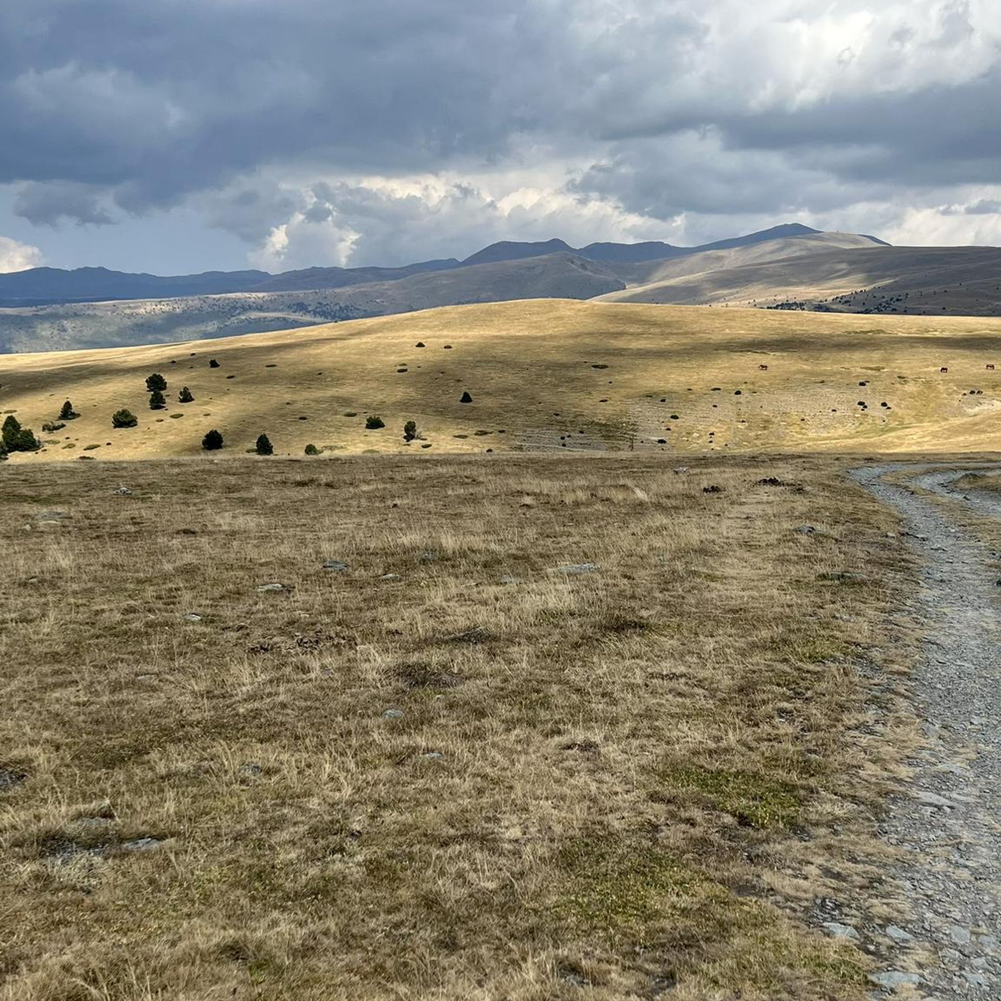
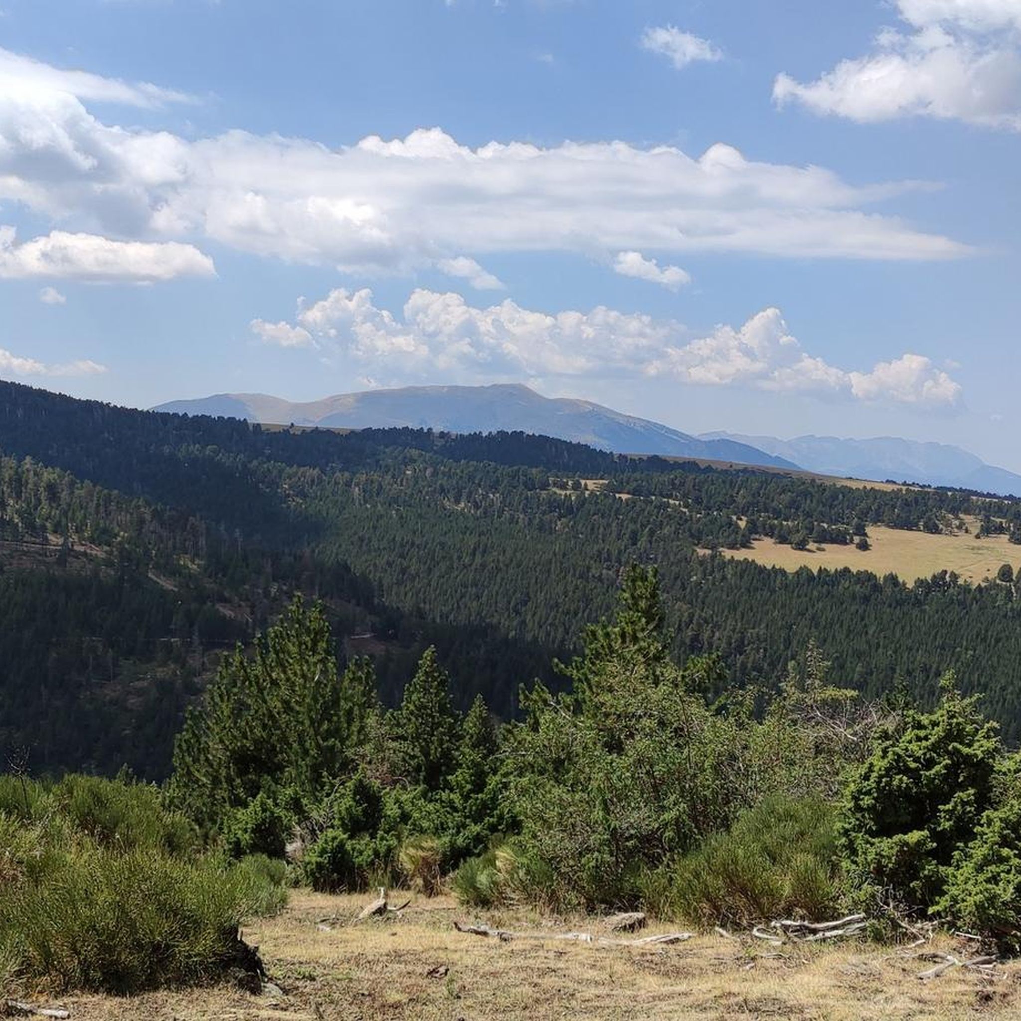
Road cycling routes around Osséja are situated in the Regional Natural Park of the Catalan Pyrenees, at the foot of the Puigmal massif. The terrain features diverse landscapes, including ancient forests, wide-open spaces, and significant elevation changes. This region offers a variety of paved surfaces suitable for road cycling, ranging from challenging mountain passes to more moderate valley routes.
Best road cycling routes around Osséja
- The most popular road cycling route is Collada de Toses Fountain – Collada de Toses…
Last updated: July 1, 2026
3.0
(1)
168
riders
42.5km
02:04
600m
600m
Moderate road ride. Good fitness required. Mostly well-paved surfaces and easy to ride.
1.0
(1)
163
riders
39.3km
02:02
710m
710m
Moderate road ride. Good fitness required. Mostly well-paved surfaces and easy to ride.

Sign up for free
4.3
(3)
89
riders
49.2km
02:24
710m
710m
Moderate road ride. Good fitness required. Mostly well-paved surfaces and easy to ride.
73
riders
62.0km
03:27
1,330m
1,330m
Hard road ride. Very good fitness required. Mostly well-paved surfaces and easy to ride.
4.5
(2)
84
riders
38.7km
02:02
670m
670m
Moderate road ride. Good fitness required. Mostly well-paved surfaces and easy to ride.
Get access to more routes and recommendations from other explorers.
Sign up for free
Already have an account?
Our route recommendations are based on thousands of hikes, rides, and runs completed by other people on komoot.
Start today with a free account
Your next adventure awaits.
Login or Signup


Tips from the Community

A drinking water tap, near the village school, always available 365/24
1
0

This is a shortcut from Bolvir to the village of Guils along a road in perfect condition, narrower than usual and with hardly any traffic, much quieter than the main roads. Starting from Bolvir, at the church of Remei, the road climbs gently in the beginning, then inclines and becomes more difficult in the final stretch, without any impossible gradients. Since this is a section with hardly any trees, the panoramic views of Sardinia are very beautiful, although you may have to stop and look back if you are climbing towards Guils.
0
0

Well, starting from Font Romeu and breaking legs from Mont Louis
0
0
It is a beautiful chapel next to the town of Bolvir, which in turn is next to one of the best hotels in Spanish Cerdanya. This chapel marks the beginning of one of the 2 variants (the hardest, along a narrow but in perfect condition road) to reach Guils, and later to the Guils - Fontanera cross-country ski resort.
1
0
The Col de la Calvaire de Font Romeu is a mountain pass in French Cerdanya, next to the town and ski resort of Font Romeu. This port connects the Bolquère valley with the Cerdanya valley. The port is within the same town of Font Romeu, next to the station's ski lifts. There are many slopes to reach Col de la Calvaire: - the western slope that starts from Ur is approximately 16 km and crosses the town of Targasone and the Col d'Egat. It is a very steep climb along a road in perfect condition, although on holidays there is a lot of traffic. - The southern slope starts from Llívia and crosses Estavar and joins the previous one at the Col d'Egat. Unlike the first, the first section of the climb is very hard, with several horseshoe curves and with wonderful views of the entire Cerdanya and the Tosa d'Alp. - The eastern slope stops at Olette, and after approximately 28 km it reaches the top of the pass, passing through the town of Mont-Louis and Bolquère. It is a very steep climb, like the first, on a road in perfect condition but with a lot of traffic. I don't like going up here. - the eastern slope that starts from Olette and passes through the Col de la Perche, reaching the town of Font-Romeu and from there to the top. Of all the slopes, the one I like the most is the slope that starts from Llívia and crosses Estavar.
0
0
It is a very good alternative to cross to France and avoid the Puigcerdà pass, especially if you want to go to the Puigmal or Coma Morera area.
0
0

Culminating at 1,579 meters above sea level, the Col de la Perche can be climbed by four routes in total. Each of them includes relatively gentle slopes. At the top, the view of the surrounding area is splendid and rewards your efforts!
0
0

It's probably not the most spectacular pass in the Pyrenees, but it has its charms. Its position, in the middle of the Catalan Pyrenees natural park, makes it a privileged passage for admiring 360° of the mountains, valleys and plains of this protected area. If you pass by, take the time to look around for yourself and enjoy the view.
0
0
Frequently Asked Questions
What kind of terrain can I expect on road cycling routes around Osséja?
Road cycling routes around Osséja are situated in the Regional Natural Park of the Catalan Pyrenees, offering diverse landscapes. You'll find ancient forests, wide-open spaces, and significant elevation changes. The routes feature mostly paved surfaces, ranging from challenging mountain passes to more moderate valley rides.
Are there challenging climbs for experienced road cyclists in the Osséja area?
Yes, Osséja is an excellent destination for experienced road cyclists seeking a challenge. The region is at the foot of the Puigmal massif, offering routes with substantial elevation gains. For instance, the Collada de Toses – Collada de Toses Pass loop from Estació superior is a difficult 72.3 km path with extensive climbs and panoramic mountain views. The route to Cim de Coma Morera at 2207 meters also offers a demanding and scenic experience.
What are some scenic natural features or landmarks I can see while road cycling near Osséja?
The Osséja area is rich in natural beauty and landmarks. You can cycle through the preserved natural environment of the Catalan Pyrenees, with forests alternating with wide-open spaces. The village itself overlooks the Vanéra valley and is sheltered by the Poujals hill. Notable mountain passes like the Collada de Toses Pass and the Coll de Pal Mountain Pass offer breathtaking views. You might also spot prominent peaks such as the Puigmal d'Er Summit in the distance.
Are there any moderate road cycling routes suitable for those looking for less intense rides?
Absolutely. While Osséja offers challenging climbs, there are also many moderate routes. The Collada de Toses Fountain – Collada de Toses Pass loop from Estació superior is a moderate 50.7 km trail with notable elevation gain through Pyrenean landscapes. Another option is the Sant Serni de Meranges Church loop from Bourg-Madame, a 42.5 km trail through varied Cerdagne scenery.
What is the best time of year to go road cycling in Osséja?
The area is particularly popular for cycling during July and August, when the weather is generally favorable. However, the diverse landscapes can be enjoyed throughout the warmer months. For specific weather conditions, it's always best to check a local forecast closer to your travel dates.
How many road cycling routes are available around Osséja?
There are over 100 road cycling routes available around Osséja, catering to various skill levels. This includes 16 easy routes, 54 moderate routes, and 31 difficult routes, ensuring options for every cyclist.
What do other road cyclists say about the routes in Osséja?
The road cycling routes in Osséja are highly rated by the komoot community, with an average score of 4.4 stars from over 100 reviews. More than 15,000 road cyclists have used komoot to explore Osséja's varied terrain, often praising the stunning Pyrenean scenery and the variety of routes available.
Are there any circular road cycling routes in the Osséja region?
Yes, many of the road cycling routes around Osséja are designed as loops, allowing you to start and finish in the same location. Examples include the Queixans Rural Path – La Masella loop from Estació superior and the Church of Sainte-Llocaia – El Remei!! loop from Sainte-Léocadie, offering diverse scenery and varying difficulties.
Is it possible to find family-friendly road cycling routes in Osséja?
While many routes feature significant elevation, Osséja does offer options suitable for all skill levels, including some with less elevation gain. Look for routes categorized as 'easy' or 'moderate' with shorter distances if cycling with family. The region's extensive network ensures there are paths that cater to a more relaxed pace.
Are there cafes or places to stop for refreshments along the road cycling routes?
Osséja and its surrounding villages offer various cafes and restaurants where cyclists can stop for refreshments. The 'Cafe in Puigcerdà – Lac d'Osséjà loop' specifically mentions a cafe in Puigcerdà, indicating that such stops are part of the cycling experience in the region. Many routes pass through towns or villages where you can find local establishments.
What are the options for parking when planning a road cycling trip to Osséja?
Osséja, being a hub for outdoor activities, generally offers parking facilities within the village and at various starting points for routes. It's advisable to check specific route descriptions or local information for designated parking areas, especially for longer tours or those starting from trailheads outside the main village.
Can I reach Osséja and its cycling routes using public transport?
Osséja is located in a region that values accessibility. While specific public transport options for cyclists with bikes might vary, the area is generally well-connected. For detailed information on public transport routes and bike carriage policies, it's recommended to consult local transport authorities or regional tourism websites.
Are there opportunities to explore neighboring regions like Spain or Andorra by road bike from Osséja?
Yes, Osséja's strategic location on the border with Spain and approximately 40 kilometers from Andorra makes it an excellent base for cross-border road cycling adventures. You can easily plan routes that take you into these neighboring regions, experiencing diverse landscapes and cultures within a single ride.
Most popular attractions around Osséja

Get inspired with the komoot mobile app


Explore more
Browse the best Road cycling routes in other regions.
