The best road cycling routes around Traize
4.3
(189)
5,056
riders
121
rides
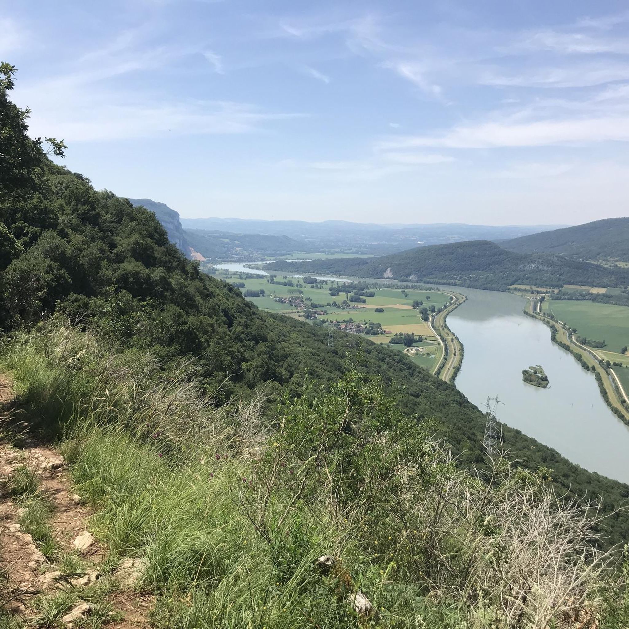
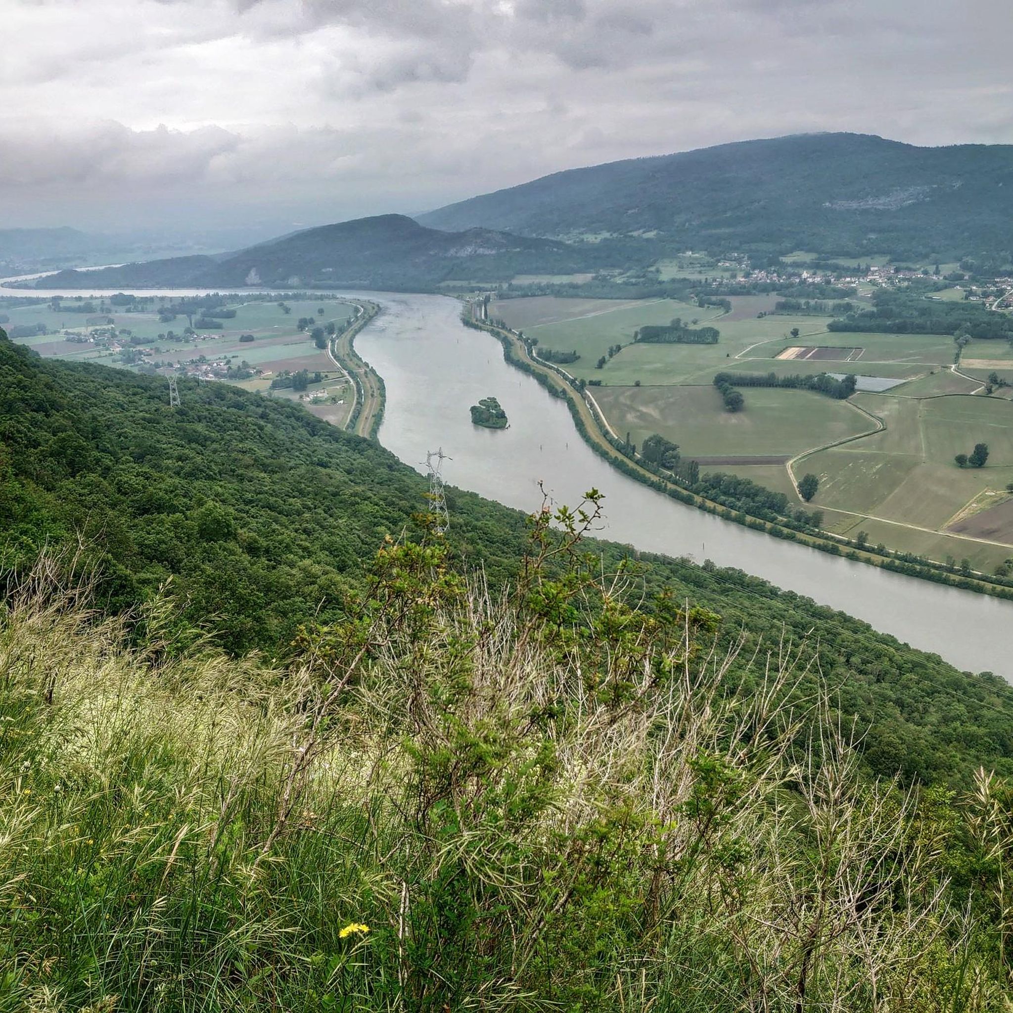
Road cycling routes around Traize navigate a landscape characterized by river valleys, such as the Rhone, and notable mountain passes like the Col du Chat and Crusille Pass. The region features varied terrain, from rolling hills to more challenging ascents, with elevations reaching over 1800 meters. Road cyclists can expect routes that traverse both open countryside and areas near lakes.
Best road cycling routes around Traize
- The most popular road cycling route is Beautiful view of the Rhone – Caron…
Last updated: May 11, 2026
4.6
(16)
367
riders
43.4km
01:58
410m
410m
Moderate road ride. Good fitness required. Mostly well-paved surfaces and easy to ride.
4.4
(7)
125
riders
56.6km
02:35
330m
330m
Moderate road ride. Good fitness required. Some segments of this route may be unpaved and difficult to ride.

Sign up for free
4.0
(1)
54
riders
51.1km
02:24
640m
640m
Moderate road ride. Good fitness required. Some segments of this route may be unpaved and difficult to ride.
3.0
(1)
55
riders
69.8km
04:19
1,890m
1,890m
Hard road ride. Very good fitness required. Mostly well-paved surfaces and easy to ride.
5.0
(2)
31
riders
36.1km
02:22
1,070m
1,070m
Hard road ride. Very good fitness required. Mostly well-paved surfaces and easy to ride.
Get access to more routes and recommendations from other explorers.
Sign up for free
Already have an account?
Our route recommendations are based on thousands of hikes, rides, and runs completed by other people on komoot.
Start today with a free account
Your next adventure awaits.
Login or Signup


Tips from the Community

Here is the route for the ascent of the Col de la Crusille starting from Saint-Genix-sur-Guiers
1
0
Here is the route for the ascent of the Col de la Crusille starting from Novalaise
1
0

It's a must-see place with a magnificent view of Lake Bourget.
1
0

Magnificent view of Lake Bourget
1
0
Beautiful beach with children's playground, picnic tables, and swimming available. The Via Rhôna runs alongside it.
1
0

Good refueling before climbing the relay!
1
0
View from near the top ofCol de L'Épine.
1
0

Here again, another view of Lac du Bourget and the mountains near and far.
0
0
Frequently Asked Questions
How many road cycling routes are available around Traize?
There are over 120 road cycling routes around Traize, offering a wide range of options for different skill levels and preferences.
What are the difficulty levels for road cycling routes in Traize?
The routes in Traize cater to all abilities. You'll find approximately 9 easy routes, over 60 moderate routes, and around 50 difficult routes, including those with significant mountain pass climbs.
What do other road cyclists say about the routes in Traize?
The road cycling routes in Traize are highly rated by the komoot community, with an average score of 4.2 stars from over 150 reviews. Cyclists often praise the varied terrain, from river valleys to challenging mountain passes, and the scenic views.
Are there any circular road cycling routes around Traize?
Yes, many of the road cycling routes around Traize are designed as loops. For example, the Beautiful view of the Rhone – Caron loop from Virignin and the Crusille Pass (573 m) – Virignin footbridge loop from Peyrieu are popular circular options.
When is the best time of year for road cycling in Traize?
Given the presence of mountain passes like the Col du Chat and Crusille Pass, the warmer months from late spring to early autumn are generally ideal for road cycling in Traize. During this period, you can expect more favorable weather conditions for tackling ascents and enjoying the scenic views.
What natural sights can I see while road cycling near Traize?
While cycling near Traize, you can encounter several natural monuments. Notable sights include the beautiful Glandieu Waterfall, the unique rock formation of La Roche Percée, and the impressive Rochefort Cliffs.
Are there any notable landmarks or points of interest along the road cycling routes?
Absolutely. You can cycle past the significant Col du Chat (638 m), cross the Virignin footbridge, or enjoy views of Lake Bourget. The ViaRhôna Cycle Path also runs along the Rhône near Brens, offering a dedicated cycling experience.
Can I find routes with scenic viewpoints in the Traize area?
Yes, the region offers routes with excellent viewpoints. For instance, the Pierre Nioule provides stunning views of Lake Bourget and Aix-les-Bains, and you can also find scenic spots like the View of the Balme bridge.
Are there challenging road cycling routes with significant climbs in Traize?
For experienced cyclists seeking a challenge, Traize offers routes with substantial ascents. The Col du Chat (638 m) – Virignin footbridge loop from Peyrieu, for example, involves over 1800 meters of elevation gain, making it a demanding ride. Another difficult option is the Col de Fay – Lac d'Ambléon loop from Peyrieu, which covers nearly 100 km with over 1500 meters of climbing.
Are there easier road cycling routes suitable for beginners in Traize?
While the region is known for its varied terrain, there are easier options. Look for routes categorized as 'easy' or 'moderate' that stick to flatter sections along river valleys. The Beautiful view of the Rhone – Caron loop from Virignin is a moderate route with less elevation gain, offering a good starting point.
Are there family-friendly road cycling options around Traize?
For families, it's best to choose the 'easy' or 'moderate' graded routes, particularly those that follow river valleys or dedicated cycle paths like sections of the ViaRhôna Cycle Path. These routes typically have gentler gradients and are more suitable for a relaxed pace.
Where can I find parking for road cycling routes in Traize?
Many routes start from towns or villages like Virignin or Peyrieu, where public parking is generally available. It's advisable to check specific starting points for designated parking areas when planning your ride.
Most popular attractions around Traize

Get inspired with the komoot mobile app


Explore more
Browse the best Road cycling routes in other regions.
