Top 7 Mountain Passes around La Chapelle-Saint-Martin
Best mountain passes around La Chapelle-Saint-Martin are found in the broader Savoie department, as the commune itself is characterized by a low elevation ranging from 315 to 521 meters. La Chapelle-Saint-Martin offers a tranquil, pastoral, and forested environment. While the immediate vicinity does not feature notable mountain passes, the region provides access to various routes in higher elevations. Visitors seeking mountain passes will need to venture outside the commune to the more elevated parts of Savoie.
Best mountain passes around…
Last updated: June 26, 2026
Col du Chat (638 m)
Highlight • Mountain Pass
Translated by Google •
Tip by

Épine Pass
Highlight • Summit
The pass is closed in winter
Translated by Google •
Tip by

Sign up now to discover places like this
Get recommendations on the best single tracks, peaks, & plenty of other exciting outdoor places.
Sign up for free
Col du Banchet
Highlight • Mountain Pass
Translated by Google •
Tip by

Col de la Lattaz (754 m)
Highlight • Mountain Pass
Translated by Google •
Tip by

Crusille Pass (573 m)
Highlight • Mountain Pass
Translated by Google •
Tip by

Sign up for free to discover even more mountain passes around La Chapelle-Saint-Martin.
Sign up for free
Already have an account?
Start today with a free account
Your next adventure awaits.
Login or Signup
Popular around La Chapelle-Saint-Martin
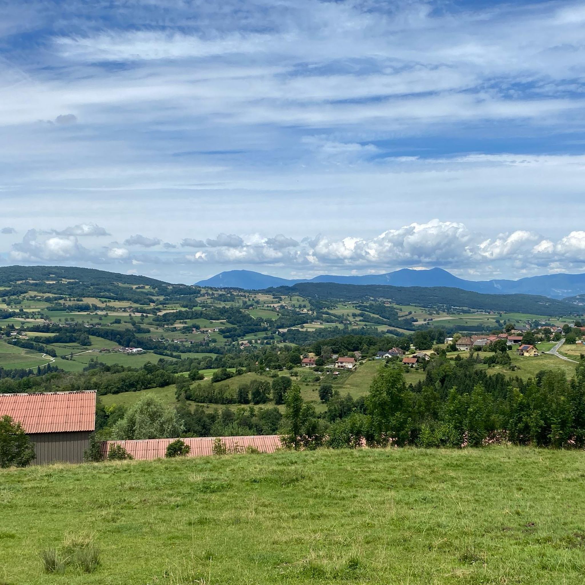
Cycling around La Chapelle-Saint-Martin
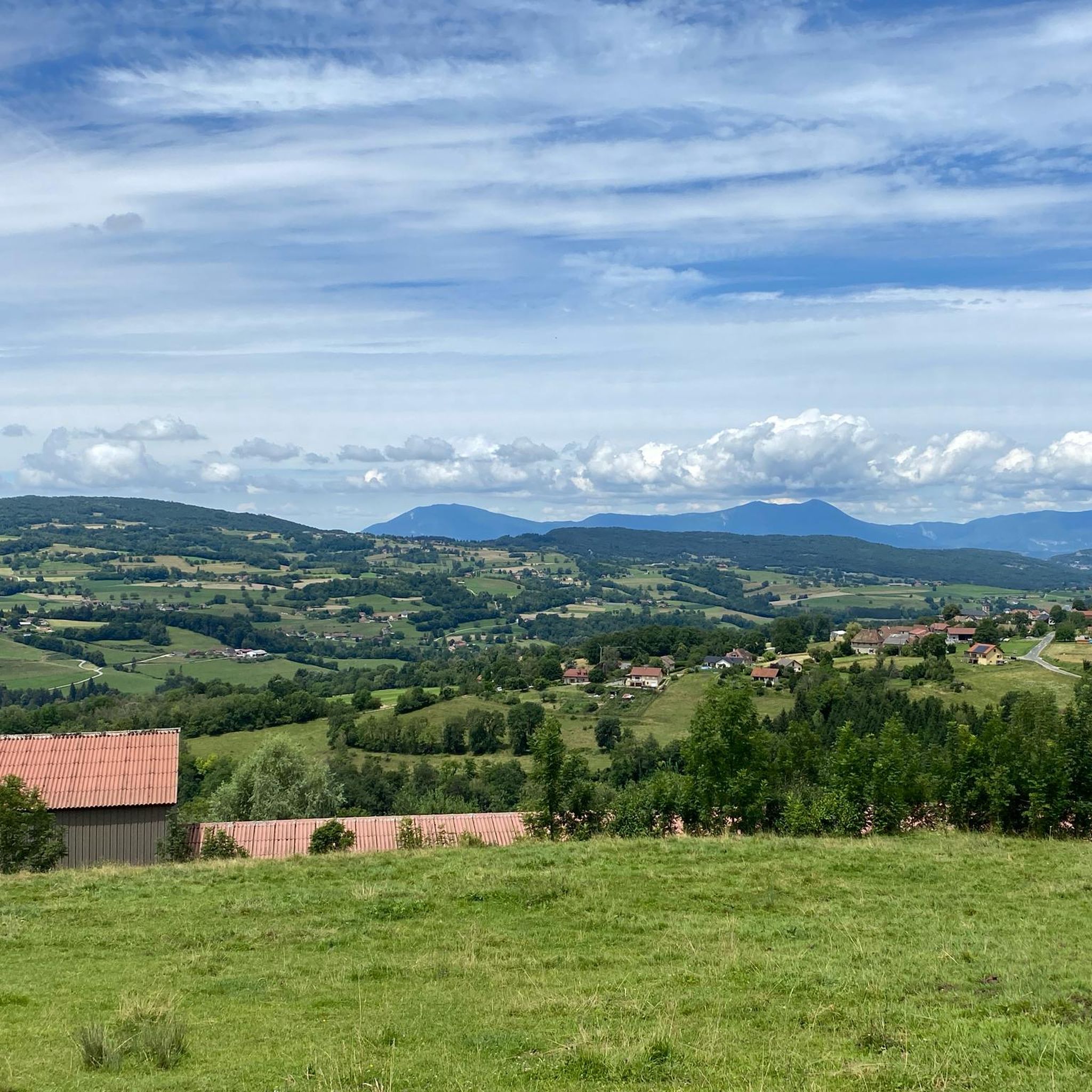
Road Cycling Routes around La Chapelle-Saint-Martin
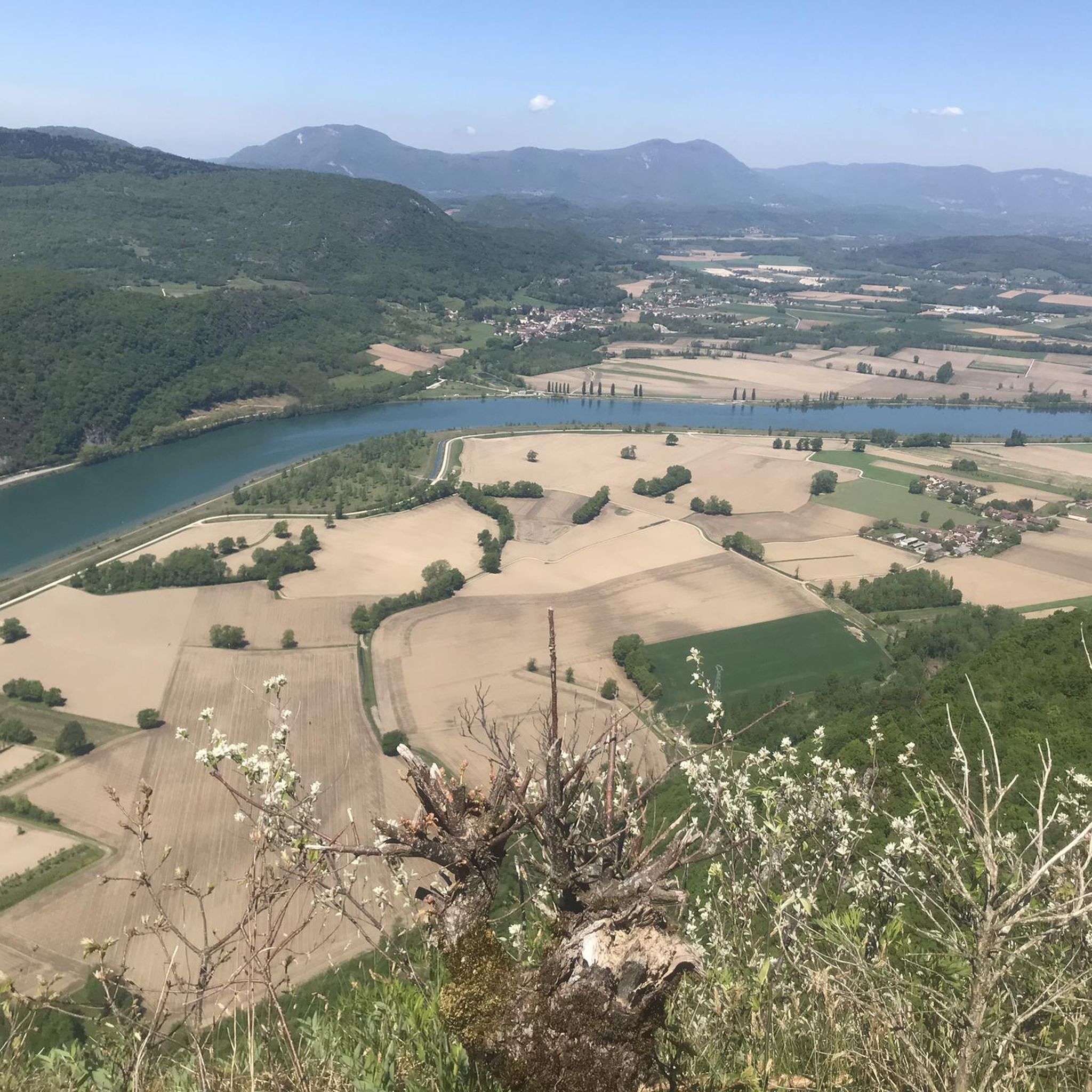
MTB Trails around La Chapelle-Saint-Martin
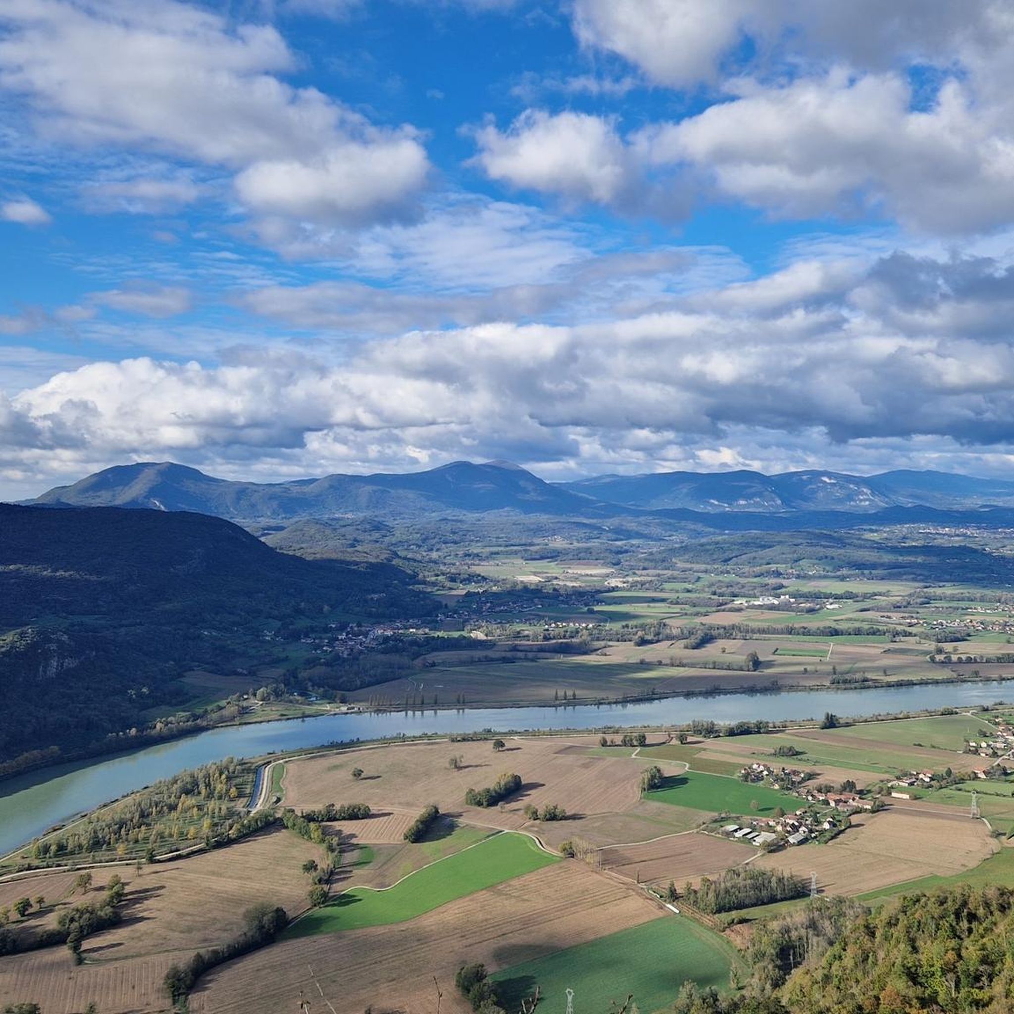
Hiking around La Chapelle-Saint-Martin

Gravel biking around La Chapelle-Saint-Martin
Running Trails around La Chapelle-Saint-Martin

Mountain Hikes around La Chapelle-Saint-Martin
Tips from the Community

It's a must-see place with a magnificent view of Lake Bourget.
1
0


A very quiet and pleasant road. On the Chambéry side, a good part is in the shade, the slope of the main road is rather constant around 7-8%. On the Novalaise side, the mineral aspect with the cliff is more present in the middle of the climb. This side is quite steep with kilometers at 8-9%. On each side, 1 belvedere offers a breathtaking view of Lake Aiguebelette (approx. 2 km from the summit) and on the other side of Chambéry, the Bauges, Belledonne, the Chartreuse (500 m from the summit). The summit is in the forest.
1
0

Leaving from Chambery, the beginning hurts a little, but the rest is quite good
0
1

There is a mistake about the valleys!
2
0


Pass without too much traffic. Quite steep start to reach Saint Sulpice, the rest is rather regular. The pass is closed in winter
2
0

Unmissable “road cycling” of the Col de l'Épine located at an altitude of 990 m.
1
0
Frequently Asked Questions
Are there mountain passes directly within La Chapelle-Saint-Martin?
No, La Chapelle-Saint-Martin is situated at a relatively low elevation, ranging from 315 to 521 meters, and is characterized by a tranquil, pastoral, and forested environment. Notable mountain passes are found in the broader Savoie department, requiring visitors to venture outside the commune to higher elevations.
Which are the most popular mountain passes near La Chapelle-Saint-Martin?
Among the most appreciated passes in the broader region are Col du Chat (638 m), known for its lake views during the ascent, and Épine Pass (987 m), which offers expansive views of Chambéry and Lake Bourget. Visitors also enjoy the fairly rolling Crusille Pass (573 m).
What kind of views can I expect from the mountain passes in the Savoie department near La Chapelle-Saint-Martin?
Many passes offer stunning panoramic views. For instance, Col du Chat provides fantastic views of the lake below during the ascent. From Épine Pass, you can see Chambéry, the south of Lake Bourget, the Bauges massif, and Lake Aiguebelette.
What is the best time to visit the mountain passes in the region?
The best time to visit is generally during the warmer months. Some passes, like Épine Pass, are closed in winter due to snow and ice conditions. Visiting in spring or autumn can offer pleasant temperatures and beautiful scenery.
Are there easy or beginner-friendly mountain passes for cycling or hiking?
Yes, there are options for varying skill levels. Crusille Pass (573 m) is described as a fairly rolling pass, making it pleasant for cycling, especially in the morning. Col du Banchet is noted as a small, shaded pass without significant difficulty, though it does have a fairly steep passage on its first part from Rochefort.
What outdoor activities can I do near these mountain passes?
The region around La Chapelle-Saint-Martin offers various outdoor activities. You can find numerous hiking trails, such as the 'Recorba Viewpoint – Mount Tournier loop' or 'Cave with Creek – Recorba Viewpoint loop'. For road cycling, routes like 'Galerie du Chat – Port of Bourget-du-Lac loop' and 'View of Lac du Bourget – Col du Chat loop' are popular. Explore more options on the hiking, road cycling, and running guide pages for the area.
Are there specific hiking trails associated with these mountain passes?
While the passes themselves are often traversed by roads, the surrounding areas offer hiking opportunities. For example, the Col du Banchet has small mountain bike trails leading to La Crusille. You can find various hiking routes in the broader region, including moderate trails like the 'Col du Mont Tournier (851 m) loop from Saint-Maurice-de-Rotherens'. More details are available on the hiking guide page.
What do visitors enjoy most about the mountain passes in this area?
Visitors frequently highlight the scenic beauty and the rewarding views after an ascent. The ascent of Col du Chat, for instance, is praised for its fantastic lake views. The tranquility and the varied terrain suitable for both cycling and hiking are also highly appreciated by the komoot community.
What is the elevation and difficulty of passes like Col de la Lattaz?
Col de la Lattaz is located at an altitude of 754 meters. It involves a climb of 2.7 kilometers with an elevation gain of 181 meters, averaging a gradient of 6.8%. This makes it an intermediate-level climb.
Can I find accommodation or cafes near the mountain passes?
While specific cafes or accommodations directly at the passes are not detailed, the broader Savoie department and nearby towns offer various options. La Chapelle-Saint-Martin itself is close to other towns and lakes, where you can find services and lodging. It's advisable to check local tourist information for specific amenities along your chosen route.
Are there any passes that offer a good challenge for experienced cyclists?
Yes, while some passes are rolling, others provide a good challenge. The Épine Pass, for example, has a quite steep start to reach Saint Sulpice, with the rest being regular. The region also features more demanding routes, such as those leading to Mont du Chat, which are known for arduous percentages.
Most popular routes around La Chapelle-Saint-Martin
Most popular attractions around La Chapelle-Saint-Martin

Get inspired with the komoot mobile app


Explore more
See even more epic mountain passes by checking out these guides around La Chapelle-Saint-Martin:
