The best running trails around Meyrieux-Trouet
4.5
(272)
18,993
runners
376
runs
Jogging around Meyrieux-Trouet, situated in the Savoie department, offers diverse landscapes for running. The region features lakeside paths along Lake Bourget, challenging mountain passes such as Col du Chat, and extensive trail networks within the Massif des Bauges and Chartreuse regional natural parks. River paths along the ViaRhôna also provide scenic running opportunities. This varied terrain includes both flat routes and demanding ascents.
Best jogging routes around Meyrieux-Trouet
- The most popular jogging route is Molard Noir loop from Le Bourget-du-Lac…
Last updated: July 1, 2026
214
runners
13.4km
02:12
920m
920m
Hard run. Very good fitness required. Sure-footedness, sturdy shoes and alpine experience required.
74
runners
3.98km
00:37
180m
180m
Hard run. Good fitness required. Sure-footedness, sturdy shoes and alpine experience required.

Sign up for free
54
runners
Hard run. Very good fitness required. Sure-footedness, sturdy shoes and alpine experience required.
5.0
(1)
17
runners
12.5km
01:46
280m
280m
Hard run. Good fitness required. Sure-footedness, sturdy shoes and alpine experience required.
9
runners
6.57km
00:42
110m
110m
Moderate run. Good fitness required. Mostly paved surfaces. Suitable for all skill levels.
Get access to more routes and recommendations from other explorers.
Sign up for free
Already have an account?
Our route recommendations are based on thousands of hikes, rides, and runs completed by other people on komoot.
Start today with a free account
Your next adventure awaits.
Login or Signup


Tips from the Community

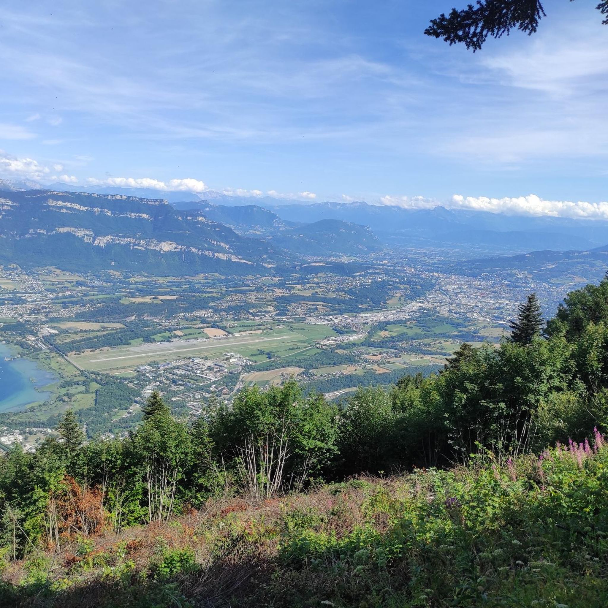
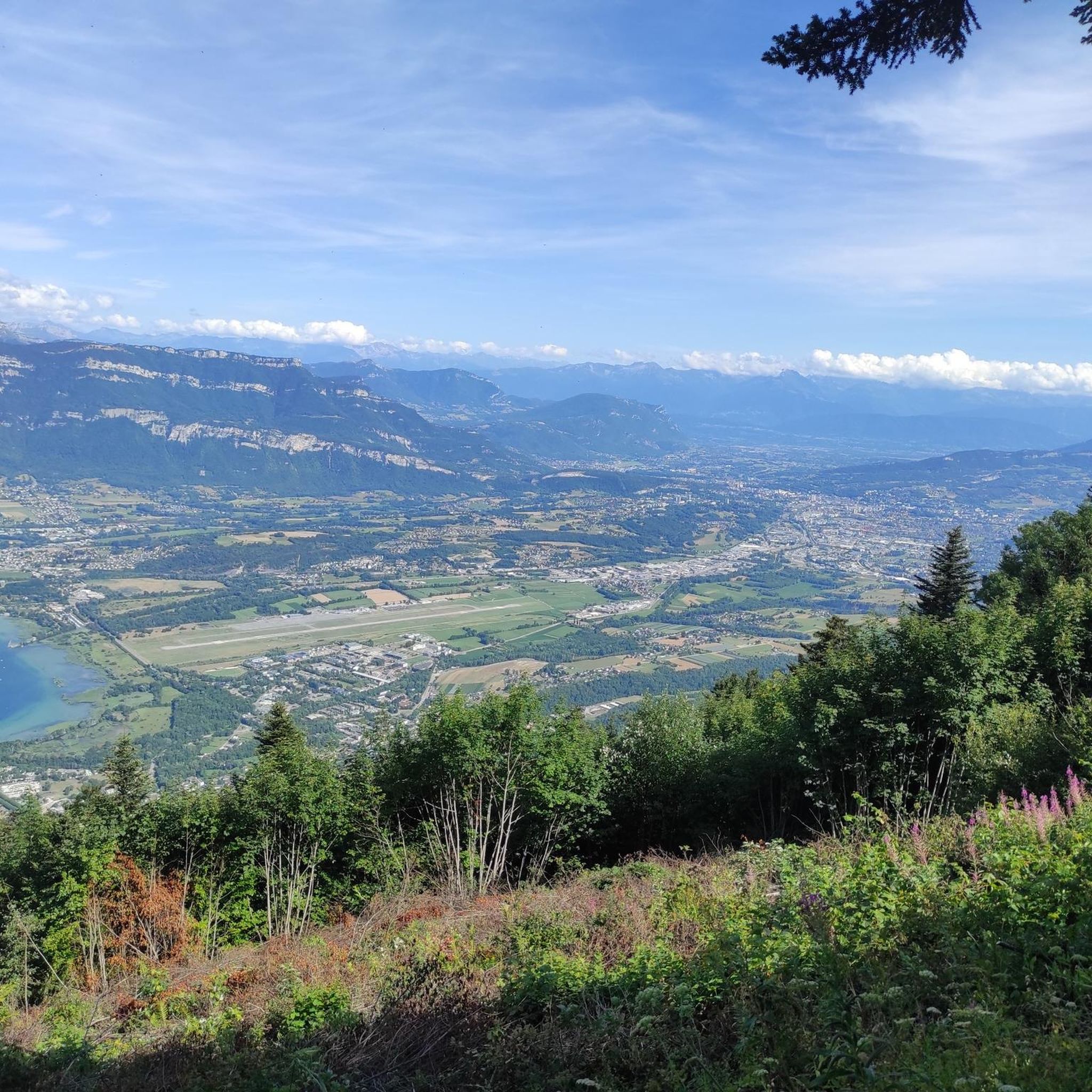
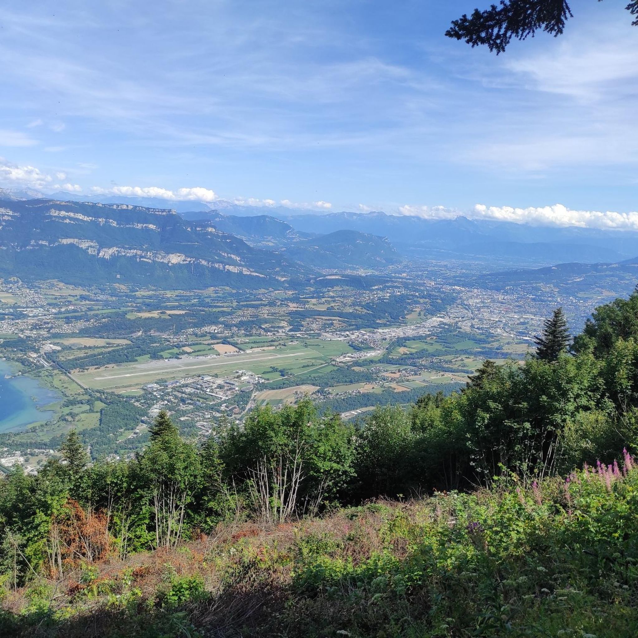
Panoramic view, over the Savoyard pre-Alps, the lake, the Dent du Chat, le Revard, Croix du Nivollet and in clear weather even as far as Mont Blanc! The route does not require any particular physical condition but requires vigilance to place your feet well in order to avoid rocks and roots on the path.
0
0


Beautiful view of the lake.
0
0

A pass and a viewpoint that is worth it. Very little respite, mostly 10-11%. 13km of climbing.
0
0

Very difficult summit, 10% average for 12km from Le Bourget du lac, no respite. The view at the top is worth it and in high season there is a restaurant bar for refueling.
3
0
Incredible 360 degree view of Lac du Bourget, Dent du Chat, etc...
0
0
Impressive viewpoint, particularly on the Dent du Chat.
0
0
Frequently Asked Questions
How many running routes are available around Meyrieux-Trouet?
There are over 340 running routes around Meyrieux-Trouet, offering a wide variety of options for different preferences and fitness levels.
Are there running routes suitable for beginners or families with children?
Yes, Meyrieux-Trouet offers around 30 easy running routes. Many of these are found along the flat, picturesque paths near Lake Bourget or sections of the ViaRhôna Cycle Path, which are ideal for a relaxed pace and family outings.
What kind of terrain can I expect on the running trails in Meyrieux-Trouet?
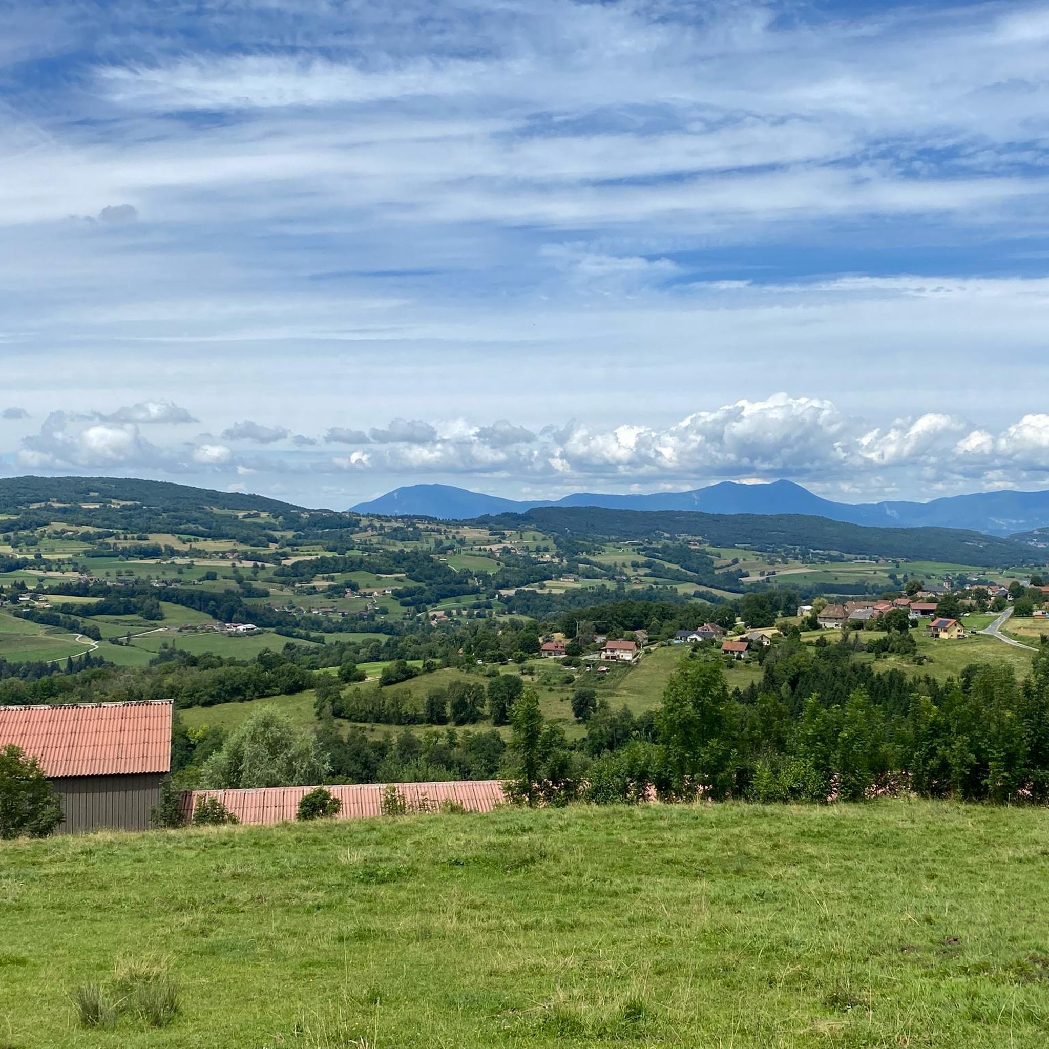
The region boasts diverse terrain, from flat lakeside paths along Lake Bourget to challenging mountain passes like the Col du Chat (638 m) and the Épine Pass. You'll also find extensive trail networks through the preserved natural environments of the Massif des Bauges and Chartreuse regional natural parks, offering varied surfaces from paved paths to forest trails.
Are there any circular running routes in the area?
Yes, many routes around Meyrieux-Trouet are circular. For example, the difficult Molard Noir loop from Le Bourget-du-Lac is a popular circular option, as is the Le Molard Noir – Molard Noir Viewpoint loop from Mont du Chat, which offers a viewpoint.
What are some notable viewpoints or landmarks I can see while running?
Many routes offer stunning views. You can enjoy panoramic vistas of Lake Bourget and Aix-les-Bains from Pierre Nioule. The ascent to the Col du Chat also provides fantastic lake views. For river scenery, the View of the Rhône from Belvédère du Site des Fils is a great spot.
Are there challenging trail running options for experienced runners?
Absolutely. Meyrieux-Trouet is well-suited for experienced trail runners, with over 100 difficult routes. Trails like the Mont du Chat lookout 🐱 – Sentier des cimes Mont du Chat loop from Le Bourget-du-Lac involve significant elevation gain and sustained climbing through wooded areas, leading to prominent viewpoints.
What is the best time of year for jogging in Meyrieux-Trouet?
The region is enjoyable for jogging throughout much of the year. Spring and autumn offer pleasant temperatures and vibrant scenery. Summer is great for early morning or late evening runs, especially along the cooler lakeside paths. Winter running is possible, particularly on lower elevation trails, but higher mountain passes may require appropriate gear or be inaccessible due to snow.
Are there any dog-friendly running trails in Meyrieux-Trouet?
While specific regulations can vary by park or private land, many natural trails in the Massif des Bauges and Chartreuse regional natural parks are generally dog-friendly, especially if your dog is on a leash. Lakeside paths and river paths like the ViaRhôna also often welcome dogs. Always check local signage for specific rules.
Is public transport available to access the running trails?
Access to trails via public transport can be limited in some more remote areas. However, larger towns like Aix-les-Bains and Bourget-Du-Lac, which are starting points for many routes, are generally well-served by local buses. For specific trailheads, it's often advisable to check local bus schedules or consider driving.
Where can I find parking for the running routes?
Parking is typically available at common starting points for routes, especially in villages like Le Bourget-du-Lac or near popular attractions. For example, routes like the Mont du Chat lookout 🐱 – Signal du Mont du Chat loop from Le Bourget-du-Lac often have designated parking areas nearby. It's recommended to check the specific route details for parking information.
What do other runners enjoy most about jogging in Meyrieux-Trouet?
The running routes in Meyrieux-Trouet are highly rated by the komoot community, with an average score of 4.5 stars from over 270 reviews. Runners often praise the stunning natural scenery, the variety of terrain from lakeside to mountain, and the well-maintained paths that offer both challenging ascents and peaceful, scenic runs.
Are there any facilities like cafes or accommodation near the trails?
Yes, you'll find various facilities, especially in towns and villages close to popular running areas. Aix-les-Bains and Bourget-Du-Lac offer numerous cafes, restaurants, and accommodation options. Even smaller villages might have local establishments where you can refuel or stay overnight, enhancing your running experience.
Most popular routes around Meyrieux-Trouet
Most popular attractions around Meyrieux-Trouet

Get inspired with the komoot mobile app


Explore more
Browse the best Running Trails & Routes in other regions.
