The best walks and hikes around Roderen
4.5
(1517)
8,169
hikers
17
hikes
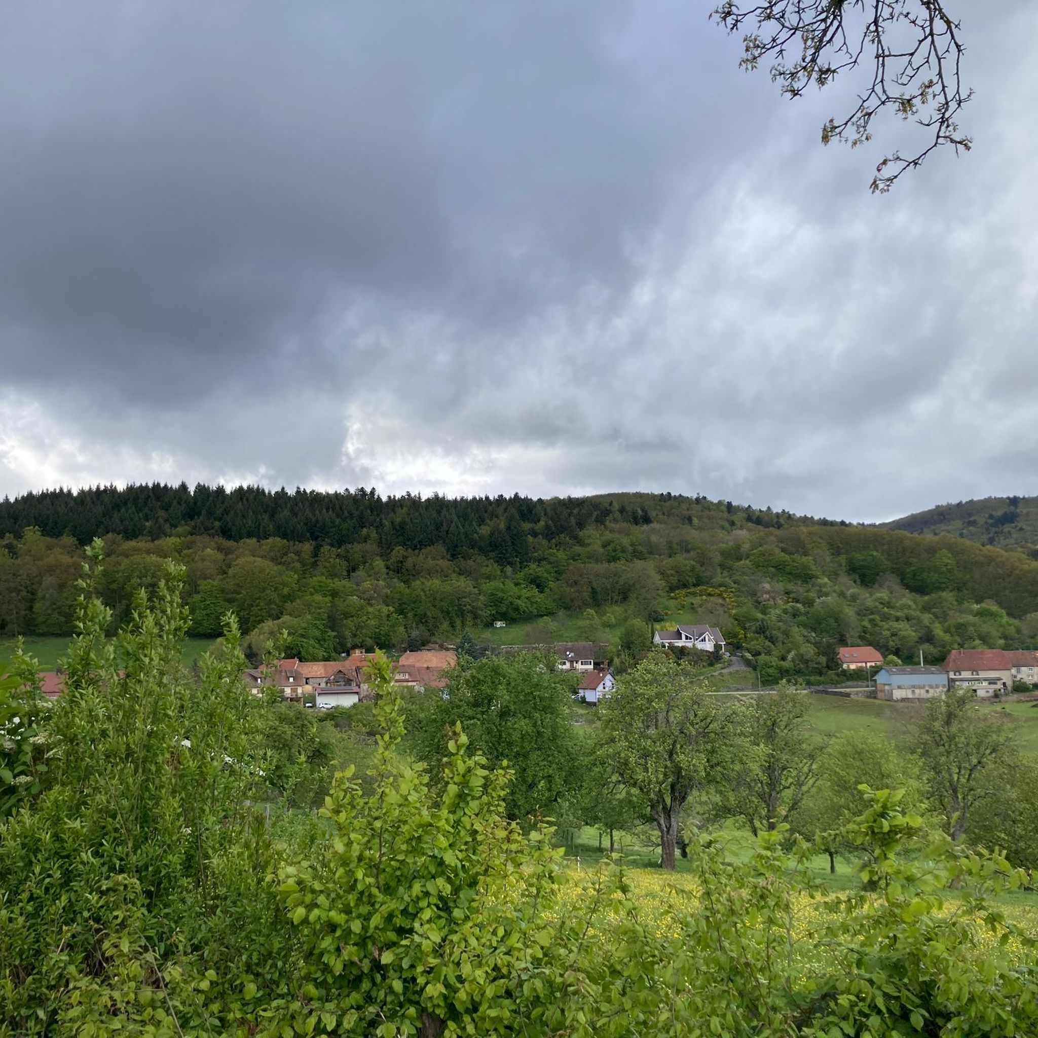
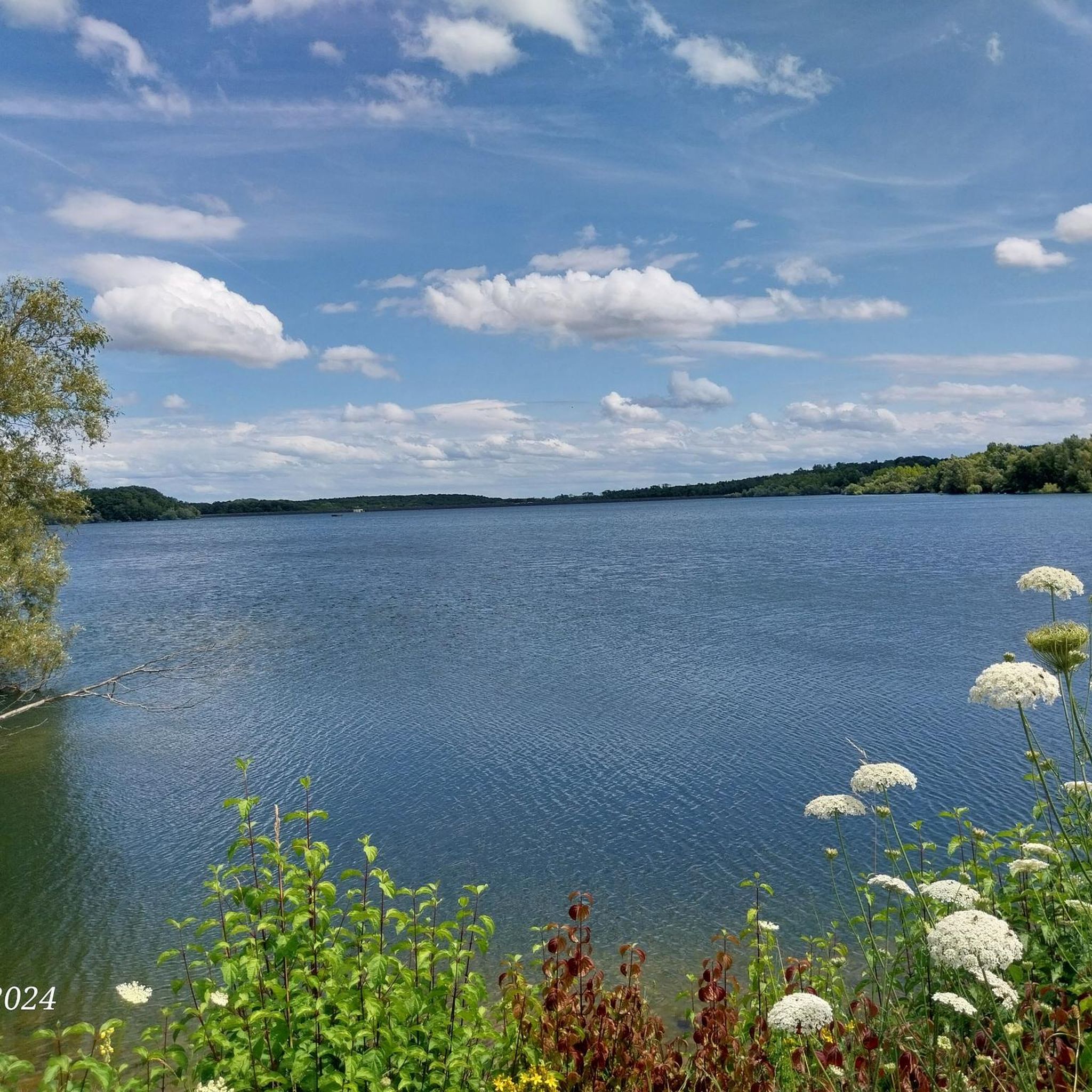
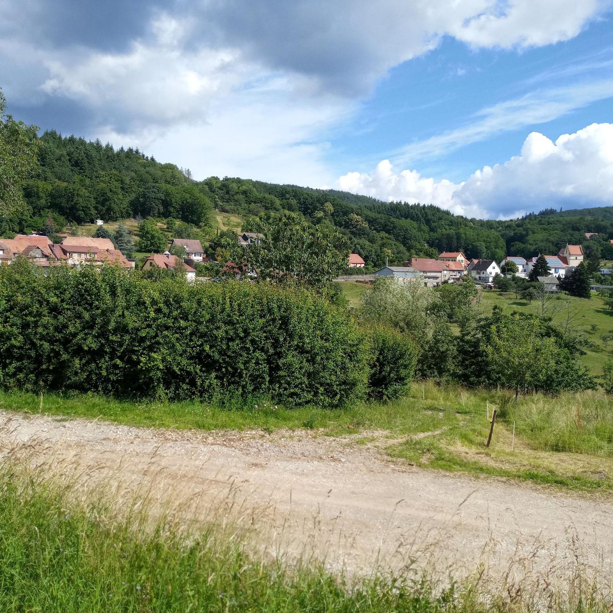
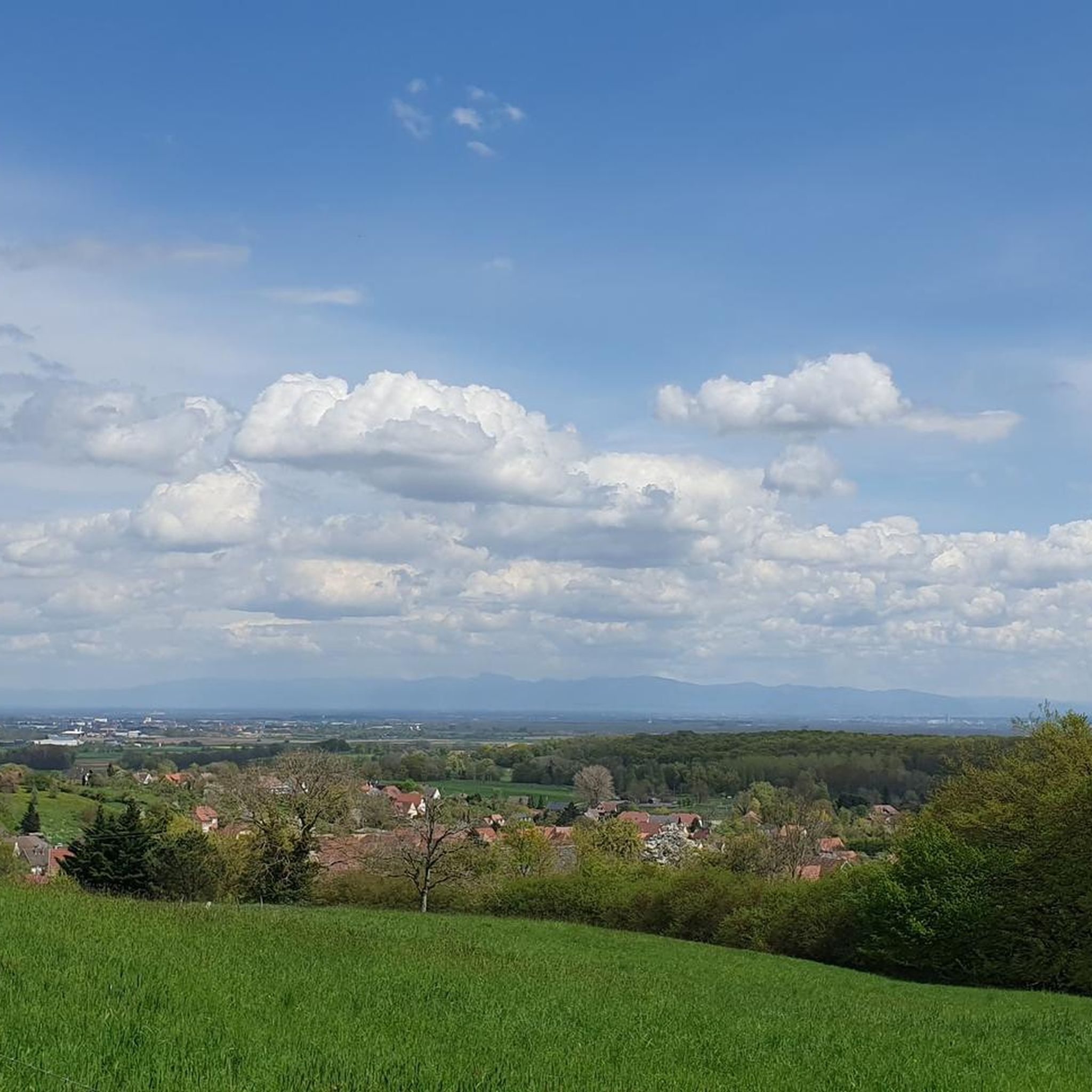
Hiking around Roderen offers a diverse landscape characterized by rolling hills, forested areas, and tranquil water features. The region includes notable elevations such as the Hundsruck Pass and various ridges, providing varied terrain for outdoor activities. Lower areas like Bourbach-le-Bas offer gentler paths, while higher sections present more challenging ascents. This mix of natural features creates a dynamic environment for hikers of all levels.
Best hiking trails in Roderen
- The most popular hiking route is Roderen pond loop from Roderen…
Last updated: June 28, 2026
3.3
(3)
13
hikers
6.32km
01:44
100m
100m
Easy hike. Great for any fitness level. Easily-accessible paths. Suitable for all skill levels.
5.0
(3)
42
hikers
10.5km
03:28
400m
400m
Moderate hike. Good fitness required. Mostly accessible paths. Sure-footedness required.

Sign up for free
5.0
(4)
12
hikers
15.9km
04:56
600m
600m
Moderate hike. Good fitness required. Easily-accessible paths. Suitable for all skill levels.
15
hikers
3.69km
01:00
50m
50m
Easy hike. Great for any fitness level. Easily-accessible paths. Suitable for all skill levels.
5.0
(1)
10
hikers
7.50km
02:08
170m
170m
Moderate hike. Good fitness required. Easily-accessible paths. Suitable for all skill levels.
Get access to more routes and recommendations from other explorers.
Sign up for free
Already have an account?
Our route recommendations are based on thousands of hikes, rides, and runs completed by other people on komoot.
Start today with a free account
Your next adventure awaits.
Login or Signup


Tips from the Community

Pretty chapel on the edge of the forest
0
0

A treat from the Thann Valley. Beautiful asphalt, a clear view of the Grand Balloon 🎈 in the first bends and accessible percentages. Perfect !
3
0

We, the Kemnather Land team, also tortured ourselves like crazy ;-) on our 4-day tour to Lörrach. It was nice!
2
1

The approach from Bitschwiller-lès-Thann has an elevation gain of 400 meters over 6.2 kilometers. A maximum gradient of 13%. But it is relatively uneven, so it is not that easy to ride.
1
2

Nice climb from Bitschwiller, nice road surface and nice profile
3
0

"Torment yourself, you sow!" Udo Bölt's helper is said to have yelled at his team captain Jan Ullrich on this rather second-rate pass at the 1997 Tour de France. It can no longer be determined exactly whether this is exactly the case, but at least the name of the pass "Hundsruck" actually fits the saying quite well and the website quaeldich.de, which has already been mentioned in another comment, also fits this cycling myth quite well.
4
0

to all those who died for France in the ranks of the shock units.
0
0

Very nice asphalt! Nice ascent! Shame about the mediocre view above
3
0
Frequently Asked Questions
What types of hiking trails can I find in Roderen?
Roderen offers a diverse range of hiking trails, from gentle paths around tranquil water features to more challenging ascents in forested hills and along open ridges. You'll find options suitable for various fitness levels, with 9 easy routes and 8 moderate routes available.
Are there any easy or beginner-friendly hikes in Roderen?
Yes, Roderen has several easy trails perfect for beginners or a relaxed stroll. An excellent option is the Roderen pond loop from Roderen, which is 3.9 miles (6.3 km) long and takes about 1 hour 44 minutes to complete. Another gentle path is the Memorial loop from Bourbach-le-Bas, a 2.3-mile (3.7 km) route that can be finished in about an hour.
Can I find circular walks in Roderen?
Many of the trails in Roderen are designed as circular routes, allowing you to start and end at the same point. Examples include the popular Hundsruck Pass – Maria Chapel on the Ridge loop from Roderen, a moderate 9.9-mile (15.9 km) trail, and the shorter Baumann Shelter – Maria Chapel on the Ridge loop from Roderen, which is 6.3 miles (10.1 km).
Are there family-friendly hiking options in Roderen?
For families, the easier, shorter loops are ideal. The Roderen pond loop from Roderen is a great choice, offering a gentle path around a local pond that is manageable for children. The relatively flat terrain and scenic views make it enjoyable for all ages.
What are some notable viewpoints or landmarks to see on hikes in Roderen?
Roderen's trails offer opportunities to discover various points of interest. You can find stunning views from the Viewpoint at the Rehbrunnel shelter. The region also has historical sites such as the Adlerhorst Command Post – World War I and the Veilchenstein German WW1 Bunker, offering a glimpse into the area's past.
Are there any huts or places to stop for refreshments along the trails?
Yes, the Roderen area features several huts and farmhouse inns where you can take a break. Notable spots include the Belacker Farmhouse Inn and the Molkenrain Refuge. These can be excellent places to rest and enjoy the local atmosphere during your hike.
What is the best time of year to hike in Roderen?
The diverse landscape of Roderen, with its forested areas and open ridges, makes it enjoyable across multiple seasons. Spring and autumn offer pleasant temperatures and vibrant foliage, while summer provides longer daylight hours. Even winter can be beautiful, especially on lower-elevation trails, though some higher routes might require more preparation.
What do other hikers enjoy most about hiking in Roderen?
The hiking trails in Roderen are highly rated by the komoot community, with an average score of 4.6 stars from over 1,400 reviews. Hikers frequently praise the varied terrain, from tranquil pond loops to routes with expansive views from the Hundsruck Pass, and the well-maintained paths through forested hills.
Are there any dog-friendly trails in Roderen?
Many trails in Roderen are suitable for hiking with dogs, provided they are kept on a leash and you follow local regulations. The region's natural environment, with its forests and open spaces, offers plenty of opportunities for you and your canine companion to explore. Always ensure to carry water for your dog and clean up after them.
What should I wear for hiking in Roderen?
Given the varied terrain and potential for elevation changes, it's advisable to wear sturdy hiking shoes or boots. Layered clothing is recommended to adapt to changing weather conditions, especially when hiking in higher areas like the Hundsruck Pass. Bringing water, snacks, and sun protection is also wise for any hike in the region.
Are there any historical sites or unique attractions along the trails?
Beyond natural beauty, Roderen's trails lead to interesting historical points. You can explore sites like the Schletzenbourg Mine or the Lower Rehfelsen Tunnels, which offer a glimpse into the area's past. The Memorial – Nieuport 17 Replica in Roderen loop from Bourbach-le-Bas also passes by a unique memorial.
Most popular routes around Roderen
Most popular attractions around Roderen

Get inspired with the komoot mobile app


Explore more
Browse the best Hikes in other regions.
