The best road cycling routes around Bitschweiler
4.3
(565)
19,060
riders
175
rides
Road cycling around Bitschweiler offers diverse terrain, from the flat Thur River valley to the challenging ascents of the Vosges mountains. The region is characterized by forested hillsides and significant elevation changes, with routes climbing from around 357 meters to over 900 meters within short distances. This landscape provides varied road cycling experiences, including routes through vineyards and mountain passes.
Best road cycling routes around Bitschweiler
- The most popular road cycling route is Ballon d'Alsace and Hundsruck Pass Loop,…
Last updated: October 8, 2026
4.8
(38)
1,173
riders
79.0km
04:27
1,690m
1,690m
This difficult 49.1-mile (79.0 km) road cycling loop from Thann Saint-Jacques climbs 5547 feet (1691 metres) to Le Ballon d'Alsace.
4.6
(28)
1,071
riders
87.1km
04:35
1,570m
1,570m
Hard road ride. Very good fitness required. Mostly well-paved surfaces and easy to ride.

4.9
(15)
678
riders
95.5km
05:20
2,030m
2,030m
Hard road ride. Very good fitness required. Mostly well-paved surfaces and easy to ride.
5.0
(9)
274
riders
28.7km
01:51
830m
830m
Moderate road ride. Good fitness required. Some segments of this route may be unpaved and difficult to ride.
4.7
(3)
48
riders
28.0km
01:53
860m
860m
Moderate road ride. Good fitness required. Mostly well-paved surfaces and easy to ride.
Get access to more routes and recommendations from other explorers.
Already have an account?
Our route recommendations are based on thousands of hikes, rides, and runs completed by other people on komoot.
Start today with a free account
Your next adventure awaits.

Tips from the Community

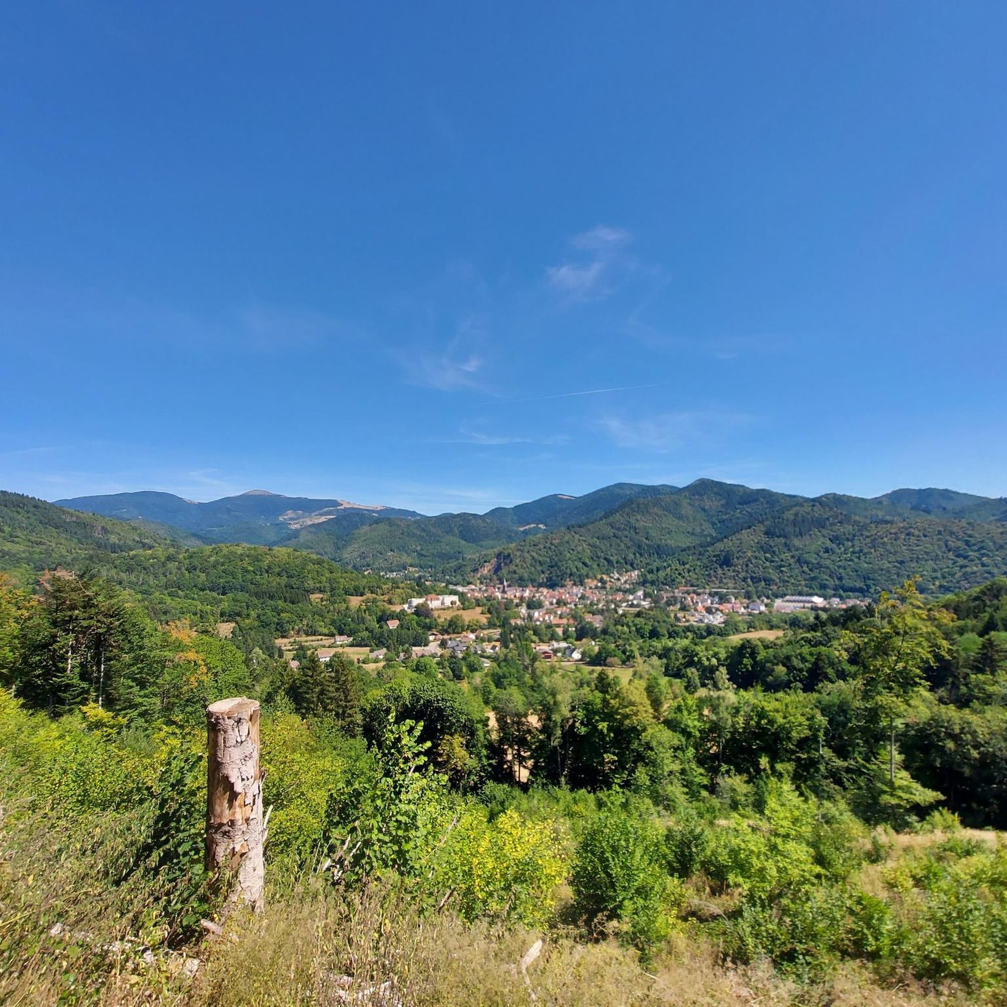
Of the three sides of the Ballon d'Alsace, this is clearly the most difficult (the only one with gradients of 9-10%)... but it is certainly the most beautiful! The hairpin bends at the start of the climb before the Alfeld lake are sublime. The road then evolves along the mountainside, unfortunately no more hairpin bends, this section can seem long for some, the gradient remains between 8 and 9%. It decreases when you reach the Langenberg... you have done the difficult part, there are still 4 km to the top. After that, there is a mix of flat sections and climbs with a natural clearing 1 km from the top, from where you have a panoramic view of the valley.
6
0
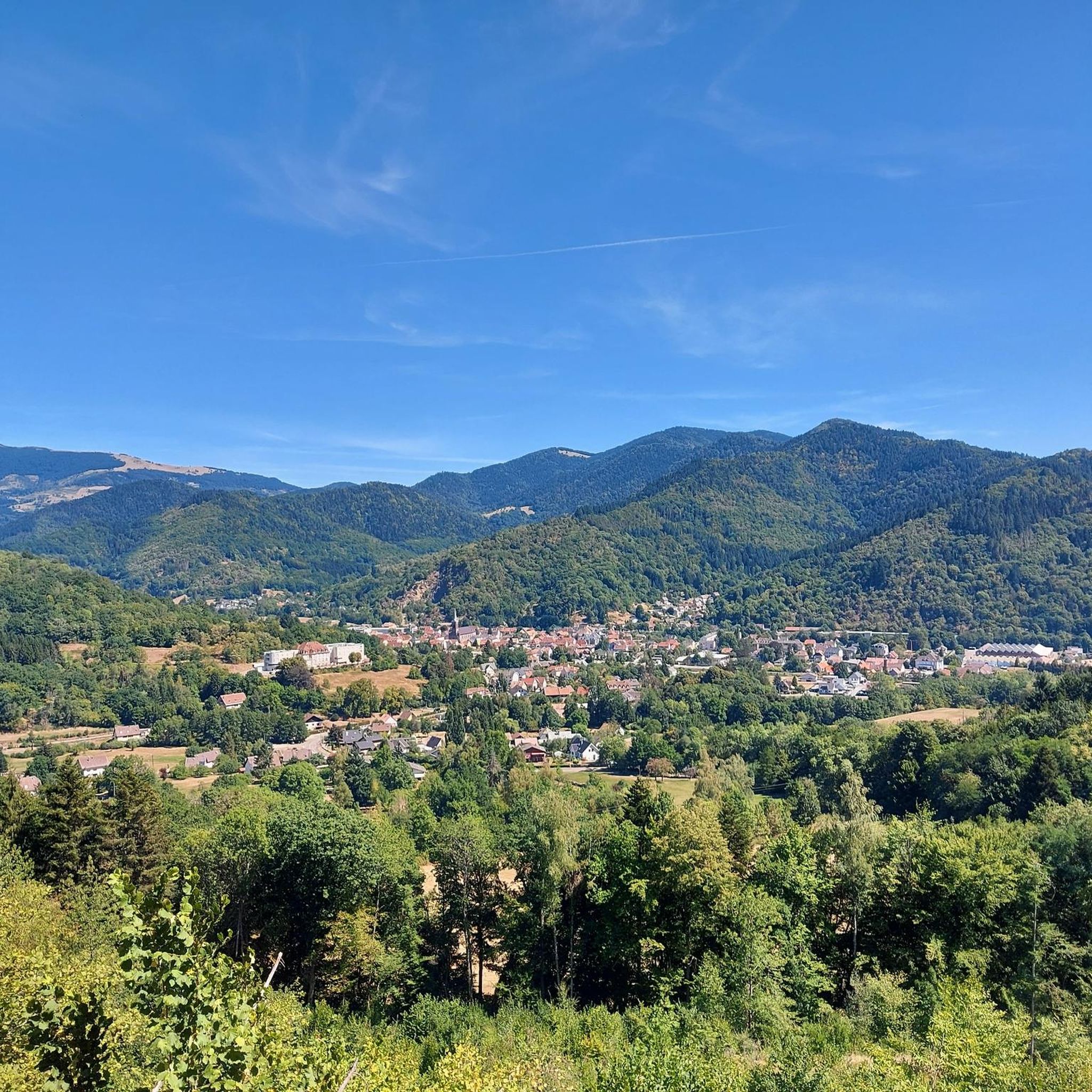
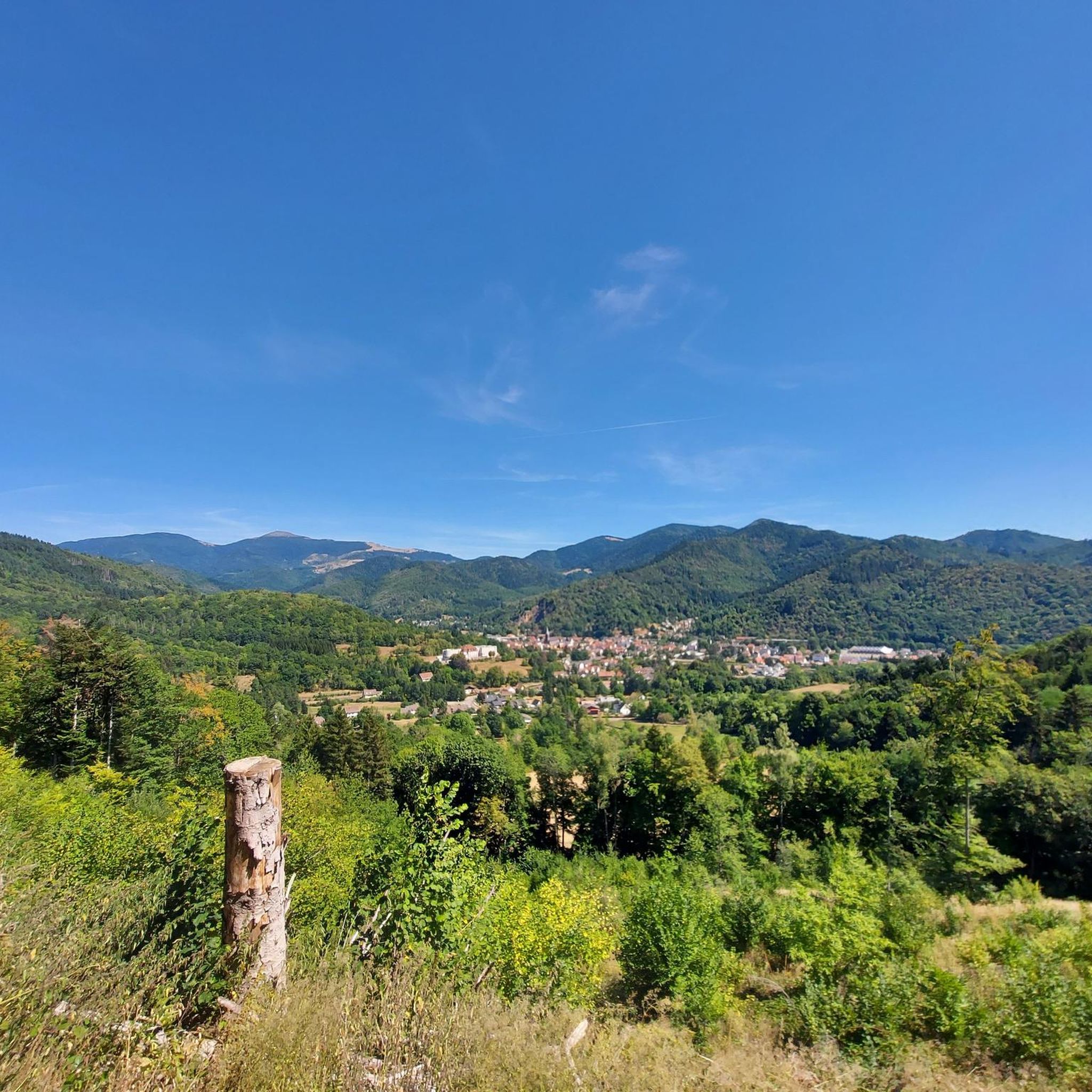
A spectacular hairpin bend on the climb to the Ballon d'Alsace. As the road winds its way up the slope, beautiful views open up over the wooded valley of the Vosges.
6
0
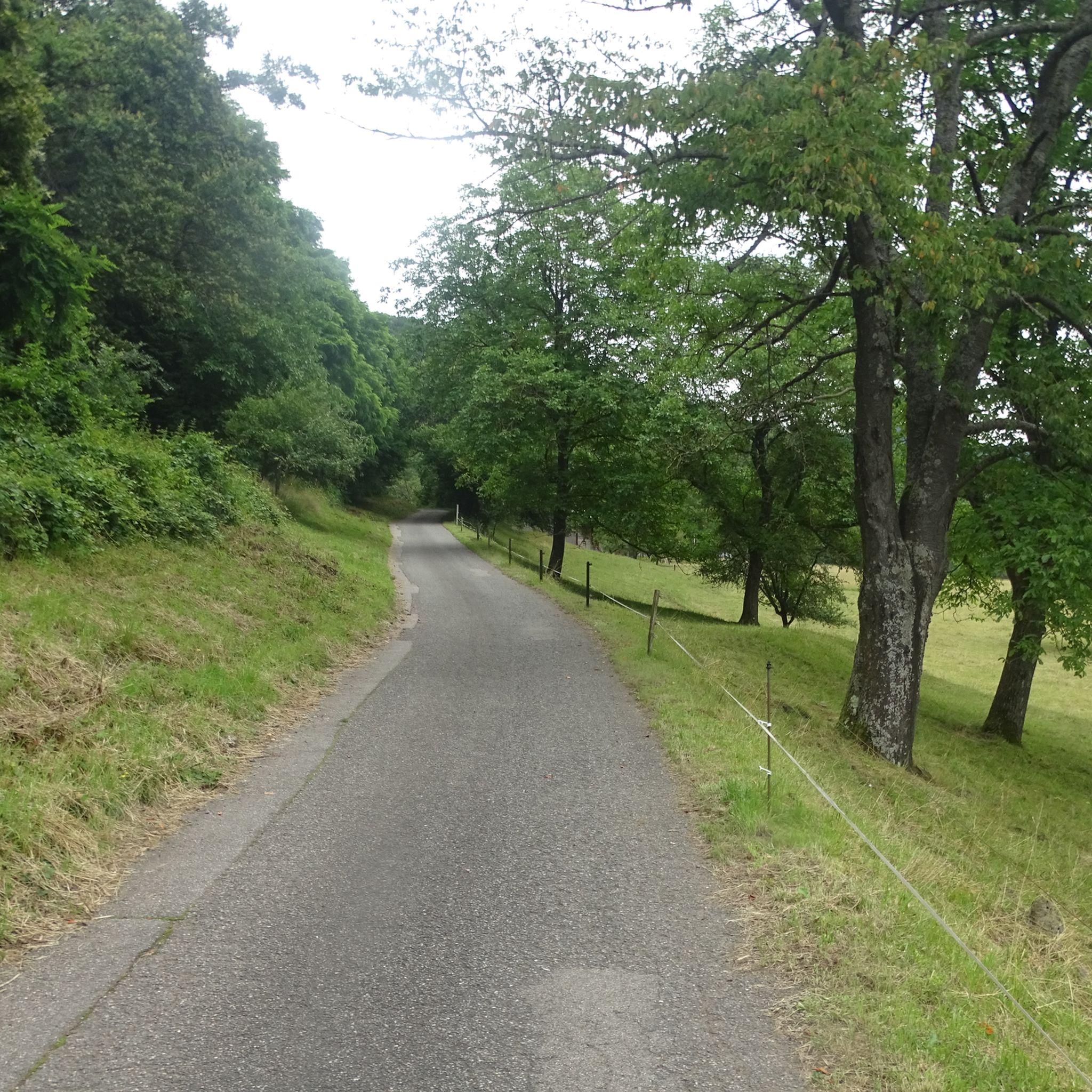
The Col du Hunsrück (748 m) is a quiet and wooded pass above Willer-sur-Thur. The steady climb and beautiful nature make this a pleasant classic in the southern Vosges, with connections to both the Thur and Dollervallei valleys.
6
0
The last hairpin bends on the east side of the Grand Ballon are among the most characteristic passages of the climb. Several bends are paved with natural stone (cobblestones and not setts), a reminder of the historic mountain road. Between the steep slopes and the impressive views, these cobblestone bends form a special approach to the highest peak of the Vosges.
6
0
The bare mountain lends itself to beautiful panoramas.
6
0
When you drive from the Route des Crêtes towards Le Grand Ballon, you pass the Col du Haag (1233 m) almost unnoticed. Yet, this pass marks a special point on the southern flank of the highest mountain in the Vosges. Here, steep roads from the Thurdal leave the wooded slopes and reach the open heights of the massif. From the col, a typical Vosges landscape unfolds with mountain meadows, scattered farms, and sweeping views. The proximity of the Grand Ballon is felt everywhere: the imposing summit towers above the pass and forms the natural goal of the final climbing kilometers. For cyclists, the Col du Haag is mainly known as the point where difficult climbs from the valleys converge before the road continues to rise to the highest point of the Vosges.
6
0

sensational view up to the Alps.
1
0

And on July 18, 2026, the Tour de France came up here. The finish was then in Le Markstein. The stage was won by Tadej Pogacar. He had attacked on this climb in the last two kilometers and no one could follow him.
2
0
Frequently Asked Questions
How many road cycling routes are available around Bitschwiller-lès-Thann?
There are over 170 road cycling routes around Bitschwiller-lès-Thann, offering a wide range of options from easy valley rides to challenging mountain ascents. The komoot community has explored more than 16,300 of these routes.
What kind of terrain can I expect on road cycling routes near Bitschwiller-lès-Thann?
The region offers diverse terrain, from the relatively flat Thur River valley to the challenging ascents of the Vosges mountains. You'll find routes climbing from around 357 meters to over 900 meters within short distances, featuring forested hillsides, vineyards, and mountain passes like the Ballon d'Alsace and Grand Ballon.
Are there easy road cycling routes suitable for beginners or families?
Yes, while the region is known for its challenging mountain passes, the Thur River valley provides flatter, more gentle routes. There are 45 easy routes available, perfect for beginners or those looking for a more relaxed ride. These routes often feature well-paved surfaces, making them enjoyable for road bikes.
Where can I find challenging road cycling routes with significant climbs?
For experienced cyclists seeking strenuous routes, the Vosges mountains offer formidable climbs. Routes like the Ballon d'Alsace and Hundsruck Pass Loop or the Ballon d'Alsace – Rue du Ballon d'Alsace loop from Thann Saint-Jacques feature significant elevation gains, often exceeding 1500 meters, and lead through high mountain passes.
What are some scenic viewpoints or natural attractions along the road cycling routes?
Many routes offer stunning views of the Vosges mountains and the Thur River valley. Notable natural attractions you might encounter include the Grand Ballon, the highest point of the Vosges, and the Ballon Lake. Mountain passes like Markstein and Haag Pass also offer panoramic vistas.
Are there any historical sites or unique landmarks to explore near the cycling paths?
Yes, the area has several historical sites. You can find World War I bunkers and command posts such as Adlerhorst Command Post and Veilchenstein German WW1 Bunker. There are also historical mines like the Schletzenbourg medieval mine, offering a glimpse into the region's past.
What do other road cyclists say about the routes in Bitschwiller-lès-Thann?
The road cycling routes around Bitschwiller-lès-Thann are highly rated by the komoot community, with an average score of 4.4 stars from over 370 reviews. Cyclists often praise the diverse landscapes, from challenging mountain passes to scenic vineyard routes, and the well-maintained roads that cater to all abilities.
Can I find circular road cycling routes in the area?
Yes, many of the routes around Bitschwiller-lès-Thann are designed as loops, allowing you to start and finish in the same location. Examples include the challenging Col du Ballon d'Alsace – Ballon d'Alsace loop from Thann Saint-Jacques and the moderate Amic Pass – Climb to Grand Ballon loop from Willer-sur-Thur.
When is the best time of year for road cycling in Bitschwiller-lès-Thann?
The warmer months, from spring to autumn, are ideal for road cycling. During winter, the higher elevations of the Vosges mountains can experience snowy conditions, making some routes inaccessible or suitable only for winter sports like snowshoeing.
Are there any long-distance road cycling options available?
Yes, the region connects to longer routes. The "Alsace vineyard cycle road," part of the EuroVelo 5 - Via Romea, runs along the foothills of the Vosges Mountains through picturesque vineyards. The final stage of this route ends in Thann, very close to Bitschwiller, offering opportunities for extended rides.
What are the options for moderate difficulty road cycling routes?
For those seeking a balance between challenge and accessibility, there are 102 moderate routes. These often include significant climbs without the extreme distances or elevation gains of the most difficult mountain passes. Routes like the Mosch–Geishaus Climb – Haag Pass loop from Willer-sur-Thur are good examples of moderate options.
Most popular routes around Bitschweiler
Most popular attractions around Bitschweiler

Get inspired with the komoot mobile app


Explore more
Browse the best Road cycling routes in other regions.
