The best mountain hikes around Eygliers
5.0
(7)
63
hikers
1
hike
Mountaineering routes around Eygliers are situated in the Hautes-Alpes region of France, serving as a gateway to the Queyras Regional Natural Park and close to the Écrins National Park. This location provides access to diverse alpine environments, characterized by significant elevation changes, dramatic gorges, and the Durance Valley. The village itself spans from 890 meters to the foothills of the Catinat crest at 2,617 meters, offering varied terrain for high-altitude pursuits.
Best mountaineering routes around Eygliers
- The most popular mountaineering…
Last updated: May 20, 2026
16
hikers
3.72km
01:51
260m
260m
Hard mountaineering route. Great for any fitness level. Sure-footedness, sturdy shoes and alpine experience required.
5.0
(1)
11
hikers
Hard mountaineering route. Very good fitness required. Mostly accessible paths. Sure-footedness required.

Sign up for free
5.0
(2)
10
hikers
19.2km
07:34
980m
990m
Hard mountaineering route. Very good fitness required. Mostly accessible paths. Sure-footedness required.
10
hikers
9.54km
03:14
440m
440m
Moderate mountaineering route. Good fitness required. Mostly accessible paths. Sure-footedness required.
5.0
(2)
6
hikers
8.55km
03:38
540m
540m
Hard mountaineering route. Good fitness required. Sure-footedness, sturdy shoes and alpine experience required.
Our route recommendations are based on thousands of hikes, rides, and runs completed by other people on komoot.
Start today with a free account
Your next adventure awaits.
Login or Signup
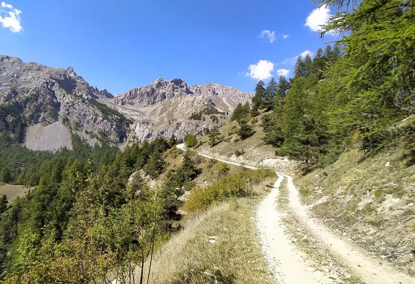
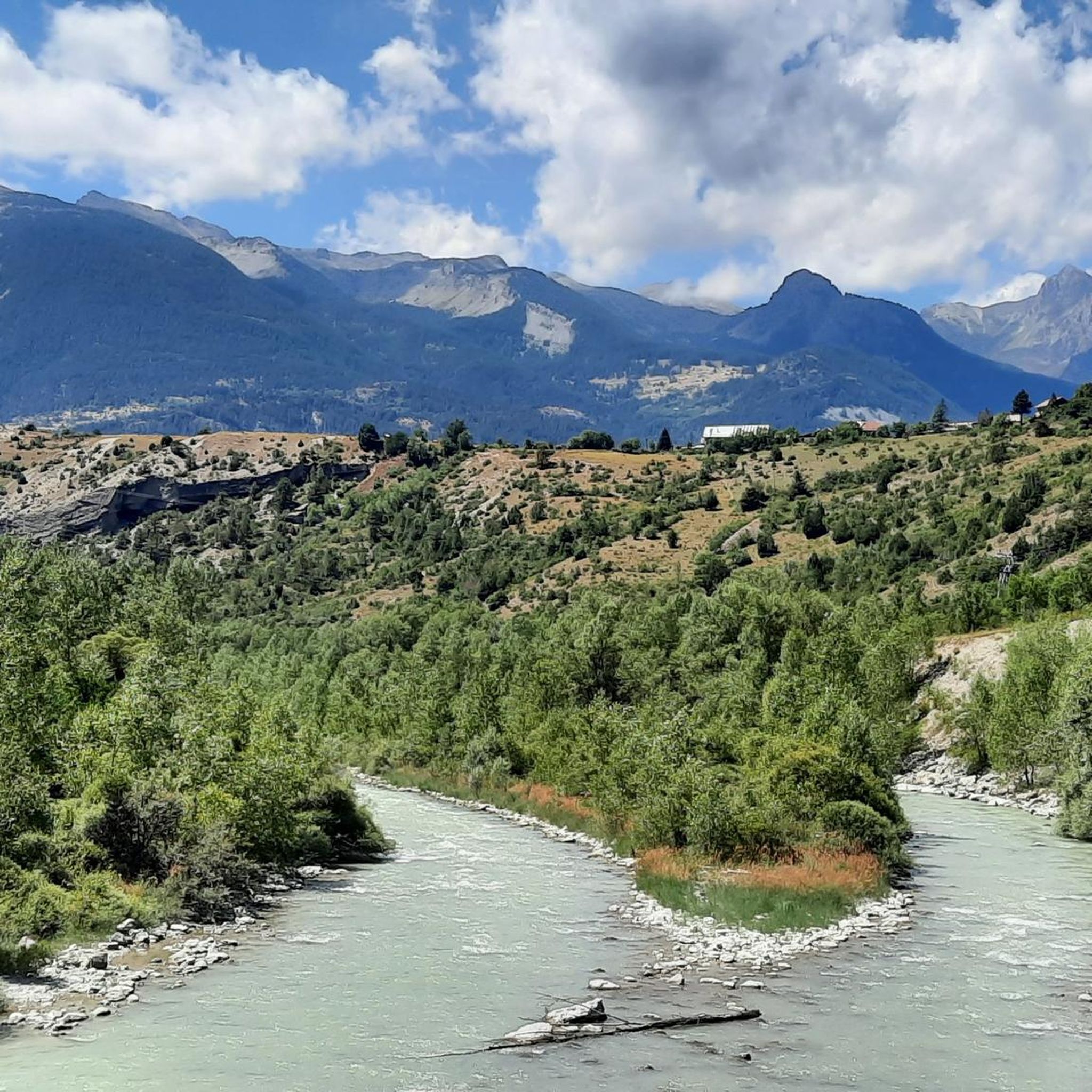
Other adventures around Eygliers

Tips from the Community

This lake is magnificent as are the hikes around it.
0
0

Go to Sainte Anne, it’s well worth the effort.
0
1


The Pisse stream is a pretty torrent in the Queyras massif. The path that goes down into the Mélézet valley allows you to see it up close.
0
0


beautiful walk in a shaded valley. To do in summer when it's hot
0
0
Beautiful view at the highest point!
0
0

El Col Fromage, at a crossroads of trails, is a strategic location in the Queyras Regional Natural Park. To the right of Col Fromage is an old military refuge that offers an interesting stop when it is very hot or very cold. This route is very popular with mountain bikers, it allows you to easily change valleys (go from Château-Queyras to Ceillac), with scenery, without too much difficulty. The most experienced will climb to Col des Estronques via the Travesía.
0
0
Frequently Asked Questions
How many mountaineering routes are available around Eygliers?
There are several mountaineering routes around Eygliers, offering diverse experiences in the Hautes-Alpes region. These routes provide access to the stunning landscapes of the Queyras Regional Natural Park and the nearby Écrins National Park.
What kind of terrain can I expect on mountaineering routes near Eygliers?
Mountaineering routes around Eygliers feature diverse alpine terrain, ranging from dramatic gorges carved by the Guil River to high mountain massifs. You'll encounter significant elevation changes, pristine alpine environments, and views of the Durance Valley. The area itself spans from 890 meters at Eygliers station to the foothills of the Catinat crest at 2,617 meters, offering a broad spectrum of challenges.
Are there any circular mountaineering routes in the Eygliers area?
Yes, several routes are designed as loops, allowing you to start and end at the same point. For example, the Lake Sainte-Anne – Lac Sainte-Anne loop from Massif d'Escreins offers alpine scenery around the lake, while the Le Collet loop from Crête de Combe la Roche provides challenging ascents and ridge views.
What are some of the notable natural attractions or landmarks I might see along these routes?
Mountaineering routes in the Eygliers area often pass by or offer views of significant natural features. You might encounter the dramatic Guil Gorges, the scenic Durance Valley, or tranquil alpine lakes. Specific highlights include Mirror Lake and Lake Roue. The historic Vauban fortifications of Mont-Dauphin also provide a cultural landmark often visible from nearby trails.
Are there options for advanced mountaineers seeking a challenge?
Absolutely. The region, being a gateway to the Écrins and Queyras massifs, offers routes with substantial elevation gain and technical sections. For instance, the Col Fromage (2,301 m) loop from Massif d'Escreins involves nearly 1,000 meters of ascent, providing a significant challenge for experienced mountaineers.
What do other mountaineers enjoy most about the routes in Eygliers?
The mountaineering routes in Eygliers are highly rated by the komoot community, with an average score of 4.9 stars. Reviewers often praise the pristine alpine environments, the dramatic scenery of the gorges and high mountain massifs, and the challenging nature of the ascents. Many appreciate the diverse terrain and the sense of accomplishment after completing these demanding trails.
Can I find routes that feature lakes or potential wild swimming spots?
Yes, the region is dotted with beautiful alpine lakes. The Lake Sainte-Anne – Lac Sainte-Anne loop from Massif d'Escreins takes you around a stunning alpine lake. Another route, Ruisseau de la Pisse – Lac Miroir loop from Massif d'Escreins, leads to Mirror Lake, which could offer opportunities for a refreshing dip in suitable conditions, though always check local regulations and safety advice for wild swimming.
What is the best time of year for mountaineering in Eygliers?
The best time for mountaineering in Eygliers typically spans from late spring to early autumn (June to September) when the high mountain passes are generally clear of snow and weather conditions are more stable. During summer, the Eygliers Lake also becomes a hub for water-based activities, adding to the region's appeal.
Are there any less-trafficked or 'hidden gem' routes for mountaineering near Eygliers?
While specific 'hidden gems' are often discovered through local knowledge, routes like the Chalet de Clapeyto – Clapeyto Alpine Chalets loop from Arvieux, "Jamberoute - Espace Ludique" offer a journey through alpine chalets and high mountain landscapes that provide a sense of remoteness and immersion in nature, away from the most popular spots.
What other outdoor activities are popular in the Eygliers region besides mountaineering?
Eygliers is a hub for various outdoor activities. Beyond mountaineering, the region is renowned for rock climbing, with areas like Ailefroide and Ceüse nearby. Via ferrata routes, canyoning in the Durance Valley, and extensive hiking trails are also very popular. In winter, ski touring is a significant activity across the Queyras and Écrins massifs.
Is public transport available to reach mountaineering trailheads around Eygliers?
While Eygliers has a train station, public transport options directly to specific high-altitude trailheads can be limited. It's advisable to research local bus services or consider carpooling for access to more remote starting points, especially for routes deep within the national parks.
What kind of views can I expect from the summits or high points on these routes?
From higher elevations, you can expect panoramic views of the surrounding Hautes-Alpes landscape, including the majestic Écrins National Park and the Queyras Regional Natural Park. You'll often see dramatic mountain ranges, deep valleys, and potentially distant peaks like Mont Viso. Highlights such as Risoul offer excellent viewpoints.
Most popular routes around Eygliers
Most popular attractions around Eygliers

Get inspired with the komoot mobile app


Explore more
Browse the best Mountain Hikes & Routes in other regions.
