The best cycling routes around Serra-Di-Fiumorbo
4.4
(301)
3,050
riders
71
rides
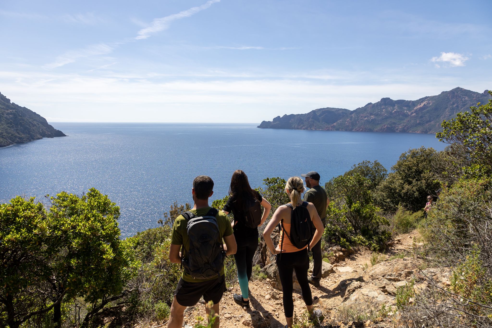
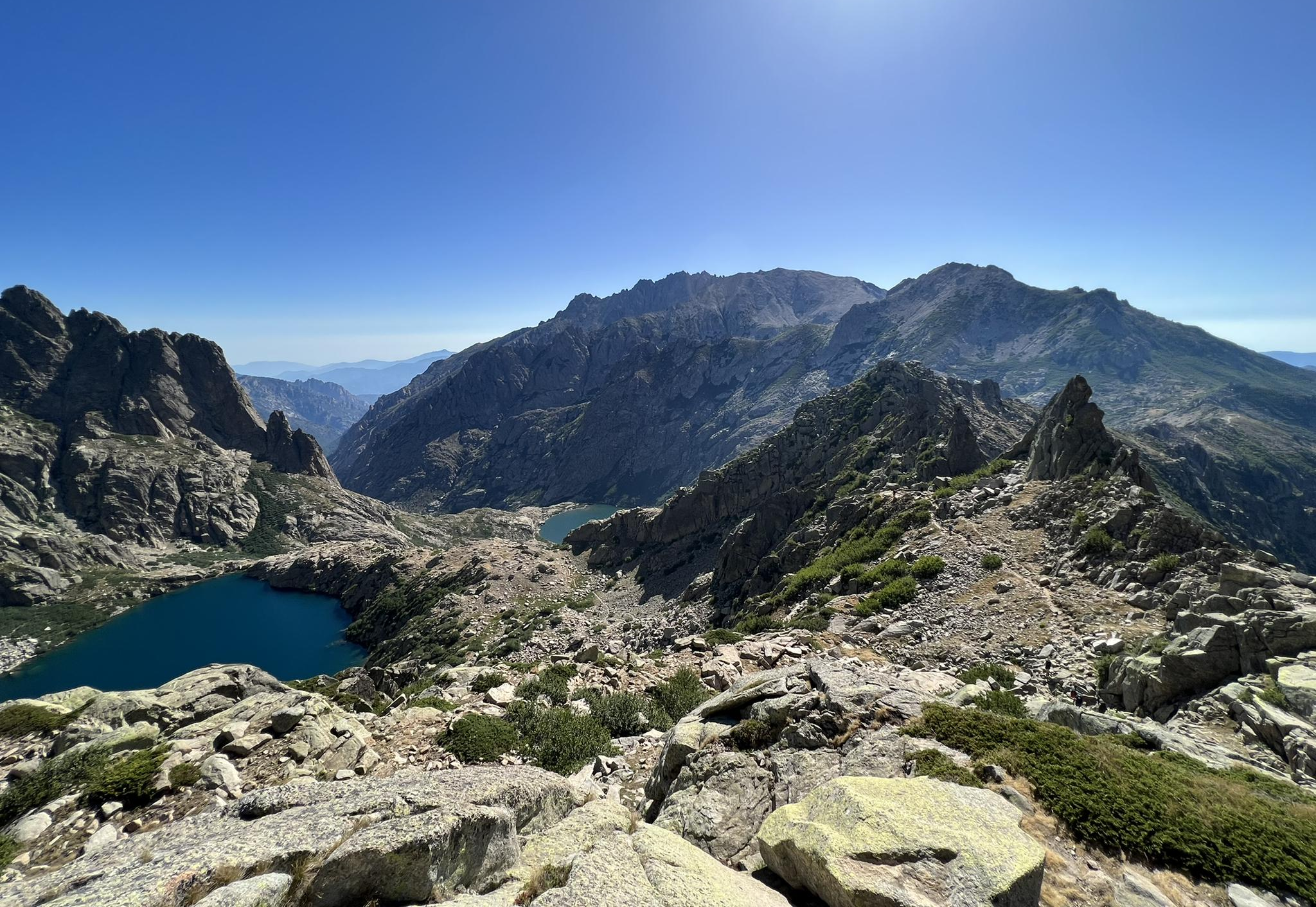
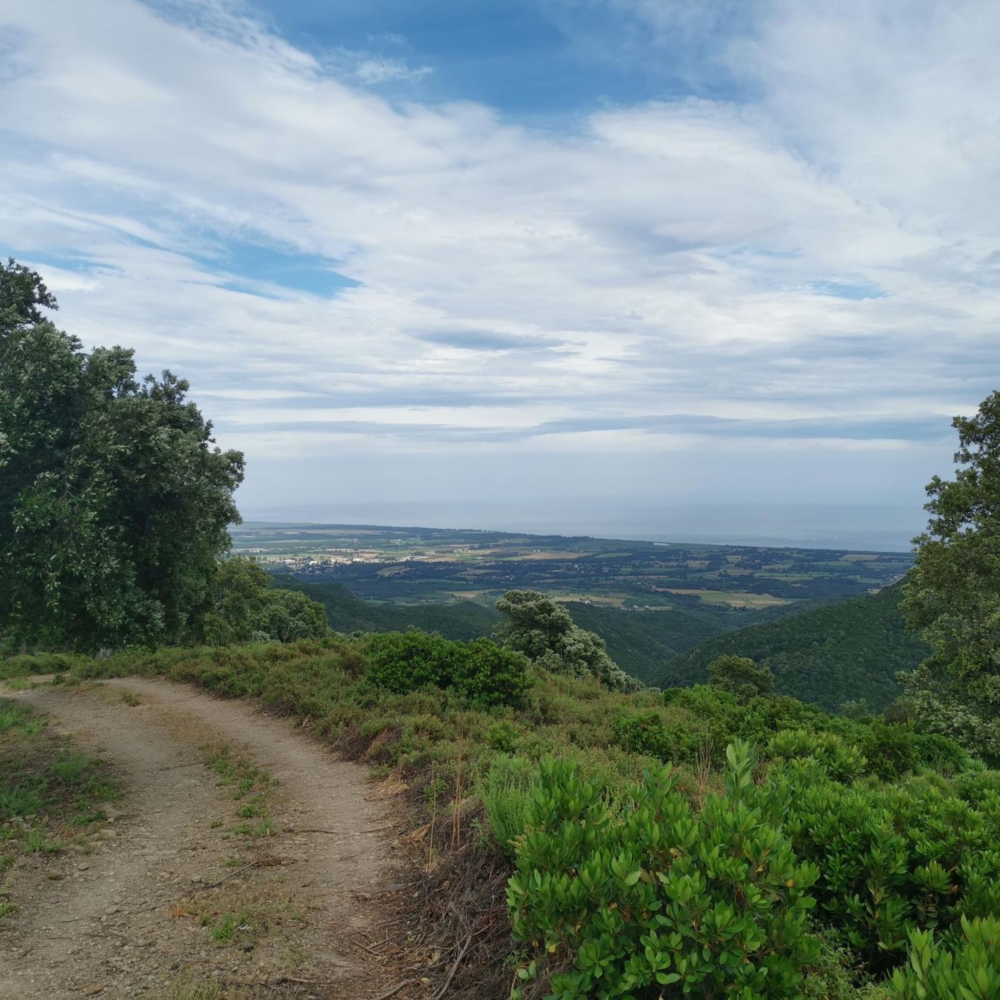
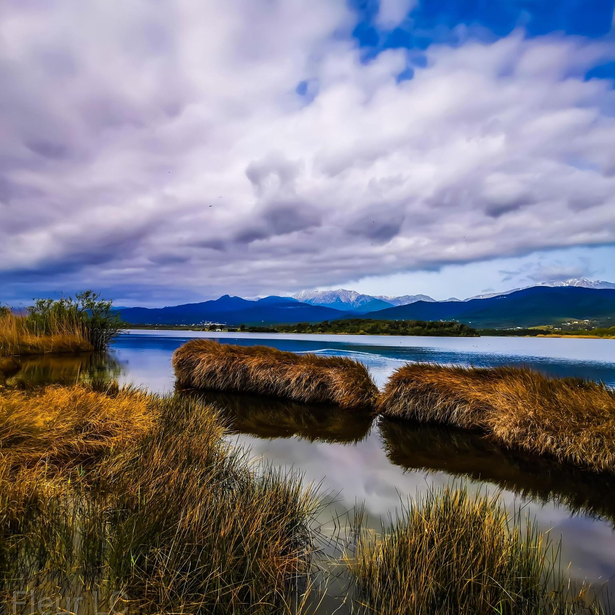
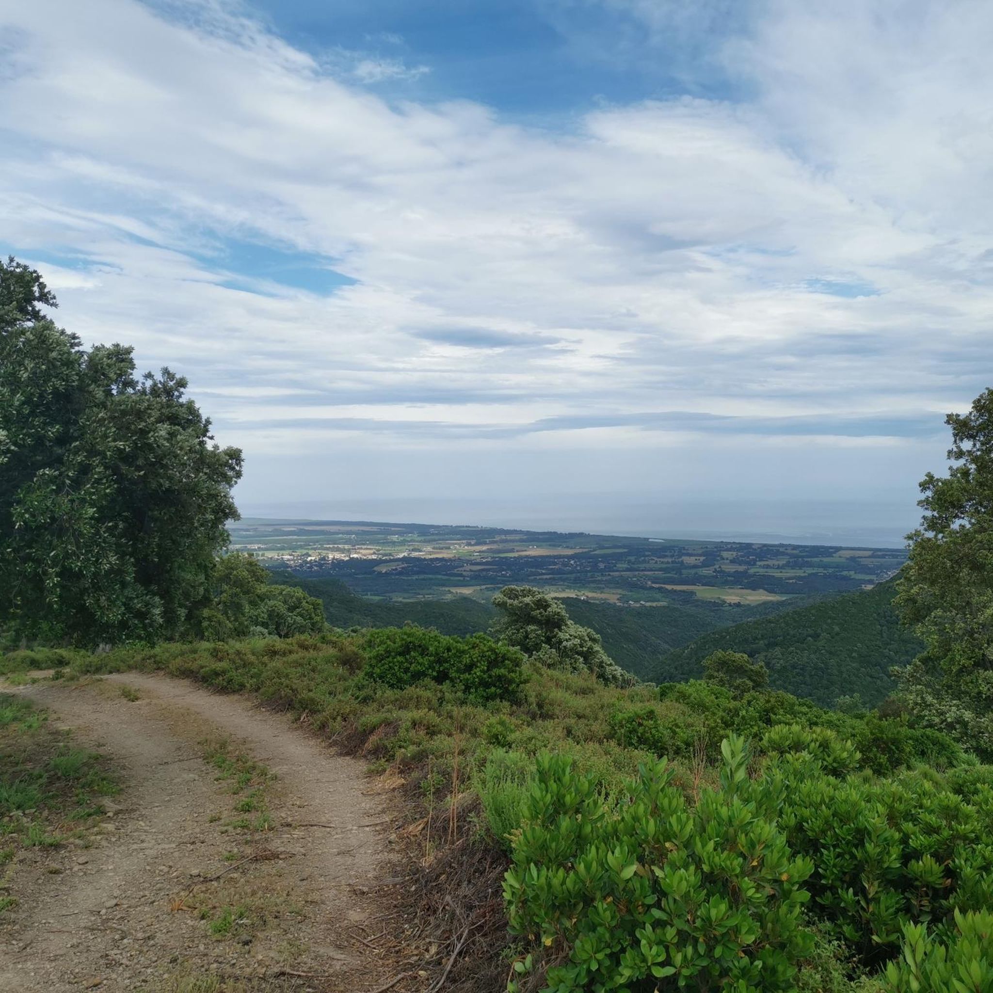
Touring cycling around Serra-Di-Fiumorbo presents varied terrain, encompassing both coastal roads and mountainous areas. The region features rocky summits, such as Monte Santu, and elevations ranging up to 1,560 meters, providing both challenging ascents and scenic descents. Cyclists can also encounter fir and beech forests, as well as rivers like the Aglia and Tagnone.
Best touring cycling routes around Serra-Di-Fiumorbo
- The most popular touring cycling route is Urbino Pond – View of Étang de Biguglia loop from Fium'Orbu, a…
Last updated: July 12, 2026
4.3
(19)
131
riders
Easy bike ride. Great for any fitness level. Mostly paved surfaces. Suitable for all skill levels.
3.7
(3)
94
riders
13.8km
00:48
40m
40m
Easy bike ride. Great for any fitness level. Mostly paved surfaces. Suitable for all skill levels.

Sign up for free
4.0
(4)
73
riders
13.3km
00:46
40m
40m
Easy bike ride. Great for any fitness level. Mostly paved surfaces. Suitable for all skill levels.
4.8
(6)
48
riders
39.2km
02:59
1,000m
1,000m
Hard bike ride. Very good fitness required. Mostly paved surfaces. Suitable for all skill levels.
4.3
(4)
14
riders
27.4km
01:59
580m
580m
Hard bike ride. Very good fitness required. Mostly paved surfaces. Suitable for all skill levels.
Get access to more routes and recommendations from other explorers.
Sign up for free
Already have an account?
Our route recommendations are based on thousands of hikes, rides, and runs completed by other people on komoot.
Start today with a free account
Your next adventure awaits.
Login or Signup
Other adventures around Serra-Di-Fiumorbo


Tips from the Community

The natural pools have been filled with sand. About six weeks ago, there was still a shallow pool. We couldn't find where the thermal water is channeled into the river; it was all overgrown.
0
0

Great crossing with beautiful views of the mountains.
0
0

Here the bereaved and those who pass by have a wonderful panoramic view
0
0
Here you can enjoy delicious cakes to finish off your bike tour and baguettes to take away for dinner
1
0
many small streams form a river
0
0

Here is a super beautiful panoramic view
0
0
Sometimes there are water sports activities
0
1
Nice rest area with water inlet
0
0
Frequently Asked Questions
How many touring cycling routes are available in Serra-Di-Fiumorbo?
There are over 70 touring cycling routes in Serra-Di-Fiumorbo, offering a wide range of experiences. You'll find options from easy coastal rides to challenging mountain ascents, with 18 easy, 12 moderate, and 41 difficult routes to choose from.
What kind of landscapes can I expect to see while cycling in Serra-Di-Fiumorbo?
Serra-Di-Fiumorbo offers incredibly diverse landscapes. You'll cycle along dramatic coastlines with Mediterranean views, through dense fir and beech forests, and ascend into mountainous terrain featuring rocky summits like Monte Santu. The region's elevation ranges up to 1,560 meters, providing stunning panoramic vistas.
Are there any easy touring cycling routes suitable for beginners or families?
Yes, Serra-Di-Fiumorbo has 18 easy touring cycling routes. A great option for a relaxed ride is the Pinia Beach loop from Fium'Orbu, an 8-mile (13 km) trail leading through coastal areas, typically completed in about 45 minutes. Another easy coastal option is the Pinia Beach loop from Ghisonaccia.
What are some notable natural features or landmarks to look out for on a touring cycle?
The region is rich in natural beauty. You might encounter impressive waterfalls like the Buja waterfall, one of Corsica's highest. Mountainous areas offer breathtaking views, such as those from the Departure Col de Bavella or the summit of Mount Incudine. You can also find unique geological formations known as 'pozzi' (natural water pools in peat bogs) in higher altitudes.
Are there any circular touring cycling routes in the area?
Yes, many routes in Serra-Di-Fiumorbo are loops. For a challenging ride with expansive views, consider the Prunelli de Fiumorbo – View from Prunelli-di-Fiumorbo loop, a difficult 20.6-mile (33.2 km) path. For a coastal experience, the Pinia Beach loop from Fium'Orbu is an easy option.
What is the best time of year for touring cycling in Serra-Di-Fiumorbo?
The diverse topography of Serra-Di-Fiumorbo means cycling conditions can vary. Coastal routes are enjoyable for much of the year, while mountainous areas are best explored from late spring through early autumn to avoid snow and ensure more stable weather. Always check local forecasts, especially when planning ascents to higher elevations.
What do other touring cyclists say about the routes in Serra-Di-Fiumorbo?
The touring cycling routes in Serra-Di-Fiumorbo are highly rated by the komoot community, with an average score of 4.5 stars from over 280 reviews. Cyclists often praise the varied terrain, from dramatic coastlines to challenging mountain roads, and the stunning natural beauty of the region.
Are there any routes that offer views of lakes or ponds?
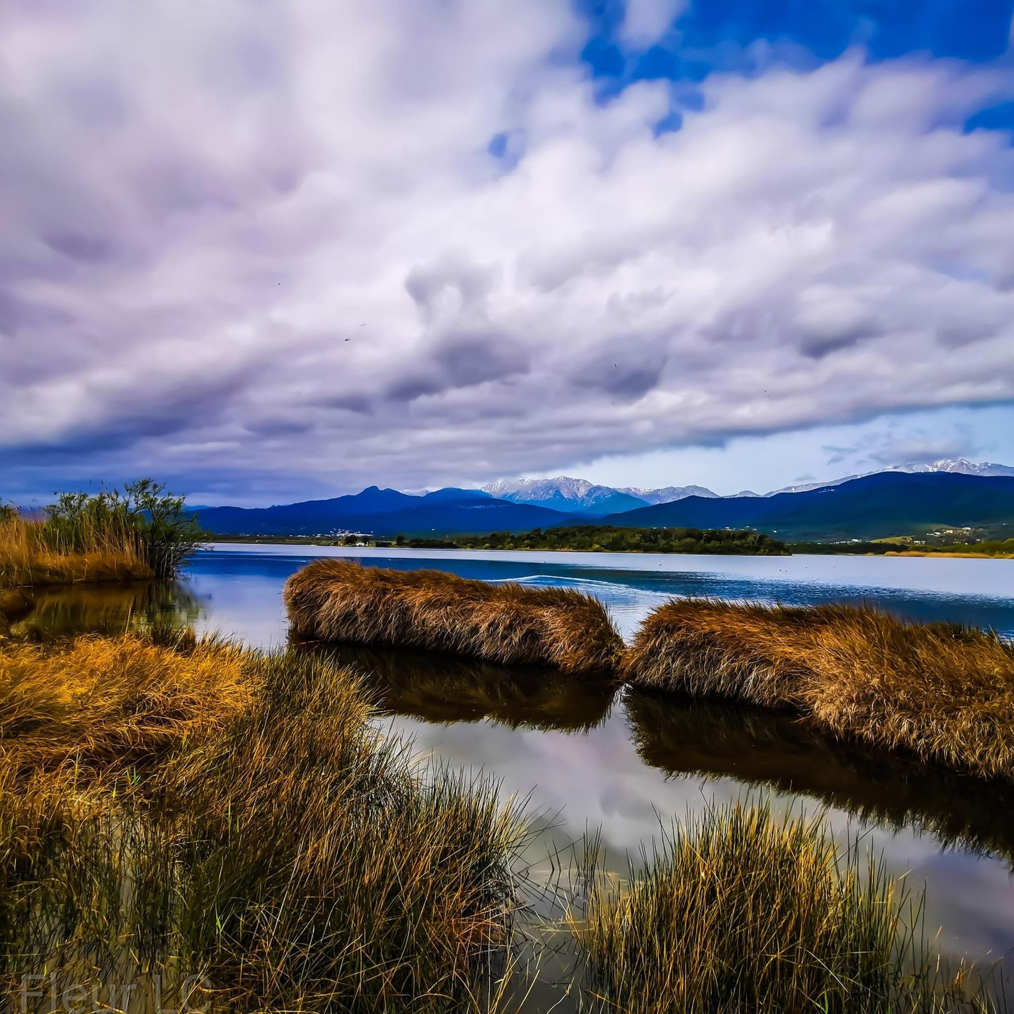
Yes, you can find routes that provide scenic views of water bodies. The Urbino Pond – View of Étang de Biguglia loop from Fium'Orbu is a difficult 10-mile (16.1 km) trail that offers views of the Étang de Biguglia, a significant coastal lagoon.
Are there any moderate difficulty routes for touring cyclists looking for a bit of a challenge?
Certainly! There are 12 moderate routes available. A good example is the Singletrail loop from Ghisonaccia, which is 19.5 miles (31.3 km) long and typically takes around 1 hour 52 minutes to complete, offering a balanced challenge.
Can I find places to eat or stay near the cycling routes?
While specific establishments aren't listed in the route data, the region of Serra-Di-Fiumorbo and nearby towns like Ghisonaccia and Prunelli-di-Fiumorbo are part of Corsica's established tourism infrastructure. You can expect to find cafes, pubs, restaurants, and accommodation options catering to visitors, including cyclists, especially in the main villages and coastal areas.
What kind of elevation changes should I expect on touring cycling routes in Serra-Di-Fiumorbo?
The region's topography is quite varied, with elevations ranging from sea level up to 1,560 meters. You'll find routes with minimal elevation gain, particularly along the coast, but also challenging mountain ascents with significant climbs, such as the 622 meters of uphill on the Prunelli de Fiumorbo loop. Be prepared for both flat stretches and demanding climbs.
Most popular attractions around Serra-Di-Fiumorbo

Get inspired with the komoot mobile app


Explore more
Browse the best Cycling routes in other regions.
