The best running trails around Sentheim
4.6
(84)
2,871
runners
17
runs
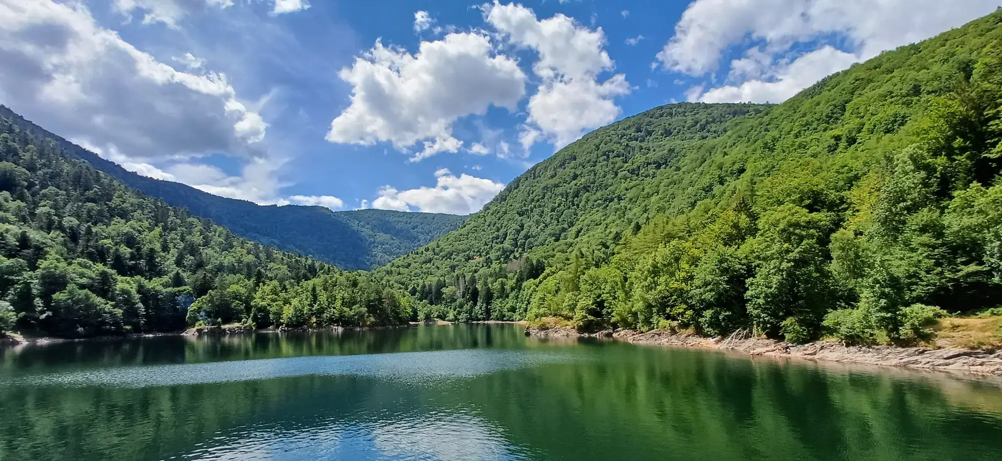
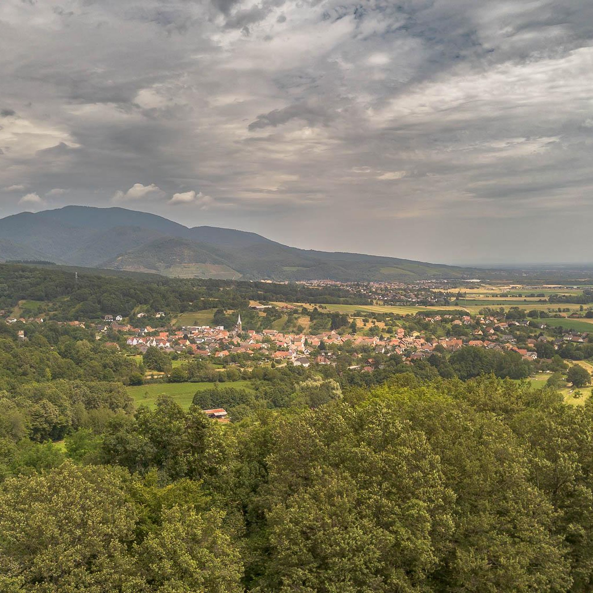
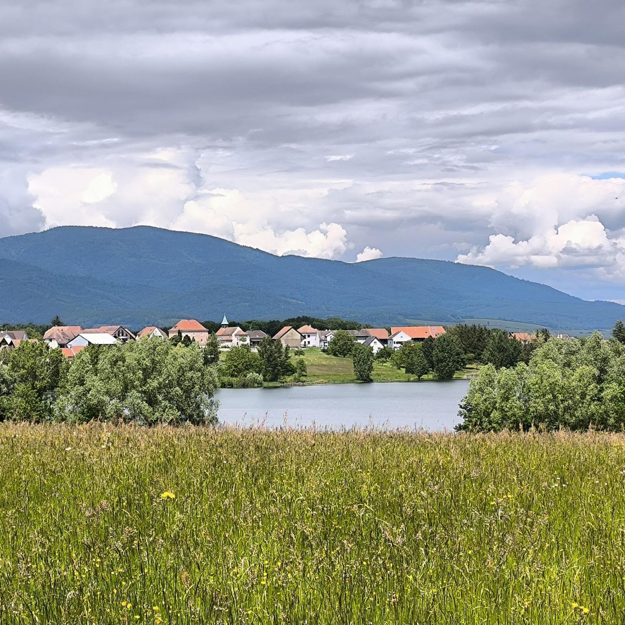
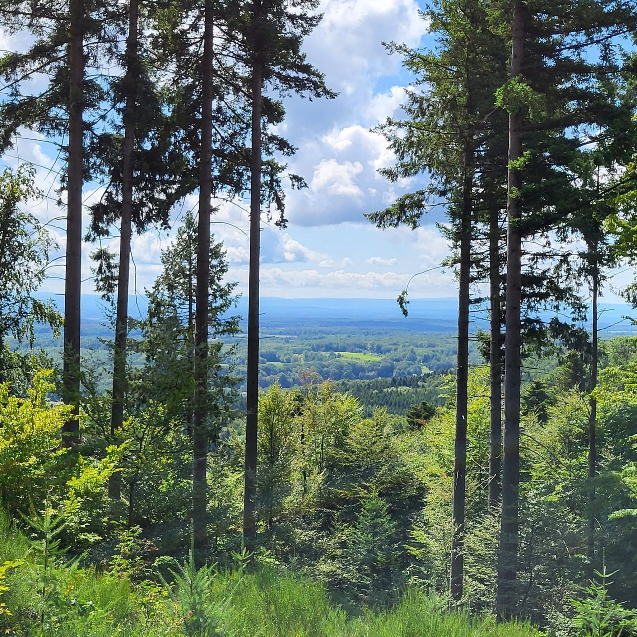
Jogging routes around Sentheim offer diverse terrain in the Haut-Rhin department of northeastern France. The commune is situated in the scenic Doller valley, at the transition point between the Vosges mountains and the Upper Rhine Plain. This location provides a mix of flatter valley paths along the Doller river and more challenging trails leading towards the foothills of the Vosges. The area is part of the Ballons des Vosges Regional Natural Park, ensuring a natural backdrop for running activities.
Best…
Last updated: October 29, 2026
5.0
(1)
23
runners
12.6km
01:34
290m
290m
Moderate run. Good fitness required. Mostly paved surfaces.
9
runners
6.50km
00:42
80m
80m
Moderate run. Good fitness required. Mostly paved surfaces.

7
runners
7.50km
00:50
30m
30m
Moderate run. Good fitness required. Mostly paved surfaces.
6
runners
6.96km
00:47
60m
60m
Moderate run. Good fitness required. Mostly paved surfaces.
3.0
(1)
6
runners
9.08km
00:57
60m
60m
Moderate run. Good fitness required. Mostly paved surfaces.
Get access to more routes and recommendations from other explorers.
Already have an account?
Our route recommendations are based on thousands of hikes, rides, and runs completed by other people on komoot.
Start today with a free account
Your next adventure awaits.


Other adventures around Sentheim

Tips from the Community

Remnants of the old railway line with their own charm
0
0

Beautiful station sign of the train station From 925 onwards, Alsace initially played a special political role, but from 988 to 1254 at the latest it formed part of the Duchy of Swabia. Between the end of the 8th and the middle of the 10th century, the two counties of Nordgau and Sundgau were established as administrative districts. The Jura areas that previously belonged to Alsace (south to the Aare) were separated. Many different political regimes emerged, primarily due to the end of the Hohenstaufens in 1254 and the associated quasi-dissolution of their Duchy of Swabia, but also due to the slow general collapse of central authority in the empire. These quickly became the actual bearers of the most important political powers of government. They operated under the umbrella of the empire, since the 17th century under that of the Kingdom of France, and were tied to the empire or France to very different degrees. Regional political institutions were the estates and the imperial districts, in the French period Intendance, Governor and Conseil souverain. The most important powers in Alsace at this time include the princely houses of Habsburg (only until 1648), Hanau-Lichtenberg, Württemberg and Rappoltstein, the city of Strasbourg and the cities of the Ten-City League, the secular lordships of the dioceses of Strasbourg and Basel, the princely abbey of Murbach and the Possessions of the Lower Alsatian knighthood count. The imperial city of Mulhouse joined the older Swiss Confederation in 1515 as an adjacent town and thus remained one of the few entities without French sovereign rights (until 1798).
1
0

Worth seeing church in Lauw in the Doller valley. More information: https://de.wikipedia.org/wiki/Lauw
1
0
Frequently Asked Questions
How many running routes are available around Sentheim?
There are over 19 running routes around Sentheim, offering a variety of options for different preferences and fitness levels. The majority of these, 17 routes, are rated as moderate, with 2 routes considered difficult.
What kind of terrain can I expect on a run near Sentheim?
Running routes in Sentheim offer diverse terrain, ranging from flatter valley paths along the Doller river to more challenging trails in the foothills of the Vosges mountains. The area is situated at the transition point between the Vosges and the Upper Rhine Plain, providing a mix of scenic landscapes within the Ballons des Vosges Regional Natural Park.
What do other runners say about the trails in Sentheim?
The running routes in Sentheim are highly rated by the komoot community, with an average score of 4.5 stars from over 50 reviews. More than 2700 runners have used komoot to explore the varied terrain, often praising the natural beauty and diverse options available.
Are there any circular running routes in Sentheim?
Yes, many of the running routes around Sentheim are circular. For example, the popular Kaltenbachweiher – Buchberg loop from Sentheim is a challenging 12.9 km option, while the Étang du Vieux Moulin loop from Sentheim offers a moderate 6.5 km scenic run.
Are there running routes suitable for beginners in Sentheim?
While most routes are moderate, options like the Sentheim station – Guewenheim station loop from Sentheim offer relatively flat terrain through the Doller valley, making it a good choice for those new to running or looking for an easier pace. This 7.1 km route has minimal elevation changes.
What natural features or landmarks can I see while running in Sentheim?
While running in Sentheim, you can experience the scenic Doller Valley and its river. Nearby attractions include the Hundsruck Pass, and the beautiful Michelbach Lake. The region is also close to the majestic Vosges mountains, with the Grand Ballon offering panoramic views on clear days.
Can I bring my dog on the running trails in Sentheim?
Generally, dogs are welcome on trails in the Ballons des Vosges Regional Natural Park, which encompasses Sentheim. However, it's always recommended to keep dogs on a leash, especially in areas with wildlife or near agricultural land, and to check specific trail regulations for any restrictions.
Are there family-friendly running options in Sentheim?
For families, routes with less elevation and well-maintained paths are ideal. The valley paths along the Doller river, such as the Sentheim station – Guewenheim station loop from Sentheim, provide a gentler experience suitable for a family run or walk.
Is parking available near the running routes in Sentheim?
Yes, parking is generally available in and around Sentheim, particularly near trailheads or public areas. Many routes, like those starting from Sentheim itself, will have convenient access to parking facilities.
How can I reach the running trails in Sentheim using public transport?
Sentheim has a train station, which can serve as a convenient starting point for several running routes. The Sentheim station – Guewenheim station loop from Sentheim, for instance, directly utilizes the local rail network for access.
What is the best season for running in Sentheim?
Sentheim offers great running opportunities throughout the year. Spring and autumn provide pleasant temperatures and beautiful scenery with blooming flowers or vibrant foliage. Summer is excellent for early morning or late afternoon runs to avoid the heat, while winter can offer unique snowy landscapes, though some higher trails might require appropriate gear.
Are there any viewpoints along the running trails in Sentheim?
While specific viewpoints are not detailed for every running route, the region's proximity to the Vosges mountains means that trails with higher elevation, such as the challenging Kaltenbachweiher – Buchberg loop from Sentheim, are likely to offer rewarding vistas of the surrounding Doller Valley and the distant peaks.
Most popular routes around Sentheim
Most popular attractions around Sentheim

Get inspired with the komoot mobile app


Explore more
Browse the best Running Trails & Routes in other regions.
