The best mountain hikes around Murianette
4.6
(14)
154
hikers
17
hikes
Mountaineering routes around Murianette are situated in a region characterized by significant elevation changes and alpine landscapes, offering challenging ascents and descents. The area features prominent peaks and high-altitude lakes, providing a rugged environment for experienced mountaineers. The terrain primarily consists of mountainous paths, often leading through varied natural settings.
Best mountaineering routes around Murianette
- The most popular mountaineering route is Lac du Crozet loop from Freydières, a 7.4 miles (11.9 km) difficult trail that takes about 5 hours…
Last updated: October 4, 2026
4.0
(2)
18
hikers
12.5km
07:01
1,020m
1,020m
Hard mountaineering route. Very good fitness required. Sure-footedness, sturdy shoes and alpine experience required.
5.0
(3)
20
hikers
Hard mountaineering route. Very good fitness required. Sure-footedness, sturdy shoes and alpine experience required.

17
hikers
12.3km
06:14
1,060m
1,060m
Hard mountaineering route. Very good fitness required. Sure-footedness, sturdy shoes and alpine experience required.
18
hikers
3.74km
02:29
410m
410m
Hard mountaineering route. Good fitness required. Sure-footedness, sturdy shoes and alpine experience required.
5.0
(2)
9
hikers
17.8km
08:00
1,120m
1,120m
Hard mountaineering route. Very good fitness required. Mostly accessible paths. Sure-footedness required.
Get access to more routes and recommendations from other explorers.
Already have an account?
Our route recommendations are based on thousands of hikes, rides, and runs completed by other people on komoot.
Start today with a free account
Your next adventure awaits.
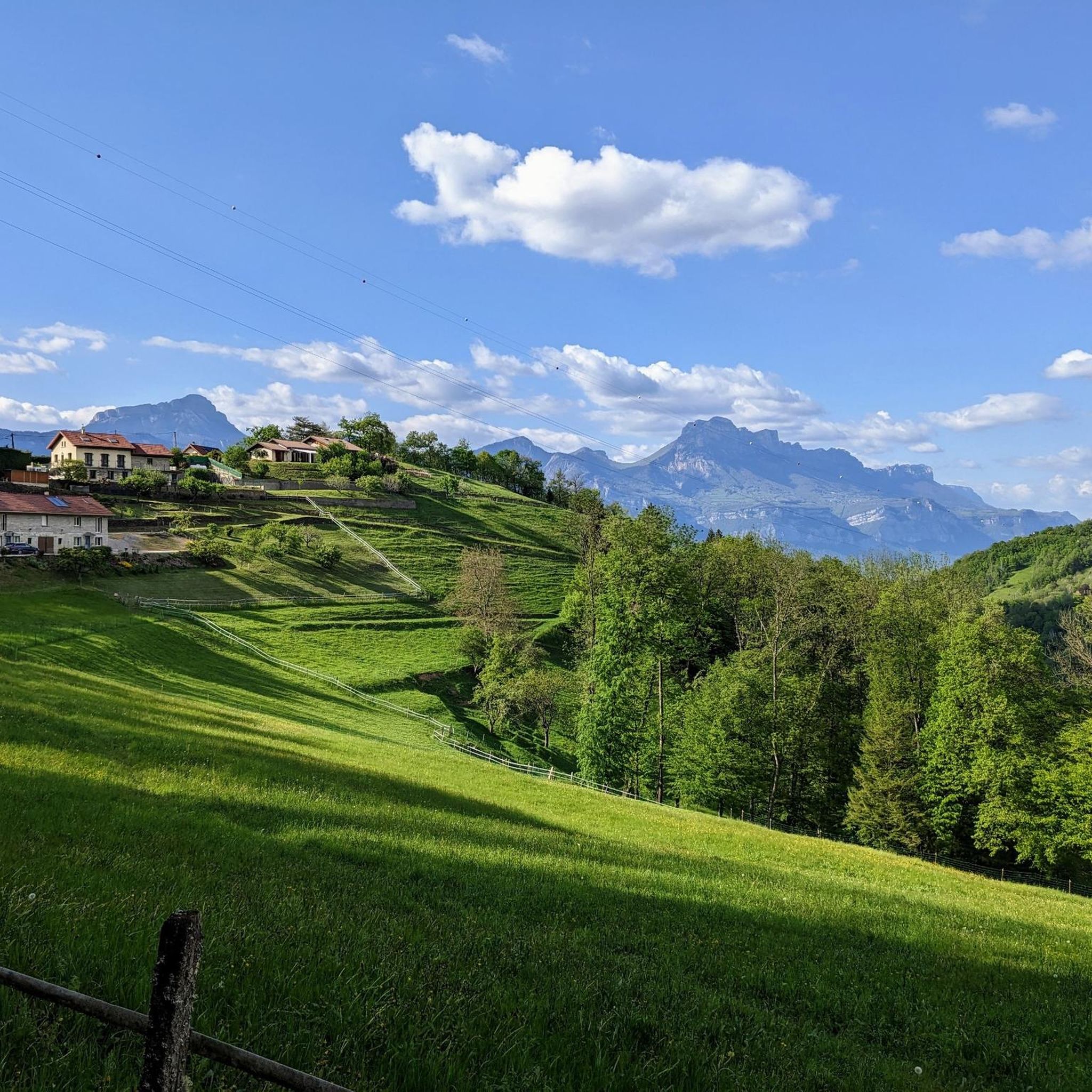
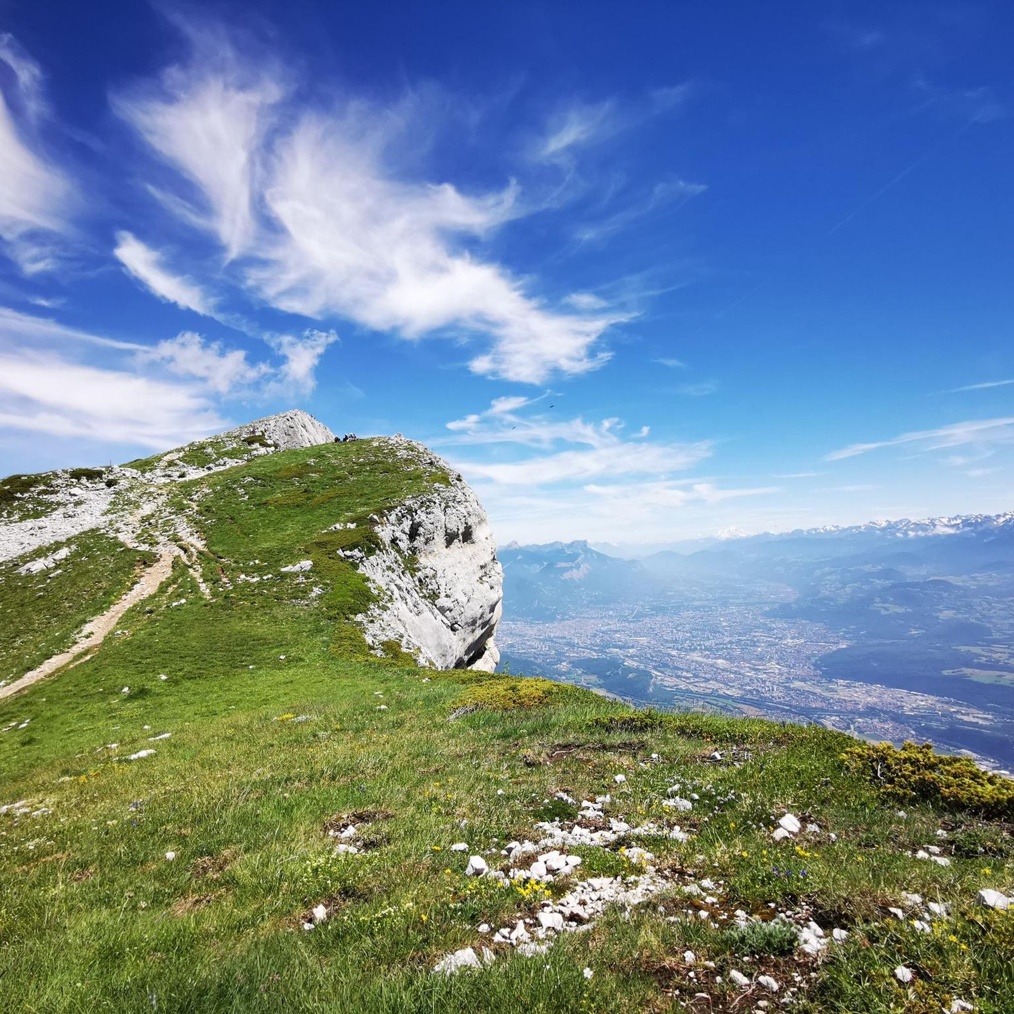
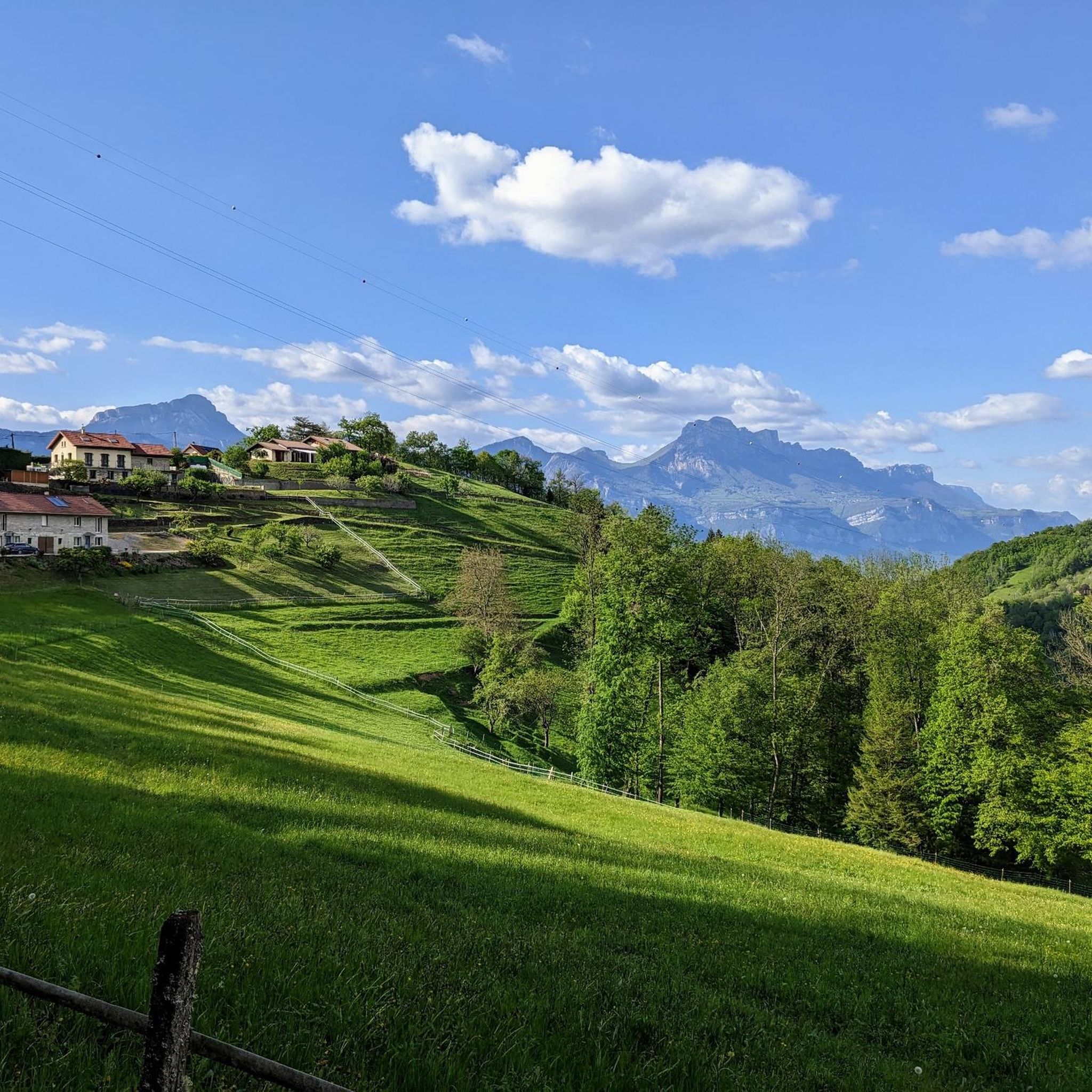
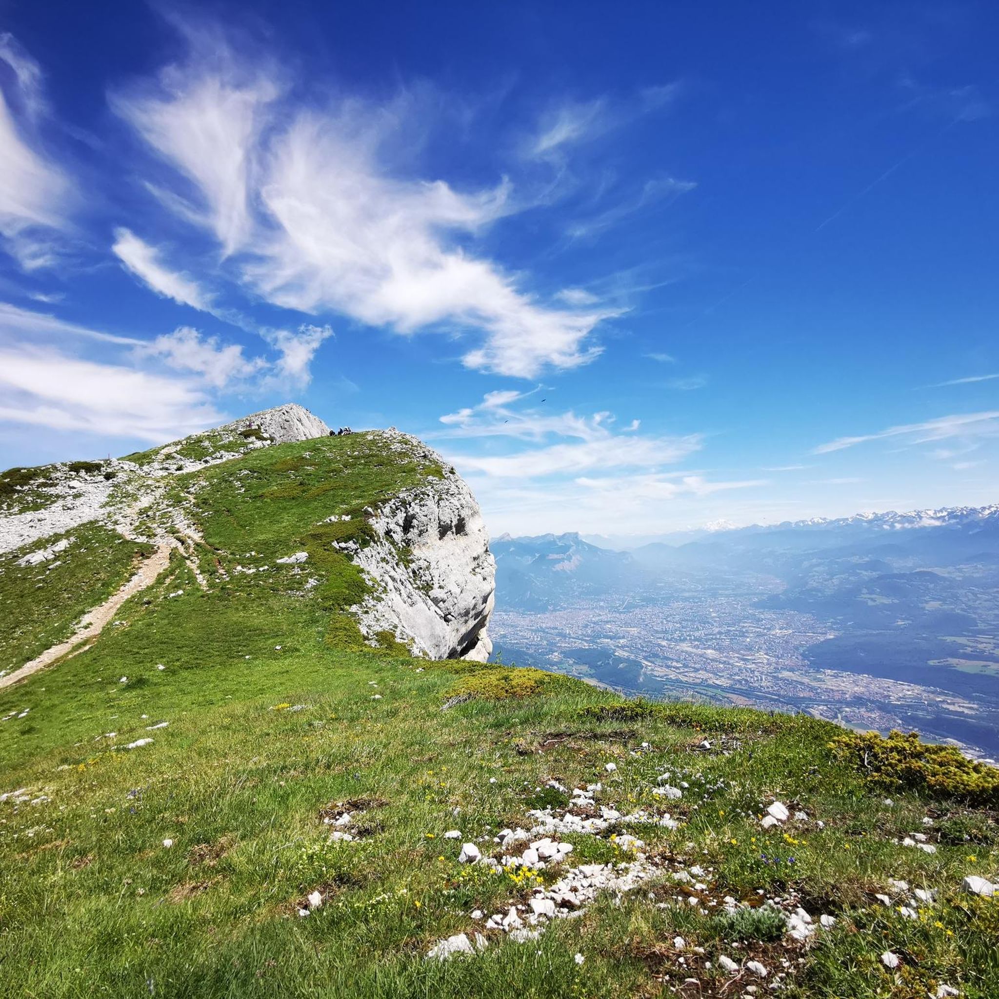
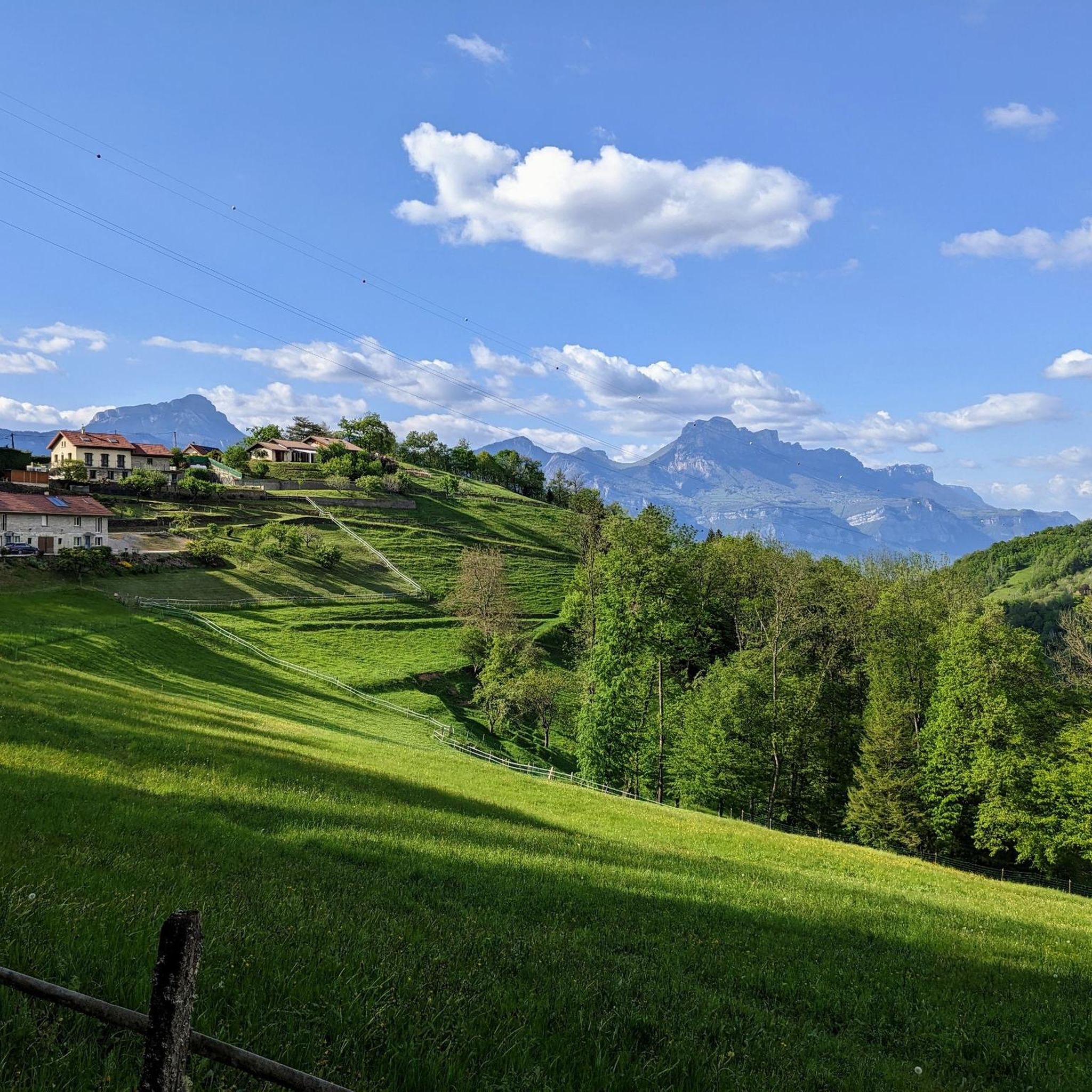
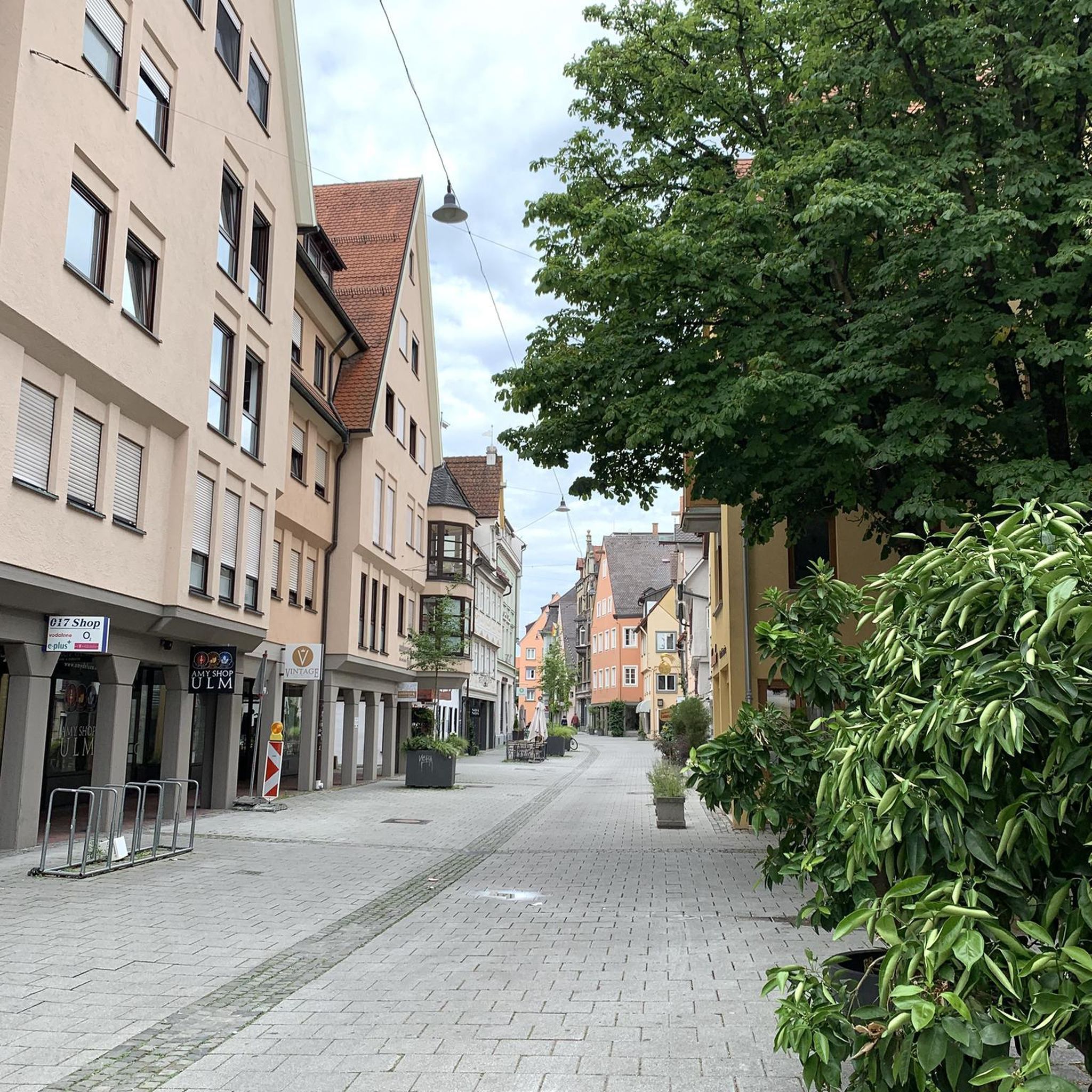
Tips from the Community

A bit of gas and a beautiful view of the city
0
0

Very beautiful view when the sky is clear, remember to take a windbreaker at the summit, you will find ibexes. The area is really very simple and does not require strong hiking / trail experience (for the altitude 2930 I think)
1
0
In winter as in summer it is perfect, full of spots for bivouacking, a walk or a trail, there are no dangerous areas, and all the passages are simple and well indicated! 👌
0
0
Magnificent lake! Accessible to all! As a bonus, you'll find ibexes and a few marmots if you're lucky. For the more courageous, you can climb to an altitude of 2,900 m by continuing on the path with a magnificent view if the sky is clear!
0
0

Very beautiful refuge for bivouacking!
0
0

Magnificent waterfall several dozen meters high which brings a lot of freshness!
0
0
Frequently Asked Questions
What is the general difficulty level of mountaineering routes around Murianette?
Mountaineering routes in Murianette are primarily challenging, catering to experienced mountaineers. All 20 routes listed in this guide are rated as difficult, featuring significant elevation changes and rugged alpine terrain.
Are there any family-friendly mountaineering options in Murianette?
Given the challenging nature of the terrain, with all routes rated as difficult and featuring significant elevation gains, the mountaineering routes around Murianette are generally not considered suitable for young children or beginners. They are best suited for experienced mountaineers.
What kind of landscapes can I expect on mountaineering routes near Murianette?
The region around Murianette is characterized by alpine landscapes, prominent peaks, and high-altitude lakes. You can expect rugged environments with mountainous paths, offering challenging ascents and descents through varied natural settings.
What do other mountaineers say about the routes in Murianette?
The komoot community highly rates the mountaineering routes in Murianette, with an average score of 4.9 stars from over 20 reviews. Mountaineers often praise the challenging ascents, the stunning high-altitude lakes, and the diverse alpine landscapes.
Are there any circular mountaineering routes available?
Yes, several popular routes are circular. For instance, the Lac du Crozet loop from Freydières is a 7.4-mile (11.9 km) difficult trail, and the Grand Colon (2,394 m) loop from Les 4 Chemins is another challenging loop leading to a prominent peak.
What are some notable peaks or viewpoints accessible via mountaineering routes?
Many routes offer extensive views and lead to significant peaks. For example, the Grand Colon (2,394 m) loop from Les 4 Chemins takes you to a prominent summit. You can also explore nearby peaks like Chamechaude or Mount Rachais, which are popular highlights in the region.
What is the typical duration for mountaineering routes in Murianette?
The duration varies depending on the route's length and elevation gain. For example, the Lac du Crozet loop from Freydières typically takes about 5 hours 20 minutes, while the longer Lac du Crozet – Lake Doménon loop from La Pliou - Pré Raymond can take over 10 hours.
Are there any routes that connect multiple high-altitude lakes?
Yes, the Lac du Crozet – Lake Doménon loop from La Pliou - Pré Raymond is a notable route that connects two significant high-altitude lakes, offering extensive views and a demanding experience.
What should I consider regarding parking for these mountaineering routes?
Most mountaineering routes in Murianette start from specific trailheads, often in or near villages like Freydières or La Pliou - Pré Raymond. It's advisable to check the starting point of your chosen route for available parking facilities before your trip.
What is the best season for mountaineering in Murianette?
Given the alpine nature and high-altitude lakes, the best season for mountaineering in Murianette is typically from late spring to early autumn (June to September) when snow has melted from higher elevations and weather conditions are generally more stable. Always check local weather forecasts and trail conditions before heading out.
Are there any shorter, yet still challenging, mountaineering routes?
While all routes are difficult, some are shorter in distance. For example, the L'Écoutoux loop from Le Sappey-en-Chartreuse is a 2.3-mile (3.7 km) difficult route, offering a concentrated challenge over a shorter distance.
What kind of gear should I bring for mountaineering in Murianette?
Given the difficult rating and alpine environment, essential gear includes sturdy mountaineering boots, appropriate layers of clothing for varying weather, navigation tools (map, compass, or GPS), sufficient water and food, and safety equipment like a first-aid kit. Trekking poles are also highly recommended for stability on steep terrain.
Most popular routes around Murianette
Most popular attractions around Murianette

Get inspired with the komoot mobile app


Explore more
Browse the best Mountain Hikes & Routes in other regions.
