The best road cycling routes around Ruy-Montceau
4.3
(267)
3,840
riders
557
rides
Road cycling around Ruy-Montceau offers a diverse landscape in the Isère department of France. The region features varied topography, with altitudes ranging from 244 to 505 meters, providing a mix of terrain for cyclists. Routes traverse the central Bourbre valley, rural plateaus to the north and south, and low to medium-altitude hills. This natural heritage includes numerous ponds and a network of roads suitable for different cycling preferences.
Best road cycling routes around Ruy-Montceau
- The most popular road cycling route…
Last updated: July 10, 2026
4.5
(4)
28
riders
88.5km
04:09
1,000m
1,000m
Hard road ride. Very good fitness required. Some segments of this route may be unpaved and difficult to ride.
13
riders
49.2km
02:14
450m
450m
Moderate road ride. Good fitness required. Mostly well-paved surfaces and easy to ride.

Sign up for free
4.5
(2)
28
riders
35.2km
01:34
380m
380m
Moderate road ride. Good fitness required. Mostly well-paved surfaces and easy to ride.
11
riders
23.7km
01:16
340m
340m
Moderate road ride. Good fitness required. Mostly well-paved surfaces and easy to ride.
4.0
(1)
10
riders
60.2km
02:55
750m
750m
Moderate road ride. Good fitness required. Mostly well-paved surfaces and easy to ride.
Get access to more routes and recommendations from other explorers.
Sign up for free
Already have an account?
Our route recommendations are based on thousands of hikes, rides, and runs completed by other people on komoot.
Start today with a free account
Your next adventure awaits.
Login or Signup
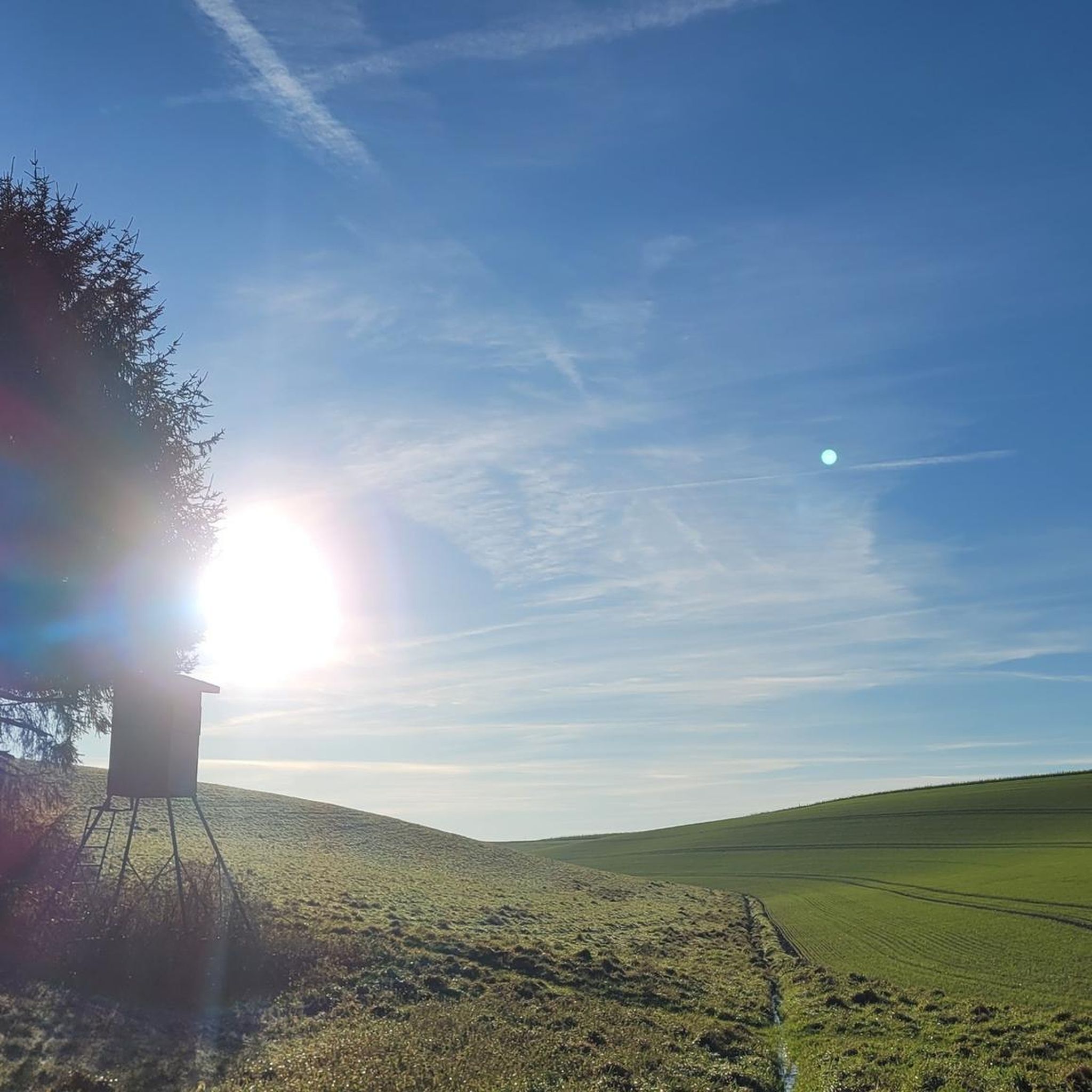
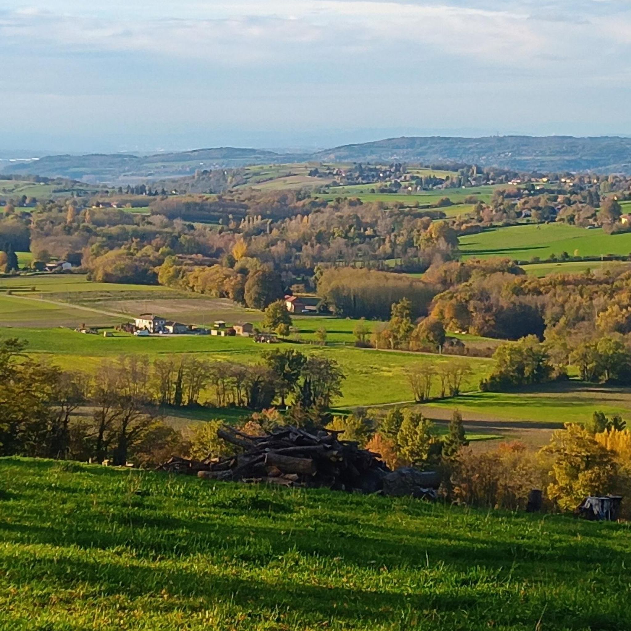
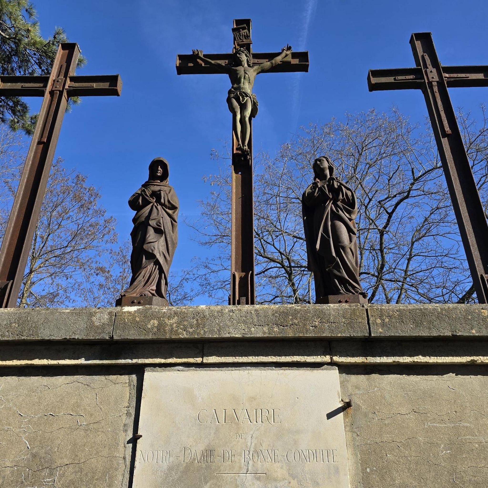


Tips from the Community


These buildings are the origins of a former tile factory founded in 1850 by Charles Joseph Bertrand, which produced tiles of various designs for the entire region. Dauphiné roofs in the region are still covered with tiles made here. The location in Doissin was likely justified by the proximity of the clay that makes up the region's soil, the basic material for tiles. https://tuileriebertrand.jimdofree.com/ https://tourisme-valsdudauphine.fr/jy-suis/visites-et-patrimoine/musees/869960_ancienne-tuilerie-bertrand/
0
0

A very popular lake to visit during the summer months when the lake is quite refreshing. Every year, there is a time trial around the lake.
0
0

Magnificent hikes without being isolated, with varied landscapes and beautiful mountain views, no elevation changes, and plenty of wildlife along the way. Top!
1
0

Very beautiful natural lake of glacial origin in the Chartreuse. The tour of the lake is about 17 kilometers through forest and fields, and allows you to admire the landscape from all angles.
0
0

The factory of the famous Aoste charcuterie brand! But the factory outlet is in the city center, no point trying to get in here!
0
0

Thick mist, mysterious atmosphere in the absence of a view on this February afternoon.
0
0
In the 10th century, a community of monks must have lived in Demptézieu, if only for the construction of a church. This monastery, under the dependence of the church of Lyon, managed the town, its lands and its vineyards. Around 1172, this church was placed under the patronage of Saint Chef and until 1801, it was patronized by the diocese of Vienna. In the 11th century, the castle of Demptézieu was defended by 15 towers connected by a surrounding wall 800m long and 1.30m thick. These fortifications went as far as the Chapelle Seigneuriale (the current church). In 1462, the chapel was reported as a parish church. Over the ages, the Church of Demptézieu was built in 3 stages and underwent numerous transformations. A plan from 1728 shows a Church in the shape of a cross: To the right of the choir, the Sainte Madeleine chapel. To the left of the choir, the Saint Etienne chapel The bell tower was located in the center of the choir. In 1885, the church was too small. The chapels were extended into 2 side naves, which transformed the Latin cross into a church with 3 naves. Today : To the right of the choir, a chapel dedicated to the Virgin To the left of the choir, a chapel dedicated to Saint Barhélémy, patron of the parish. We notice the presence of the bell tower above the porch. In the choir, a painting of St Barthélémy was offered by the Carthusians.
1
0
Frequently Asked Questions
How many road cycling routes are available in Ruy-Montceau?
Ruy-Montceau offers a wide selection of road cycling routes, with over 500 routes available. This includes 41 easy routes, 384 moderate routes, and 113 difficult routes, catering to various skill levels.
What kind of terrain can I expect when road cycling around Ruy-Montceau?
The region features a diverse landscape, with altitudes ranging from 244 to 505 meters. You'll find a mix of terrain, including the central Bourbre valley, rural plateaus to the north and south, and low to medium-altitude hills. This variety provides options from leisurely rides to more challenging climbs.
Are there any scenic viewpoints or natural features to look out for on road cycling routes?
Yes, Ruy-Montceau is rich in natural heritage. You can expect to cycle past numerous ponds, such as the beautiful Étang de la Rosière, and enjoy views along the Bourbre river. The varied topography also offers scenic vistas across rural plateaus and valleys.
Can I find family-friendly road cycling routes in Ruy-Montceau?
Absolutely. The area offers several easy road cycling routes suitable for families. For example, the Ruffieu loop from Nivolas-Vermelle is an easy 12.6-mile (20.3 km) path that provides a leisurely ride through natural settings, perfect for a family outing.
What are some options for easier road cycling routes for beginners?
Beginners can enjoy routes like the Ruffieu loop from Nivolas-Vermelle, which is classified as easy and covers 12.6 miles (20.3 km). This route offers a gentle introduction to road cycling in the area.
Are there more challenging road cycling routes for experienced cyclists?
Yes, for experienced cyclists seeking a challenge, Ruy-Montceau offers routes with more significant elevation gains. The region's low to medium-altitude hills and varied plateaus provide opportunities for more demanding ascents and longer distances. There are 113 difficult routes available.
Are there circular road cycling routes available?
Many of the road cycling routes in Ruy-Montceau are designed as loops, allowing you to start and finish at the same point. Examples include the Ancienne Tuilerie Bertrand – Road to nowhere loop from Nivolas-Vermelle and the Clear Lake – Demptézieu Castle loop from Montcarra.
What historical or cultural sites can I see while road cycling in the area?
While primarily known for its natural beauty, the region also has historical points of interest. You might discover the exteriors of châteaux like Theyzieu, Montceau, and Petit-Mont, or pass by the 12th-century Saint-Denis de Ruy church and the Sainte-Anne de Montceau church. The Clear Lake – Demptézieu Castle loop from Montcarra specifically leads past local landmarks.
What is the best time of year to go road cycling in Ruy-Montceau?
The spring and autumn months generally offer the most pleasant conditions for road cycling in Ruy-Montceau, with milder temperatures and beautiful scenery. Summer can also be enjoyable, though it's advisable to cycle earlier in the morning or later in the afternoon to avoid the midday heat.
Where can I find parking for road cycling routes in Ruy-Montceau?
Many routes start from towns or villages like Nivolas-Vermelle or Montcarra, where public parking is typically available. It's recommended to check local parking options near your chosen starting point before your ride.
What do other cyclists say about road cycling in Ruy-Montceau?
The road cycling routes in Ruy-Montceau are highly rated by the komoot community, with an average score of 4.2 stars from over 200 reviews. Cyclists often praise the varied terrain, scenic countryside, and the network of roads suitable for different ability levels.
Are there any specific attractions I should visit near the road cycling routes?
Beyond the cycling routes, you can explore attractions like Étang de la Rosière, a notable natural site. For adventure, Yapluka Park near Étang de la Rosière offers tree-top courses and outdoor laser tag. You can also find historical sites such as Chateau de Chapeau Cornu.
How long do road cycling routes typically take in Ruy-Montceau?
The duration of routes varies significantly based on distance and difficulty. For instance, an easy route like the Ruffieu loop from Nivolas-Vermelle takes about 1 hour. A moderate route such as the Ancienne Tuilerie Bertrand – Road to nowhere loop from Nivolas-Vermelle typically takes around 2 hours and 15 minutes.
Most popular routes around Ruy-Montceau
Most popular attractions around Ruy-Montceau

Get inspired with the komoot mobile app


Explore more
Browse the best Road cycling routes in other regions.
