The best mountain hikes around Türkheim
4.4
(7)
24
hikers
1
hike
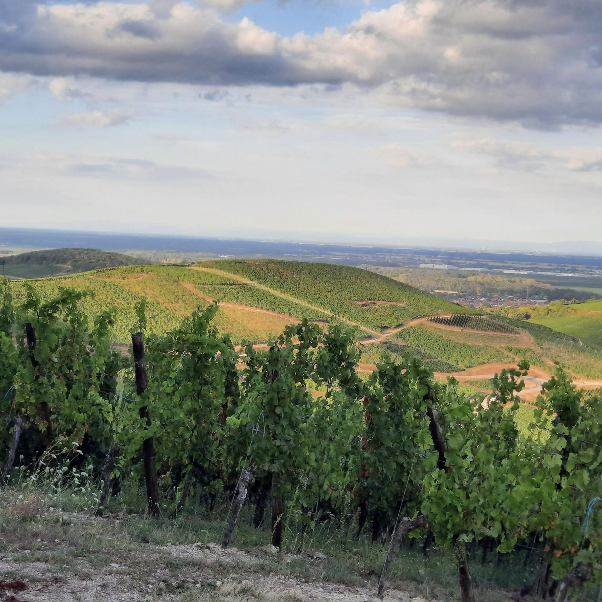
Mountaineering routes around Türkheim are set within a region characterized by significant elevation changes, dense forests, and notable rock formations. The landscape features several high-altitude lakes, offering diverse terrain for exploration. This area provides a range of paths, from challenging ascents to routes with scenic overlooks.
Best mountaineering routes around Türkheim
- The most popular mountaineering route is Rochers de Hans Ascent – View of Lac Blanc loop from Rocher Hans, a 2.9 miles (4.7 km) trail that takes 1…
Last updated: July 4, 2026
4.8
(4)
13
hikers
4.71km
01:57
220m
220m
Hard mountaineering route. Great for any fitness level. Sure-footedness, sturdy shoes and alpine experience required.
4.0
(1)
3
hikers
8.37km
03:11
370m
380m
Moderate mountaineering route. Good fitness required. Mostly accessible paths. Sure-footedness required.

Sign up for free
9.17km
03:25
390m
390m
Hard mountaineering route. Good fitness required. Sure-footedness, sturdy shoes and alpine experience required.
1
hikers
15.7km
05:16
450m
450m
Hard mountaineering route. Very good fitness required. Sure-footedness, sturdy shoes and alpine experience required.
5.0
(1)
1
hikers
7.59km
02:50
280m
280m
Hard mountaineering route. Good fitness required. Sure-footedness, sturdy shoes and alpine experience required.
Our route recommendations are based on thousands of hikes, rides, and runs completed by other people on komoot.
Start today with a free account
Your next adventure awaits.
Login or Signup
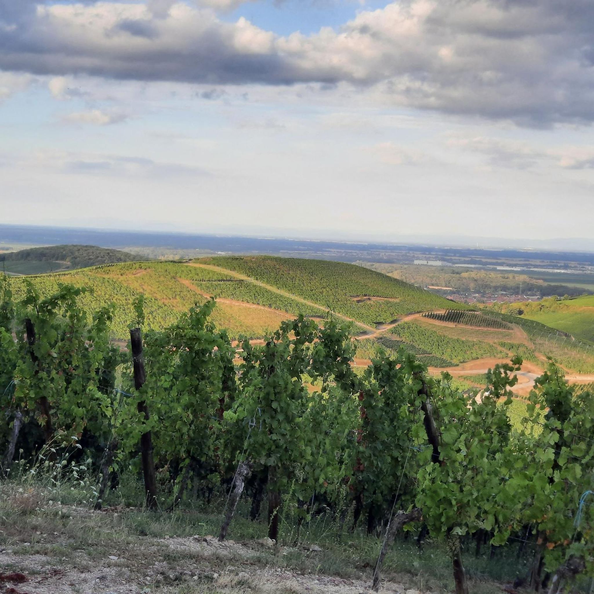
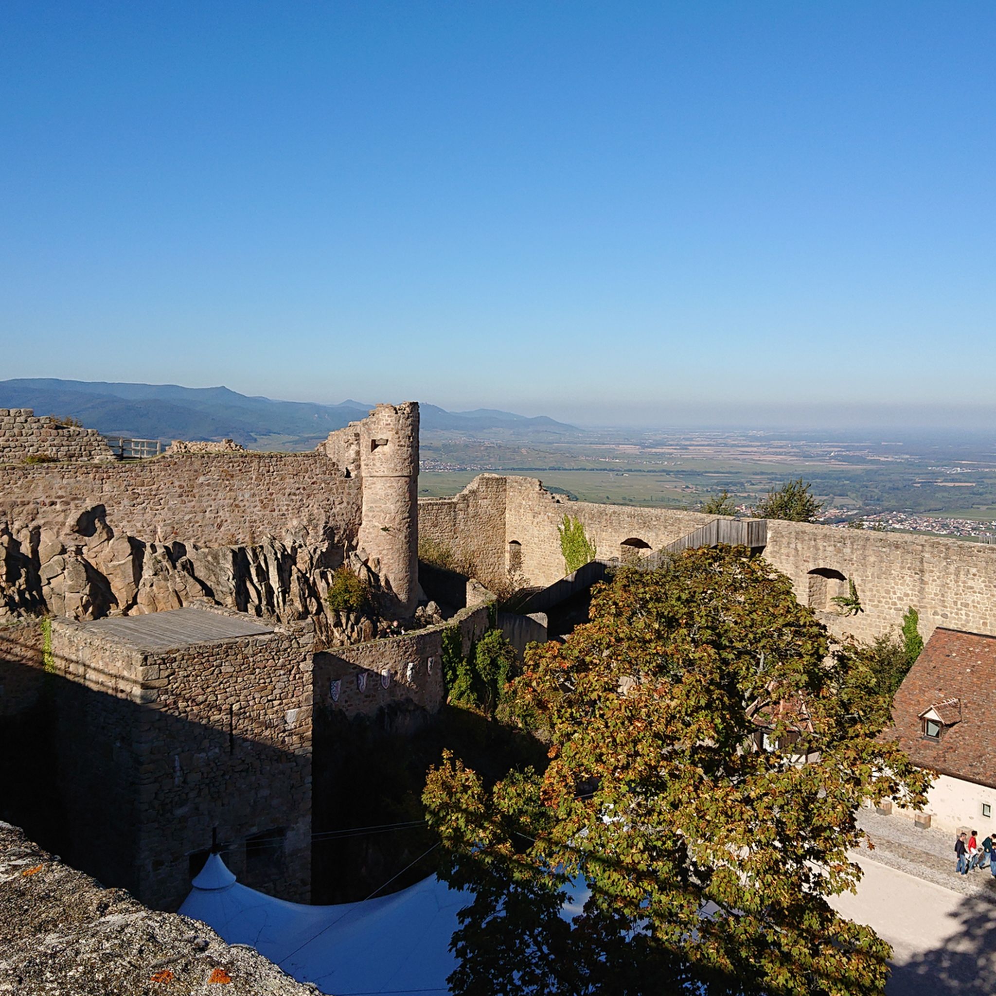
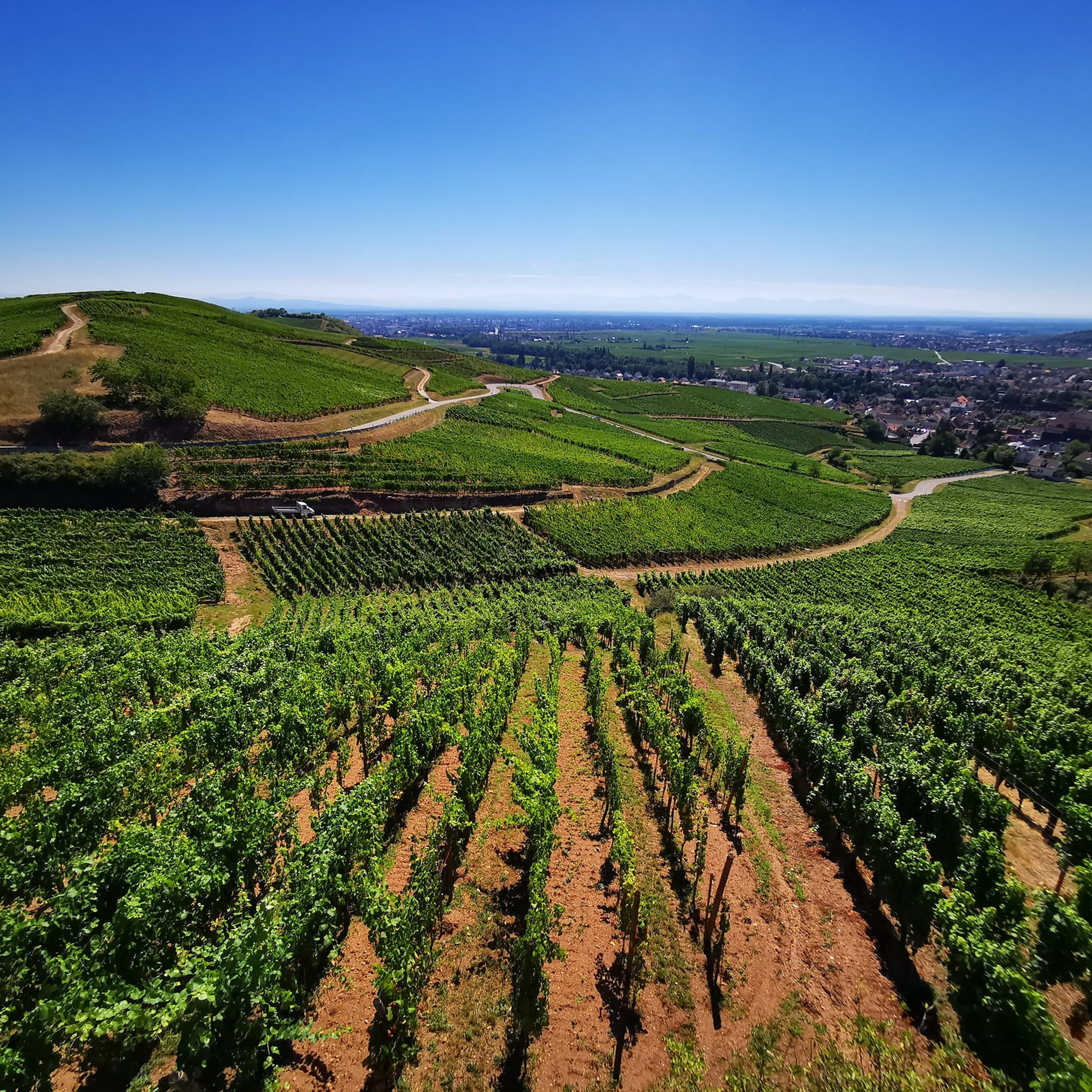
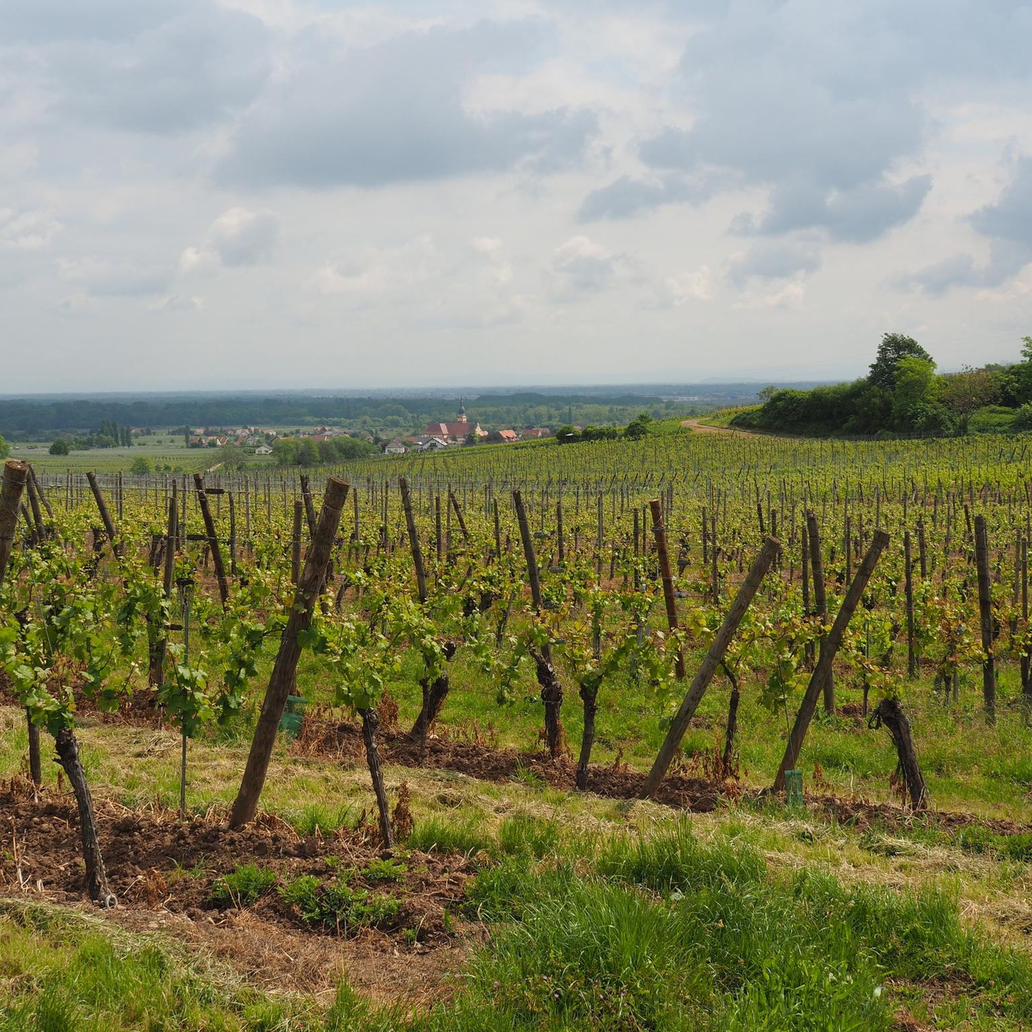
Tips from the Community


Beautifully situated mountain lake in the middle of the forest
3
0

Delicious Siaßhaas, when the farm is open.
0
2

A scenic tour that will delight you.
1
0

Here is a very pretty view of Lac du Forlet.
4
0
By straying slightly from the path, you will reach the bank from where you will have plenty of time to observe Lac Blanc.
5
0
Lac Blanc can be reached via a pretty rocky path from the plateau
1
0
Frequently Asked Questions
What is the general difficulty level of mountaineering routes around Türkheim?
The mountaineering routes around Türkheim are primarily challenging, with several paths rated as difficult. There is also a moderate option available, such as the Lac du Forlet – Black Lake loop from Lac Noir, which offers varied terrain and scenic lake views.
Are there any family-friendly mountaineering routes in the Türkheim area?
While many routes are rated as difficult, the region's diverse terrain means there are options for various abilities. For a moderate experience that families might enjoy, consider the Lac du Forlet – Black Lake loop from Lac Noir, which is 8.4 km long and explores scenic lake areas. Always assess the difficulty and your family's experience before setting out.
What are some of the notable natural landmarks or viewpoints along these routes?
The routes often feature high-altitude lakes and prominent rock formations. You can explore areas around Lac Blanc, Lac du Forlet, and Black Lake. The Lac Blanc – Taubenklangfelsen Viewpoint loop from Rocher Hans specifically leads to the Taubenklangfelsen Viewpoint, offering expansive vistas.
Are there any circular mountaineering paths available?
Yes, many of the mountaineering routes around Türkheim are designed as loops. Examples include the Rochers de Hans Ascent – View of Lac Blanc loop from Rocher Hans, the Lac du Forlet – Black Lake loop from Lac Noir, and the Lac Blanc – Black Lake loop from Rocher Hans, all offering a return to your starting point.
How long do mountaineering routes near Türkheim typically take to complete?
The duration varies significantly by route and individual pace. Shorter, more difficult routes like the Rochers de Hans Ascent – View of Lac Blanc loop from Rocher Hans can take around 2 hours for 4.7 km. Longer, challenging routes like the Lac Blanc – Taubenklangfelsen Viewpoint loop from Rocher Hans, spanning 15.7 km, might require over 5 hours.
What do other mountaineers enjoy most about the routes in Türkheim?
The komoot community highly rates the routes in Türkheim, with an average score of 4.6 stars. Reviewers often praise the diverse terrain, the stunning views of high-altitude lakes like Lac Blanc and Black Lake, and the challenging ascents that provide a rewarding experience.
Are there any historical sites or castles nearby that can be combined with a mountaineering trip?
Yes, the region around Türkheim is rich in history. You can find several castles and historical settlements. Notable nearby attractions include the town of Kaysersberg, The Three Castles of Eguisheim, and Hohlandsbourg Castle. These can be excellent additions to your trip.
What is the best season for mountaineering in Türkheim?
The region's characteristics, with significant elevation changes and high-altitude lakes, suggest that late spring through early autumn generally offers the most favorable conditions for mountaineering. During these months, trails are typically clear of snow, and weather is more stable, allowing for better enjoyment of the panoramic views.
Are there any routes that offer particularly good views?
Many routes provide excellent views due to the region's elevation. The Rochers de Hans Ascent – View of Lac Blanc loop from Rocher Hans is specifically highlighted for its panoramic views of Lac Blanc. The Lac Blanc – Taubenklangfelsen Viewpoint loop from Rocher Hans also leads to a prominent viewpoint.
Are there any less-known or 'hidden gem' routes for mountaineering in Türkheim?
While the guide highlights popular routes, exploring the extensive forest cover and diverse terrain can reveal quieter paths. For a slightly different experience, the White Lake – Lac Blanc loop from Rocher Hans offers a challenging 7.6 km journey through mountainous landscapes, providing a sense of discovery away from the most frequented trails.
Are there any specific routes that are particularly challenging for experienced mountaineers?
Experienced mountaineers seeking a challenge will find several difficult routes. The Lac Blanc – Taubenklangfelsen Viewpoint loop from Rocher Hans is a demanding 15.7 km route with significant elevation gain, offering a strenuous and rewarding experience.
Most popular routes around Türkheim
Most popular attractions around Türkheim

Get inspired with the komoot mobile app


Explore more
Browse the best Mountain Hikes & Routes in other regions.
