Top 19 Mountain Passes around Urbach Bei Kaysersberg
Best mountain passes around Urbach Bei Kaysersberg are situated in the Alsace region, providing access to the Vosges mountains. This area is characterized by diverse landscapes, offering opportunities for outdoor activities and historical exploration. Visitors can experience scenic beauty and varied terrain, making it a notable destination for those seeking mountain passes near Urbach Bei Kaysersberg. The region features both challenging routes and more accessible paths through valleys and high ridges.
Best mountain passes around Urbach Bei Kaysersberg
- The most…
Last updated: June 26, 2026
Wettstein Cemetery
Highlight • Historical Site
The road winds through picturesque landscapes, with stunning panoramic views of the surrounding mountains and valleys.
Translated by Google •
Tip by

Bagenelles Pass
Highlight • Mountain Pass
More information: quaeldich.de/paesse/col-des-bagenelles
Translated by Google •
Tip by

Sign up now to discover places like this
Get recommendations on the best single tracks, peaks, & plenty of other exciting outdoor places.
Sign up for free
Haut de Ribeauvillé Pass
Highlight • Mountain Pass
Translated by Google •
Tip by
Fréland Pass
Highlight • Mountain Pass
Translated by Google •
Tip by
Col du Bonhomme
Highlight • Mountain Pass
Translated by Google •
Tip by

Sign up for free to discover even more mountain passes around Urbach Bei Kaysersberg.
Sign up for free
Already have an account?
Start today with a free account
Your next adventure awaits.
Login or Signup
Popular around Urbach Bei Kaysersberg
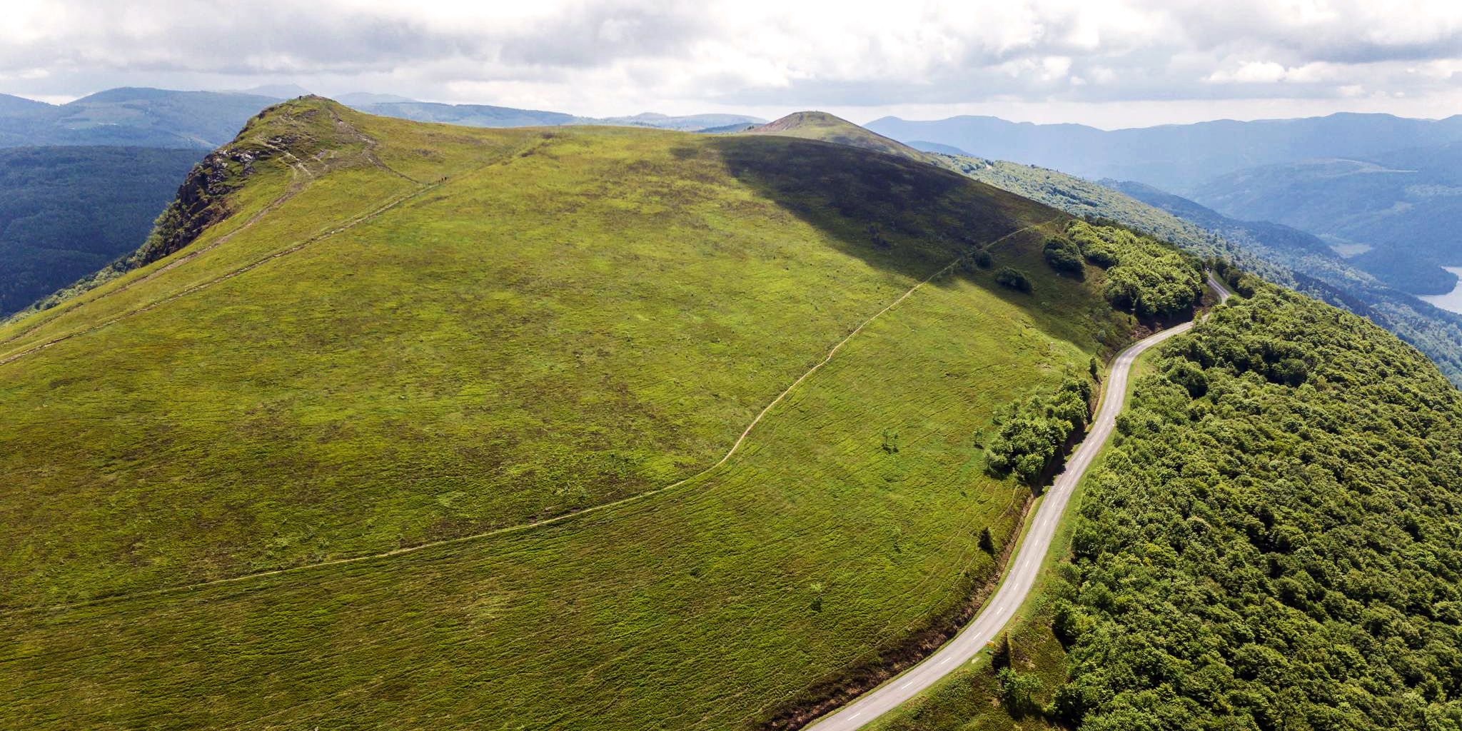
Beautiful passes In the Vosges Mountains
Road Cycling Routes around Urbach Bei Kaysersberg
Hiking around Urbach Bei Kaysersberg
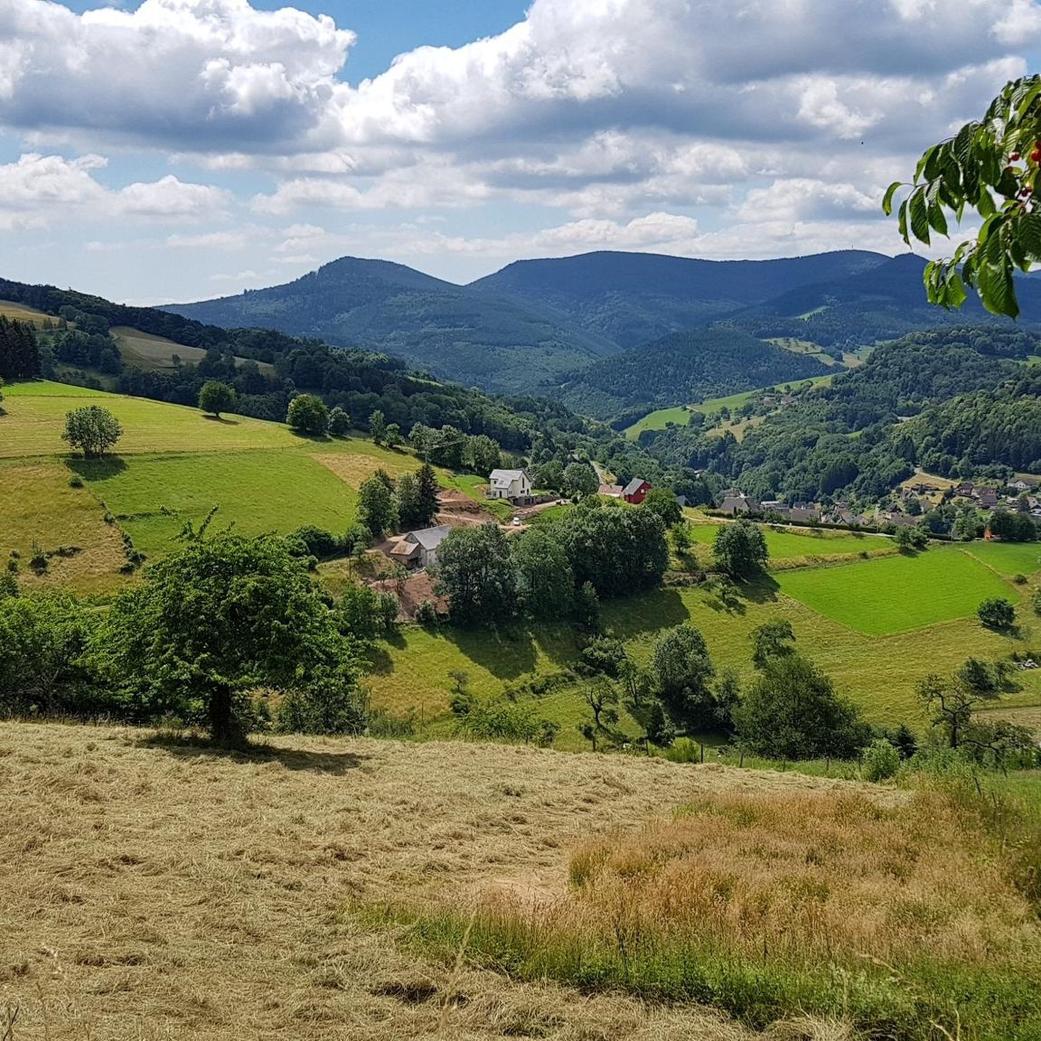
Cycling around Urbach Bei Kaysersberg

Gravel biking around Urbach Bei Kaysersberg
Running Trails around Urbach Bei Kaysersberg
MTB Trails around Urbach Bei Kaysersberg

Mountain Hikes around Urbach Bei Kaysersberg
Other adventures around Urbach Bei Kaysersberg

Tips from the Community


the descent on the silver valley is magical to do at full speed, good tour
0
0

There are no cars here early in the morning. Perfect peace and quiet and a long but moderate climb in both directions with a correspondingly fun descent
2
0
Nice car-free ride to the col. Shortly after, the route goes in waves to the col Ribeauville. This is where the actual descent begins. Let it run
1
1

3rd category pass from Sainte Marie aux Mines: 7.3 km at 5.4% average.
1
0

Nice pass with several possibilities to continue towards Sainte-Marie aux Mines, Aubure, Ribeauvillé.
2
0

Very impressive cemetery that is beautifully laid out and maintained. Truly a place of mourning and remembrance.
1
0

The Col Haut de Ribeauville from Ribeauville is 10.6 km long with a total drop of 477 m. The average gradient is 4.5% with maximum gradients of 7.6%.
5
0
Frequently Asked Questions
What are some of the most popular mountain passes around Urbach Bei Kaysersberg?
Visitors frequently appreciate the French military cemetery at Col du Wettstein for its historical significance and panoramic views. Other well-regarded passes include Bagenelles Pass, known for its quiet drives and scenic views over various valleys, and Fréland Pass, which offers a fantastic landscape and low traffic.
Are there any mountain passes with significant historical importance in the region?
Yes, the French military cemetery at Col du Wettstein is a notable historical site from World War I, featuring a cemetery for fallen soldiers and offering panoramic views. Additionally, the broader Route des Crêtes, which includes passes like Col du Calvaire, was originally built for strategic purposes during World War I, with visible remnants along the way.
What kind of scenic views can I expect from the mountain passes?
The passes offer diverse and breathtaking views. From the Bagenelles Pass, you can see various valleys. The Calvary Pass, part of the Route des Crêtes, provides magnificent views of Lac Blanc and surrounding peaks. On clear days, the Route des Crêtes can even offer panoramas extending to the Rhine plain, the Black Forest, and sometimes even the Swiss Alps and Mont Blanc.
Are there family-friendly mountain passes or activities near Urbach Bei Kaysersberg?
While specific passes may vary in difficulty, the French military cemetery at Col du Wettstein is categorized as family-friendly. The Col de la Schlucht, a famous pass along the Route des Crêtes, transforms into a popular winter sports center in winter and offers a summer toboggan run, making it suitable for families.
What outdoor activities can I do near these mountain passes?
The region is excellent for various outdoor activities. You can find numerous cycling routes, such as the 'Loop of the Vosges trails' or 'The Weiss River in Kaysersberg – Alsace Wine Route Vineyards loop from Le Bonhomme', which you can explore further in the Cycling around Urbach Bei Kaysersberg guide. For mountain biking, routes like 'Fréland Pass – In the center of Aubere loop from Aubure' are available in the MTB Trails around Urbach Bei Kaysersberg guide. Running enthusiasts can find trails like 'Col de Chamont loop from Fréland' in the Running Trails around Urbach Bei Kaysersberg guide.
What is the best time of year to visit the mountain passes?
The best time largely depends on your preferred activities. Summer is ideal for hiking, cycling, and enjoying the panoramic views along routes like the Route des Crêtes. In winter, passes like Col de la Schlucht become popular for winter sports. Always check local weather conditions, especially for higher passes, as some sections of the Route des Crêtes may be closed to traffic in winter.
Are there any easy mountain passes suitable for beginners or those seeking less strenuous routes?
The Haut de Ribeauvillé Pass is described as having an easy slope through woodland, making it easily accessible from both Ribeauville and Sainte-Marie-aux-Mines. The Col de Chamont, while offering elevation gain, is also praised for its relatively easy accessibility, suitable for various fitness levels.
Can I find places to eat or stay near the mountain passes?
Yes, especially along popular routes like the Route des Crêtes. This route features traditional "Ferme-Auberges" (farm-inns) where you can experience rustic Marcaire mountain meals. Col de la Schlucht also has restaurants, and nearby towns and villages offer various accommodation options.
What makes the Col de Chamont worth visiting?
The Col de Chamont, accessible from nearby Fréland, is known for its beautiful views of surrounding valleys and varied terrain outside dense forest, providing open vistas. At its summit, you'll find two modern sculptures, adding a unique artistic touch. It's a popular spot for hiking and cycling, offering tranquility and scenic beauty.
How long does it take to traverse some of these mountain passes?
The time required varies greatly depending on the pass and your mode of travel. For instance, the Haut de Ribeauvillé Pass from Ribeauville is 10.6 km long. The Col de Fréland involves an ascent of approximately 11 kilometers for hikers. The entire Route des Crêtes is an 88-kilometer-long scenic drive, which can take several hours to a full day to explore with stops.
What are some unique features of the Route des Crêtes?
The Route des Crêtes is an 88-kilometer-long scenic road traversing the Vosges massif, characterized by high-ridge driving, panoramic viewpoints, and diverse landscapes including lakes, mountains, meadows, and forests. It offers opportunities to spot local wildlife and features traditional "Ferme-Auberges." Its historical significance from World War I, with visible remnants, also adds to its unique appeal.
Most popular routes around Urbach Bei Kaysersberg
Most popular attractions around Urbach Bei Kaysersberg

Get inspired with the komoot mobile app


Explore more
See even more epic mountain passes by checking out these guides around Urbach Bei Kaysersberg:
