The best MTB trails around Durrenentzen
4.5
(515)
2,109
riders
155
rides
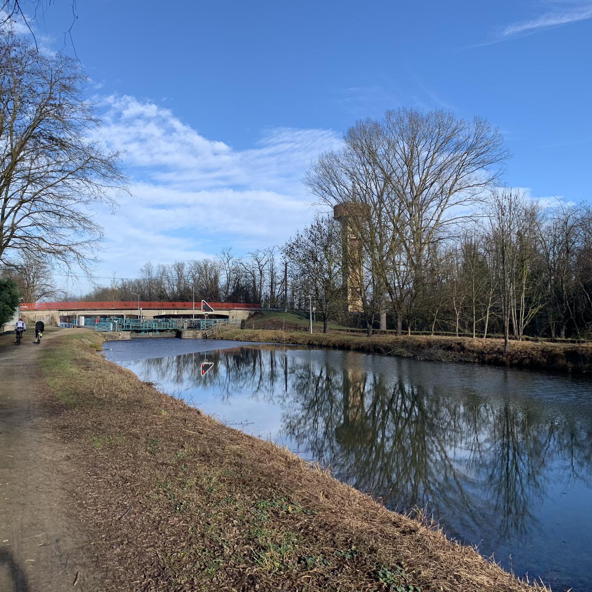
Mountain biking around Durrenentzen offers a network of routes primarily characterized by flat terrain and canal-side paths. The region features low elevation gains, making it suitable for easy mountain bike trails Durrenentzen. Many mountain bike trails Durrenentzen follow the courses of canals like the Canal de Colmar and Canal du Rhône au Rhin, providing consistent surfaces for cycling. The overall mountain bike trail length Durrenentzen is varied, with many routes offering extended distances along these waterways.
Best mountain bike trails…
Last updated: July 4, 2026
4.5
(2)
17
riders
47.1km
02:48
90m
90m
Moderate mountain bike ride. Good fitness required. Advanced riding skills necessary.
3.0
(1)
9
riders
27.0km
01:28
30m
30m
Easy mountain bike ride. Great for any fitness level. Suitable for all skill levels.

Sign up for free
4.0
(1)
4
riders
24.9km
01:22
30m
30m
Easy mountain bike ride. Great for any fitness level. Suitable for all skill levels.
3.0
(1)
8
riders
14.6km
00:47
20m
20m
Easy mountain bike ride. Great for any fitness level. Suitable for all skill levels.
5.0
(1)
9
riders
30.6km
01:40
30m
30m
Easy mountain bike ride. Great for any fitness level. Suitable for all skill levels.
Get access to more routes and recommendations from other explorers.
Sign up for free
Already have an account?
Our route recommendations are based on thousands of hikes, rides, and runs completed by other people on komoot.
Start today with a free account
Your next adventure awaits.
Login or Signup
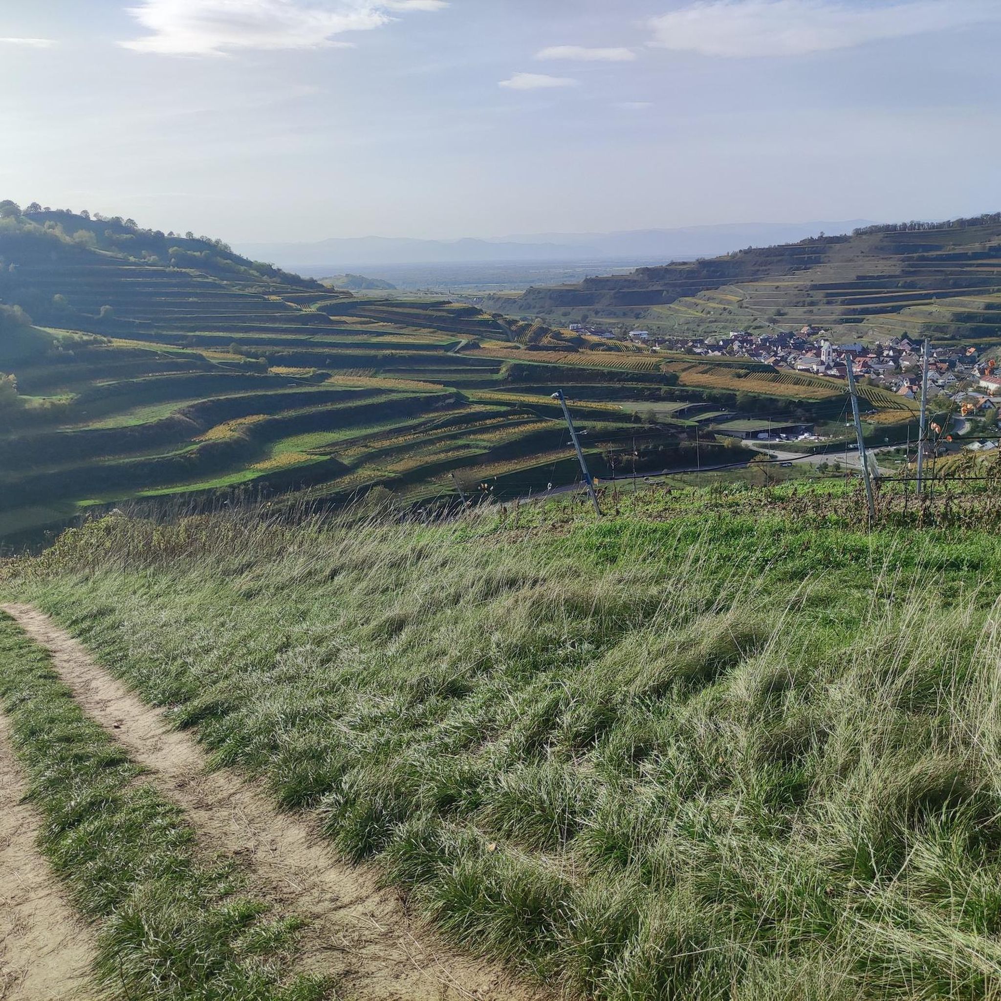
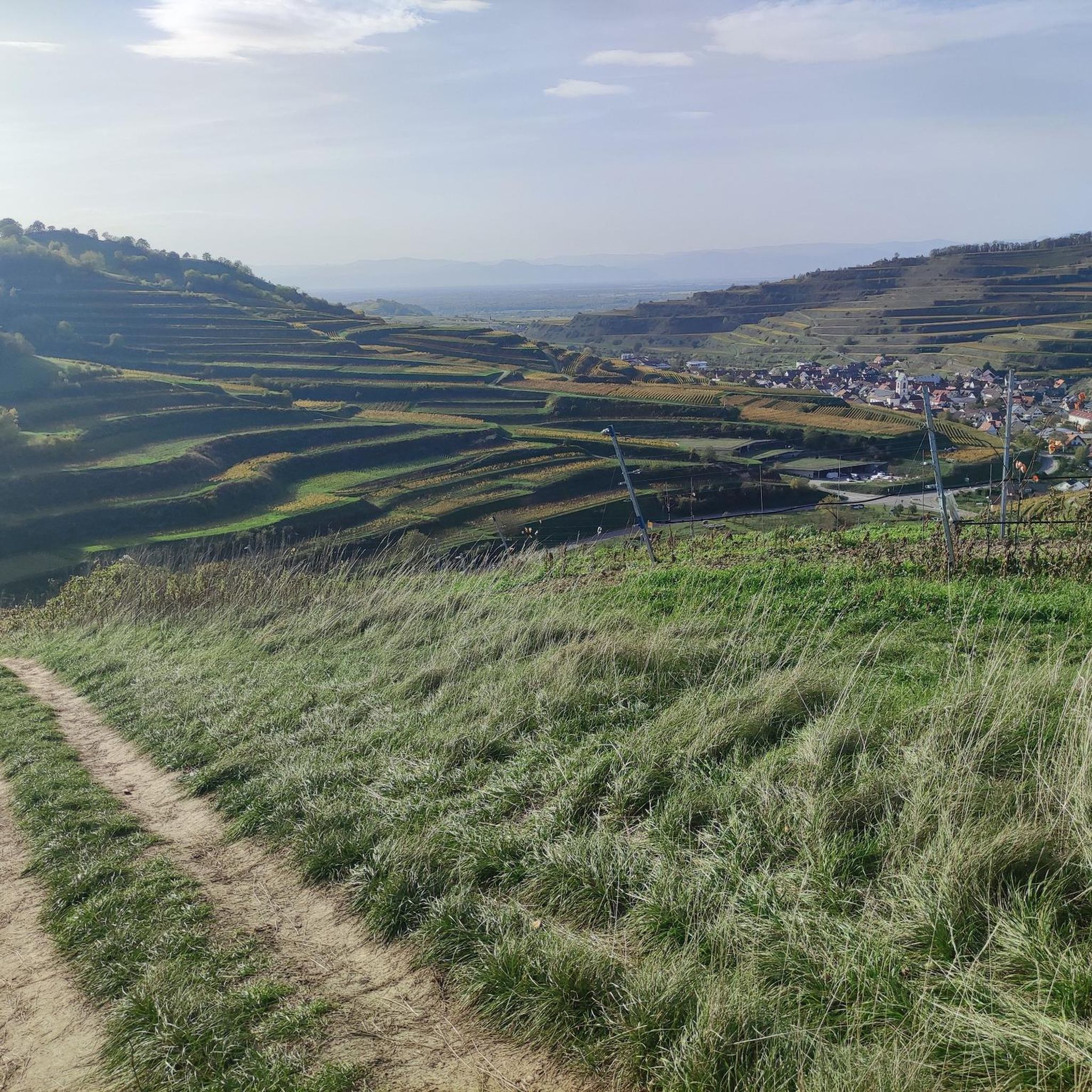
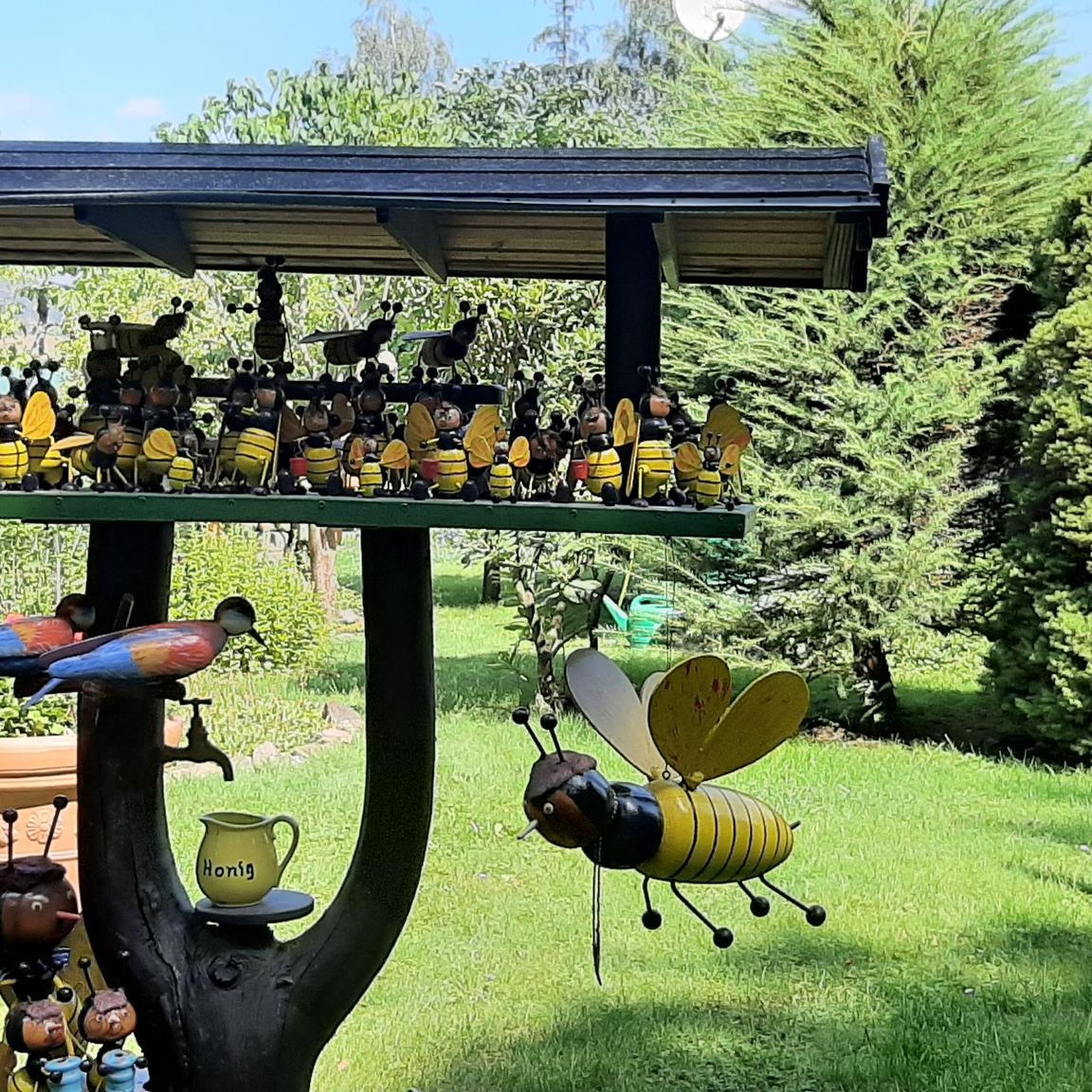
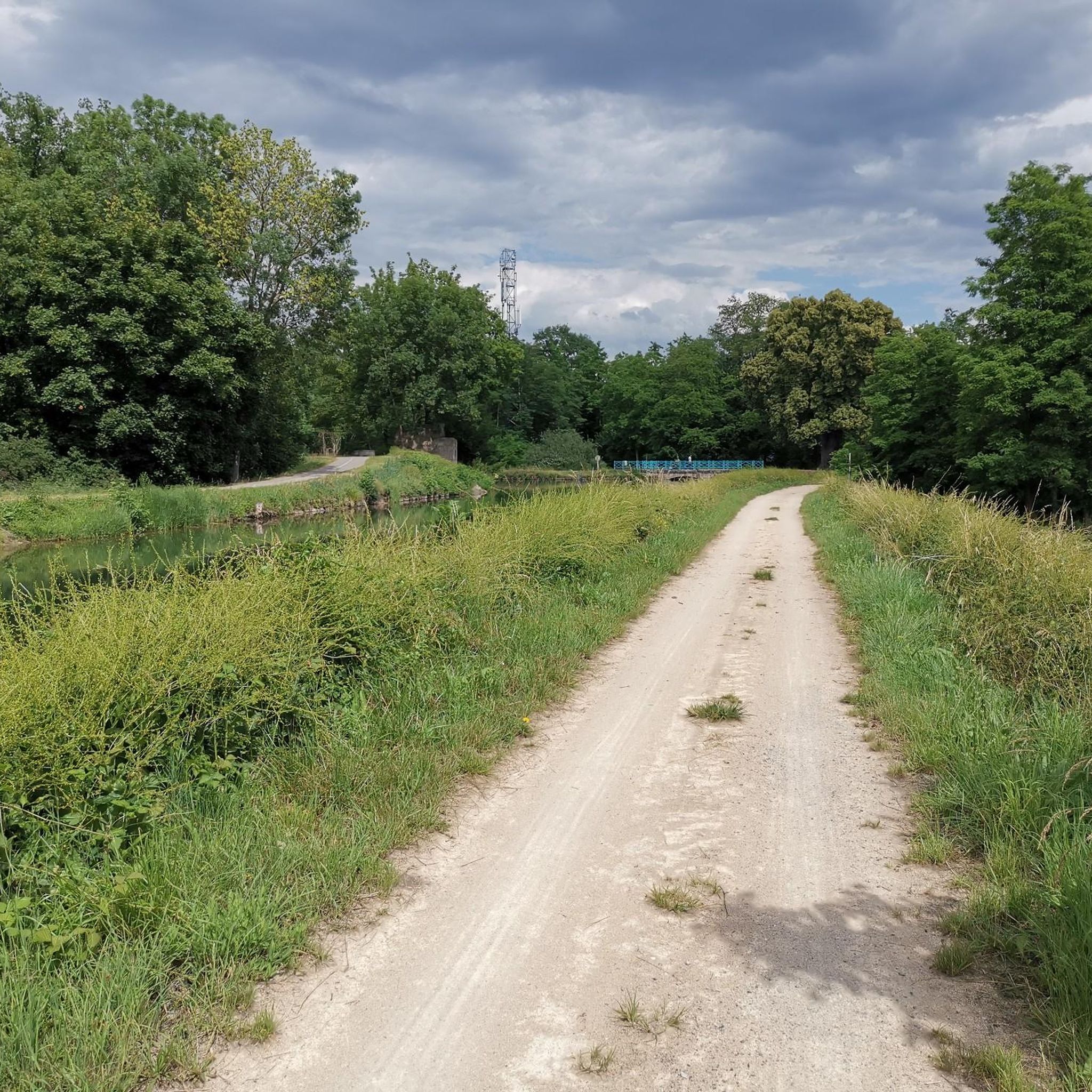
Tips from the Community

A dreamlike, meandering path, "Voie verte" as the French say.
0
0
The Canal du Rhône au Rhin is the connection between the Canal du Colmar and the Canal du Neuf Brisach, so it goes along the canal forever 🤪
0
0
If you don’t know it, you should definitely stop by 😉
0
0

Always impressive! I find all of Vauban's works fascinating!
0
0

Neuf Brisach has four city gates, each at a 90-degree angle to each other. Only two of the old city gates survived: the Belfort Gate and the Colmar Gate. This gate changed its function several times. Initially, it served as a bakery and kitchen for the army. Later, the Germans converted it into a police station and prison. The upper floor also served as a casino for the German garrison.
8
0

Beautiful gravel path through nature along the canal.
0
0
Very beautiful section through nature on the Canal du Rhône au Rhin.
0
0
Frequently Asked Questions
How many mountain bike trails are there in Durrenentzen?
Durrenentzen offers a wide selection of mountain bike trails, with over 160 routes available. The majority are easy to moderate, making the region accessible for various skill levels.
Are there many easy mountain bike trails suitable for beginners in Durrenentzen?
Yes, Durrenentzen is particularly well-suited for beginners and those looking for easy rides. There are 51 easy mountain bike trails, often following flat canal paths with minimal elevation gain. A great example is the Tulla Greenway – Canal Path Near Bahlingen loop from Artzenheim, which is 9.1 miles (14.6 km) long and very flat.
What are some good family-friendly mountain bike trails around Durrenentzen?
The flat and well-maintained canal paths around Durrenentzen are ideal for family outings. Routes like the Canal de Colmar – Canal de Colmar loop from Bischwihr, an 17.4 miles (28.0 km) easy trail, offer safe and enjoyable cycling for all ages. These trails typically have low traffic and scenic views.
Can I bring my dog on the mountain bike trails in Durrenentzen?
Many of the canal-side paths and agricultural routes around Durrenentzen are suitable for cycling with dogs, provided they are well-behaved and kept under control. Always ensure your dog is comfortable with the distance and terrain, and carry enough water for both of you. It's advisable to check local regulations for specific areas.
Are there any circular mountain bike routes in Durrenentzen?
Yes, many of the mountain bike trails in Durrenentzen are designed as circular routes, allowing you to start and finish at the same point. Popular options include the Canal de Colmar – Canal du Rhône au Rhin loop from Fortschwihr, an easy 17.0 miles (27.4 km) ride, and the Colmar Canal – Canal de Colmar loop from Widensolen, which is 15.5 miles (24.9 km).
What is the typical length of mountain bike trails in Durrenentzen?
The mountain bike trails in Durrenentzen vary in length, but many are designed for longer, relaxed rides along the canals. You'll find routes ranging from shorter loops around 9 miles (14 km) to longer excursions exceeding 17 miles (27 km), such as the Canal de Colmar – Canal Path Near Bahlingen loop from Durrenentzen, which is 16.8 miles (27.0 km).
What is the best time of year for mountain biking in Durrenentzen?
The spring and autumn months generally offer the most pleasant conditions for mountain biking in Durrenentzen, with milder temperatures and beautiful scenery. Summer can also be enjoyable, especially along the shaded canal paths, but be prepared for warmer weather. Winter riding is possible, but some paths may be muddy or icy.
Are there places to park near the mountain bike trails in Durrenentzen?
Yes, many of the starting points for mountain bike trails in Durrenentzen, especially those in or near villages like Durrenentzen, Fortschwihr, or Widensolen, offer convenient parking options. Look for public parking areas in these towns, often near canal access points or local amenities.
What kind of natural attractions can I see while mountain biking in Durrenentzen?
While mountain biking in Durrenentzen, you'll primarily experience the serene canal landscapes and open agricultural areas. For specific natural monuments, you might explore areas like the Cycle path in the Kaiserstuhl or the unique Eichgasse Loess Hollow Way, which offer distinct geological features.
Are there any more challenging mountain bike trails in Durrenentzen for experienced riders?
While Durrenentzen is known for its flat canal paths, there are a few routes that offer a bit more challenge. The region features 5 difficult trails and 108 moderate trails. These might include slightly more varied terrain or longer distances, moving away from the immediate canal banks into more undulating agricultural landscapes.
What do other mountain bikers say about the trails in Durrenentzen?
The mountain bike trails around Durrenentzen are highly regarded by the komoot community, boasting an average rating of 4.5 stars from over 400 reviews. Riders frequently praise the peaceful canal-side routes, the ease of navigation, and the beautiful, flat scenery that makes for a relaxing cycling experience.
Are there any mountain bike trails that pass by places to eat or drink?
Many of the mountain bike trails in Durrenentzen pass through or near small villages and towns along the canals. These often have local bakeries, cafes, or traditional Alsatian restaurants where you can stop for a refreshment or a meal. Planning your route with komoot allows you to easily identify such points of interest along the way.
Most popular routes around Durrenentzen
Most popular attractions around Durrenentzen

Get inspired with the komoot mobile app


Explore more
Browse the best MTB trails in other regions.
