The best walks and hikes around Wiwersheim
4.7
(335)
2,307
hikers
197
hikes
Hiking around Wiwersheim offers access to a landscape characterized by rolling hills, agricultural fields, and interspersed woodlands. The region provides a network of paths suitable for exploring the rural surroundings. Elevation changes are generally gentle, making many routes accessible for various fitness levels. The terrain primarily consists of well-maintained trails and quiet country roads.
Best hiking trails around Wiwersheim
- The most popular hiking route is Hiking loop from Truchtersheim, a 2.0 miles (3.2 km) trail that takes 48 minutes…
Last updated: May 20, 2026
4.3
(3)
22
hikers
3.16km
00:48
10m
10m
Easy hike. Great for any fitness level. Easily-accessible paths. Suitable for all skill levels.
5.0
(1)
7
hikers
8.82km
02:24
130m
130m
Moderate hike. Good fitness required. Easily-accessible paths. Suitable for all skill levels.

Sign up for free
5.0
(1)
7
hikers
5.95km
01:34
50m
40m
Easy hike. Great for any fitness level. Easily-accessible paths. Suitable for all skill levels.
6
hikers
8.87km
02:19
60m
60m
Moderate hike. Good fitness required. Easily-accessible paths. Suitable for all skill levels.
5.0
(1)
8
hikers
9.43km
02:25
40m
40m
Moderate hike. Good fitness required. Easily-accessible paths. Suitable for all skill levels.
Get access to more routes and recommendations from other explorers.
Sign up for free
Already have an account?
Our route recommendations are based on thousands of hikes, rides, and runs completed by other people on komoot.
Start today with a free account
Your next adventure awaits.
Login or Signup

Frequently Asked Questions
How many hiking trails are available around Wiwersheim?
There are over 170 hiking routes around Wiwersheim, offering a wide range of options for different preferences and fitness levels. The komoot community has explored these trails over 2,300 times.
Are there easy hiking trails suitable for beginners or families in Wiwersheim?
Yes, Wiwersheim offers many easy trails perfect for beginners or families. With 73 easy routes, you'll find paths with gentle elevation changes through agricultural fields and quiet country roads. An example is the Hiking loop from Truchtersheim, which is just 3.2 km long.
What is the best time of year to go hiking in Wiwersheim?
The region around Wiwersheim is enjoyable for hiking throughout much of the year. Spring and autumn offer pleasant temperatures and beautiful scenery, with blooming fields or colorful foliage. Summer is also suitable, especially in the mornings or late afternoons, while winter can provide peaceful walks, though some paths might be muddy.
Are there any circular walks around Wiwersheim?
Yes, many of the trails around Wiwersheim are circular, allowing you to start and end your hike in the same location. Popular options include the Kochersberg loop from Neugartheim-Ittlenheim and the Alsatian Mural loop from Wiwersheim, both offering scenic round trips.
What kind of scenery can I expect on hikes around Wiwersheim?
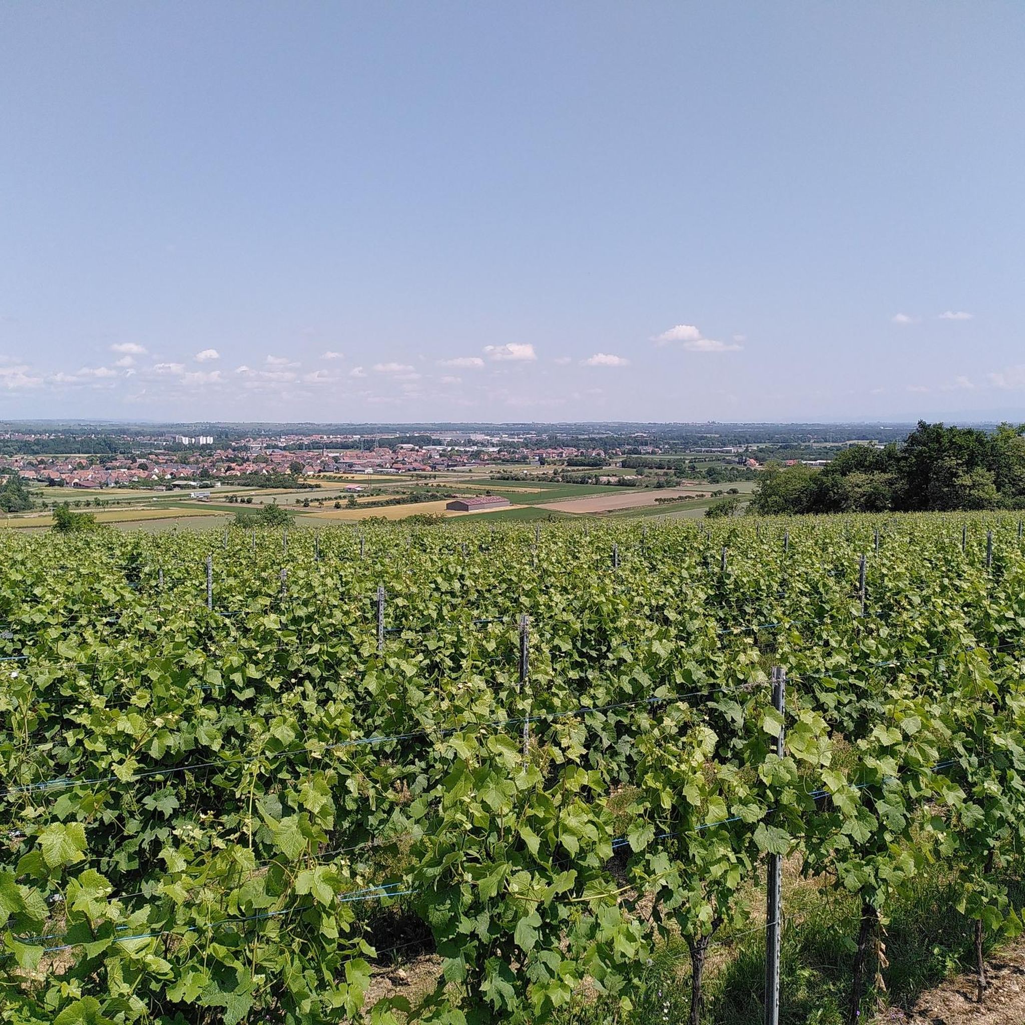
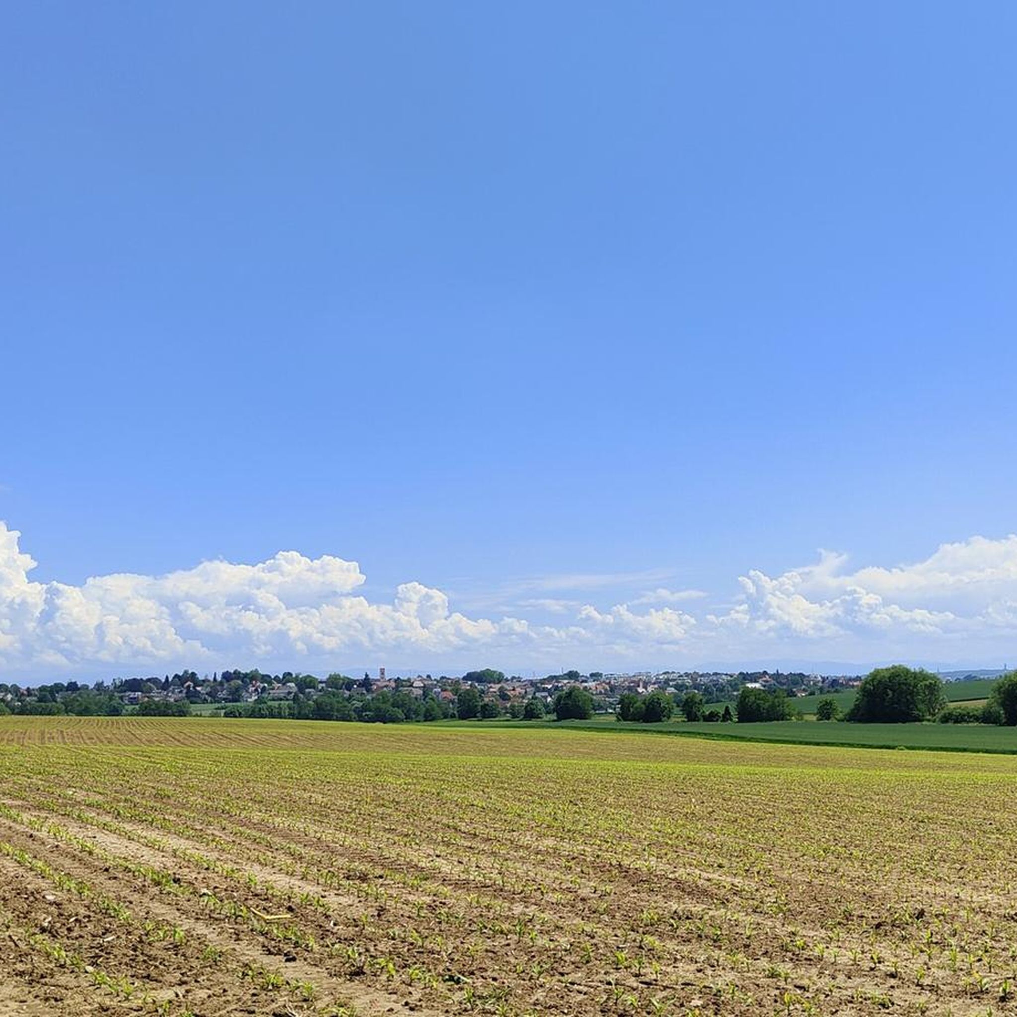
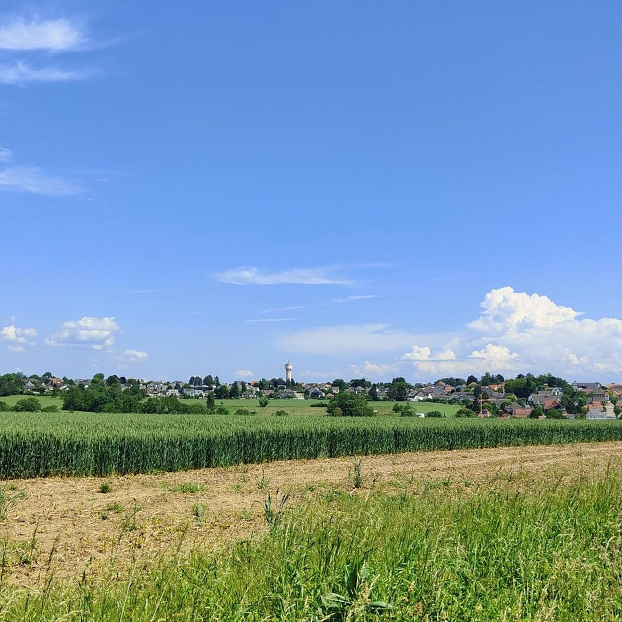
Hikes around Wiwersheim feature a characteristic landscape of rolling hills, expansive agricultural fields, and interspersed woodlands. You'll often encounter quiet village paths and well-maintained country roads, providing a peaceful rural experience.
Are there any interesting landmarks or attractions to see along the hiking trails?
Yes, the region offers some points of interest. You might encounter parts of the historic Canal de la Bruche, which is a lovely spot for a break. One highlight is the Lock House No. 3 – Cyclists' Refreshment Stop, which can be a nice place to pause during your walk.
Are the hiking trails in Wiwersheim dog-friendly?
Generally, the rural paths and country roads around Wiwersheim are suitable for walking with dogs. However, it's always recommended to keep dogs on a leash, especially when passing through agricultural areas or near livestock, and to respect local regulations.
What do other hikers enjoy most about the trails in Wiwersheim?
The komoot community highly rates the trails in Wiwersheim, with an average score of 4.6 out of 5 stars from nearly 300 reviews. Hikers often praise the peaceful rural atmosphere, the well-maintained paths, and the accessibility of routes for various fitness levels.
Are there options for longer, more challenging hikes in Wiwersheim?
While many routes are easy to moderate, there are 94 moderate and 7 difficult trails available for those seeking a longer or more challenging experience. These routes often cover more distance and may include slightly more varied terrain, such as the 9.4 km Hiking loop from Wiwersheim.
Can I access hiking trails in Wiwersheim using public transport?
Access to trails via public transport can vary. While some villages might have bus connections, many routes start from central points in Wiwersheim or nearby towns that are more easily reached by car. It's advisable to check local bus schedules for specific starting points if you plan to use public transport.
Are there places to eat or drink along the hiking routes in Wiwersheim?
As you hike through Wiwersheim and its surrounding villages, you may find local eateries or small cafes, particularly in the larger settlements. The Lock House No. 3 – Cyclists' Refreshment Stop along the Canal de la Bruche is one such spot where you can take a break.
What is the typical duration of hikes around Wiwersheim?
Hikes around Wiwersheim vary in duration. Shorter, easy loops like the Hiking loop from Truchtersheim can be completed in under an hour, while moderate trails such as the Alsatian Mural loop from Truchtersheim might take around 1.5 to 2 hours. Longer routes can extend to 3 hours or more.
Most popular routes around Wiwersheim
Most popular attractions around Wiwersheim

Get inspired with the komoot mobile app


Explore more
Browse the best Hikes in other regions.
