The best walks and hikes around Blodelsheim
4.4
(1443)
7,397
hikers
465
hikes
Hiking around Blodelsheim offers access to diverse landscapes in the Haut-Rhin department of northeastern France. The region is characterized by its location between the Rhine River and the extensive Hardt Forest, providing varied natural features. Terrain is generally flat, with routes often following old dikes, forest paths, and riverbanks. These features create a network of trails suitable for exploring the local flora and fauna.
Best hiking trails around Blodelsheim
- The most popular hiking route is Käfigecken Nature Trail – Käfigecken…
Last updated: July 1, 2026
4.8
(10)
81
hikers
Easy hike. Great for any fitness level. Easily-accessible paths. Suitable for all skill levels.
4.0
(7)
15
hikers
Moderate hike. Good fitness required. Easily-accessible paths. Suitable for all skill levels.

Sign up for free
5.0
(4)
22
hikers
Moderate hike. Good fitness required. Easily-accessible paths. Suitable for all skill levels.
3.0
(3)
13
hikers
Easy hike. Great for any fitness level. Easily-accessible paths. Suitable for all skill levels.
4.0
(1)
13
hikers
4.10km
01:03
10m
10m
Easy hike. Great for any fitness level. Easily-accessible paths. Suitable for all skill levels.
Get access to more routes and recommendations from other explorers.
Sign up for free
Already have an account?
Our route recommendations are based on thousands of hikes, rides, and runs completed by other people on komoot.
Start today with a free account
Your next adventure awaits.
Login or Signup

Tips from the Community

On the Rennsteig trail, you're used to seeing worn-out hiking boots hanging everywhere 🥾. But here – something new 🤣
0
0

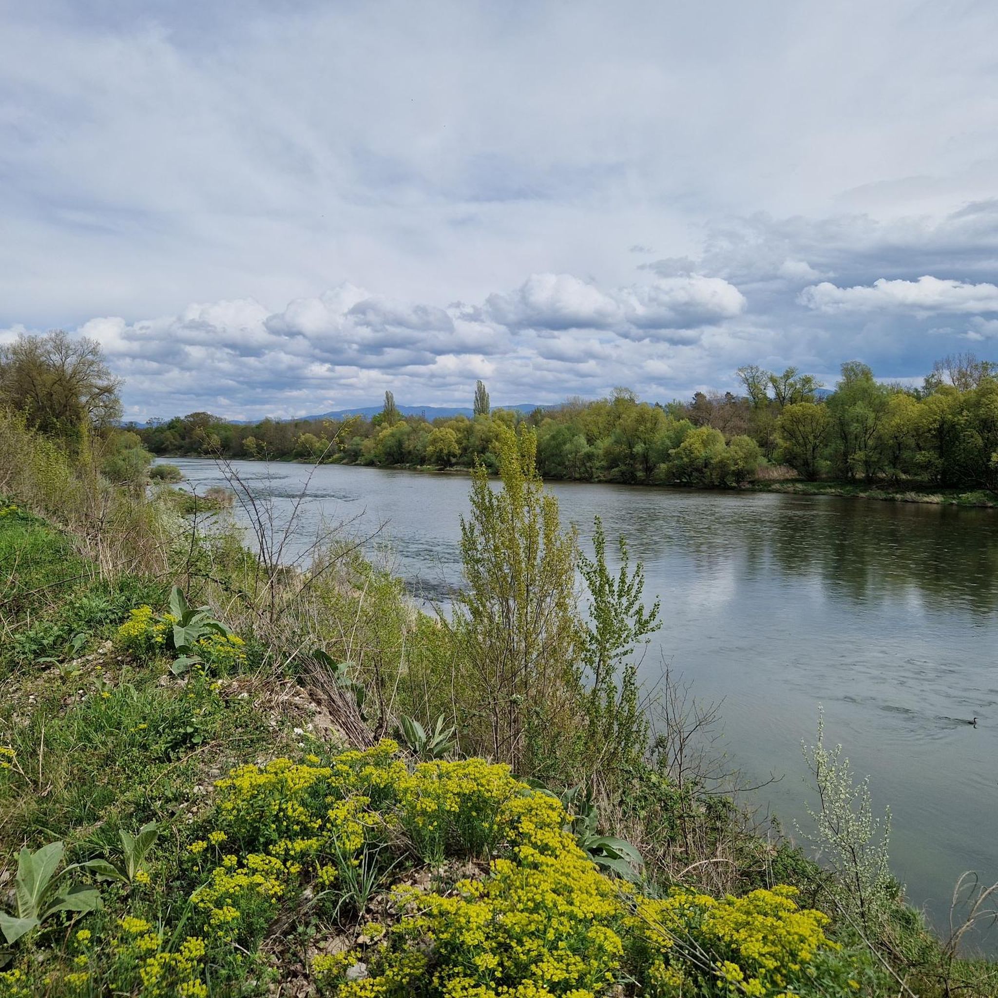
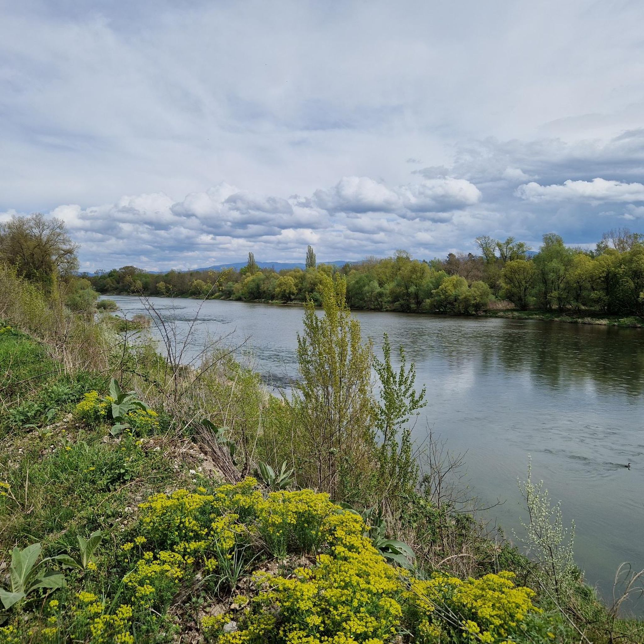
There were a lot of young people out and about, whether canoeing, swimming or anything else, great
0
0

A nature trail with the "Integrated Rhine Program" project https://www.komoot.com/de-de/tour/714483325
1
0
An educational trail in the Rhine meadows - IRP - Integrated Rhine Programme -
0
0

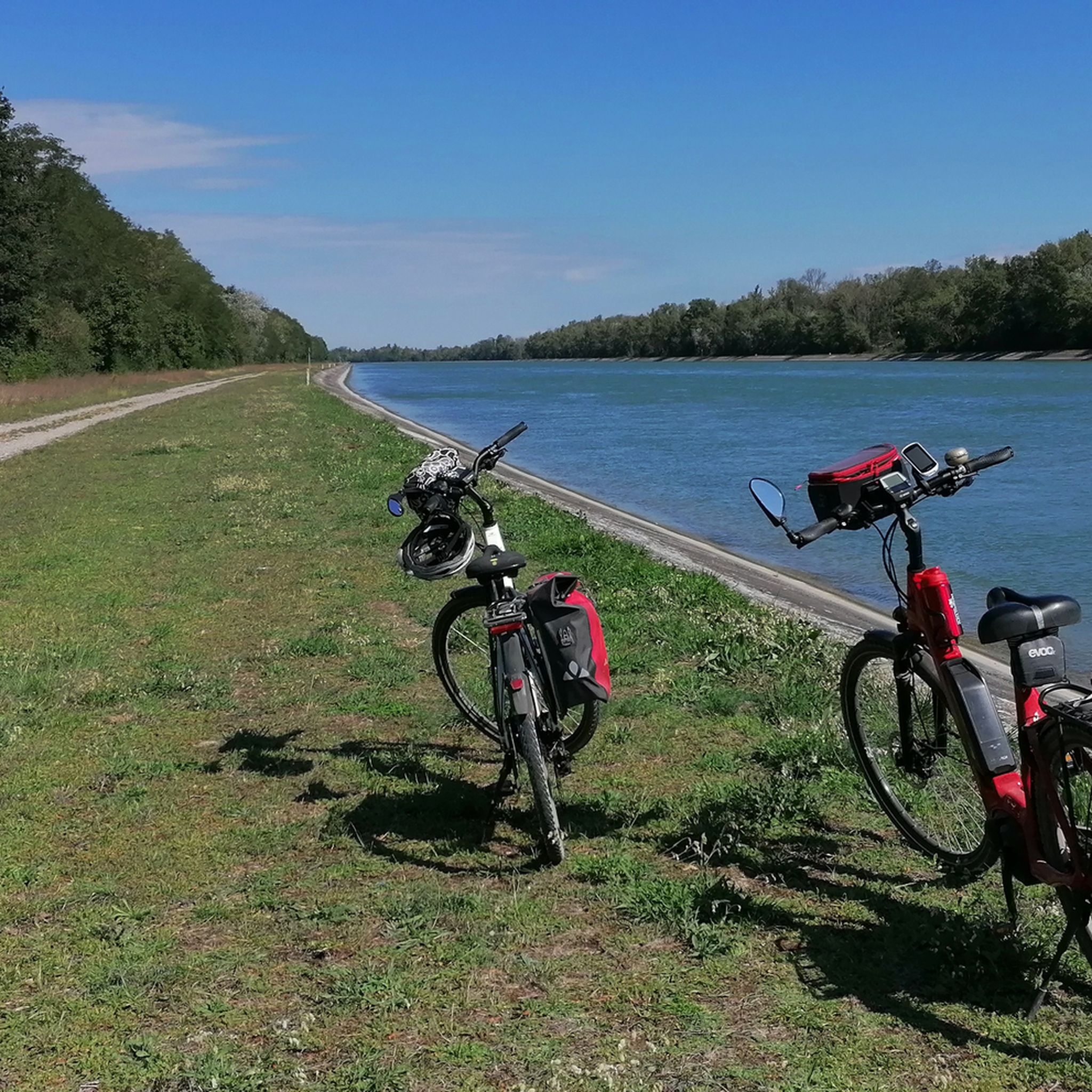
A great region and a well-developed cycle path.
0
0
Just take a break and enjoy
0
0
It was just nice to cycle there
0
0
On a tour through the Rheinaue, the guest and traveler discovers the stony subsoil, which gives a small impression of the former location and actual width of the Rhine. Keyword: Flood 1525 along the Rhine (source: Museum Neuenburg am Rhein) Tour guide + wine consultant RALF KUHTZ projects and educational paths https://youtu.be/a96lWhZBxzs
0
0
Frequently Asked Questions
What kind of terrain can I expect on hiking trails around Blodelsheim?
Hiking around Blodelsheim primarily features generally flat terrain. You'll often find paths following old dikes, tranquil forest trails through the Hardt Forest, and riverbanks along smaller waterways like the Muhlbach River. The Hardt Forest itself is characterized by its dry conditions and unique oak-hornbeam forests, offering a pleasant and varied walking surface.
Are there easy hiking options suitable for beginners or a relaxed stroll?
Yes, Blodelsheim offers numerous easy hiking options. For instance, the Käfigecken Nature Trail – Käfigecken Nature Discovery Trail loop from Blodelsheim is an easy 3.8 km route that takes about 1 hour to complete, perfect for exploring local nature trails. Another accessible choice is the Rhine Cycle Path – Grißheim Gravel Pit Lake loop from Blodelsheim, an easy 4.1 km path.
What are the longer or more challenging hiking routes available?
For those seeking a longer experience, the Käfigecken Nature Discovery Trail – Käfigecken Nature Trail loop from Blodelsheim is a moderate 10.0 km path that extends further into the Hardt Forest. Another moderate option is the Käfigecken Nature Trail – Pont de la Hardt loop from Blodelsheim, which is 8.7 km and typically takes around 2 hours 15 minutes.
Are there any circular walks in the Blodelsheim area?
Yes, many of the trails around Blodelsheim are designed as circular routes, allowing you to start and end in the same location. Examples include the Käfigecken Nature Trail – Käfigecken Nature Discovery Trail loop from Blodelsheim and the Käfigecken Nature Trail loop from Grißheim, both offering convenient loop experiences.
What natural features or landmarks can I see while hiking in Blodelsheim?
The region is rich in natural features. You'll encounter the extensive Hardt Forest with its unique oak-hornbeam trees, and the influence of the Rhine River is evident, with old dikes forming part of walking paths. Smaller waterways like the Muhlbach River also add to the scenery. For specific points of interest, consider exploring highlights such as the Neuenburg-on-Rhine Bridge or the scenic Rhine Cycling and Hiking Trail.
Are the hiking trails around Blodelsheim suitable for families with children?
Yes, Blodelsheim offers family-friendly options. The local 'Garrulus Trail' is specifically designed to be fun for both adults and children, exploring the Hardt forests and the Muhlbach river over 3.2 kilometers. Many of the easy, relatively flat routes are also well-suited for families looking for a pleasant outdoor experience.
Can I bring my dog on the hiking trails in Blodelsheim?
While specific dog regulations can vary, the natural environment of the Hardt Forest and the numerous forest paths generally welcome dogs. It's always recommended to keep your dog on a leash, especially in areas with wildlife or near agricultural land, and to follow local signage regarding pet policies.
What is the best season to go hiking in Blodelsheim?
Blodelsheim's hiking trails can be enjoyed throughout much of the year. Spring brings fresh greenery and blooming flora, while autumn offers beautiful fall colors in the Hardt Forest. The dry conditions of the Hardt Forest can make it pleasant even after some rain. Summers are generally warm, and winters, while cooler, can still offer crisp, clear days for walking.
How many hiking routes are there in total around Blodelsheim?
There are nearly 500 hiking routes available around Blodelsheim on komoot, offering a wide variety of choices for different preferences and fitness levels. This includes over 300 easy routes and more than 160 moderate trails.
What do other hikers say about the trails in Blodelsheim?
The hiking routes in Blodelsheim are highly rated by the komoot community, with an average score of 4.4 stars from over 1300 reviews. Hikers often praise the tranquil pathways through the Hardt Forest, the well-maintained trails, and the opportunity to explore the diverse local flora and fauna.
Are there any historical sites or cultural attractions near the hiking routes?
While the focus is on natural landscapes, the region has historical connections. For example, the 'Garrulus Trail' follows an old dike that once protected Blodelsheim from Rhine floods. Further afield, you can find cultural highlights such as the Malteser Castle in Heitersheim or St. Peter's Church in Betberg, which can be combined with a hiking trip.
Is there public transport access to the trailheads in Blodelsheim?
Information on specific public transport links directly to every trailhead is best checked with local transport providers. Blodelsheim is a commune in the Haut-Rhin department, and local bus services typically connect villages. For detailed planning, it's advisable to consult regional public transport schedules.
Most popular attractions around Blodelsheim

Get inspired with the komoot mobile app


Explore more
Browse the best Hikes in other regions.
